A Systematic Journey
An extrapolation of human & nature systems

Ankit Raichurkar

Ankit Raichurkar
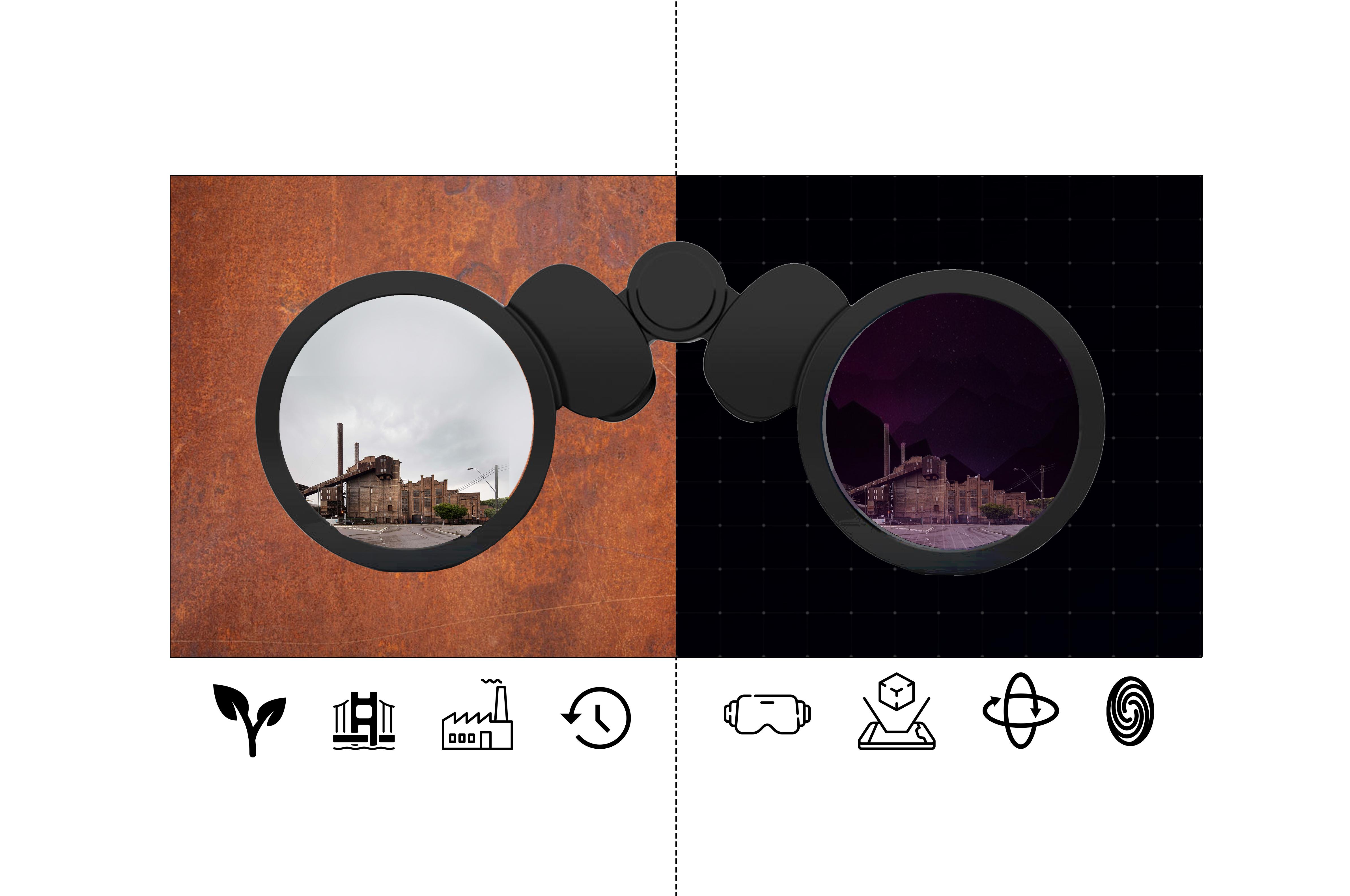
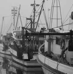
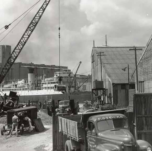
This group led studio allowed for understanding the industrial process on site as well as the community connection to history. Upcycling became the focus area of the group, with an exploration of the working city key in the produced design work.
To reuse (discarded objects or material) in such a way as to create a product of higher quality or value than the original.
(Oxford English Dictionary)
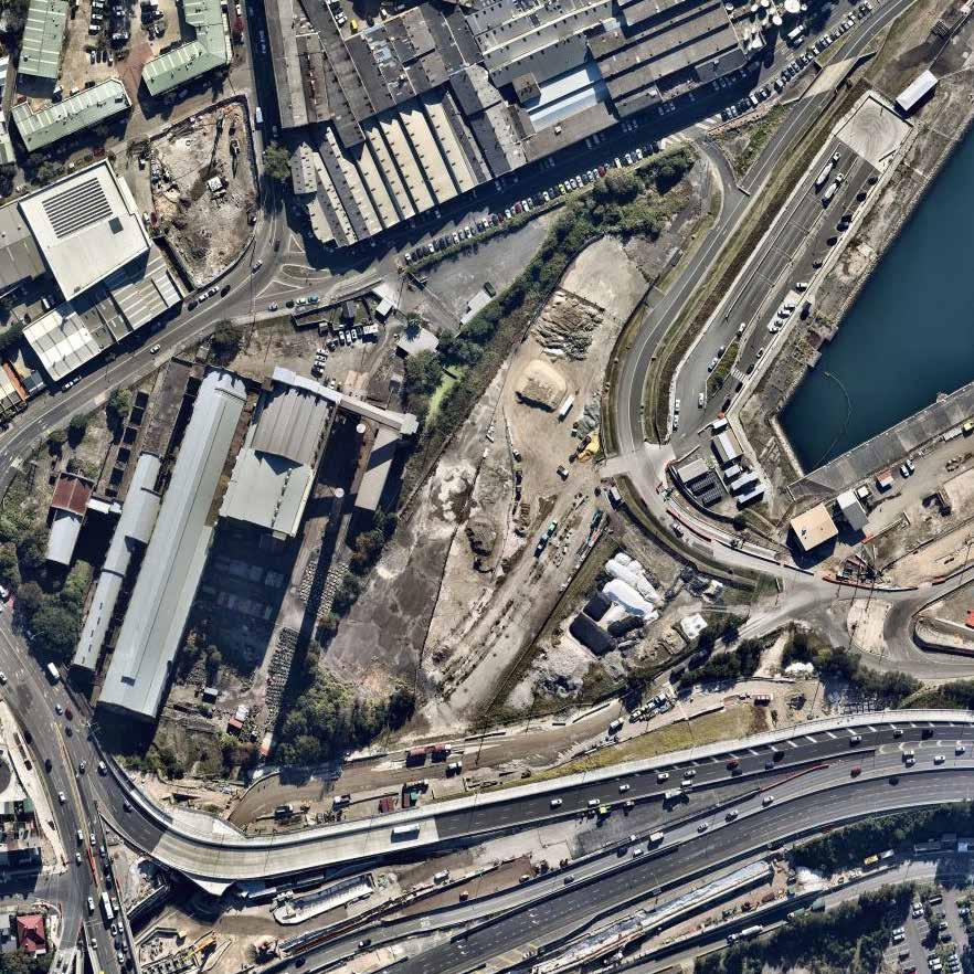
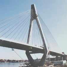
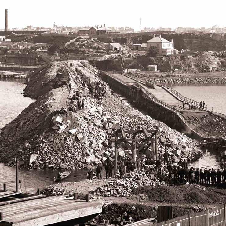
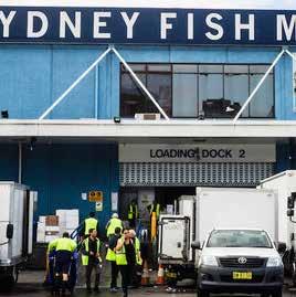
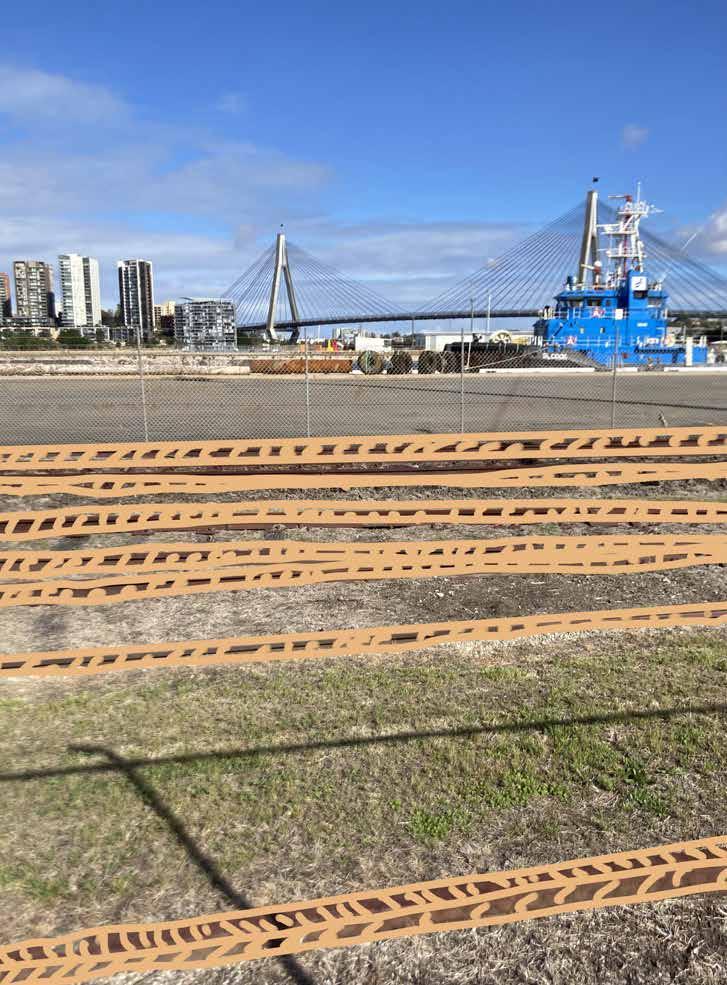
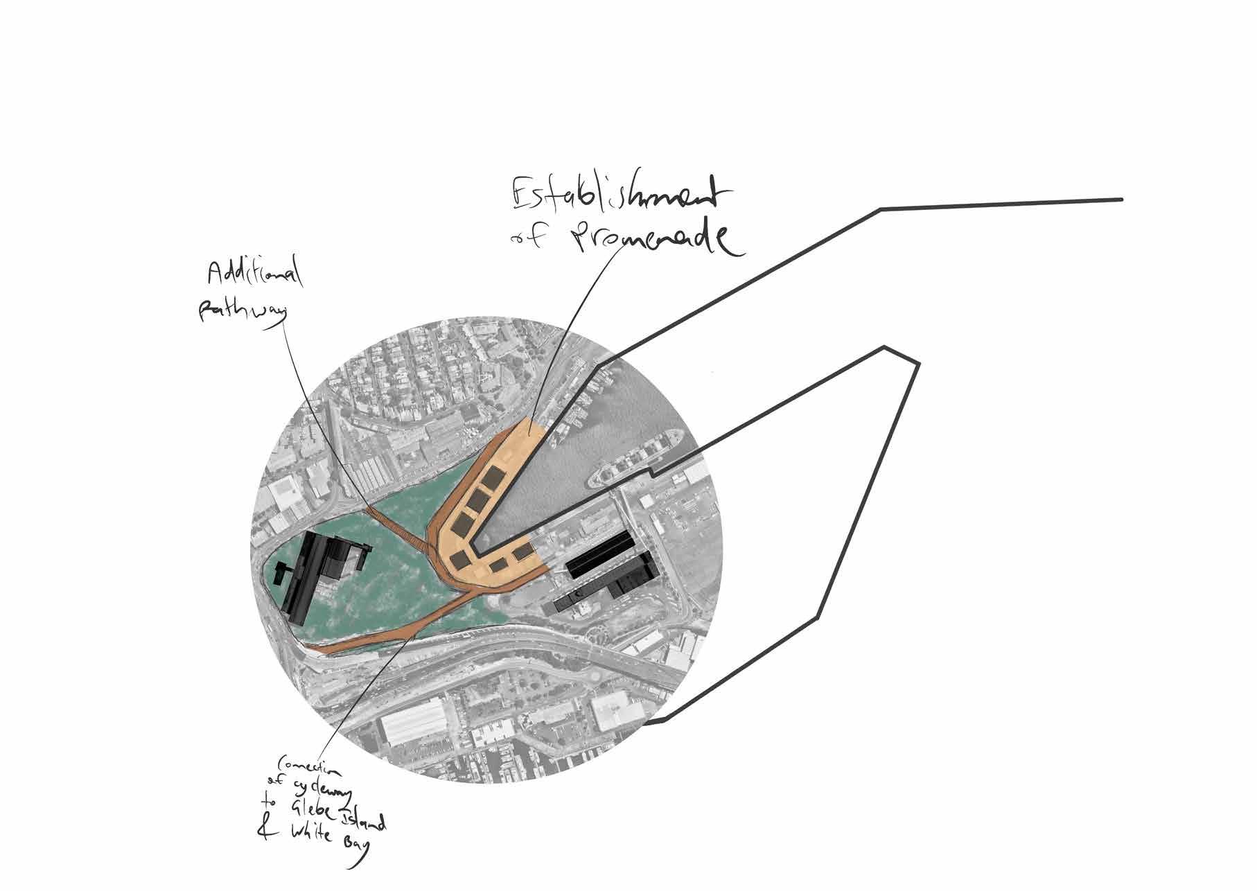
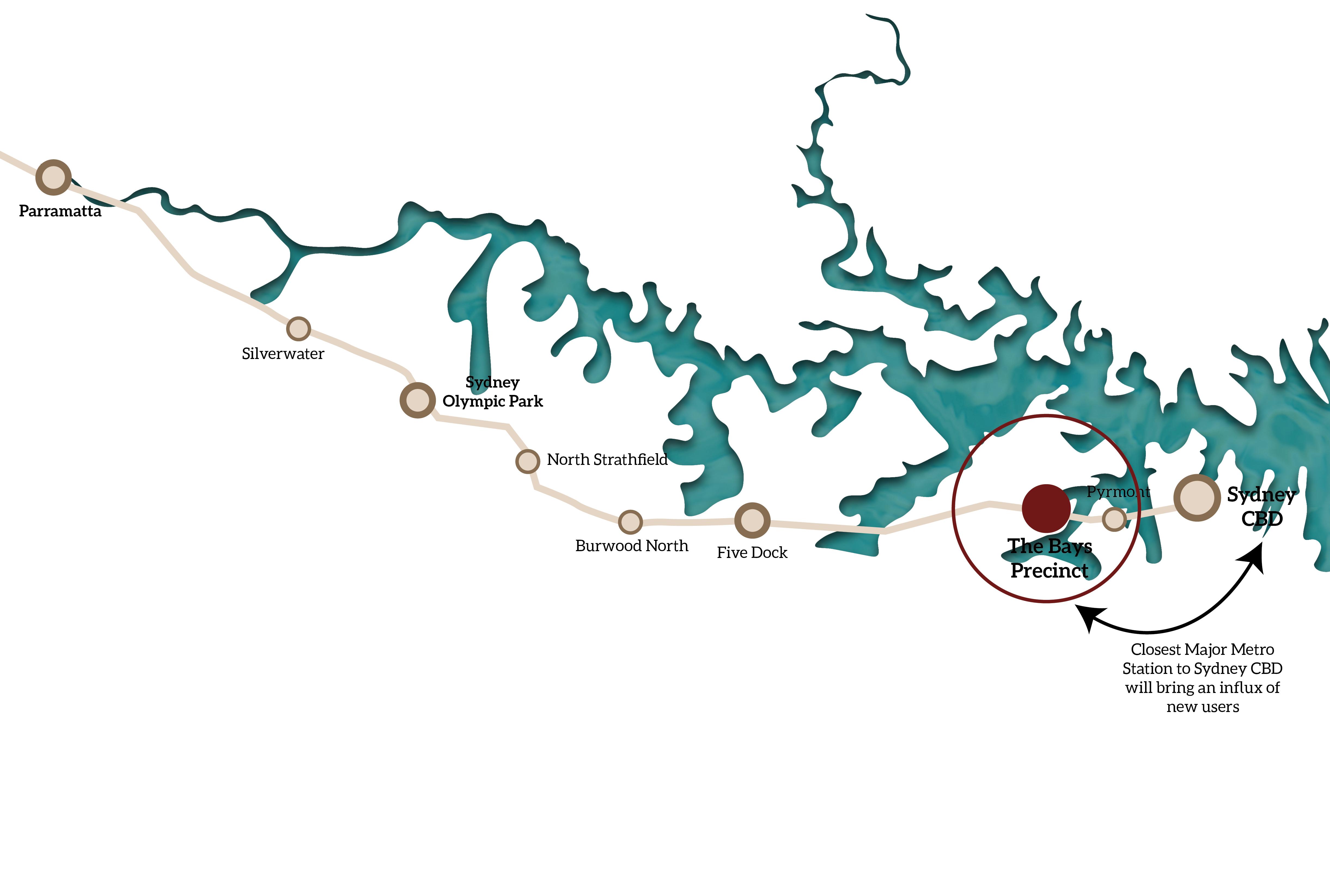
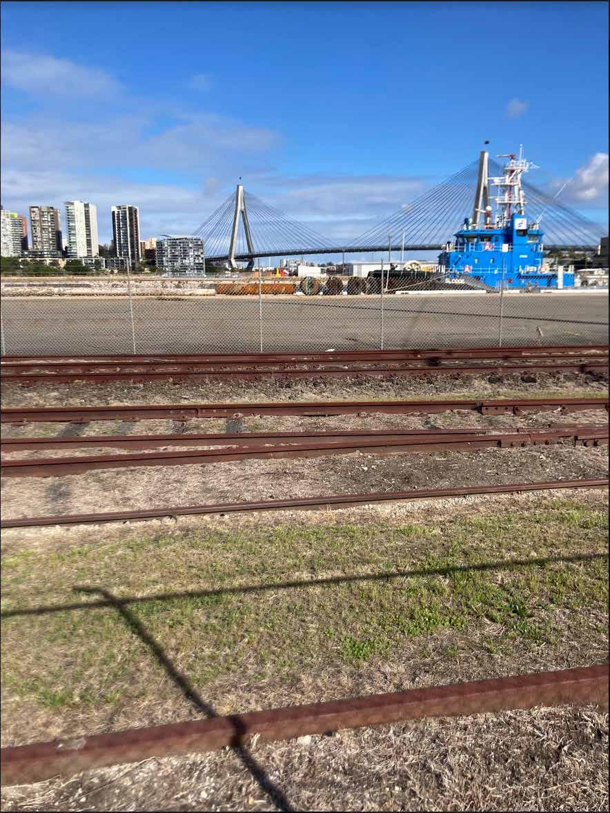
With an increase in construction in Sydney, due to an increasing population, the use for materials and waste has never been greater. It is widely thought that industrial zones are “low value” as it doesn’t provide as many jobs and the per capita outcome is low but this a myth, as explained by Jeremy Gill. Industries are enablers of the capital to be actually realised 1 . Therefore, in the future, industrial zones close to the city will need to be created or sustained to keep up with this increasing demand. The Bays with a redefinition of the industries, on site already present, it could be seen to succeed as a working waterfront so close to Sydney’s CBD in a future projection of a making city 2 . Sydney’s inner city is the destination for most travel, missing out on the beautiful harbour that once made Sydney become established in the first place. Therefore, another direction for the Bays is to create an area in which users have the opportunity to slow down in a fast-paced urban environment. This would be achieved on the site by enhancing the slow connectivity providing opportunities to enjoy Sydney’s natural harbour and in term creating somewhat of a 20-minute village as discussed in Melbourne 3 .
1 Gill, J 2021, ‘Safeguarding employment precincts is a vital part of planning for economic growth’ , NewPlanner, (p.18-19)
2 Grodach, C., Gibson, C., & O’Connor, J. (2019). Three ways to fix the problems caused by rezoning inner-city industrial land for mixed-use apartments. The Conversation., https://theconversation.com/three-ways-to-fix-the-problems-caused-by-rezoning-inner-city-industrial-land-formixed-use-apartments-121566
3 Victorian Government, 2017, 20-minute neighborhoods, https://www.planning.vic.gov.au/policy-and-strategy/planning-for-melbourne/plan-melbourne/20-minute-neighbourhoods.
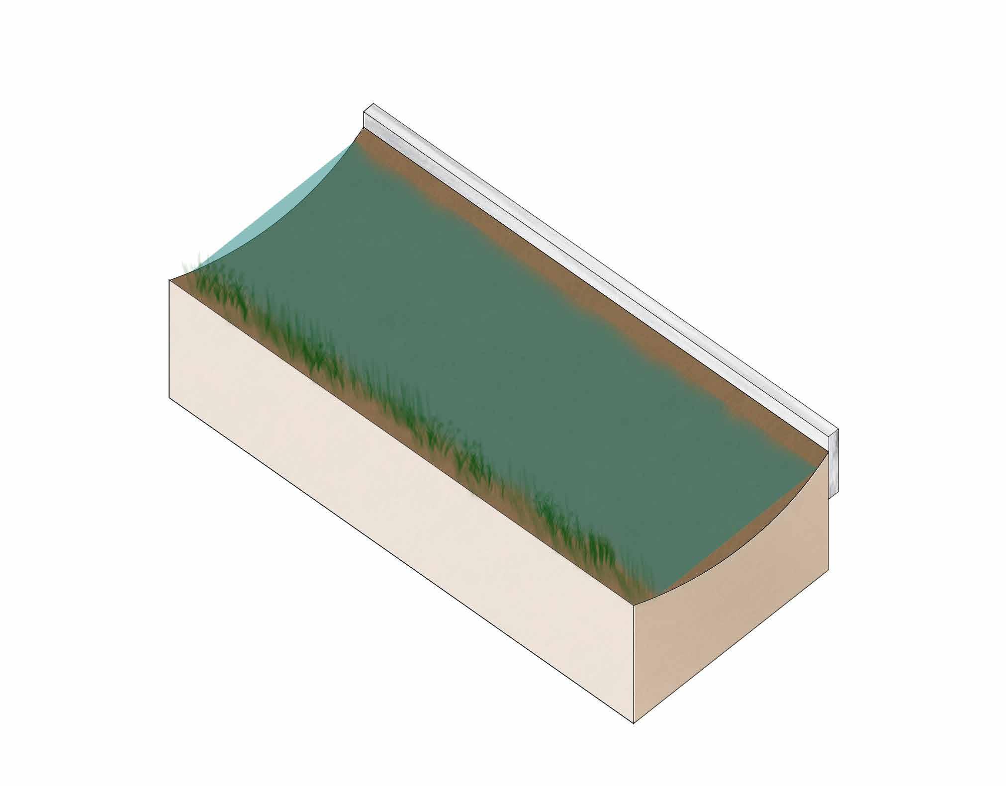
Developed by group: Andrew, Ankit, Hamzah, Leo & Michael
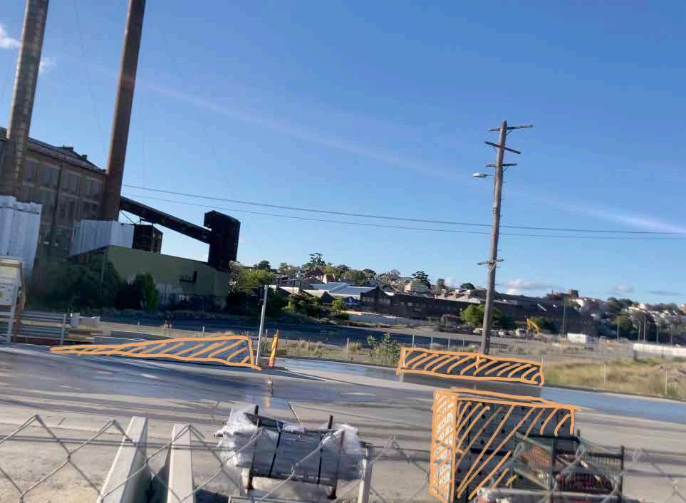
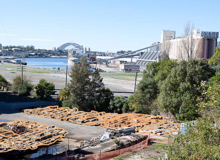
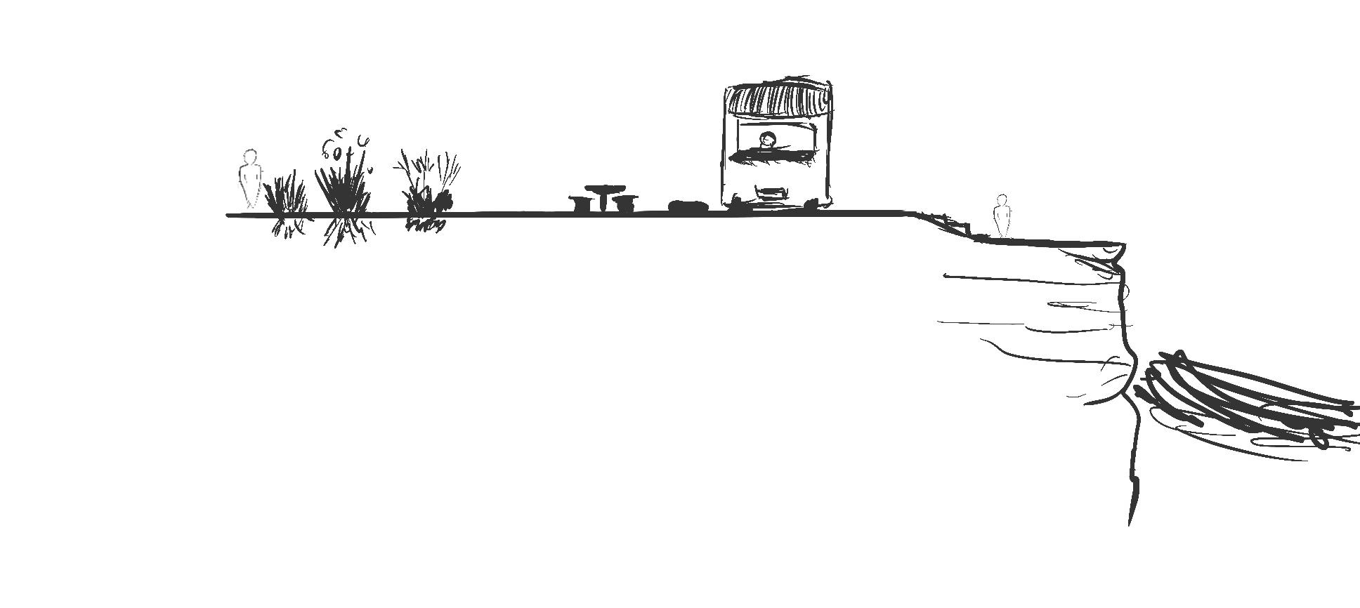
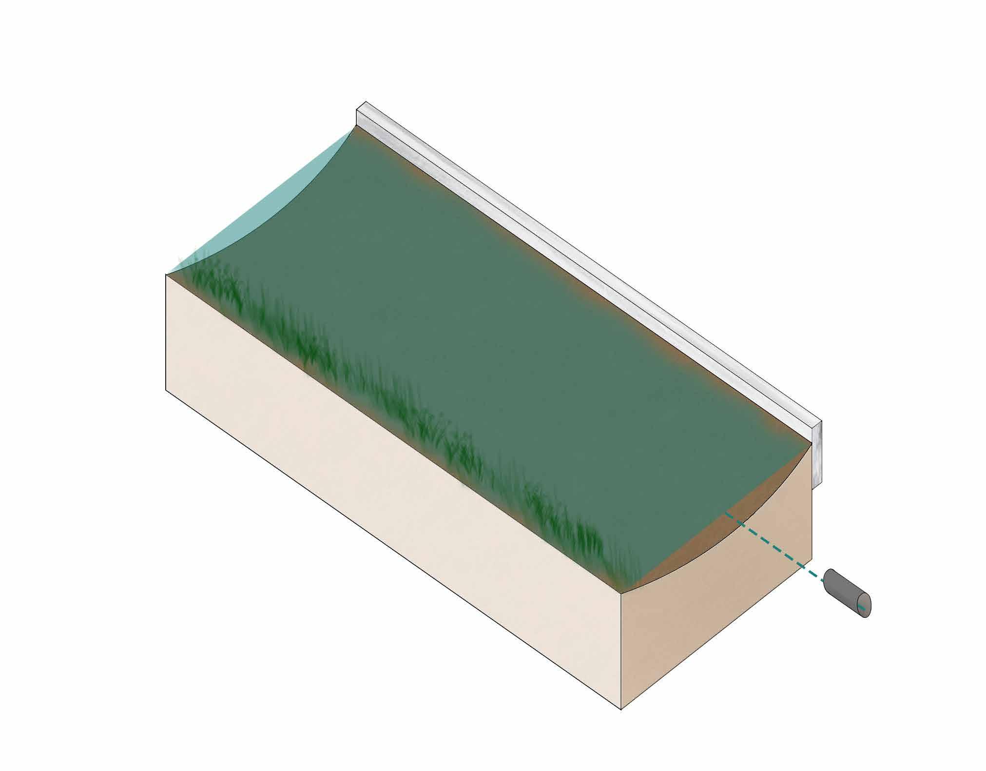
Products are recycled
Recycled waste turned into products at the Bays innovation hub
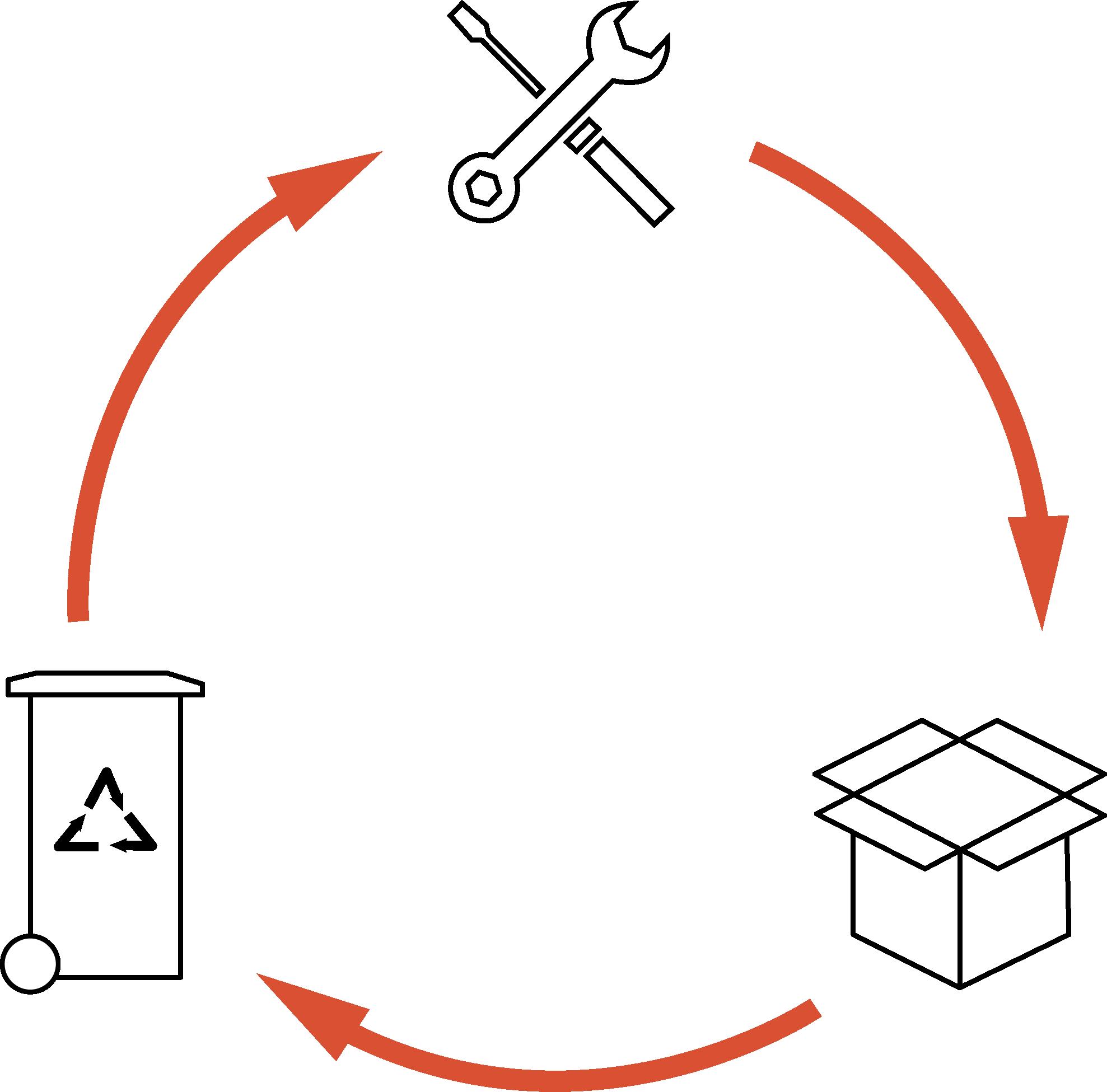
Developed by group: Andrew, Ankit, Hamzah, Leo & Michael
Products sold to consumers

is harvested from waste products at gasification power plant (transported via underground conveyor belt)
How can UI/UX design characteristics be used as a driver to revitalise historical connections at the Bays and provide equitable outcomes?
The term landscape in its traditional form is directly related towards our physical environment. Though in the contemporary world, this term should not have a one-dimensional application, simply defining what is visible. Landscape is also observable through the vast digital world, an anthropological dimension with endless possibilities, meaning “your digital life is a real life” (Wired 2014, p. 6). When we begin to dissect this world, it is apparent how fundamental UI (User Interface)/UX (User Experience) design is in providing a coherent user journey (Coyne et al. 2013). By exploring the design matrix of these journeys and understanding optimal user experiences, we can transpose this idea and similarly apply them to the physical landscape. Nielsen claims that “design should speak the users’ language”, stressing on the importance of efficiency in a user’s journey from A to B (Shelley 2015).
We can apply such concepts directly to The Bays, clearing up an inherently convoluted site and simplifying the experience of the user within the landscape. The implementation of this will supplement open park spaces, with a “fusion of elements and locations… (elevating) viewer participation and experience” (Deitsch 2009, p. 8). The process of simplifying the denseness and historical richness of The Bays comes with its own complexities. “Simplicity is a virtue in design” (Shelley 2015, p. 440), and the ability to reinterpret existing landscape elements and enhance them in ways that are easily digestible for users, will declutter the landscape.
With the construction of The Bays metro station, there is a wider range of demographics being introduced to the region, calling for the need of a more cohesive and tightknit design solution. Coyne et al. explores the need for “balancing intuitive thinking and analytic thinking” (Coyne et al. 2013, p. 23) in UI/UX design. In subverting this idea, the optimal design solution for The Bays should have a balance of conceptual depth and historical analytics to successfully achieve a meaningful equitable outcome.The location of site is one that despite impractical and cluttered, has immense potential and will hold an important position along Sydney’s harbour edge. Naturally, this alters site usages from previously being a predominantly locals’ accessed site, to one that will need to be welcoming of a larger usage base. As once said by Ludwig Mies van der Rohe “less is more” (Design Curial 2015), and finding a way to tie the sophisticated past of The Bays will reach a larger audience. By approaching The Bays site with UI/UX design ethos as a core driver, the oncoming influx of users of a diverse demographic range can be more appropriately designed towards, allowing for a reasonable and fair solution.
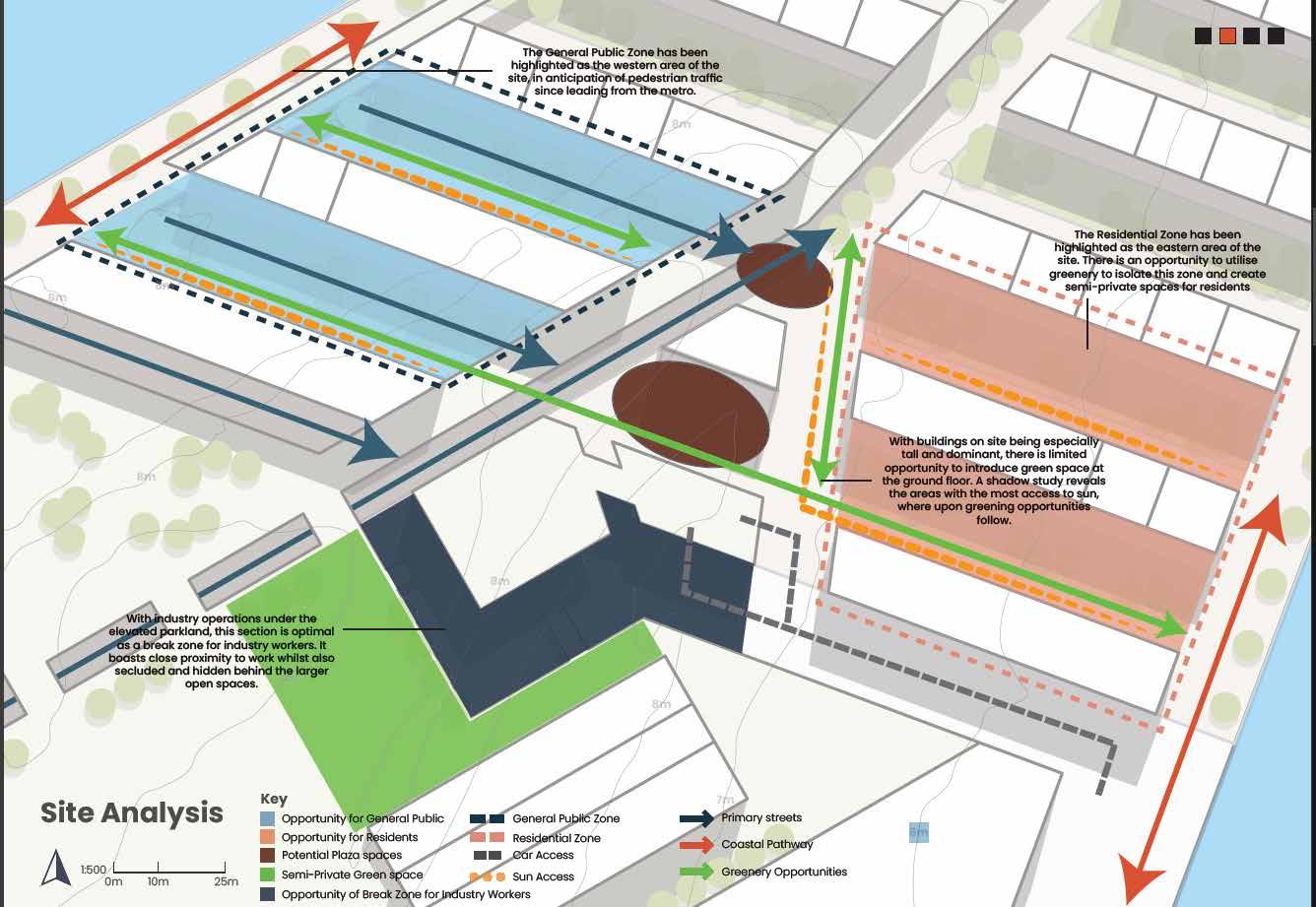
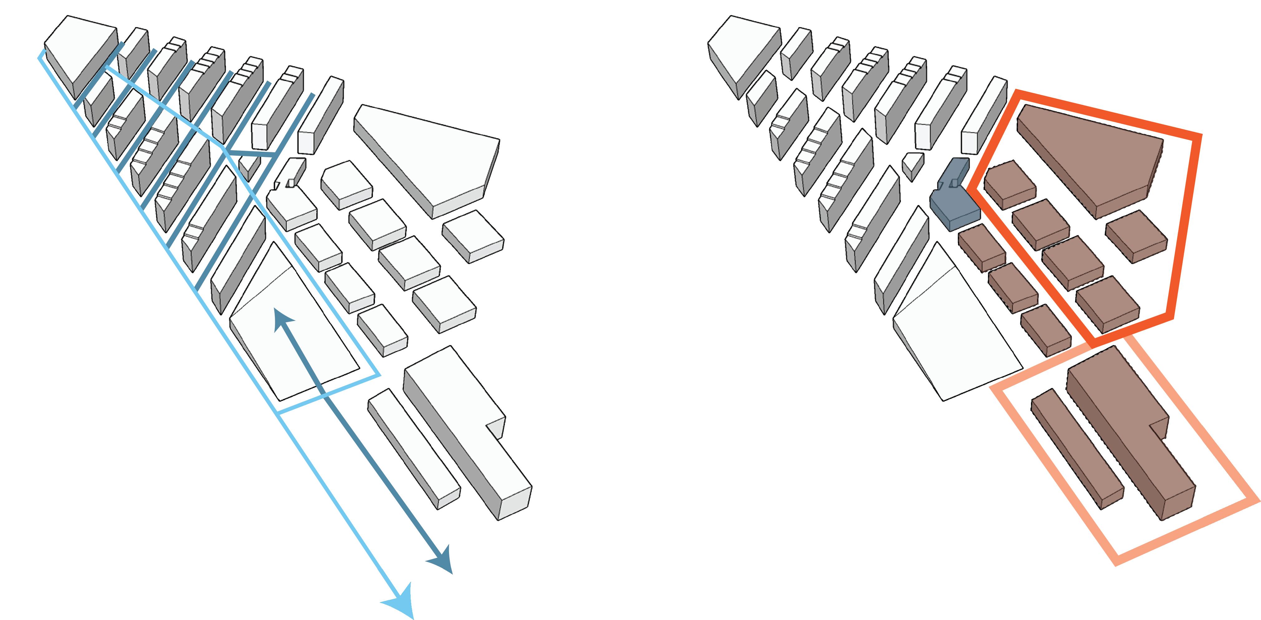
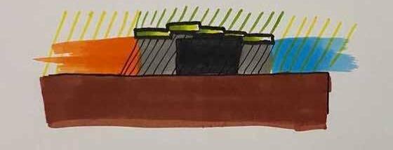
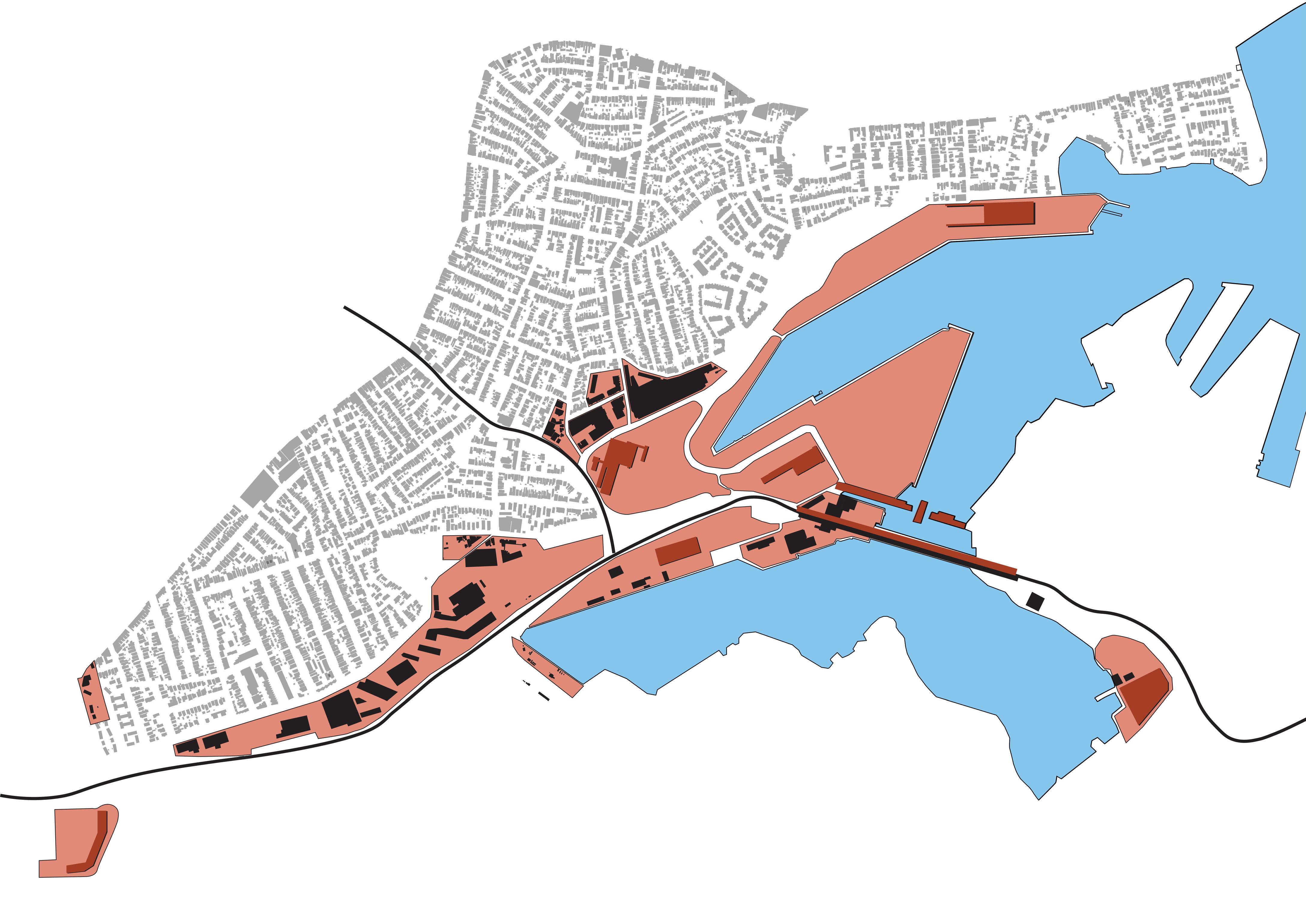
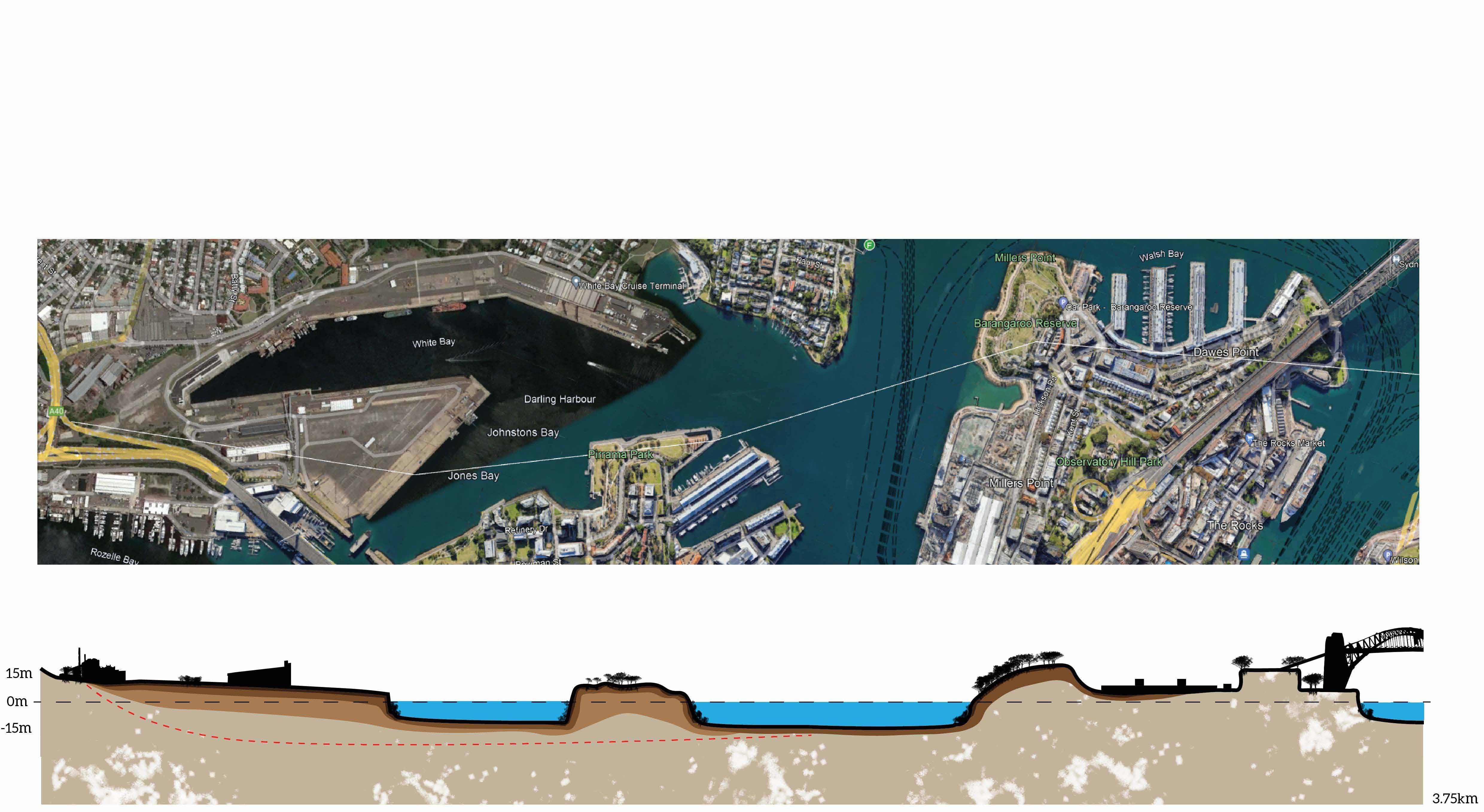
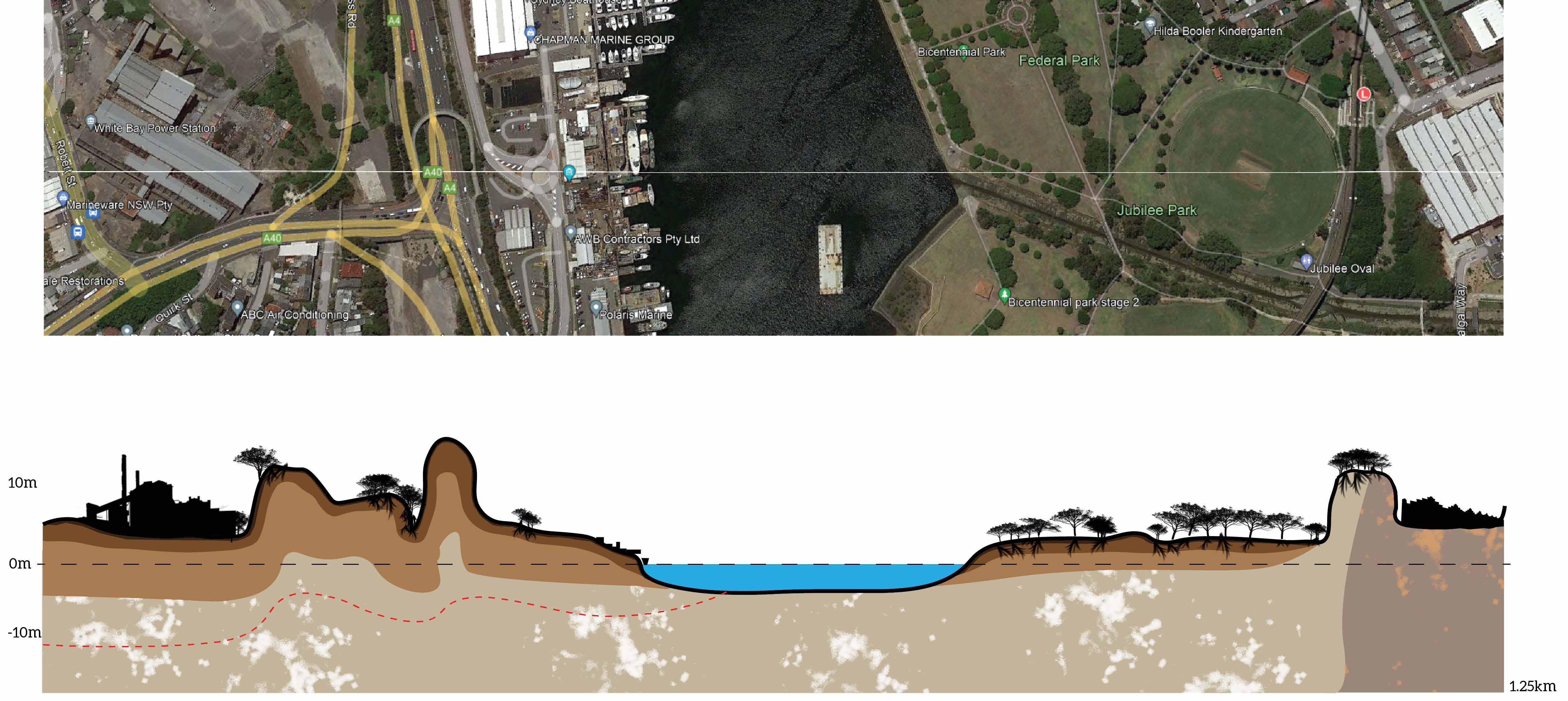
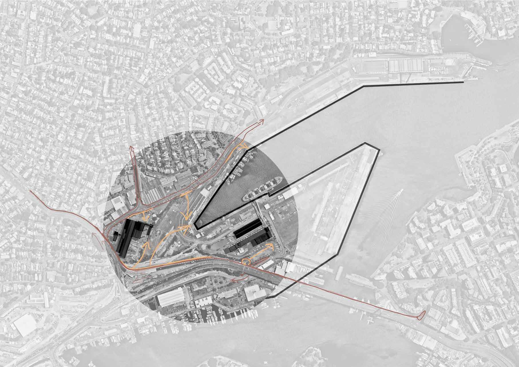
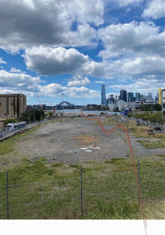
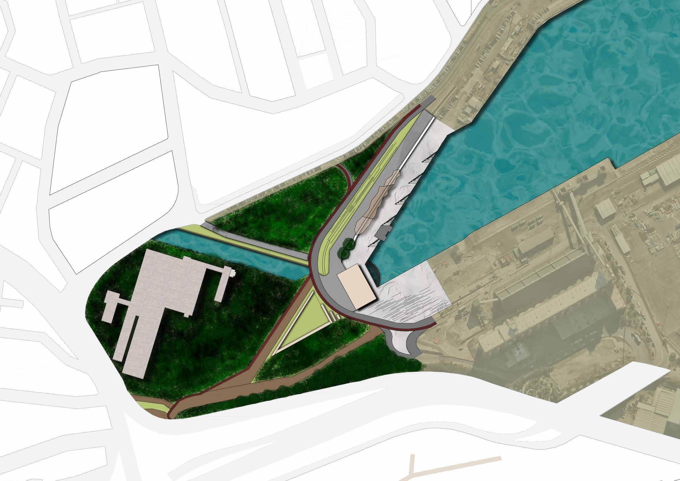
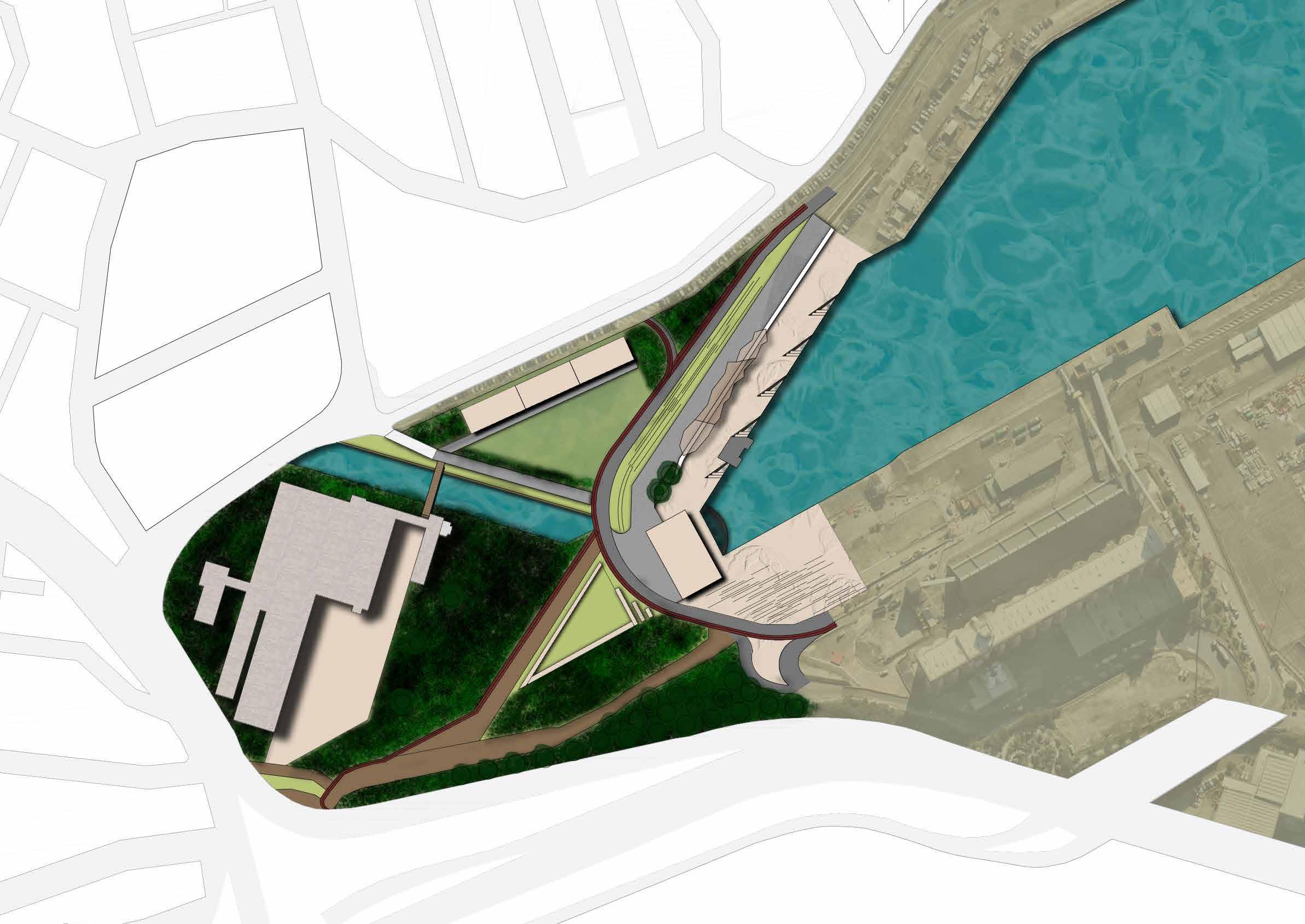
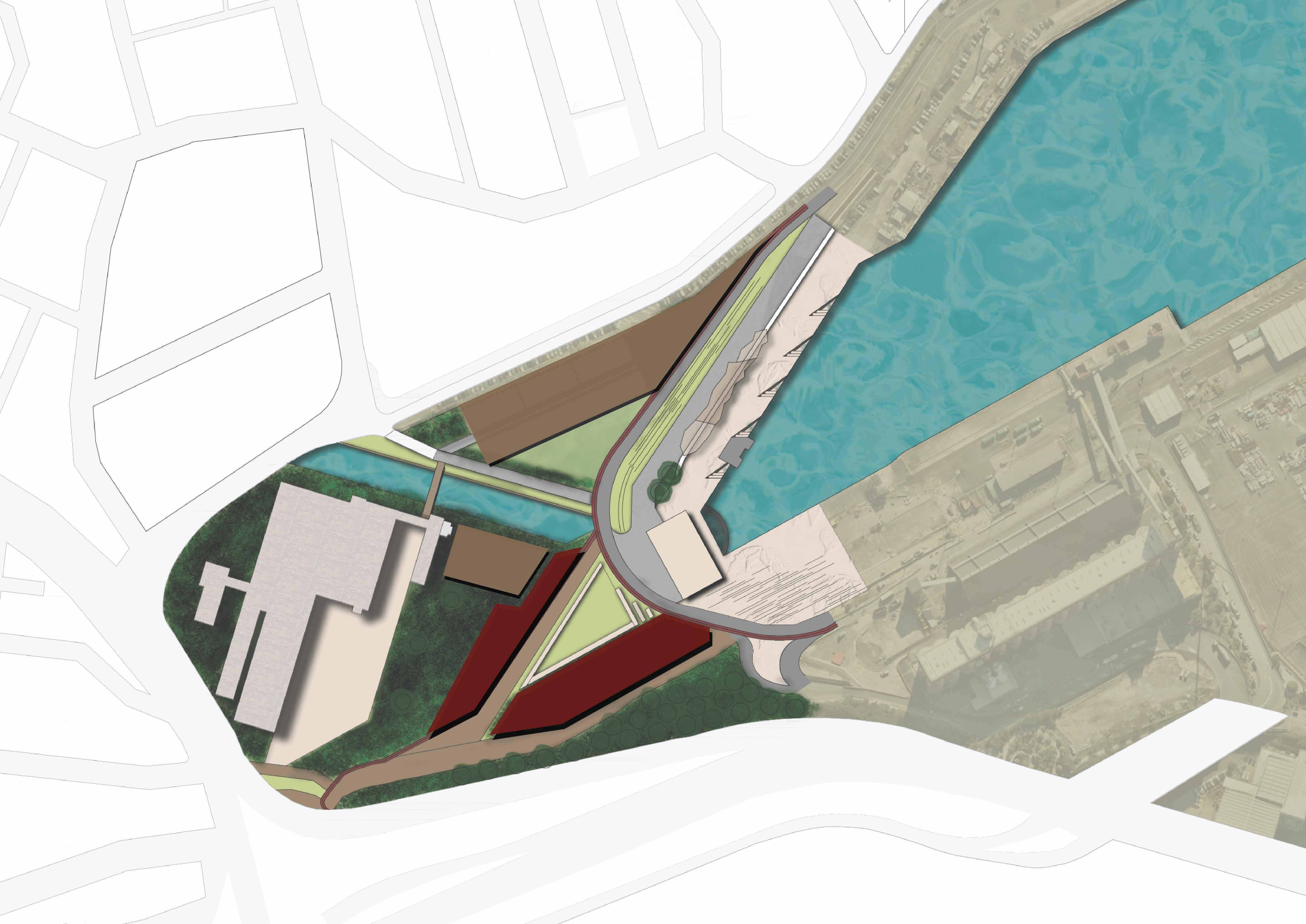
Site analysis consisted of identifying opportunities and constraints to engage with on the group structure plan. Working with tall 10-12 storey buildings, it was a challenge to manage shade on site and hence public space.
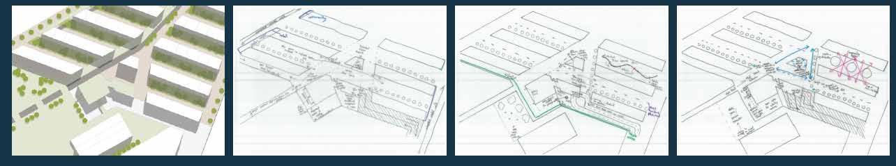
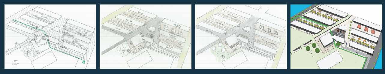
Influenced by providing space for all stakeholders, this design process was informed by needing to provide for a large range of demographics. I found it important to be able to zone out sections and map out varying user journeys throughout this process.
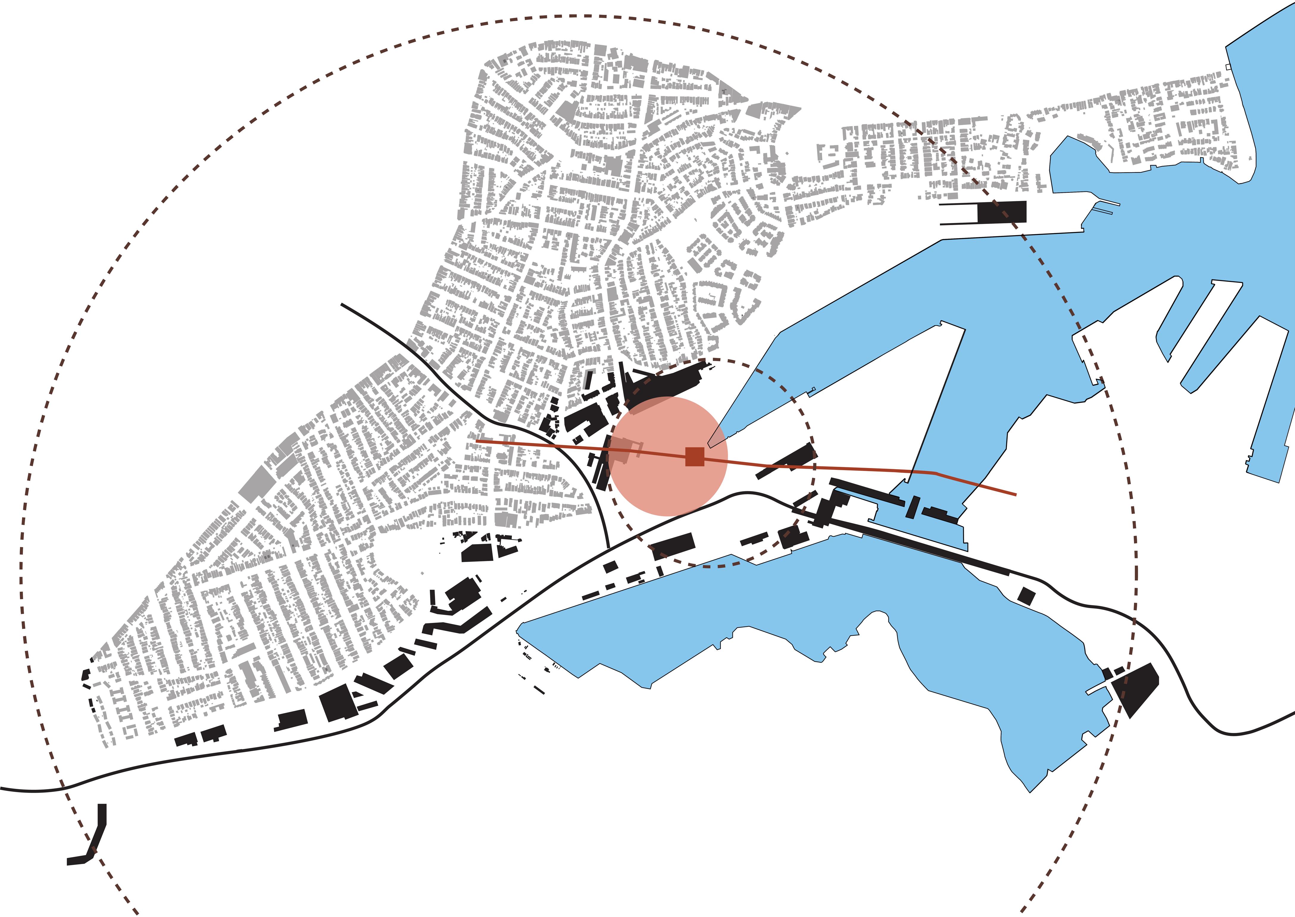
Since switching the location of my site to the metro entry/exit region after T2 A1, I was able to focus on creating powerful initial user experiences at the Bays, giving me the ability to enhance the largest variety of peoples’ understanding of the region.
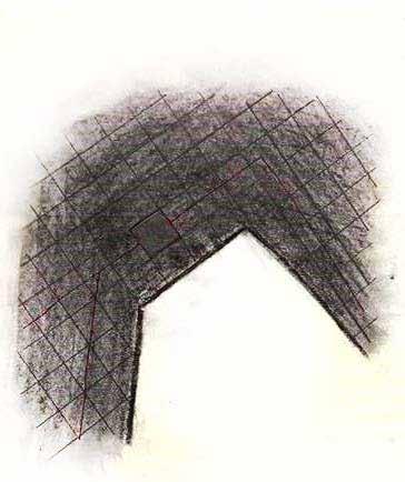
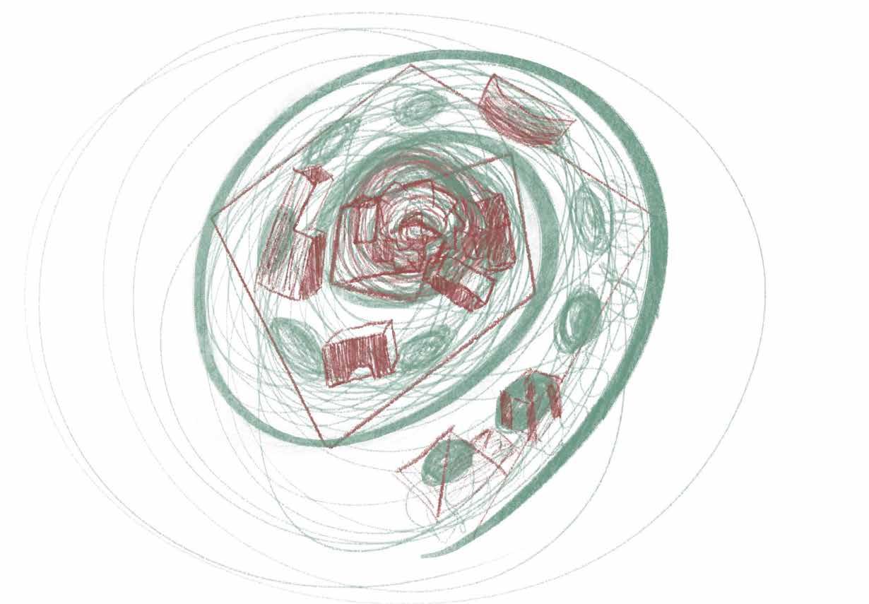
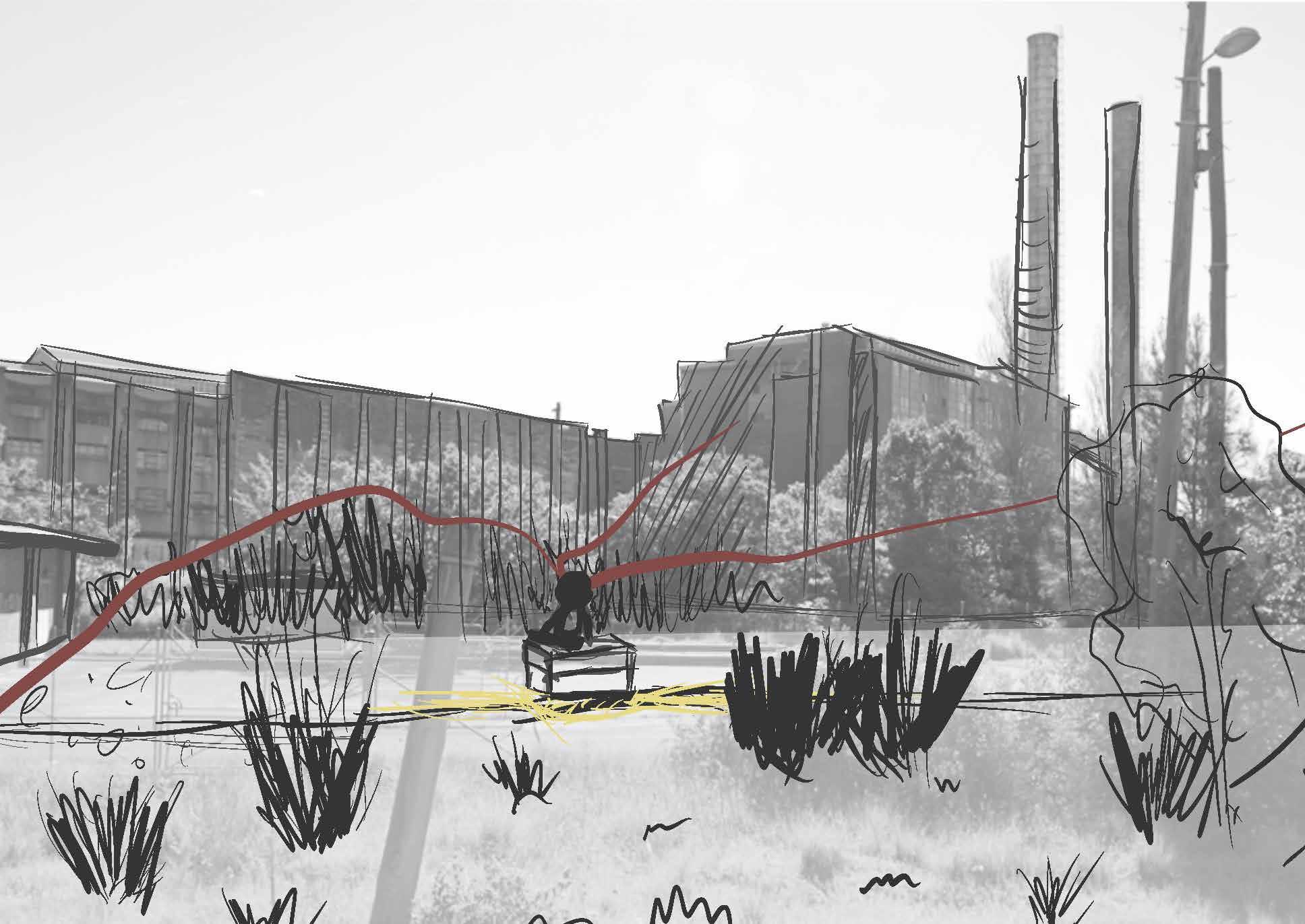
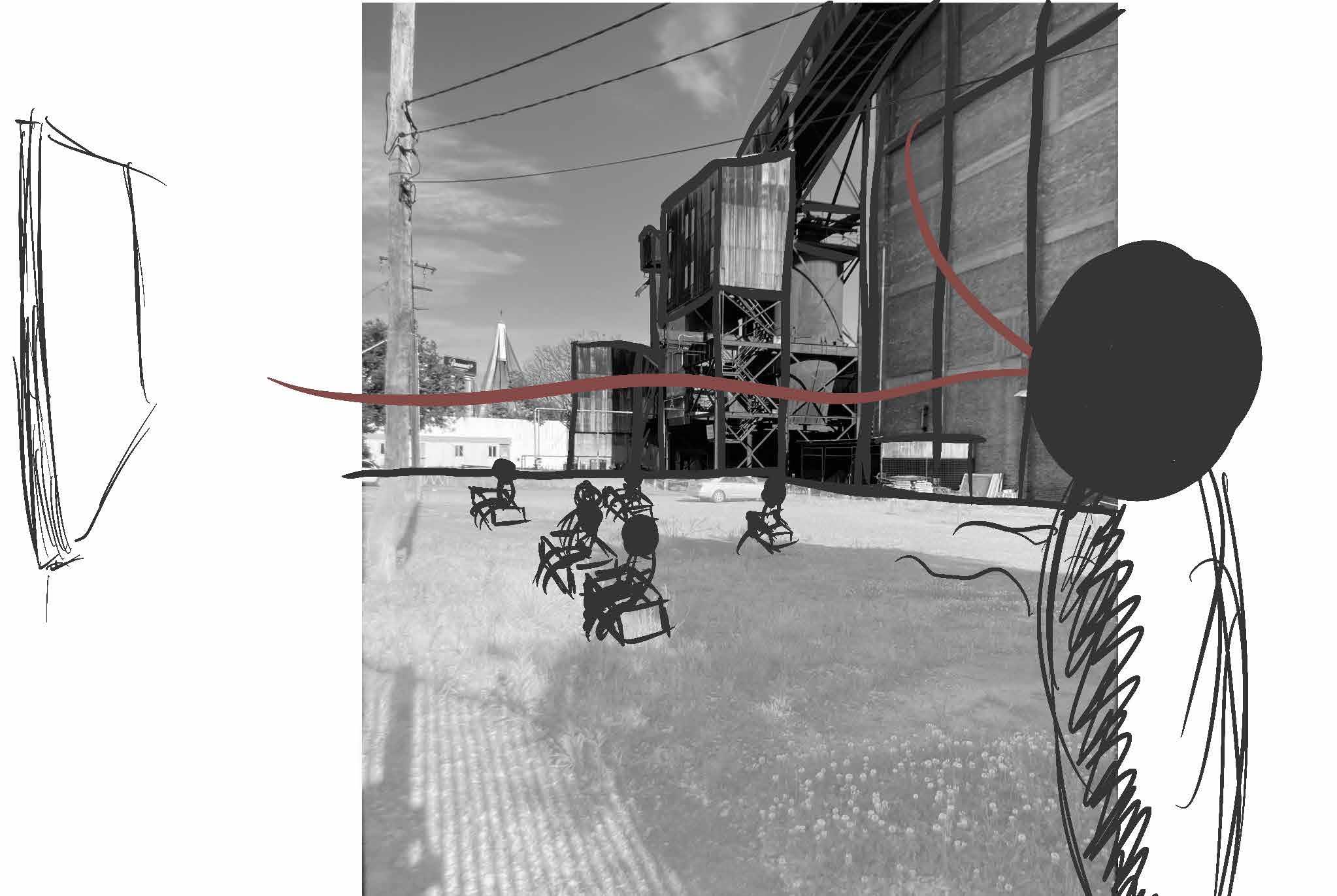
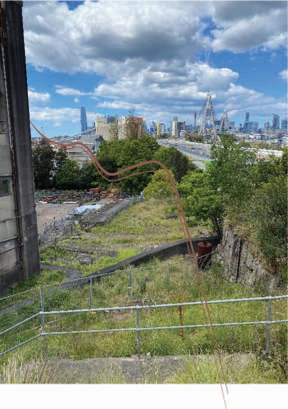
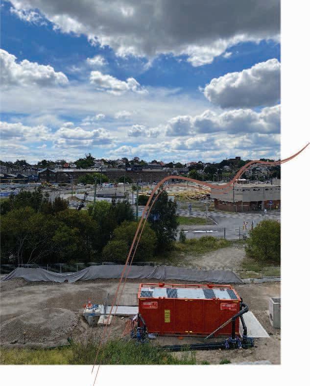
This early conceptual drawings were drawn from my inspiration of abstract art, including people like Joanne Greenbaum and James Corner. I sought to cocneptualise how shade structures could be utilised to differentiate zones
Adopting a James Corner styled drawing allowed me to investigate material compositions of structures as well as directionality of built components.
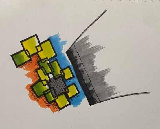
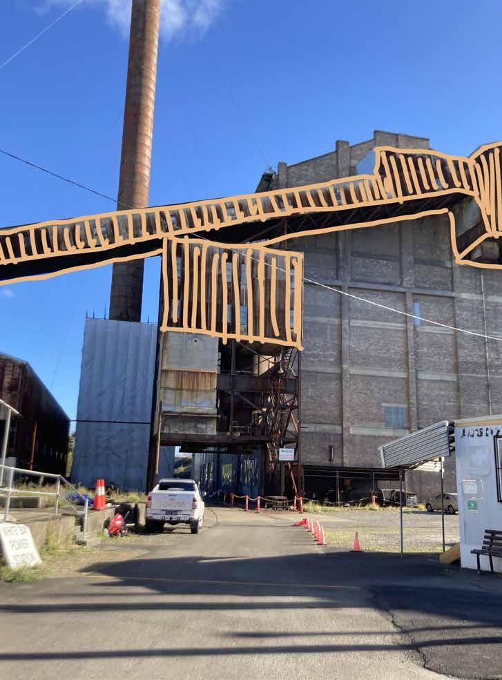
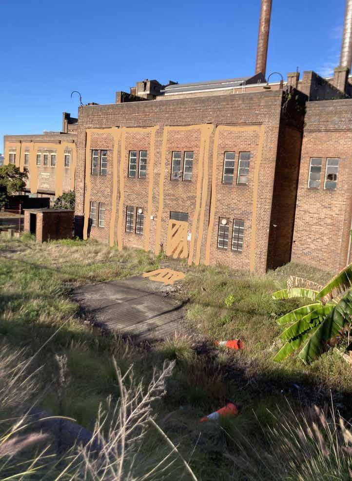
This drawing involved a focussed use of iconography to portray the potential development of White Bay Power Station in the contemporary future.
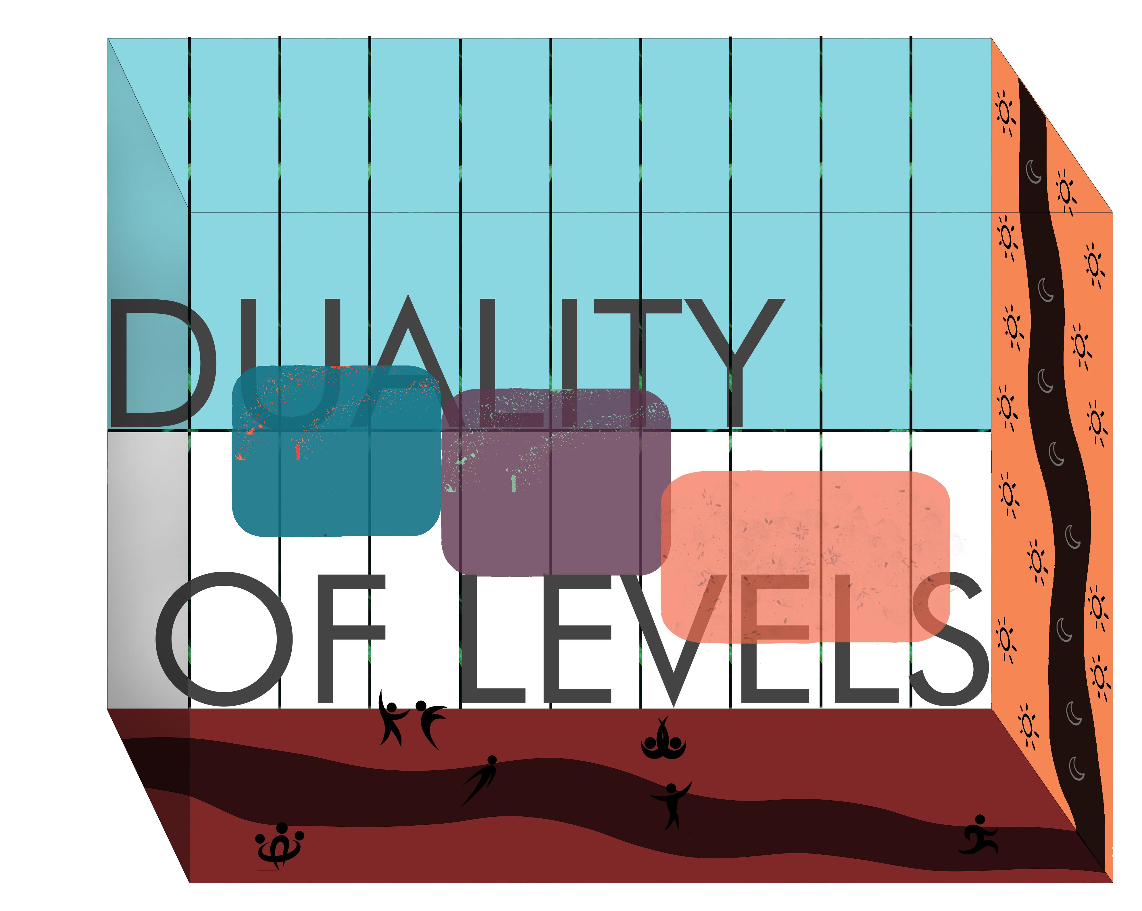
I looked at exploring shade structures and the ability for iconography to be able to portray information. This drawing sought to identify a duality of levels (ground level and shade structures)
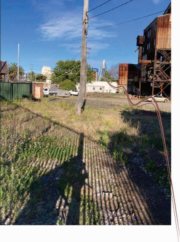
Looking at how industrial processes occur on site allowed me to then formulate initial ideas in my head.
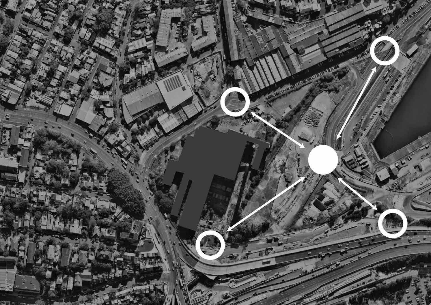
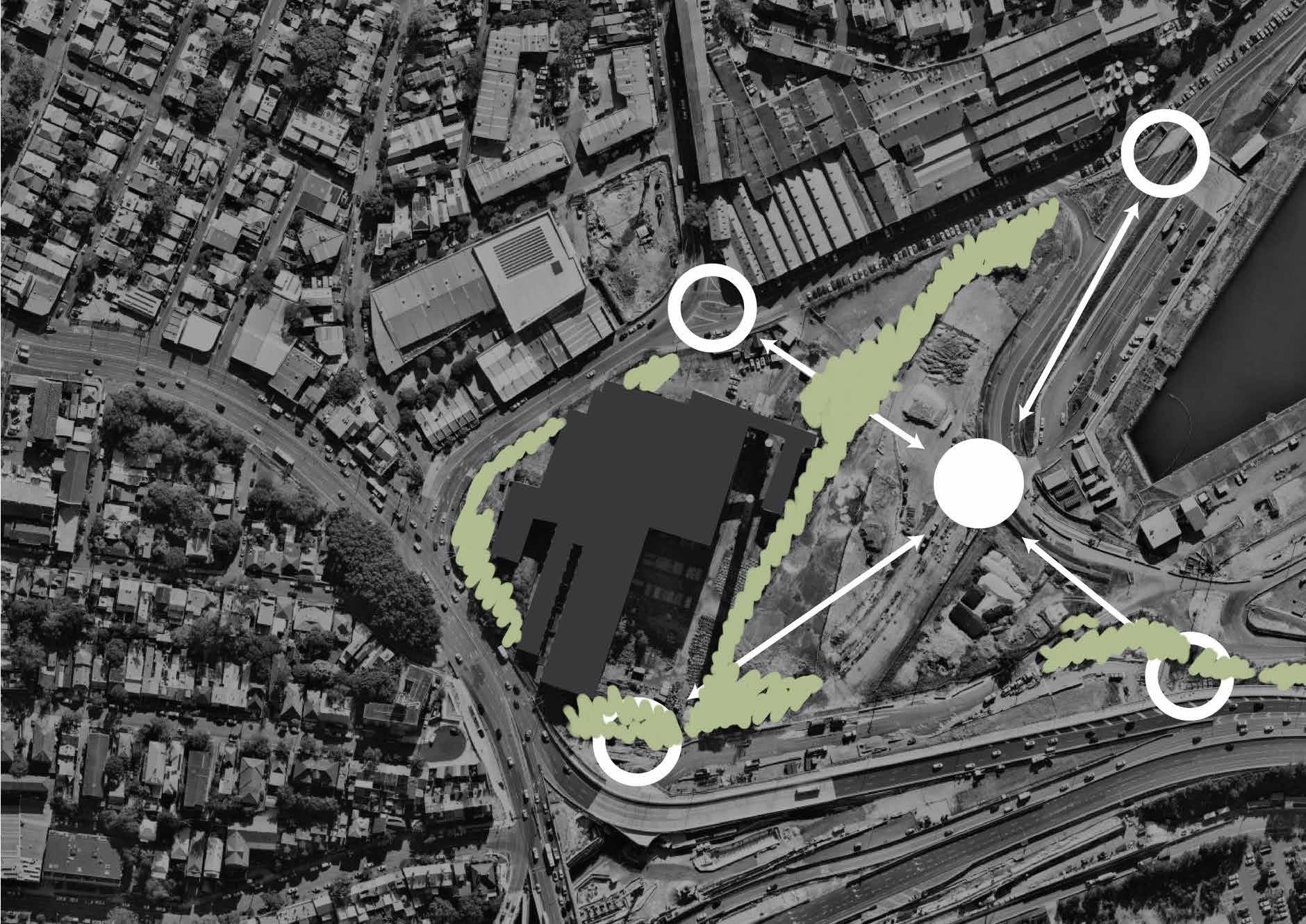
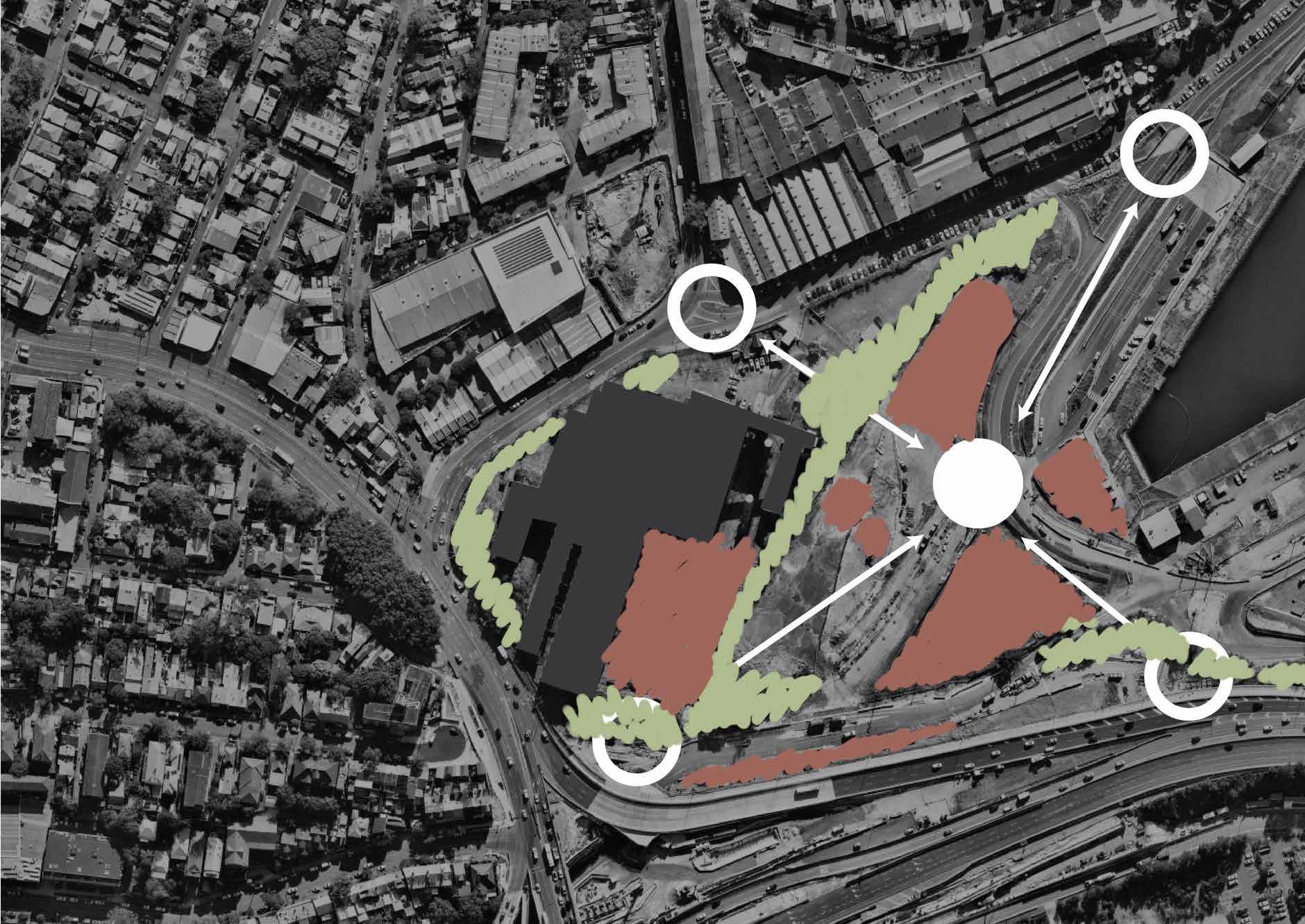
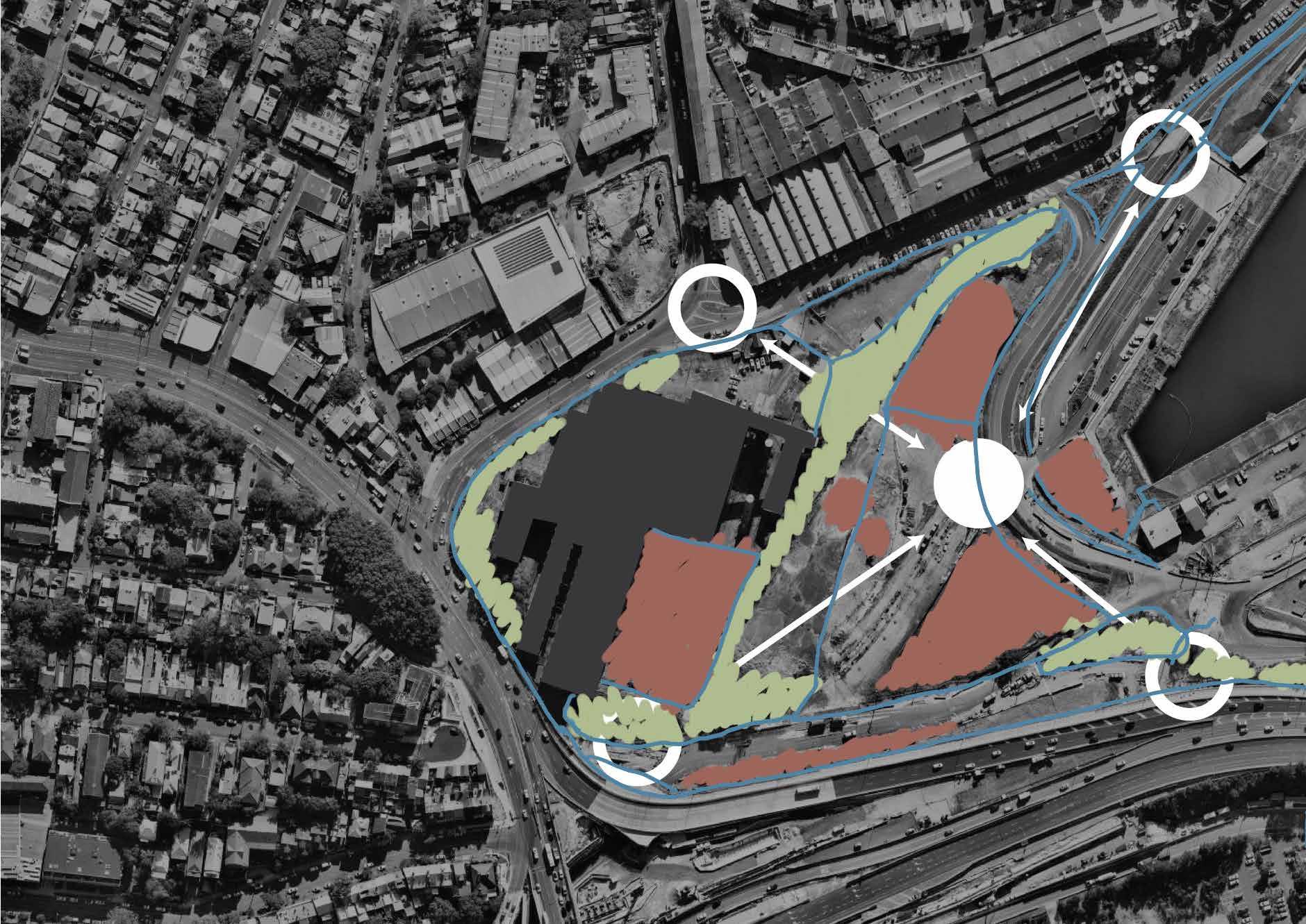
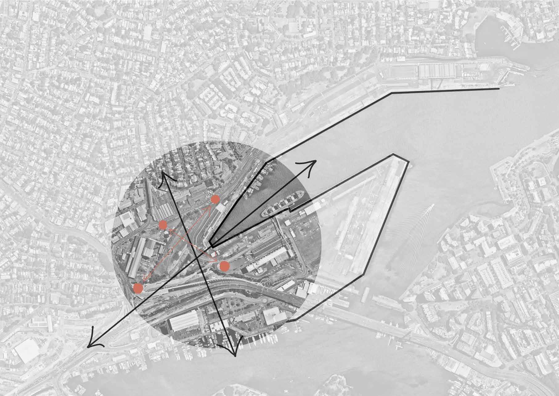
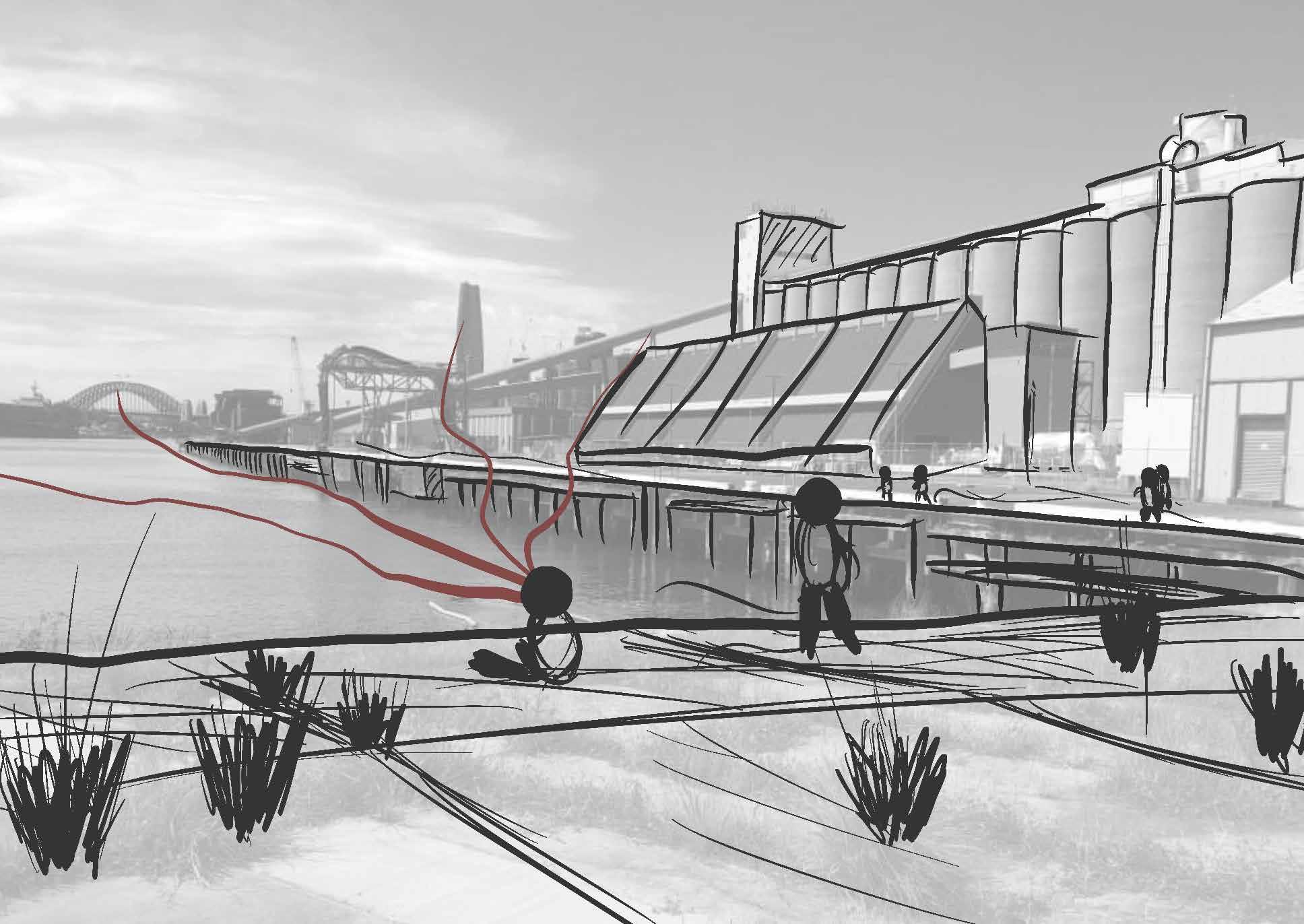
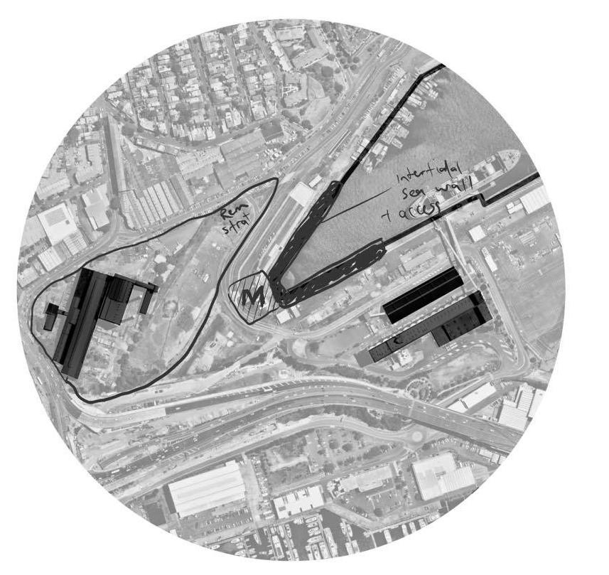
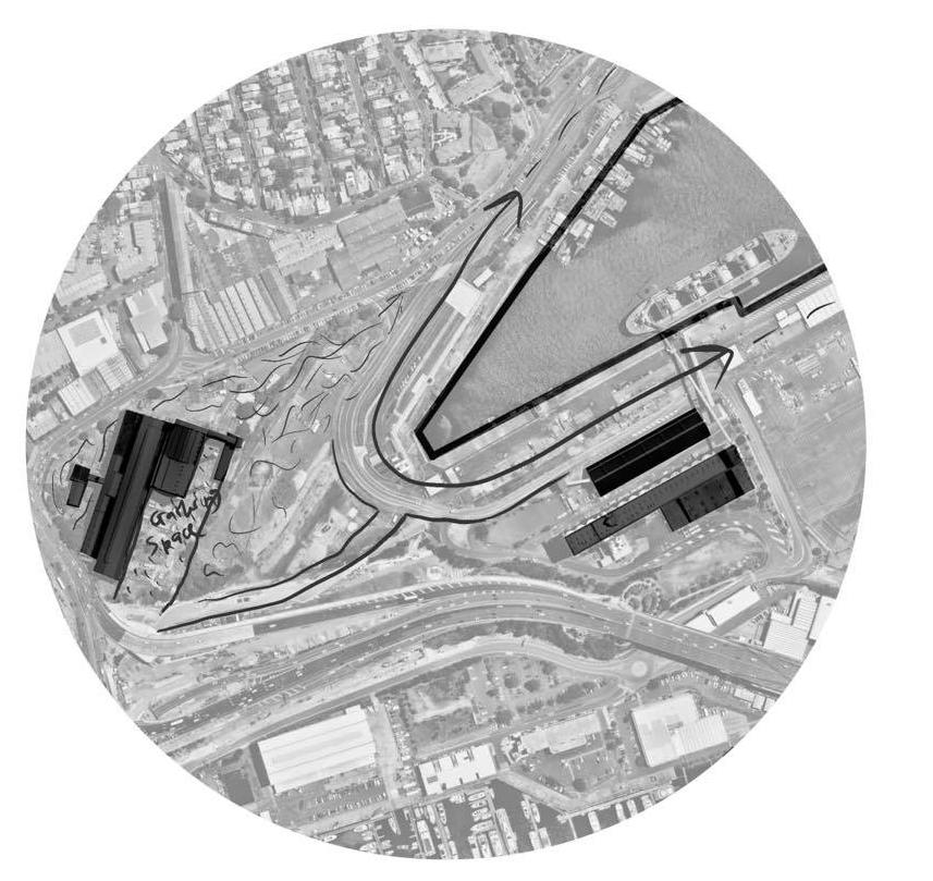
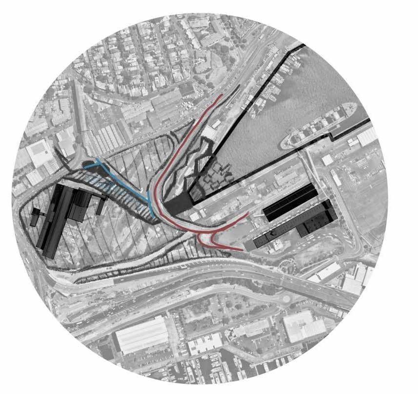
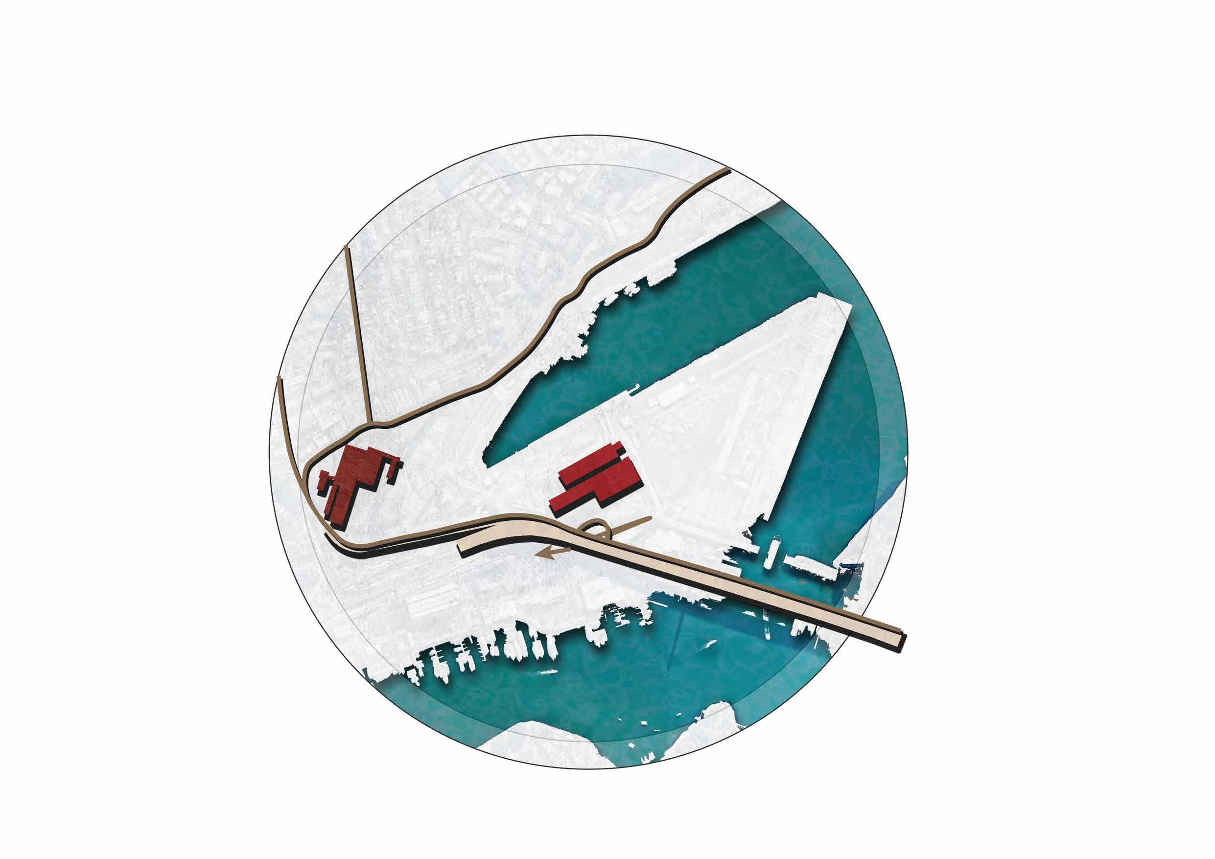
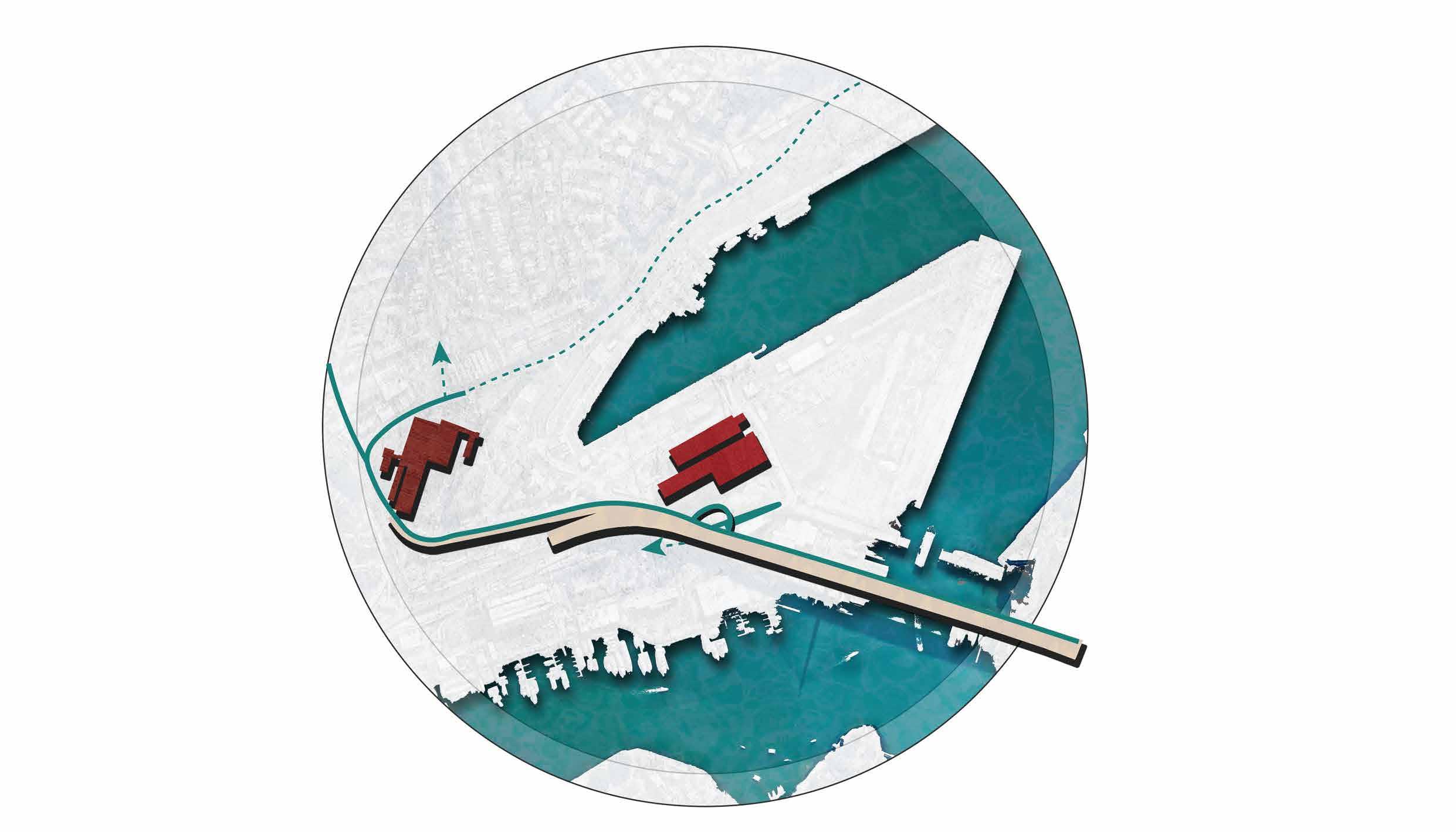
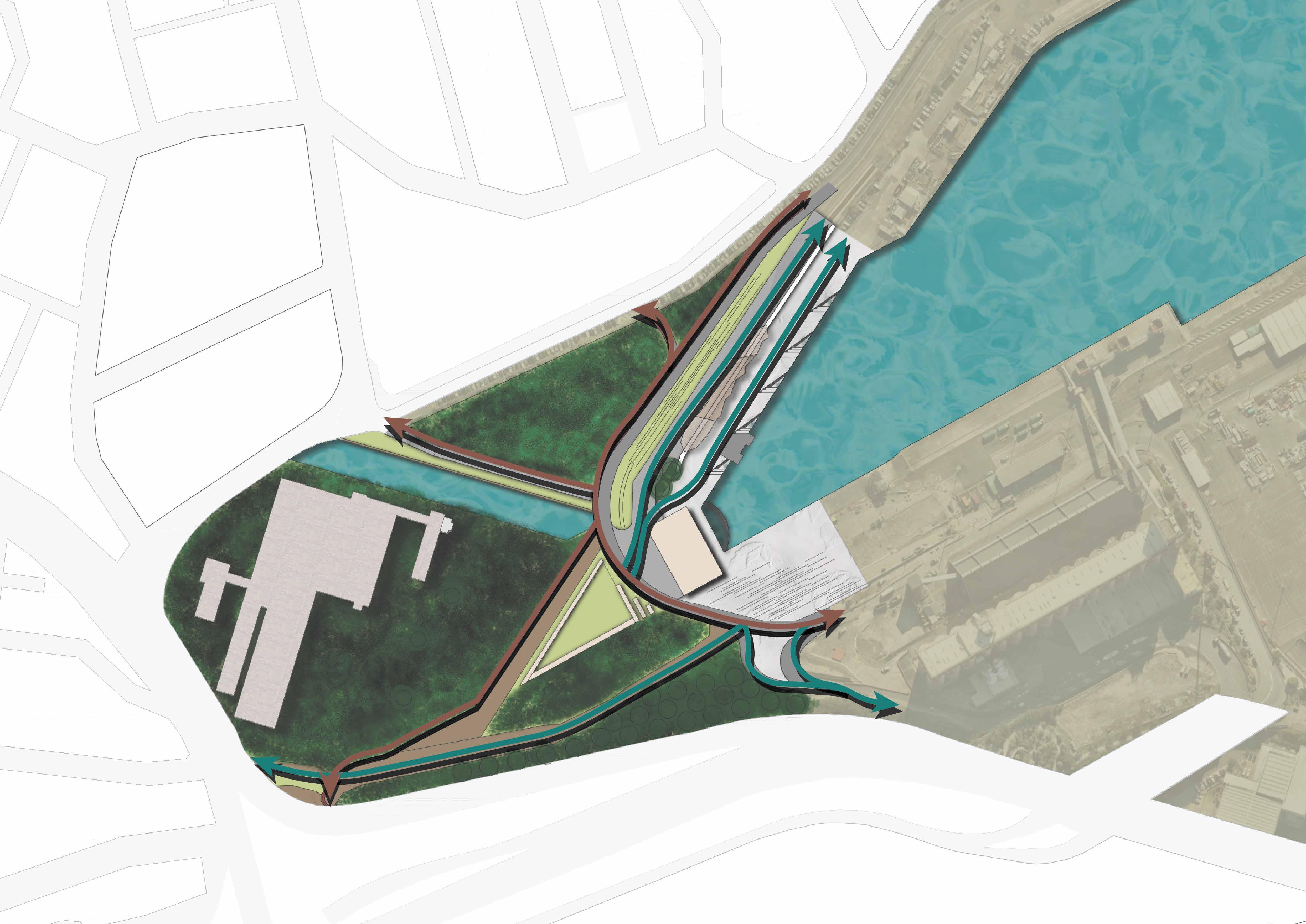
Site Lines were indicative of how significant structures were connected.
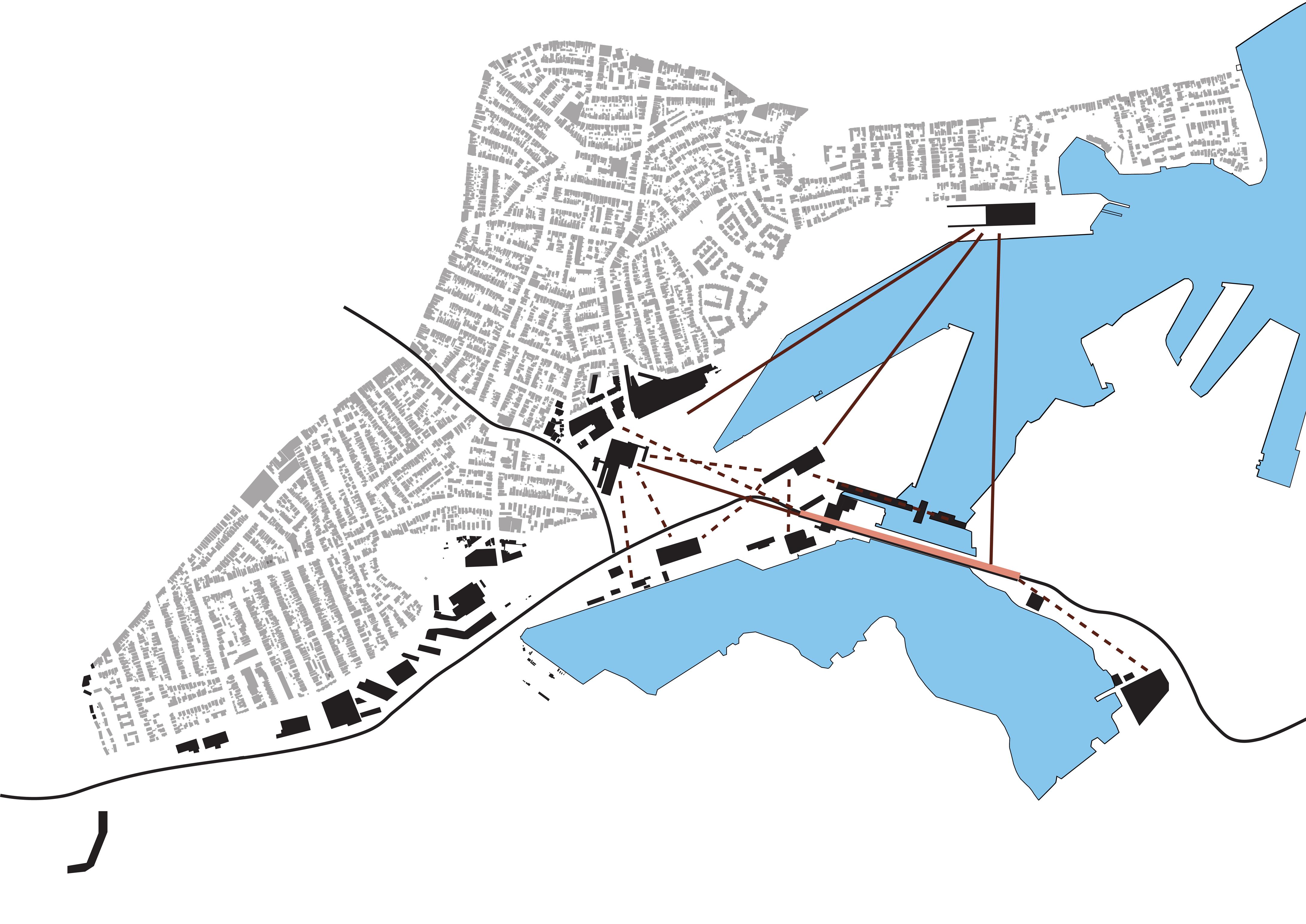
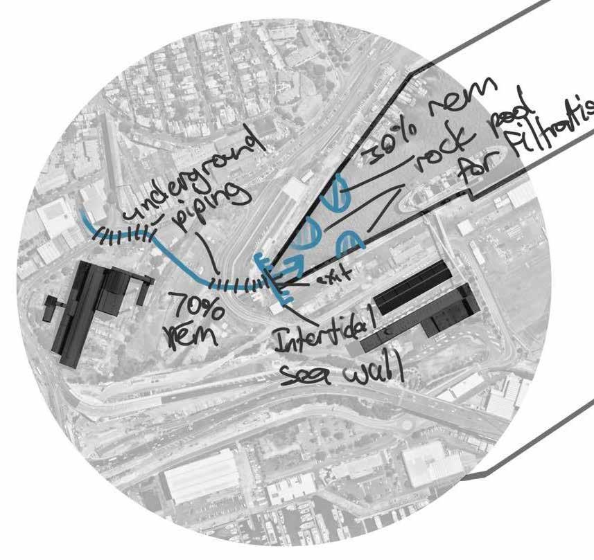
Utilising dotted circular linework helped to identify the levels of reach the metro could have upon the region. The smaller dotted circle refers to visual reach of the shade structure whilst the larger dotted circle highlights improved accessibility.
Being part of a startup wherein I held the role of UI/ UX designer, I began to explore design principles to familiarise myself with concepts. This for me came in the form of working phone application design using figma.
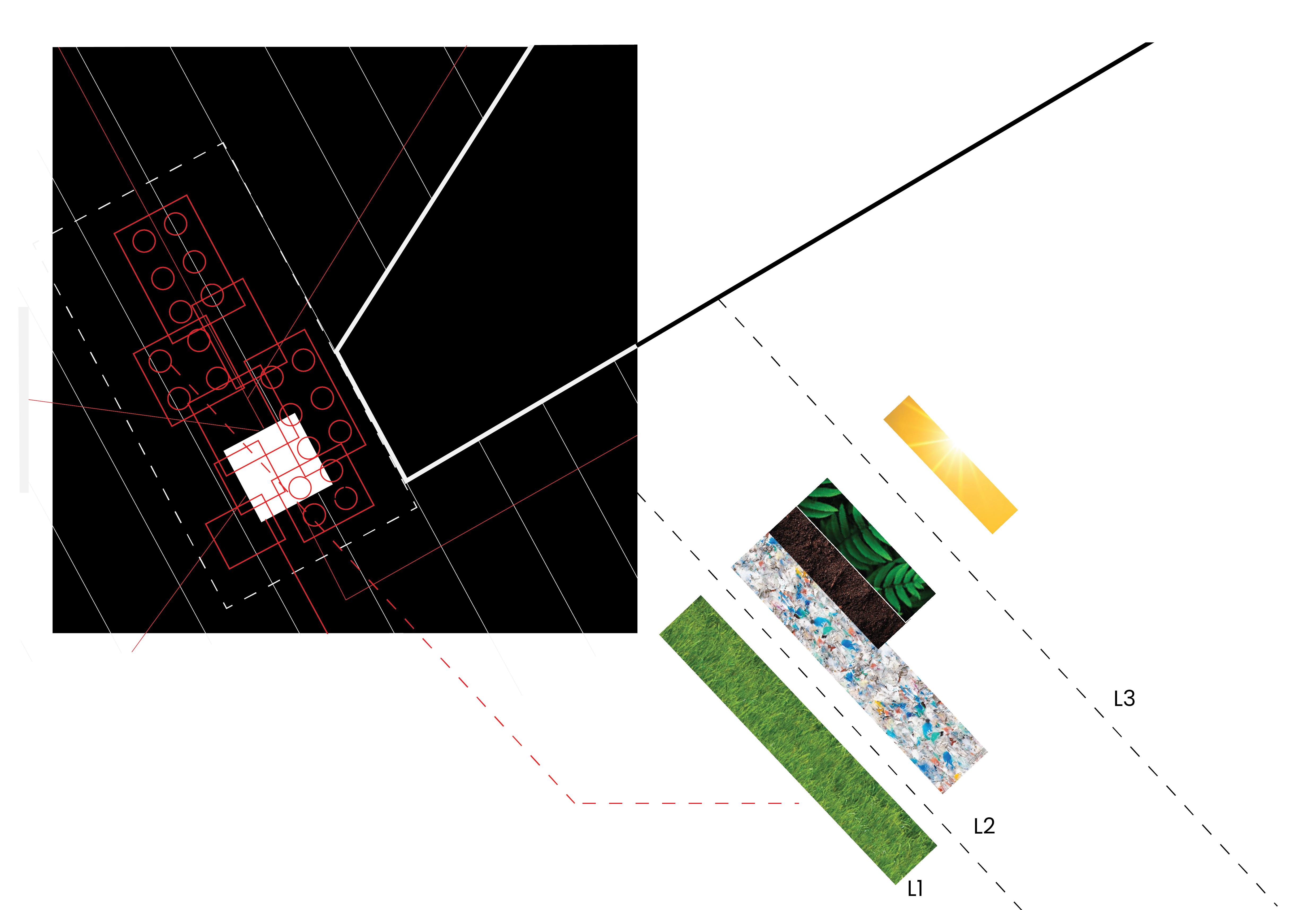
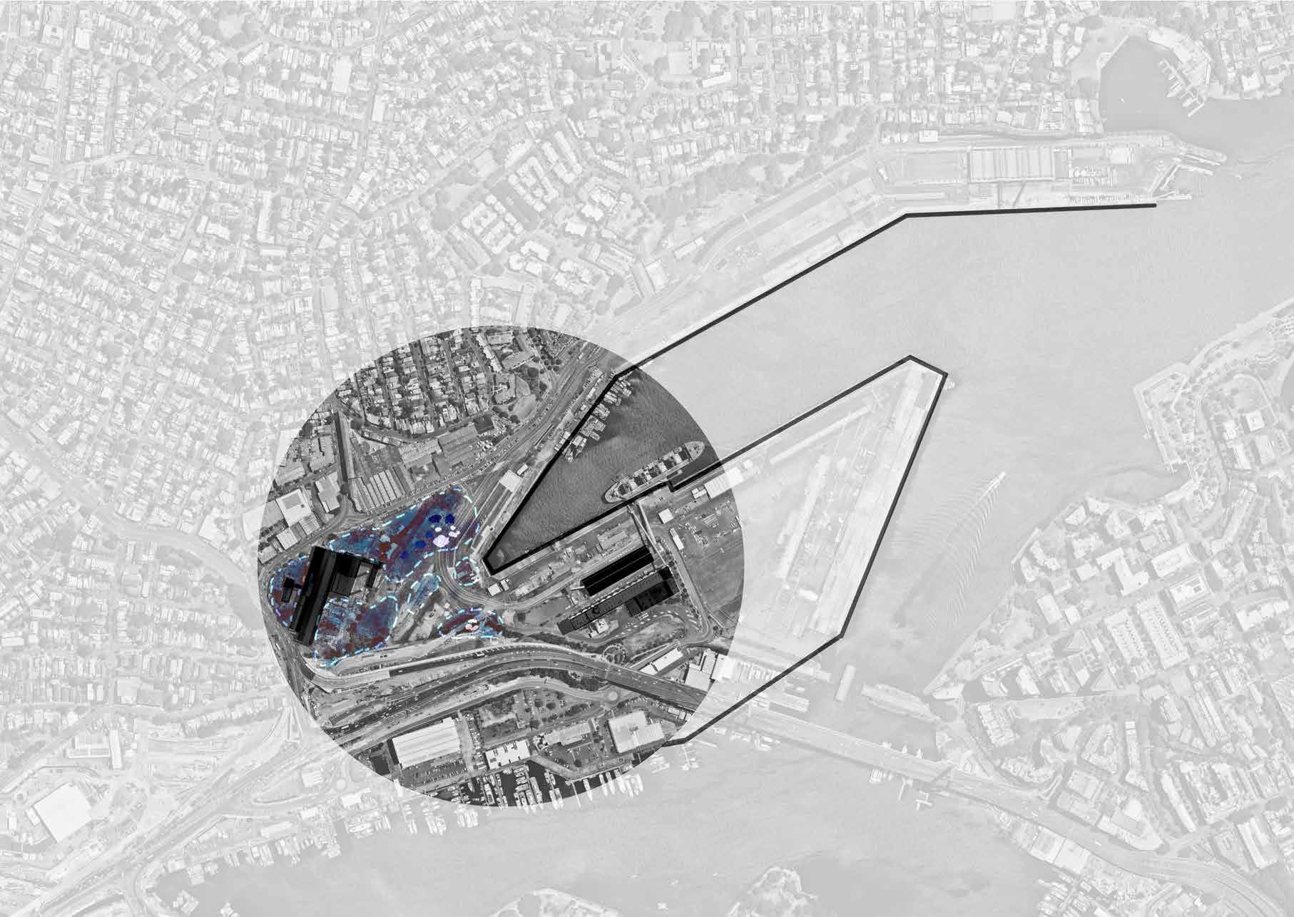
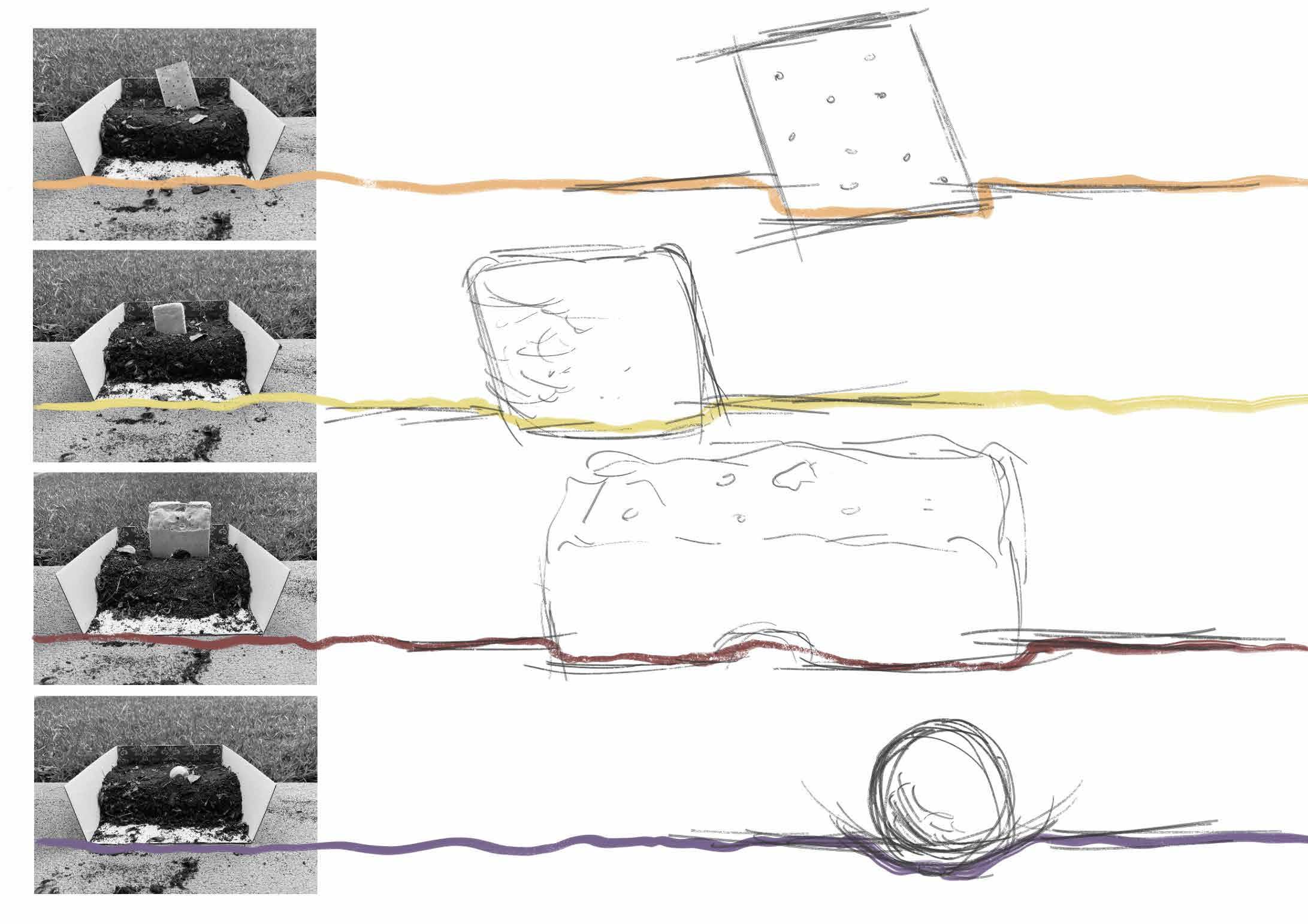
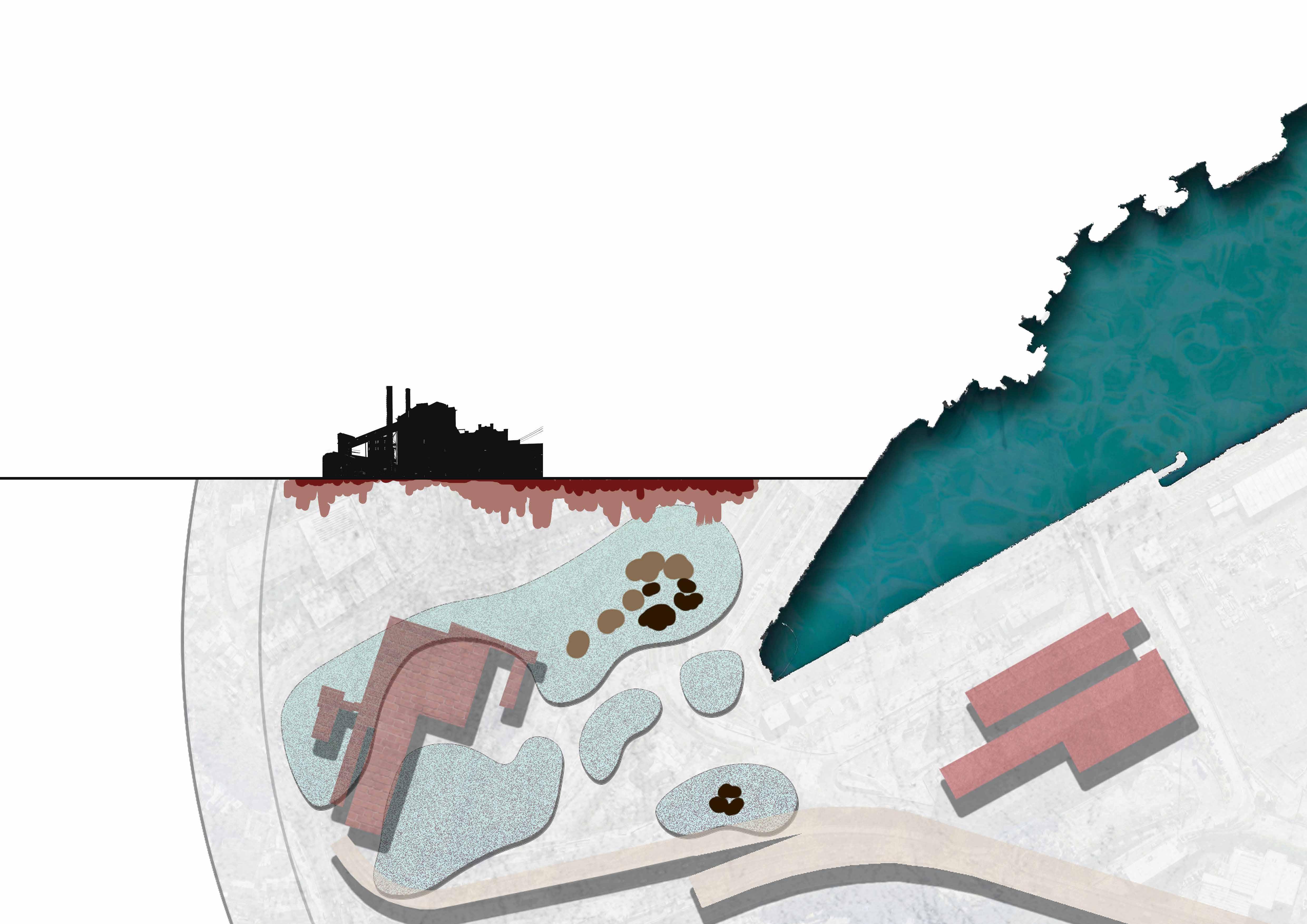
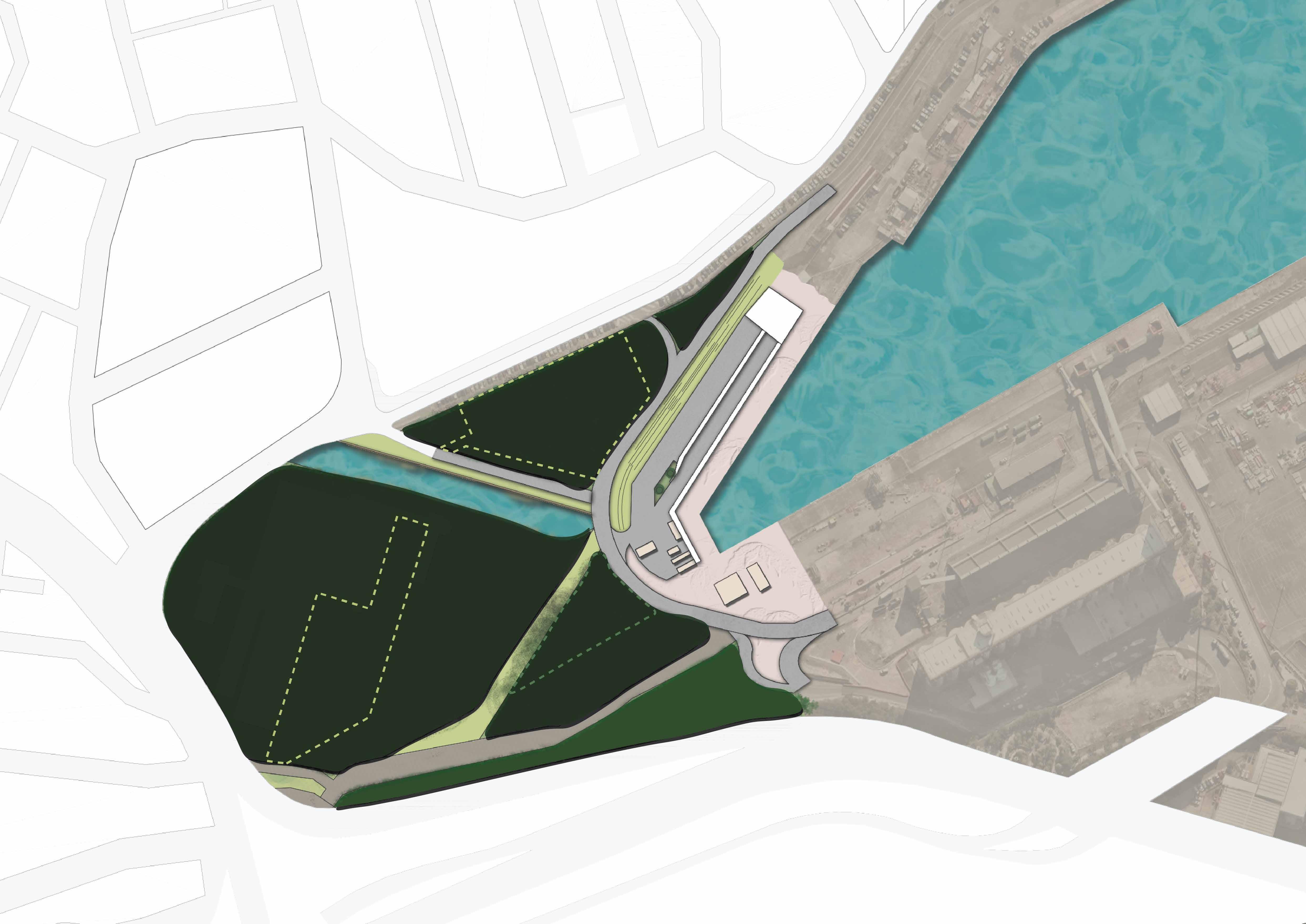
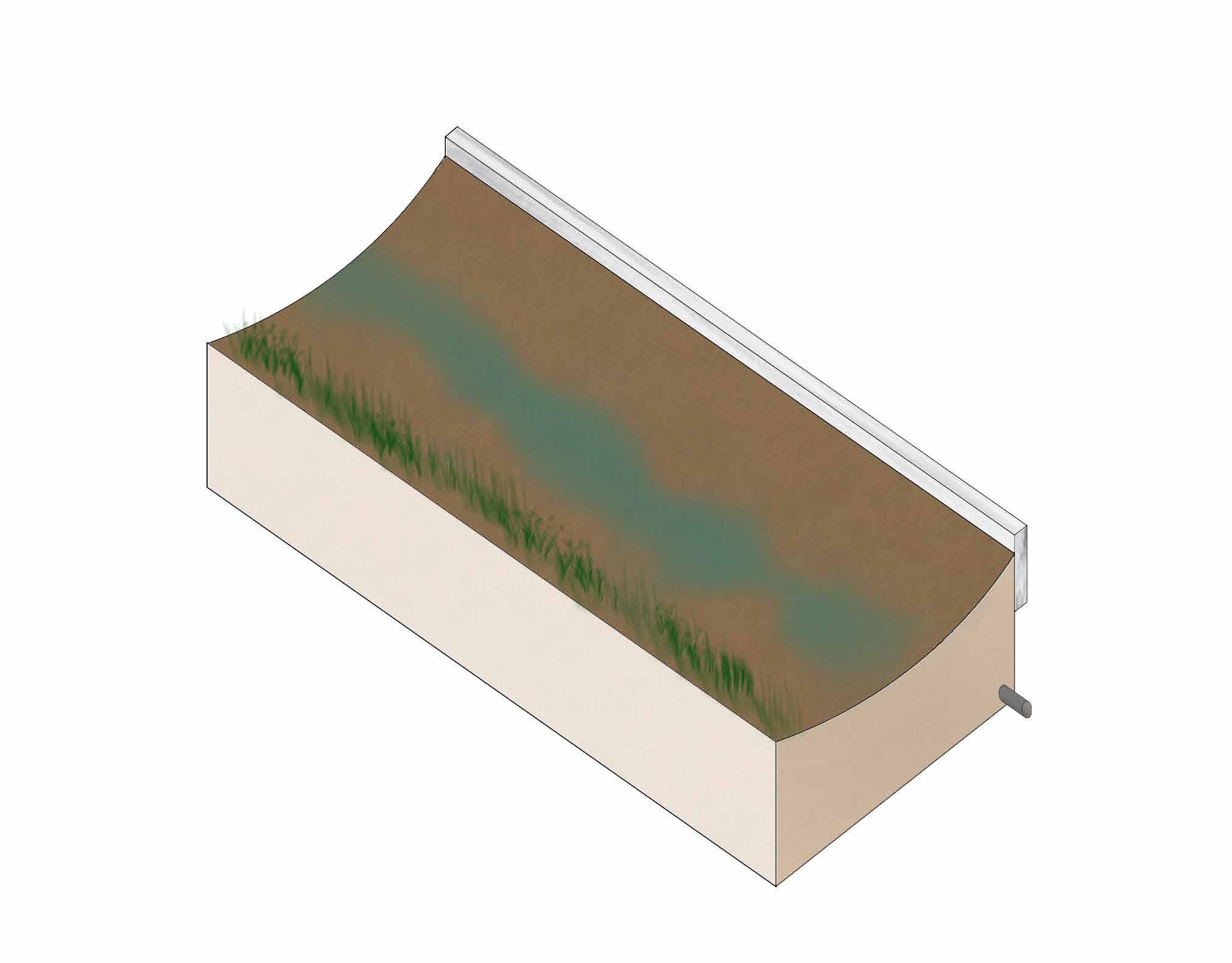
By stepping back to site early on in term 3, I was able to engage with site systems and thus began to unstitch my site region. Extrapolating on geology, materiality, and contamination, I was able to understand the site more accurately.
Ashphalt +/or Topsoil
Mix of compacted clay & transported fill
Mix of transported fill & muds and sands
Natural Geology
Understanding the extent of contaminants present on site enabled me to grasp how phytoremediation processes should occur on site.
This series of drawings forms the my response to contamination on site, where I looked to identify zones to engage with phytoremediation processes as well as the zoning of activity.

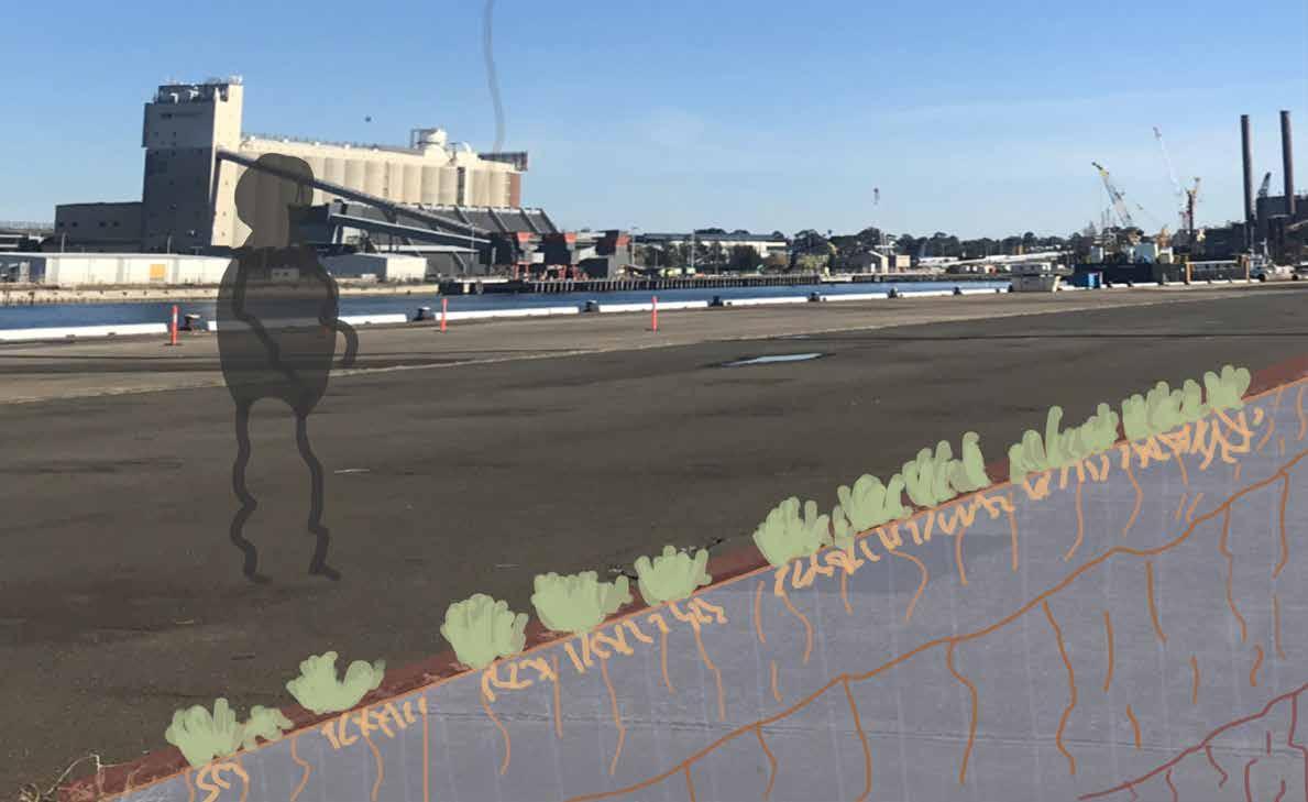
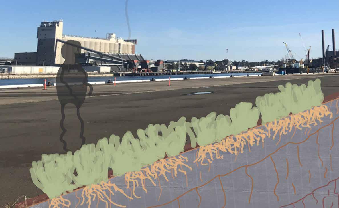
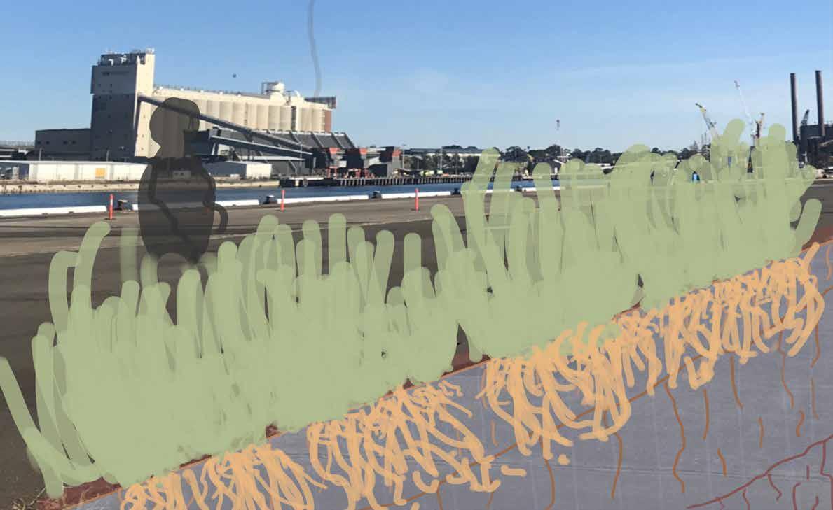
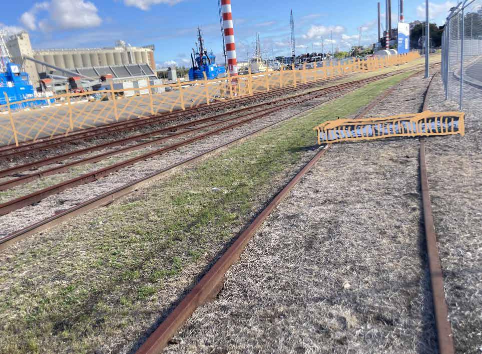
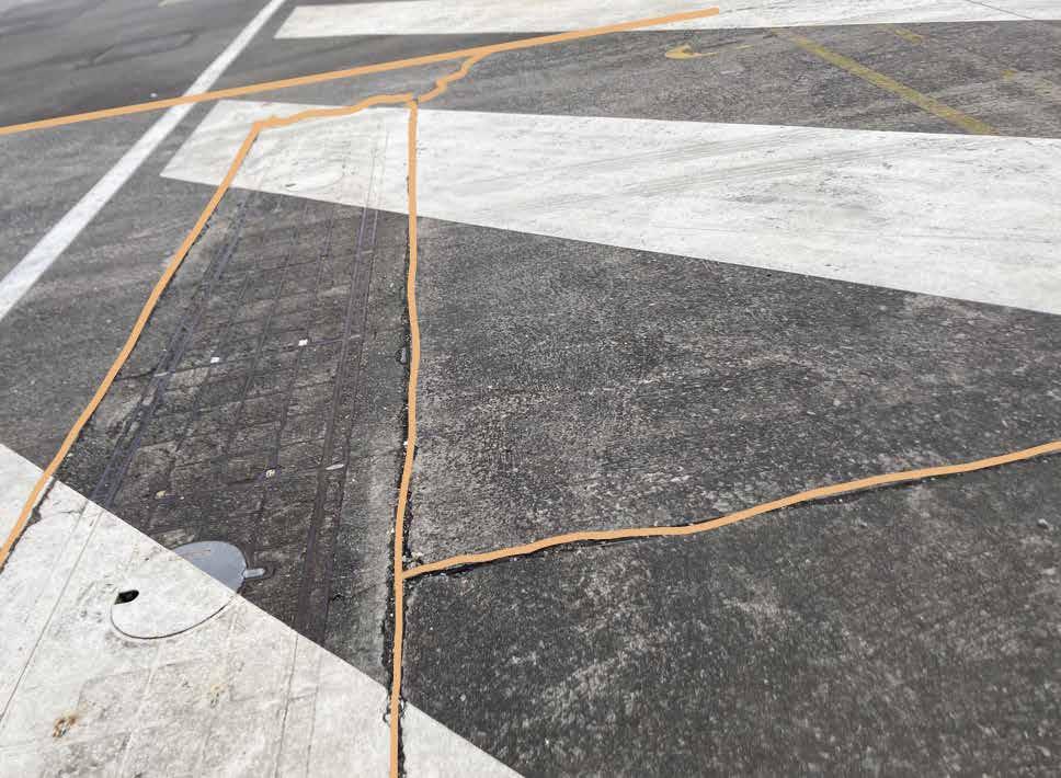
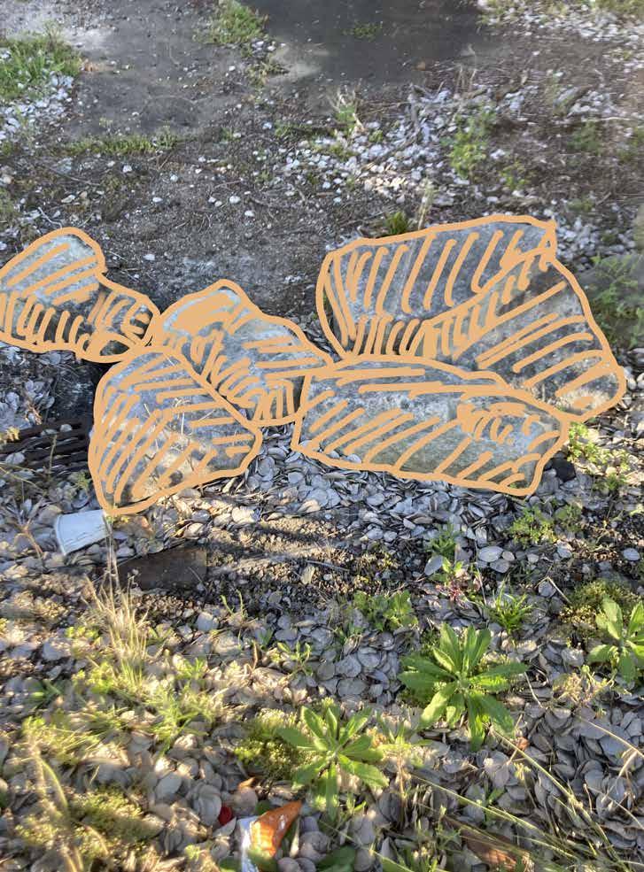
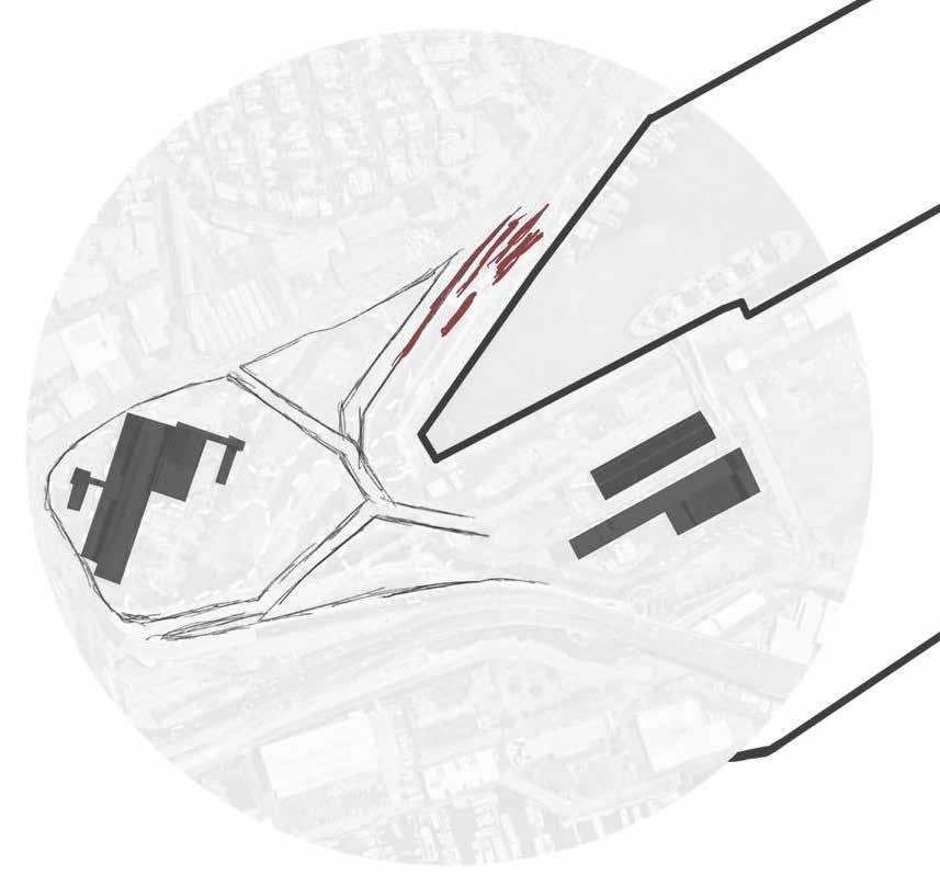
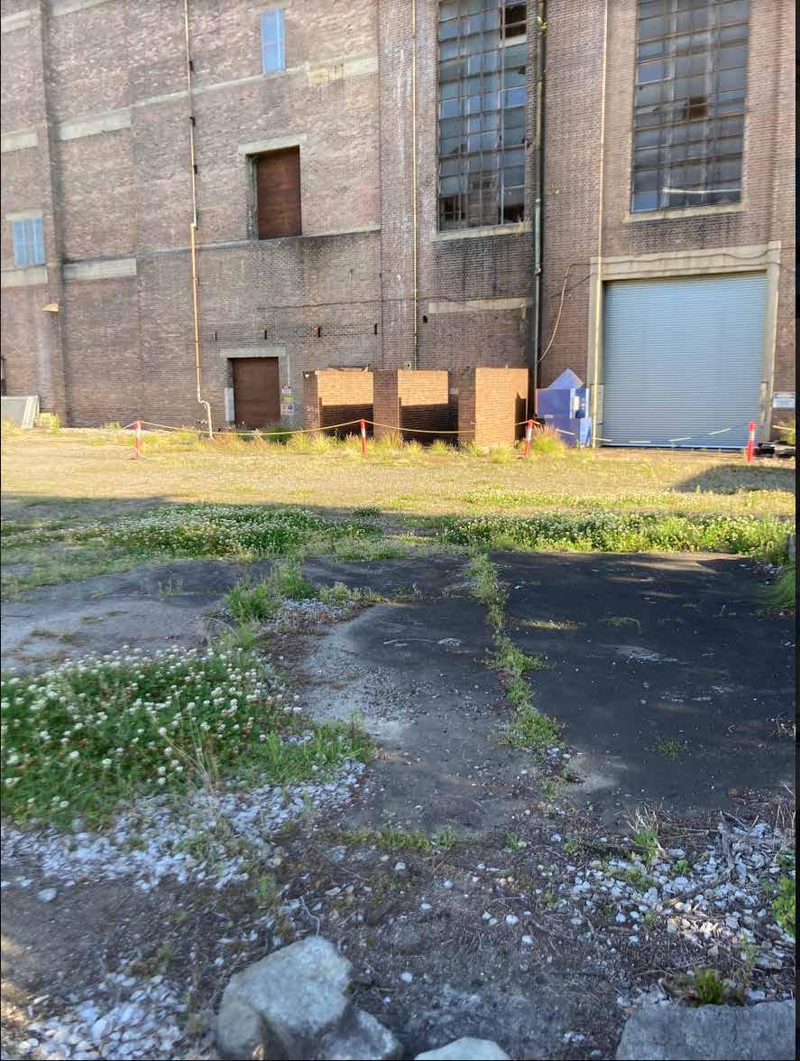
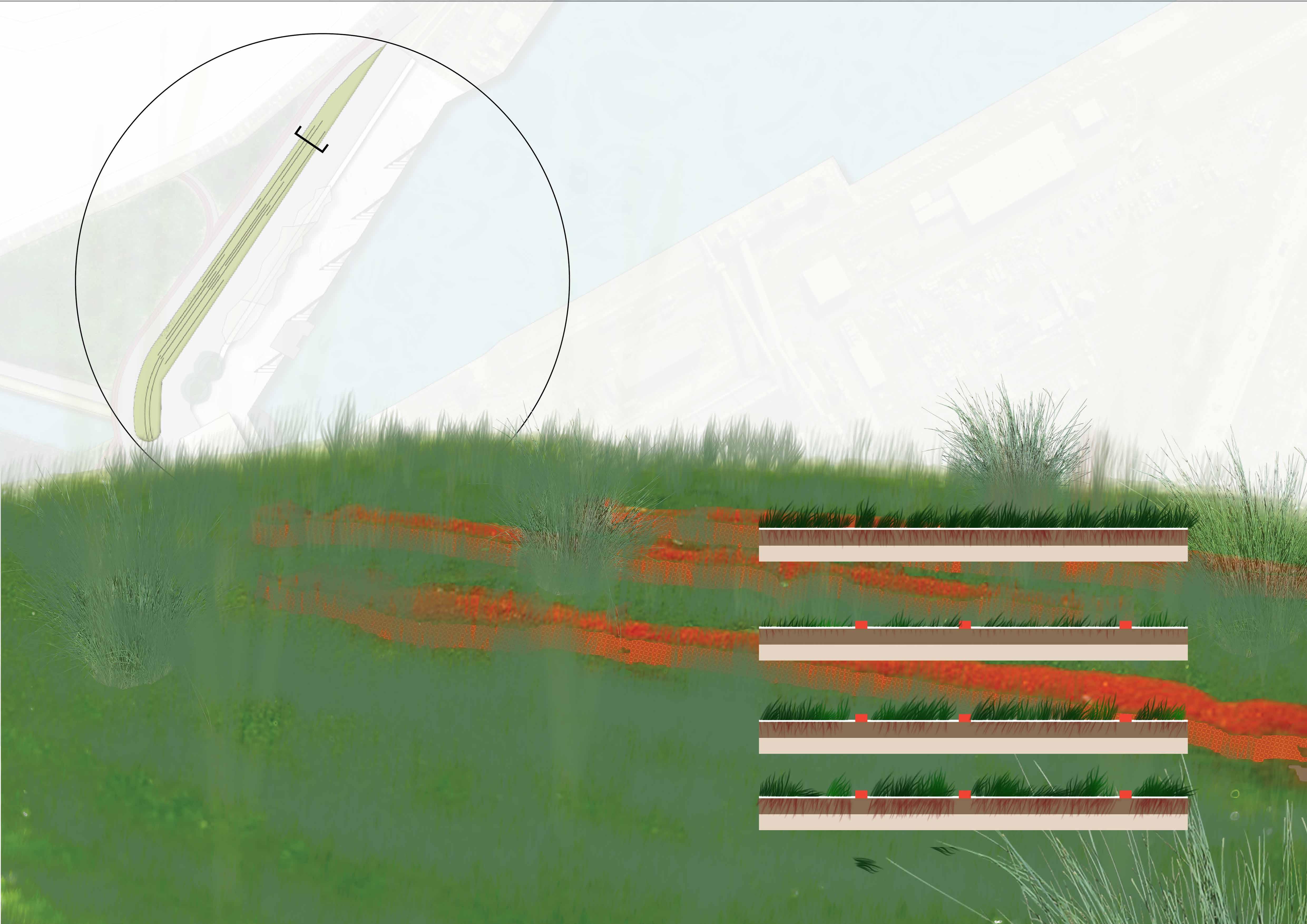
Observing how cracks have formed in the concrete, I looked to identify how these cracks could be opened up and exploited, as well as understanding the development of root structures.
Understanding and catering to systems allowed me to then focus on how user experiences could work around them and connect with the metro.
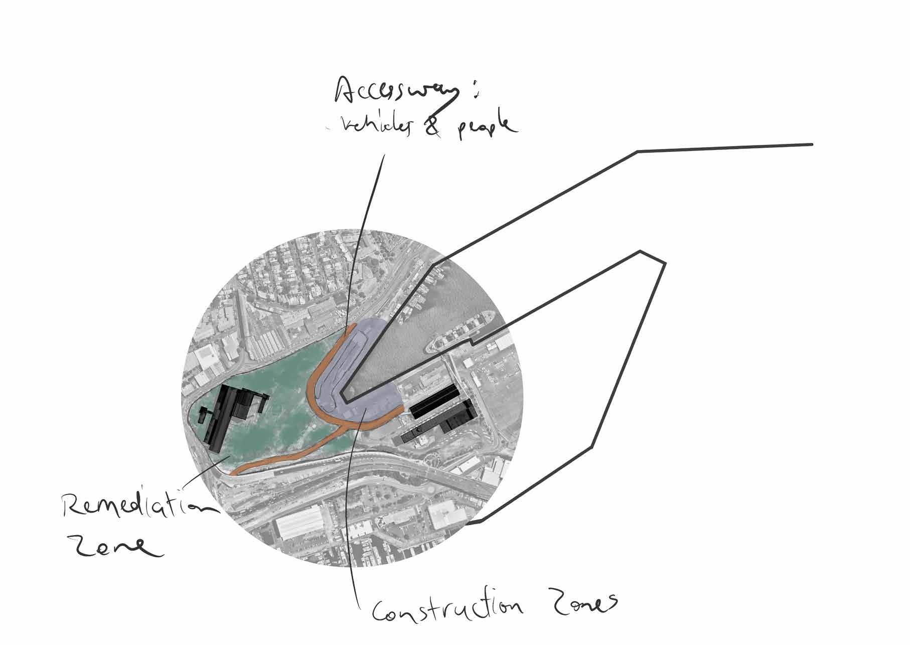
After identifying the need to cater to site systems, I looked to redevelop my design proposal, involving a reshuffling of my site proposals.

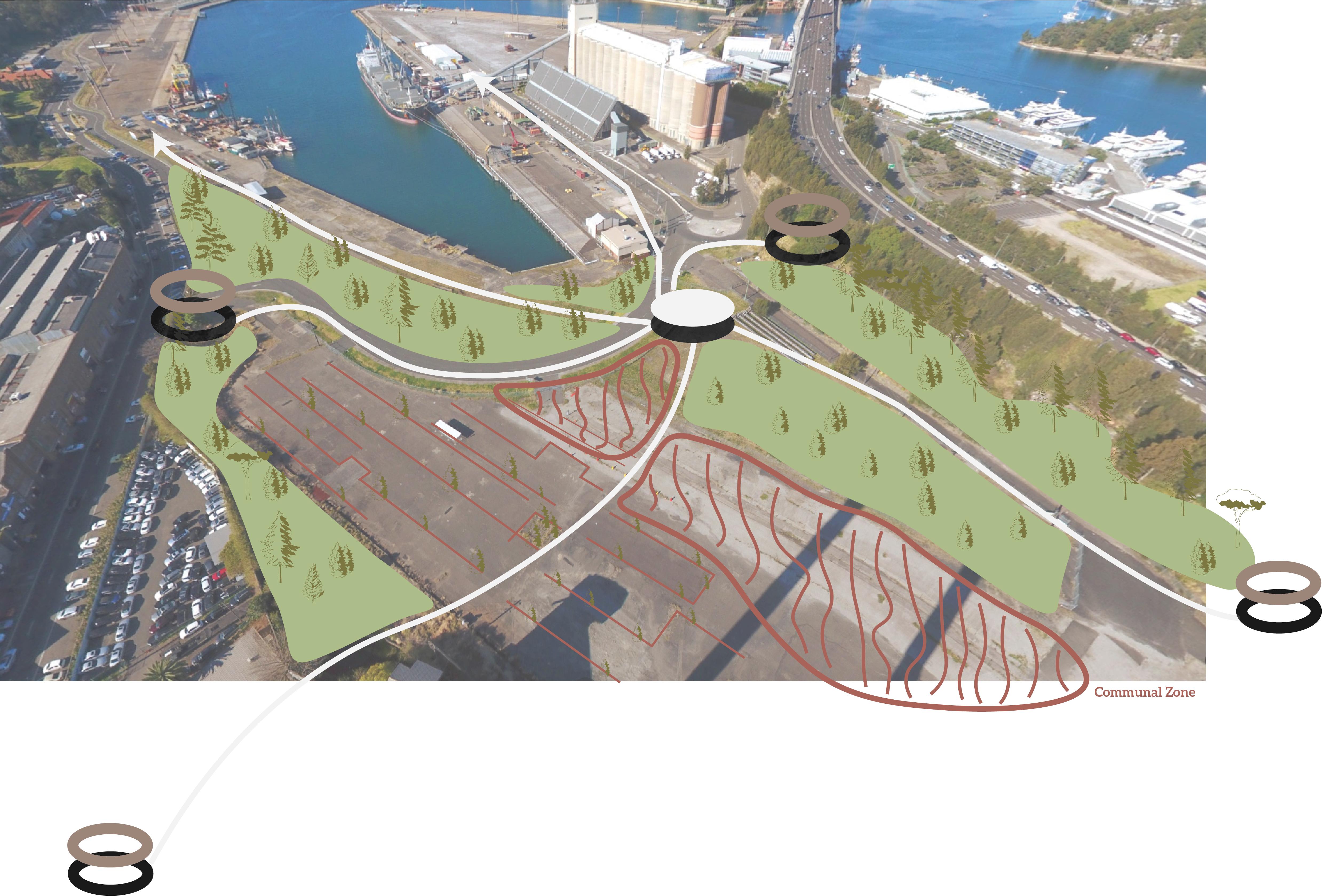
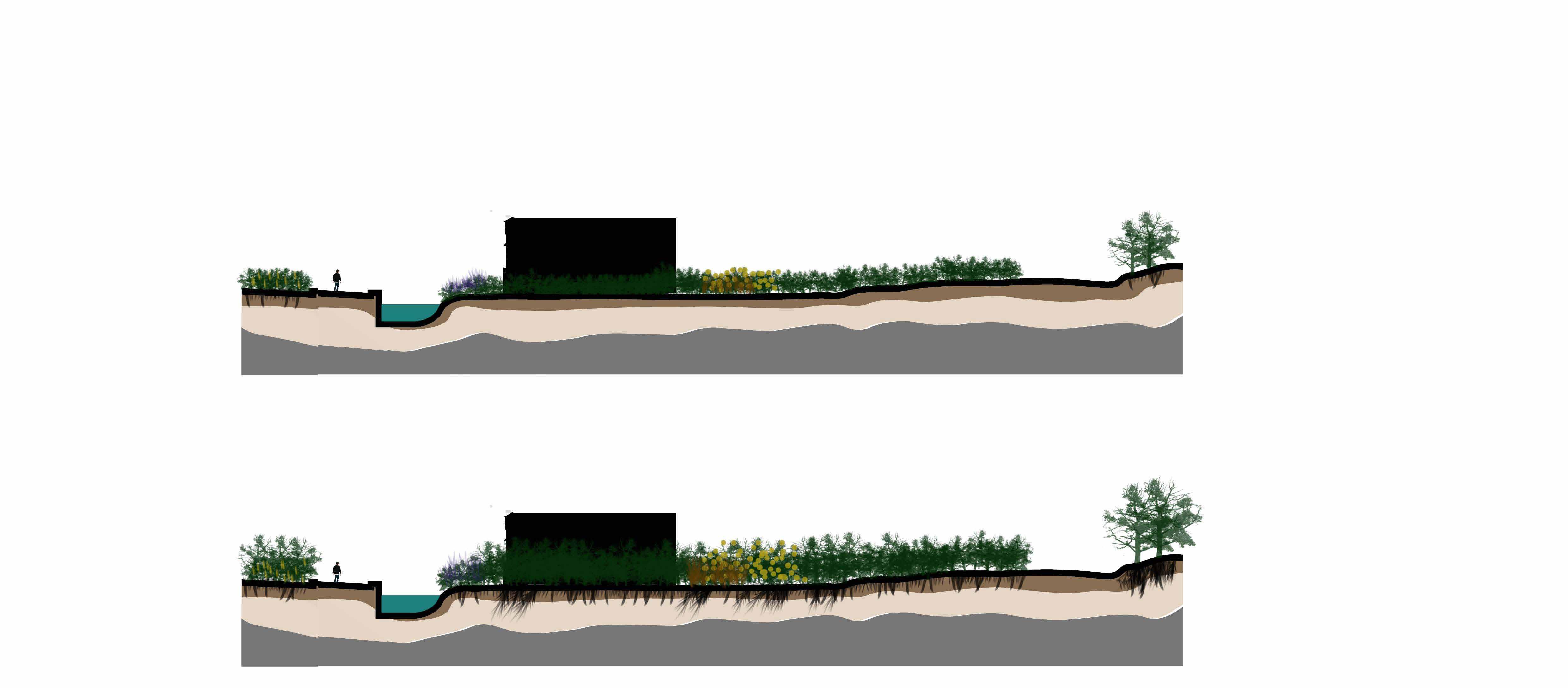
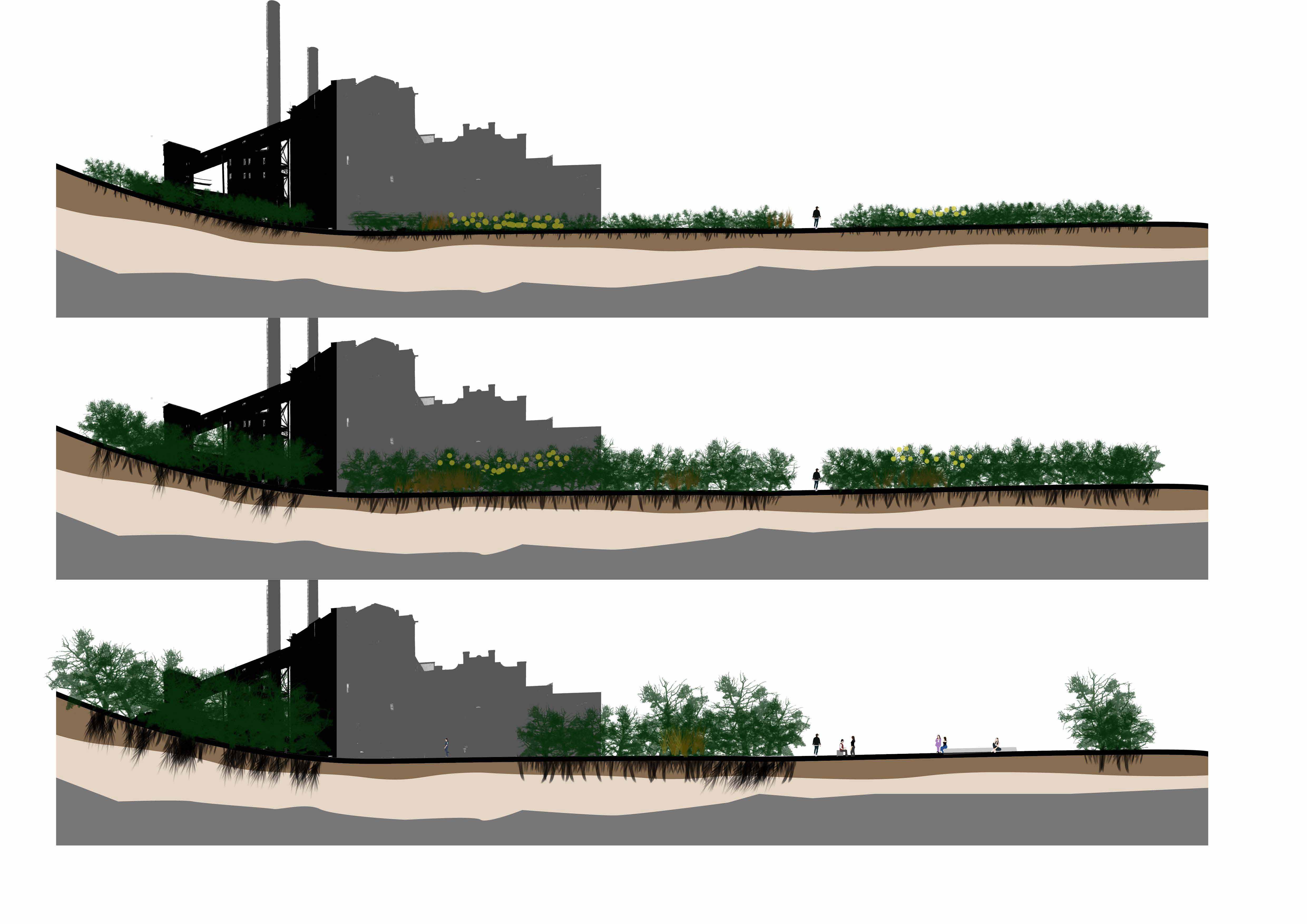
Early staging of the site came in the form of four main stages, where the general idea involves improving site systems to remove contamination, and then opening up pockets of space.
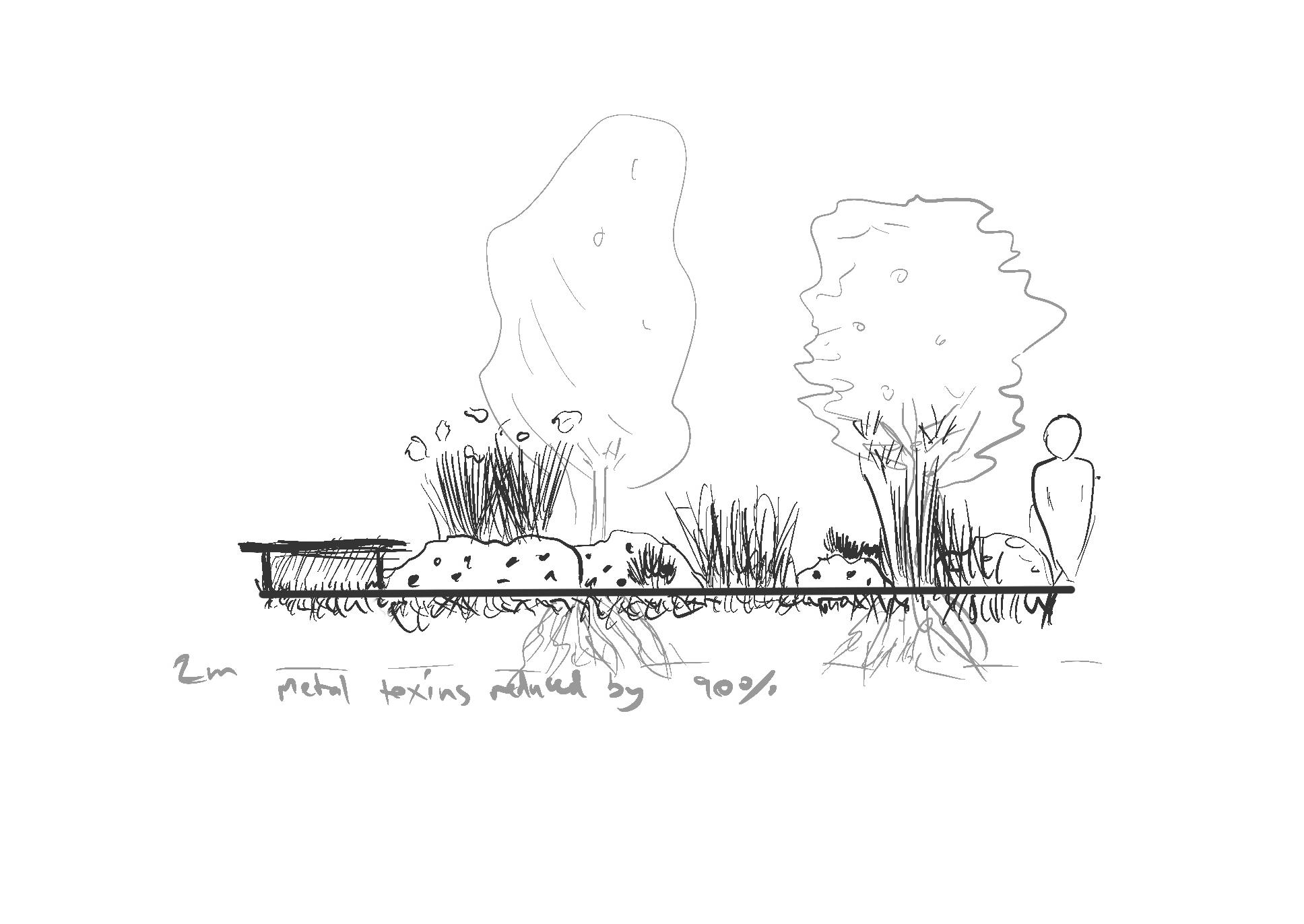
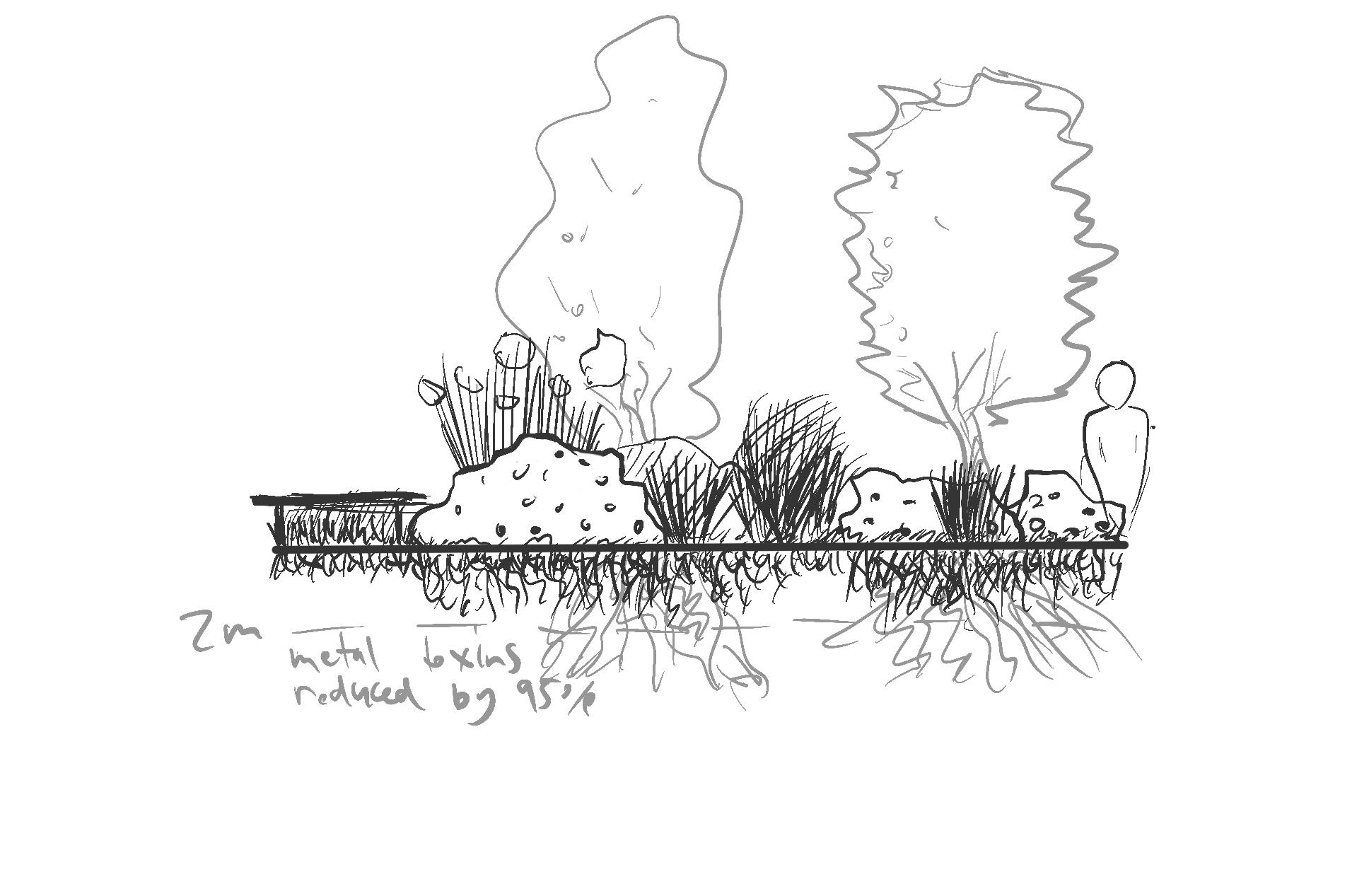
Site remediation involved 3 stages of phytoremediatoin, where metal toxins are slowly reduced over time till when the metro is built. This allows for a natural healing of our landscape which can not only improve the experience of users but also reduce costs that would otherwise be necessary to replace existing soil.
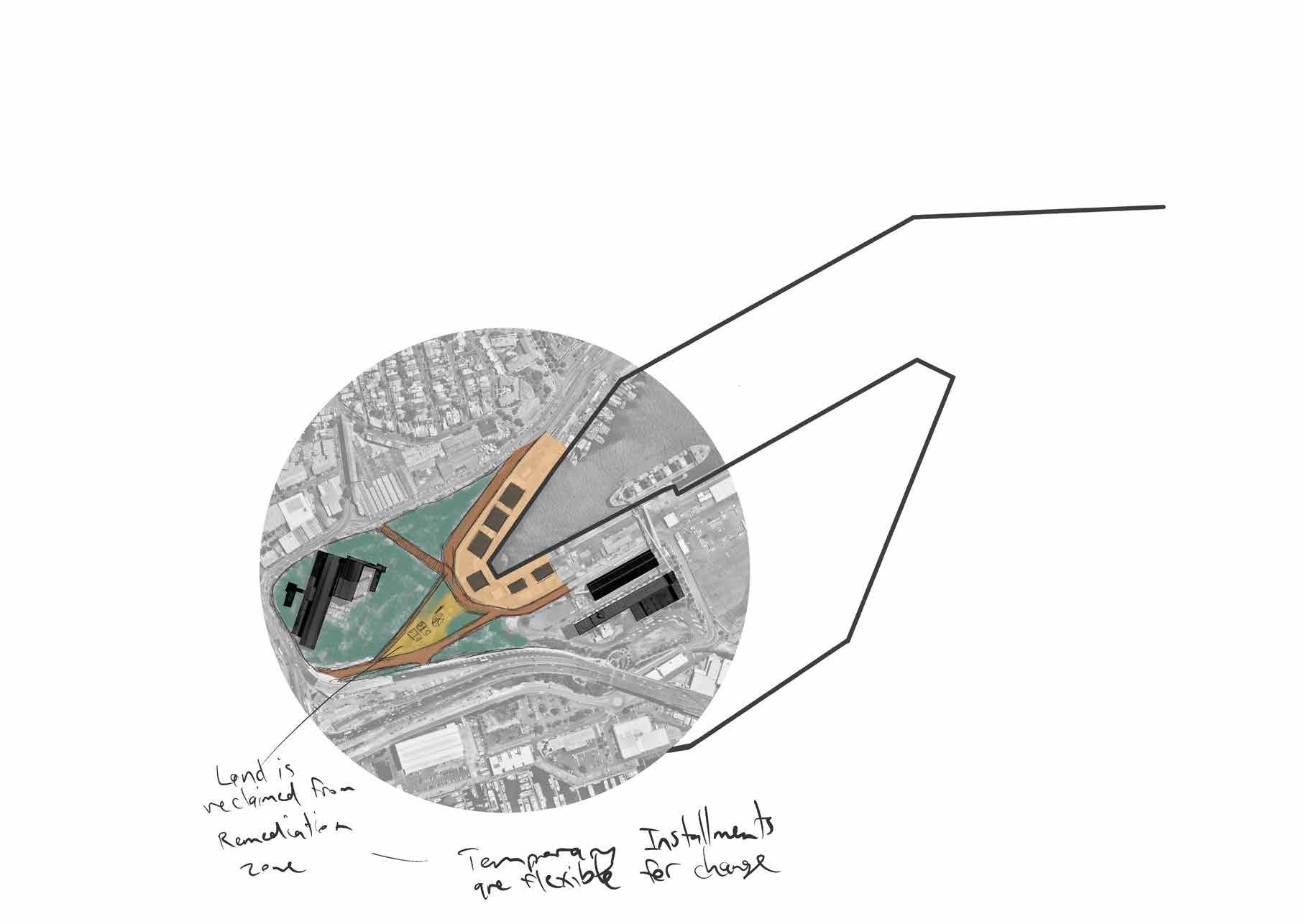
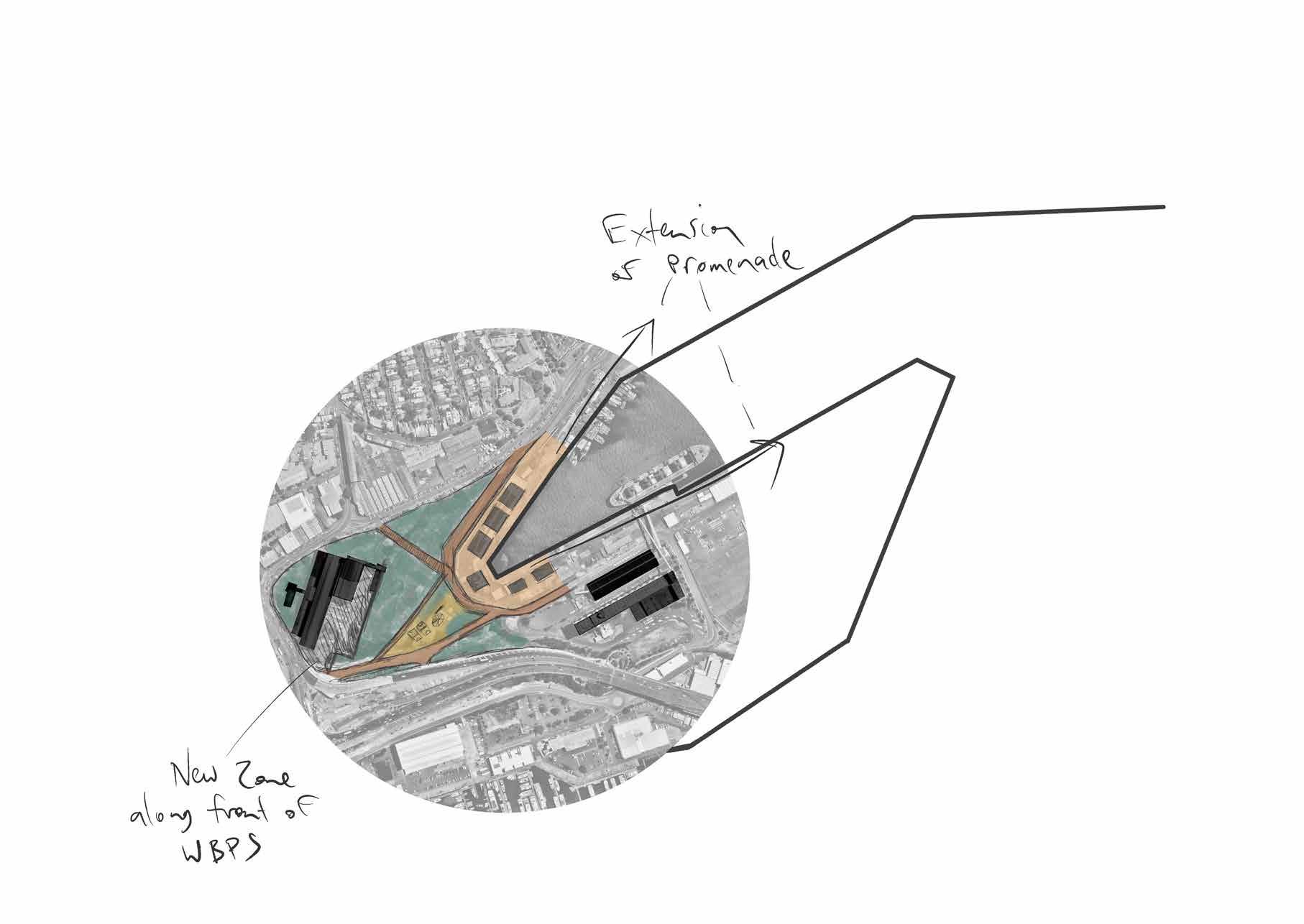
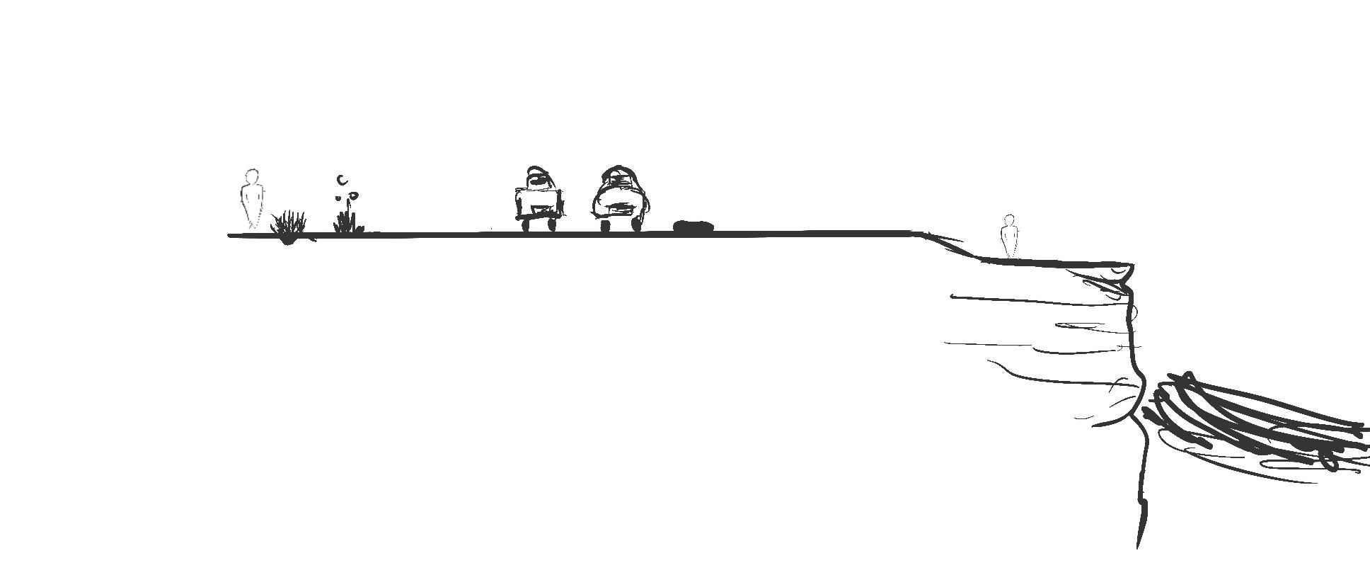
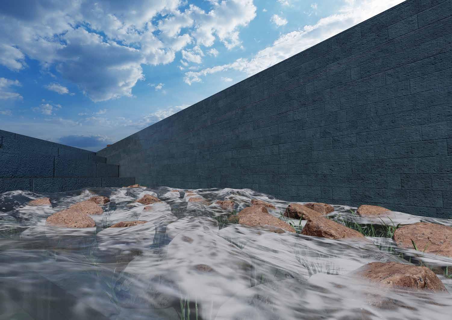
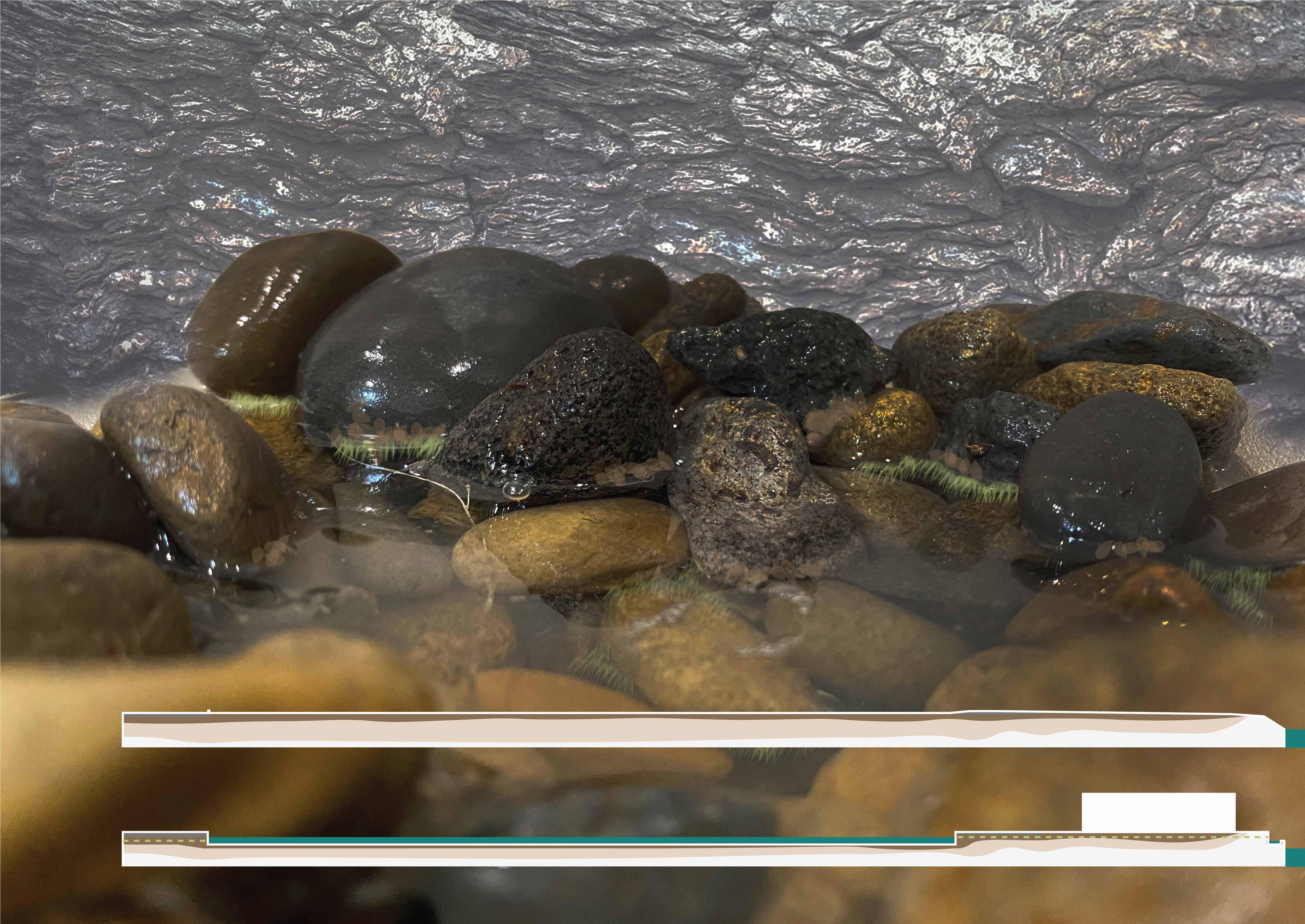
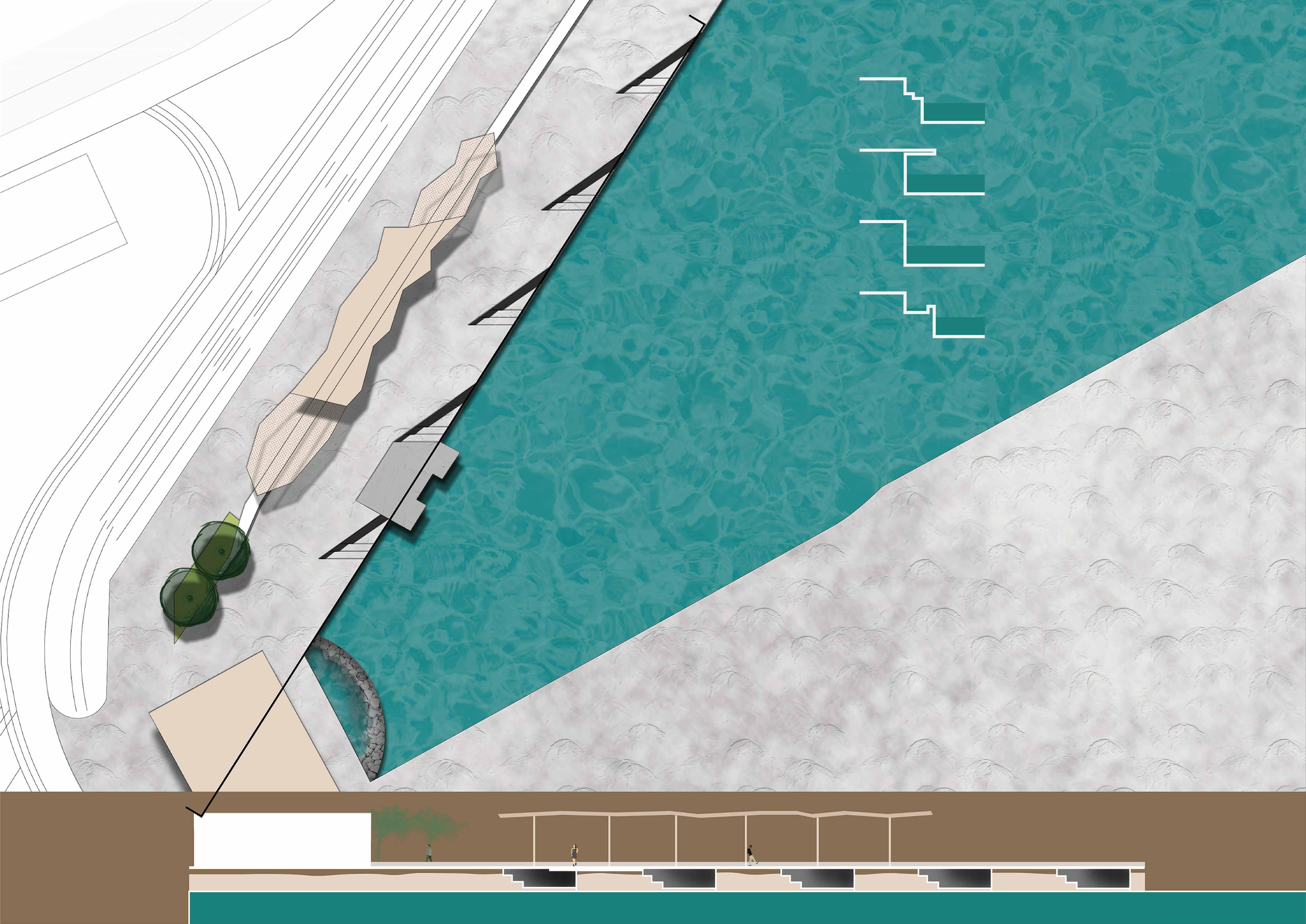
The promenade staging was necessary to portray the slow development of industrial activity on site. Stage 1 involves keeping the existing industrial uses of the promenade for parking, which later transforms into a working waterfront in stage 3 where the idea of cracks in the concrete is also implemented.
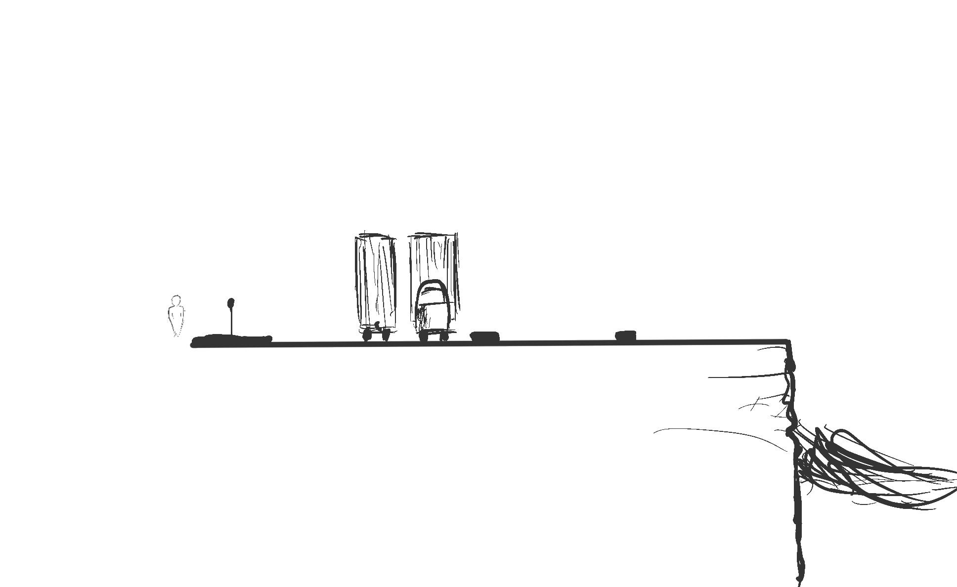
Promenade Stage 1
Promenade Stage 2
Promenade Stage 3
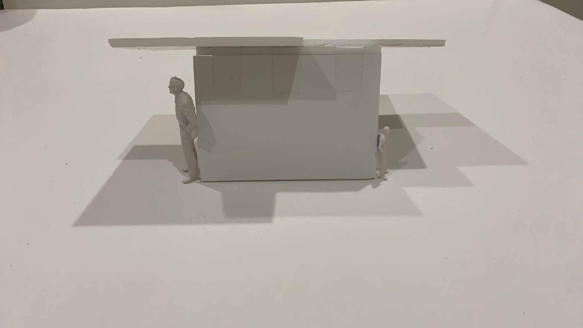
This modelling study looked to identify how different objects can cause indents into the landscape.
Ideas testing was heavily important in coming to final design resolutions. I looked predominantly at how site systems and user systems could be managed.
How can UI/UX design characteristics be used to balance site systems and facilitate coherent user journeys?
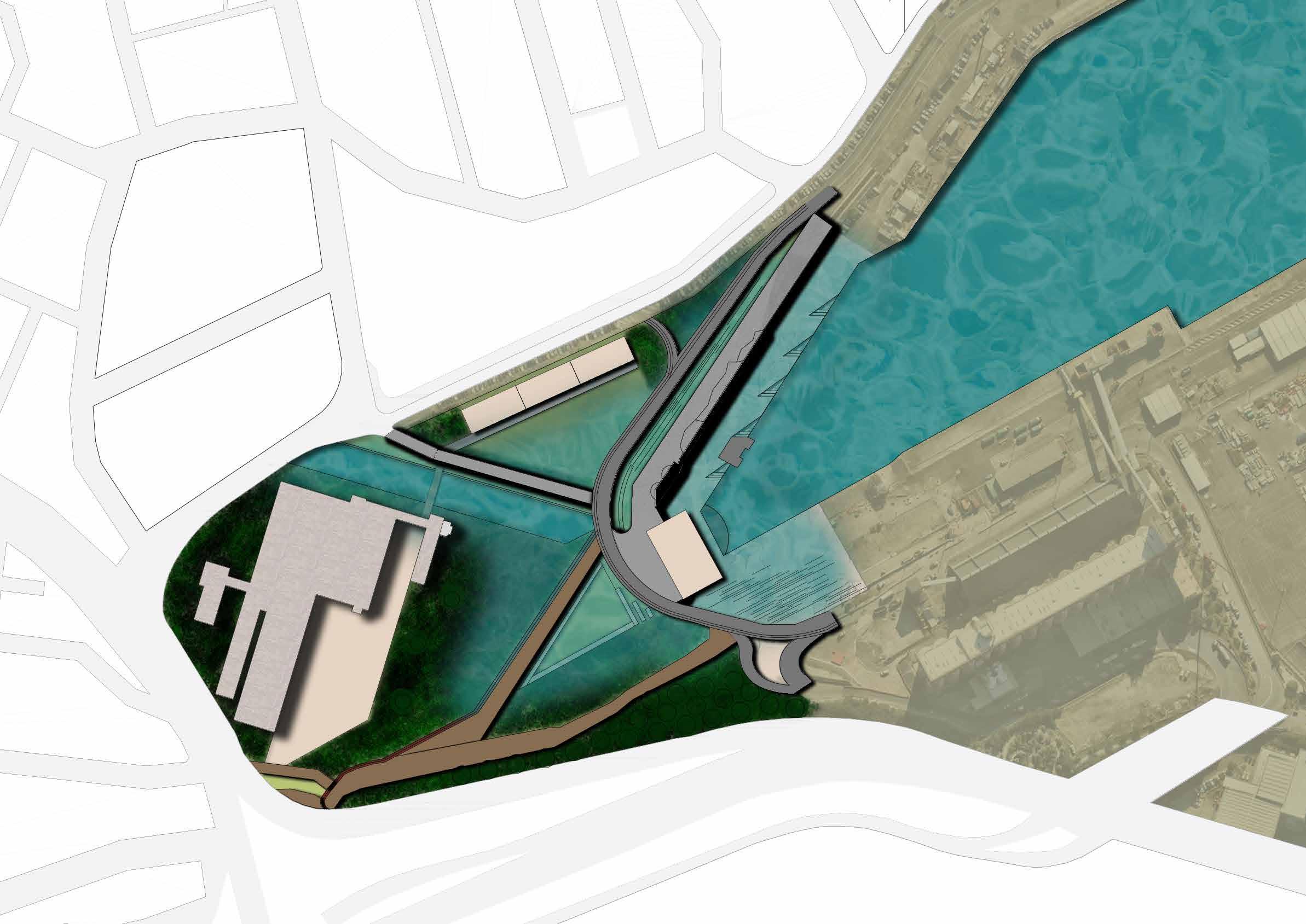
Site analysis thinking remained similar to before, with the exception of the additional focus of water systems on site.
UI/UX and landscape architecture design principles have significant commonalities, especially on the side of user experiences. When in
Site accessibility is heavily restricted due to the limited access towards the edge. With cyclists, there are additional issues with safety due to changing sizes of cycleways and their lack of connection to residential regions, which increases risks to themselves and other users on site.
Despite a lack of physical connection, the dominant bulidings allow for vistas towards other regions on site.
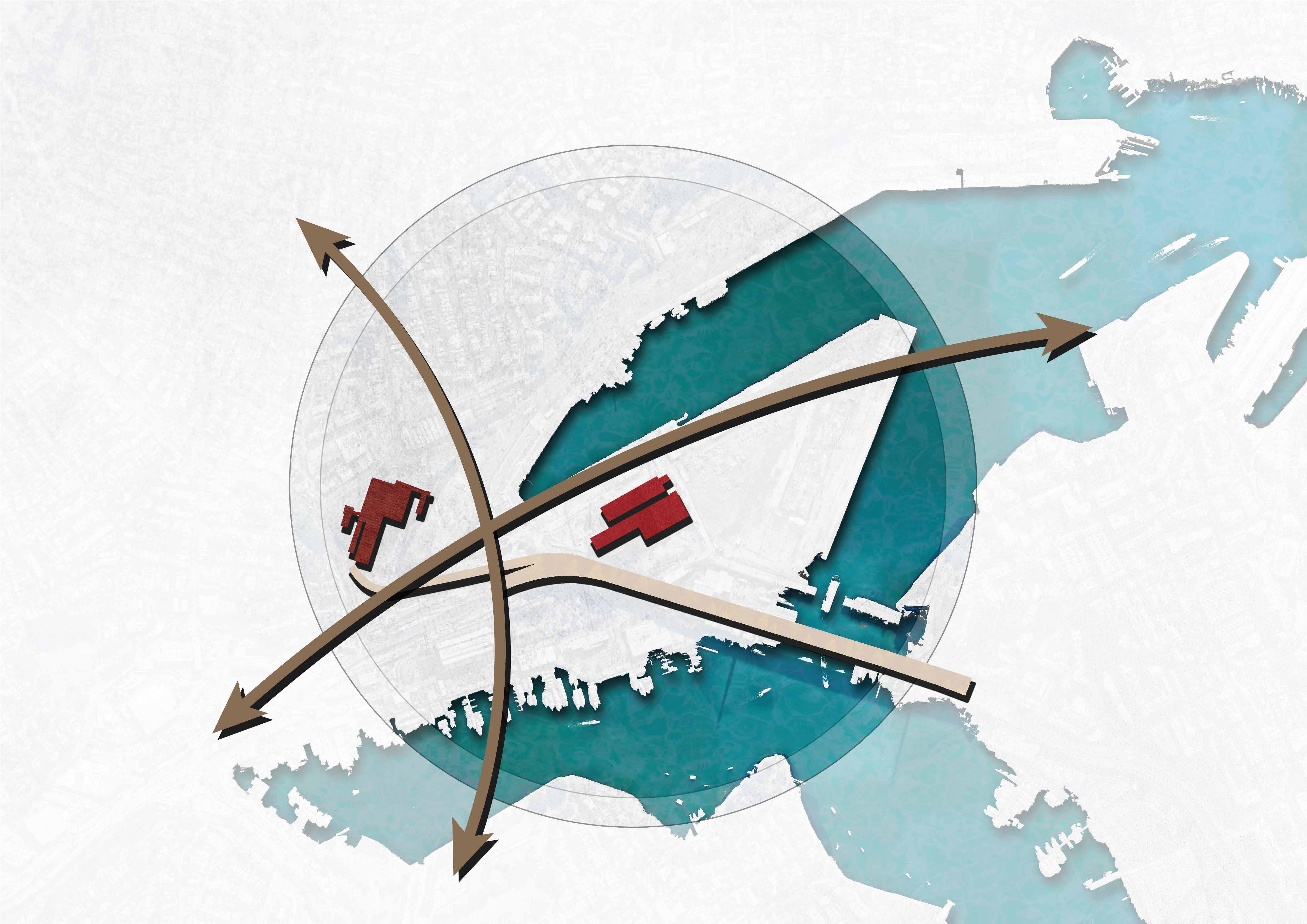
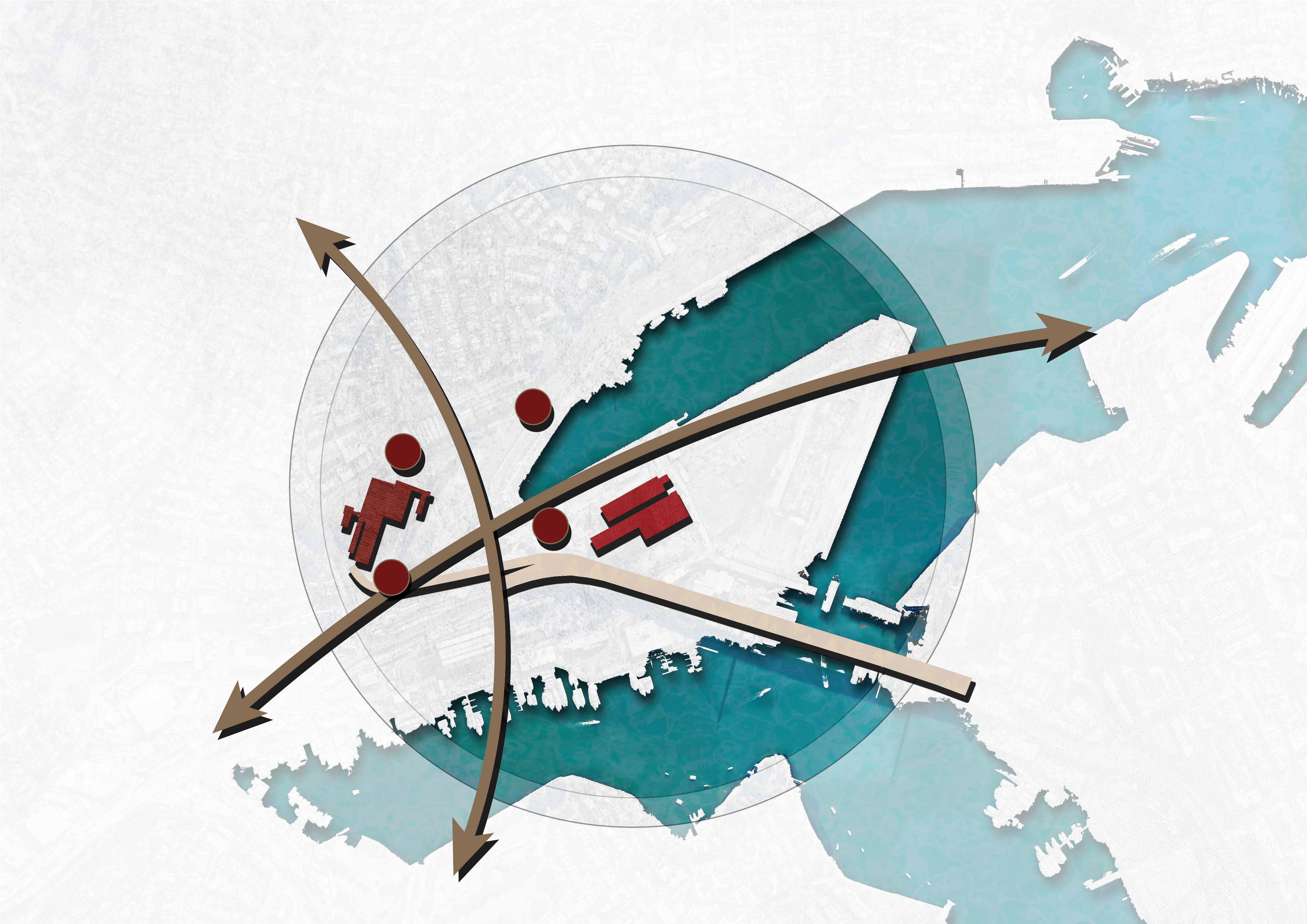
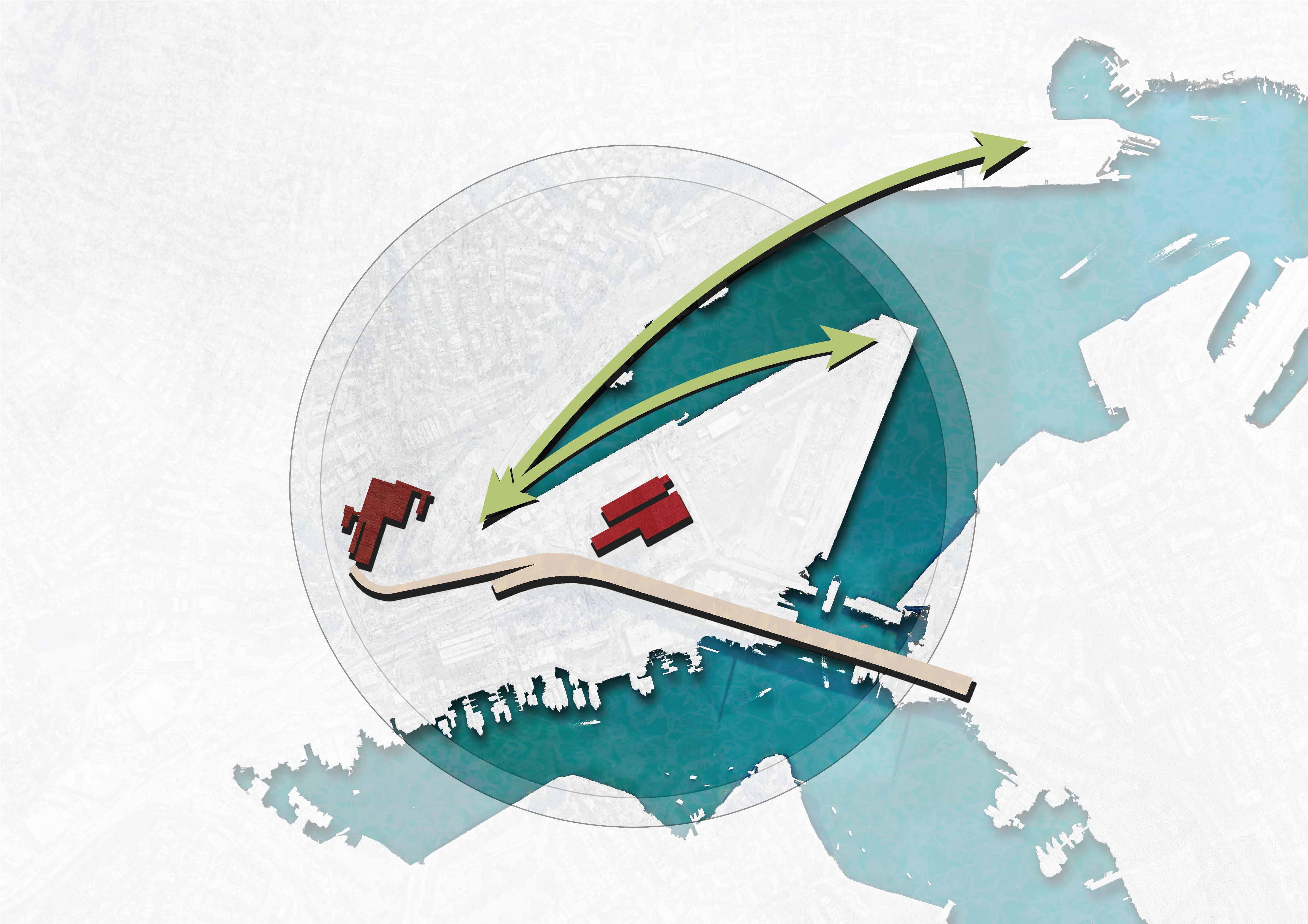
The metro region has the potential to act as a transitional space towards Glebe Island and White Bay.

With flooding risks, it is necessary to understand how stormwater runoff can be redirected to better suit the region, especially during flood events. Opportunity to Engage
Soil contaminants come in plenty on site, with traces of rare metals additionally present.
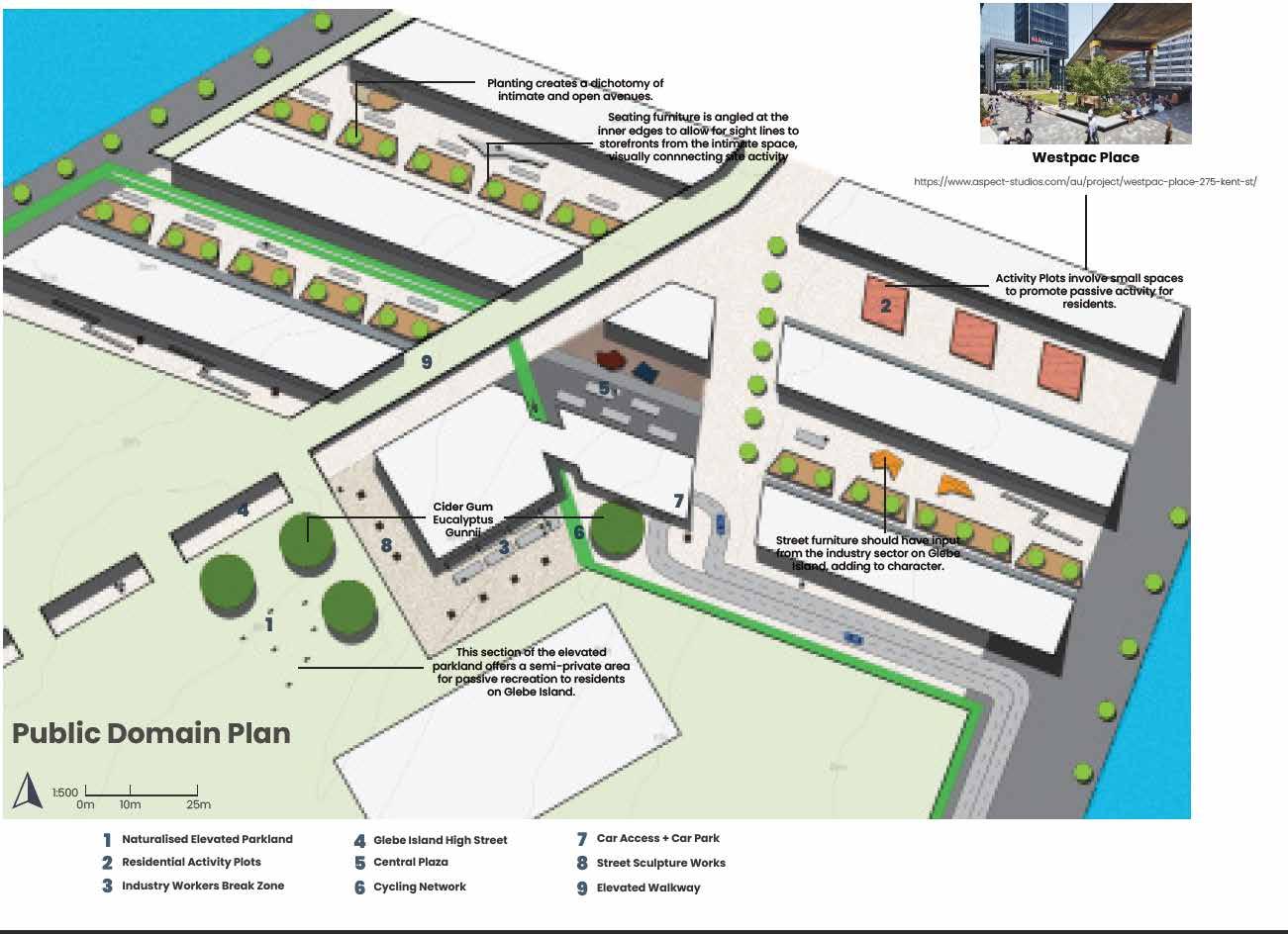
1:2000
1.
Reduce soil contaminants by up to 90% by Stage 2
2.
Maintain visual connections to major buildings
3. Establishing habitat for bivalve mollusc species
4. Establishing visual guidelines through colour
Stage 1
Remediation Strategy
Stage 2 Site Establishment
Stage 3 Community Impositions
Stage 4 Strategising for the Future
With flooding risks, it is necessary to understand how stormwater runoff can be redirected to better suit the region, especially during flood events.
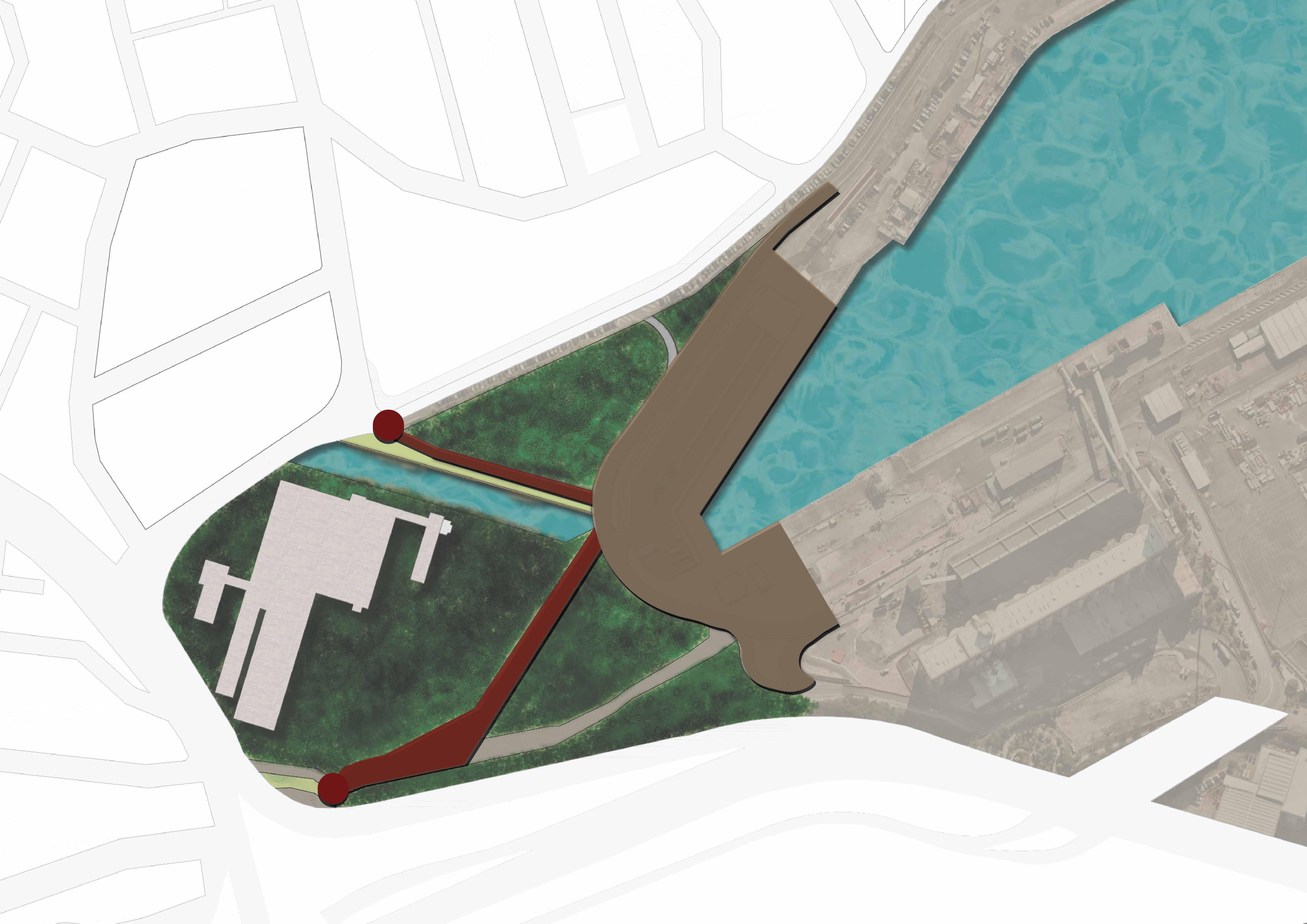
Drastic improvements to circulation not only improve access to other regions but are designed to also allow for phytoremediation processes to occur without interruption
1:2000
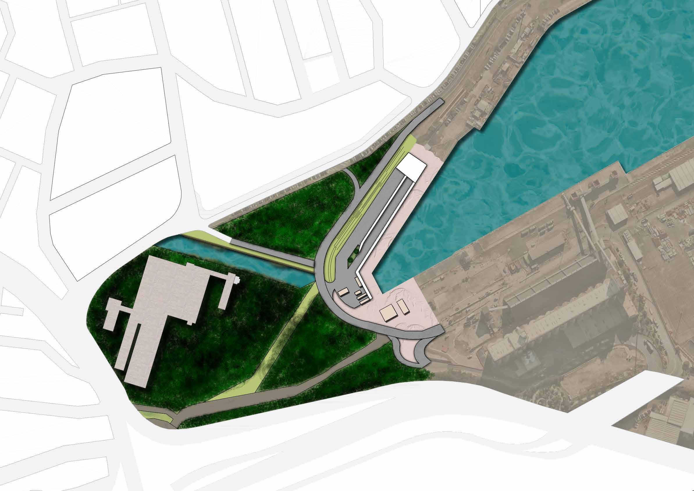
Metro
WBPS + Outside Zone
New Structures
Remediation Zone
Water Channel
Bridge
Roadway
Crushed Sandstone Road
Bike Path
Nooks
Promenade Structure
Viewing Platform
Open Field
This staging involves the clearance of phytoremediation regions, where new oppportunities for development arise.
Capping development to a certain level allows for vistas to be maintained and focalised towards the CBD.
1:2000
This stage 4 map highlights how it is necessary to be able to cope with a 100 year flood event. With rapid sea level rise, it is important to have coherent solutions. With the metro site being constructed near the edge, raising pathways to reach the entrance can be an effective measure.
1:2000
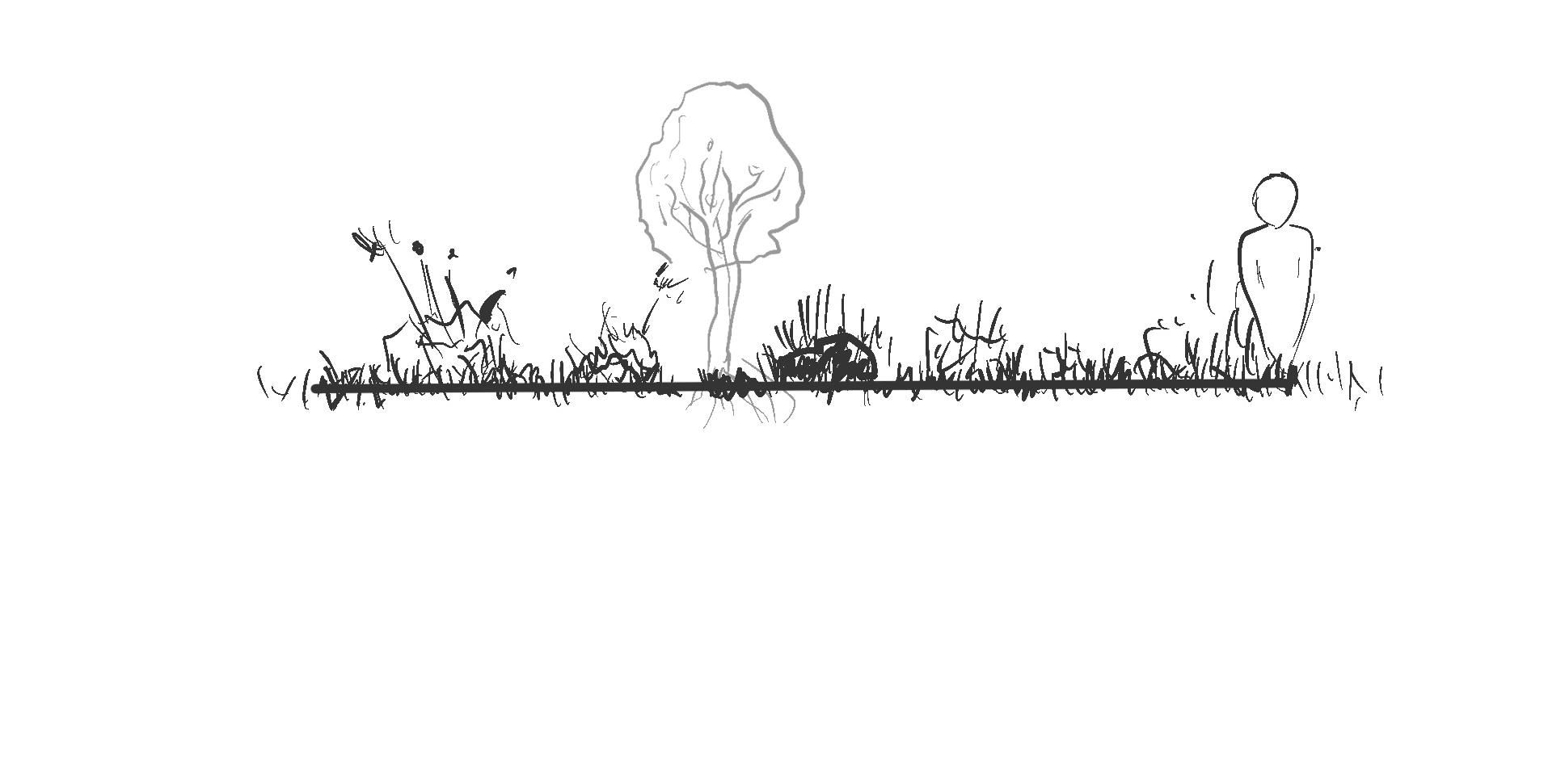
The planting on site is highly important to phytoremediation processes occuring on site. Hence identifying species that can specifically help remove toxic chemicals can allow for healing of the site.


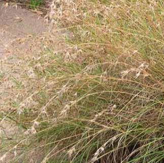


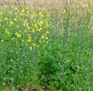

Sunflowers are utilised to reduce levels of arsenic
Blue Flax Lily used to stabilise the banks Corn planting is used to reduce levels of chronium
Bridge is opened for access to the other part of the site

WBPS zone is opened after clearing plants from this region
Sunflowers are utilised to reduce levels or arsenic
With significant flood risks on site, it becomes imperative to have a sustainable system working on site.
The establishment of a remediation system helps in the filtration of stormwater. This works in tandem with phytoremediation processes.


Opportunity to engage with process of boring and filter the landscape.
Looking at how these nooks could submerge under the water during higher tides and can thus allow for bivalves to latch onto rocks allows for a development of these nooks as a filtration device.

The development of this idea allows for cracks to guide user journeys. Utilising this allows for redirecting people from the metro towards surrounding areas.
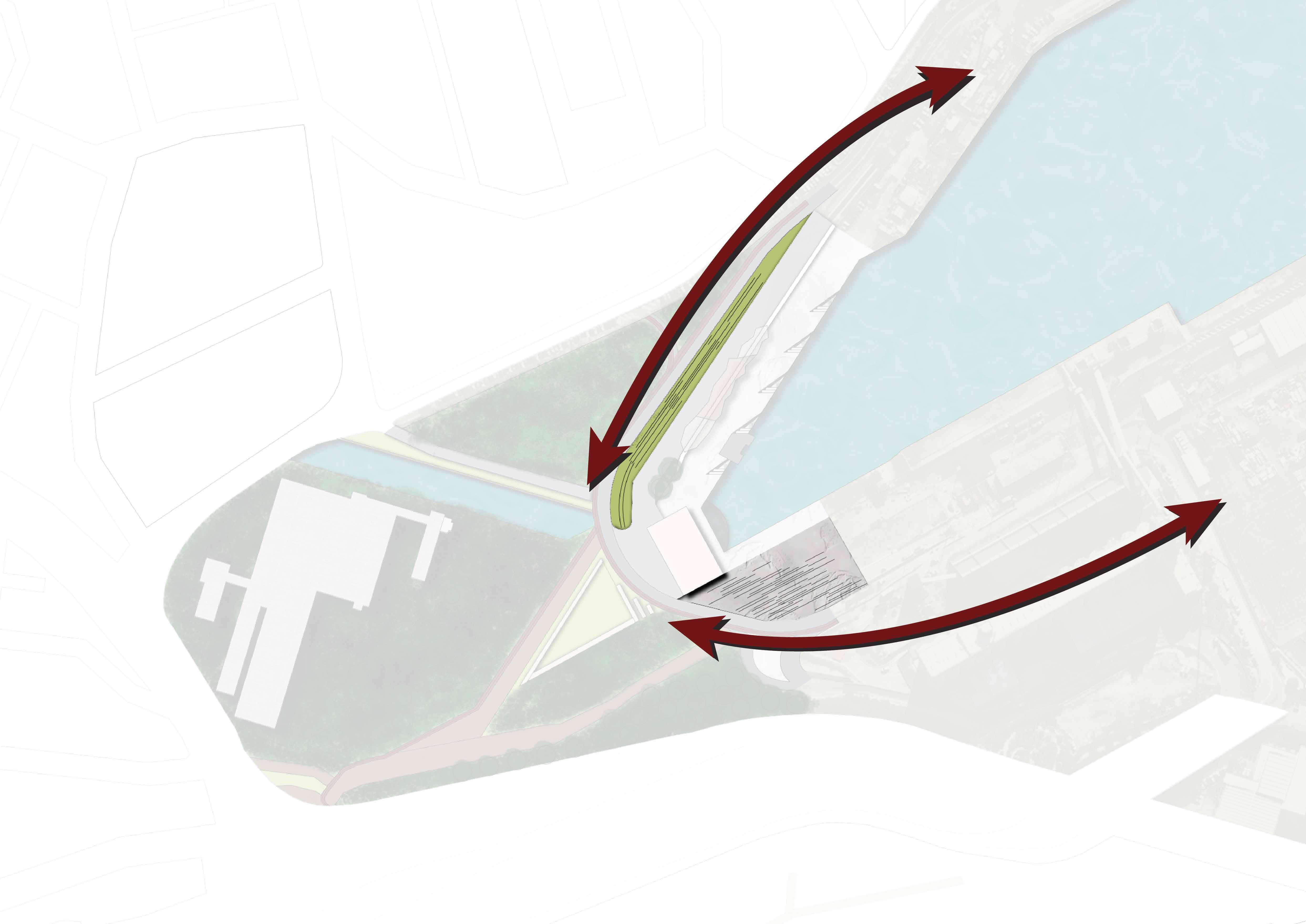
Pops of colour can be utilised to guide users towards WBPS & Glebe Island
1:2000
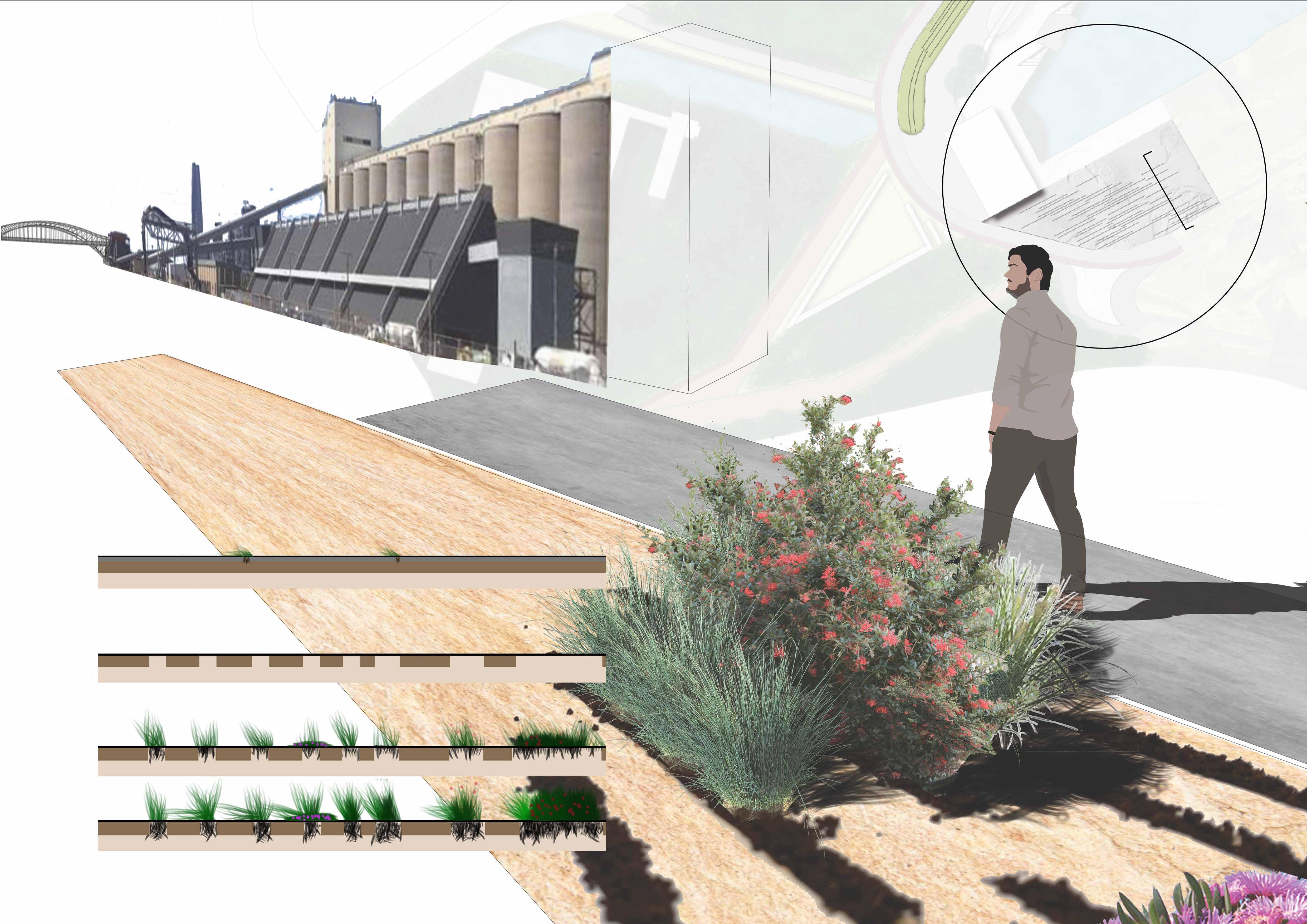
Cracks in concrete previously established
Initial Conditions
Creating Plant boxes
Stage 1
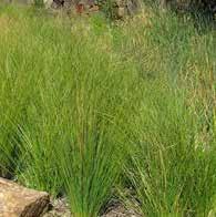
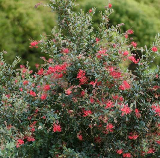
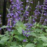
Perrenial Grasses & Bright flowering plants
- Grevillea Hybrida
- salvia longispicata
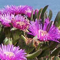
- carpobrotus rossii
Stage 2
Stage 3
Initial Conditions
Stage 1
Stage 2
Stage 3
The future of the region is heavily dependant upon how flood waters can be managed in response to sea level rise. There is a sol
With site conditions heavily improved, there is greater flexibility in when approaching rapid sea level rise and flooding risks.
Victorian Government, 2017, 20-minute neighborhoods, https://www.planning.vic.gov.au/policy-and-strategy/planning-for-melbourne/plan-melbourne/20-minute-neighbourhoods. Grodach, C., Gibson, C., & O’Connor, J. (2019). Three ways to fix the problems caused by rezoning inner-city industrial land for mixed-use apartments. The Conversation., https://theconversation.com/three-waysto-fix-the-problems-caused-by-rezoning-inner-city-industrial-land-for-mixed-use-apartments-121566 Gill, J 2021, ‘Safeguarding employment precincts is a vital part of planning for economic growth’ , NewPlanner, (p.18-19) Bügl R, Stauffacher M, Kriese U, Pollheimer D & Scholz R 2012, Identifying Stakeholders’ Views on Sustainable Urban Transition: Desirability, Utility and Probability Assessments of Scenarios, European planning studies, vol. 20, no. 10, pp. 1667–1687. Falco, E 2016, Digital Community Planning: The Open Source Way to the Top of Arnstein’s Ladder, International journal of e-planning research, vol. 5, no. 2, pp. 1–22
Gailing, L & Leibenath, M 2017, Political landscapes between manifestations and democracy, identities and power, Landscape research, vol. 42, no. 4, pp. 337–348
Kotus, J & Sowada, T 2017, Behavioural model of collaborative urban management: extending the concept of Arnstein’s ladder, Cities, vol. 65, pp. 78–86
Marte Lange, V 2017, Self-mobilisation and lived landscape democracy: local initiatives as democratic landscape practices, Landscape research, vol. 42, no. 4, pp. 400–411 Angelica, L 2020, Graphic Design vs. UX Design vs. UI Design: Know the Difference, Wondershare, <https://mockitt.wondershare.com/graphic-design/graphic-design-vs-ux-design.html> Chang, Y, Kim, J & Joo, J 2013, An Exploratory Study on the Evolution of Design Thinking: Comparison of Apple and Samsung, Design Management Journal, vol. 8, no. 1, pp. 22–34 Coyne, C, Padilla-Walker, L & Howard, E 2013, Emerging in a Digital World, Emerging Adulthood, vol. 1, no. 2, pp. 125–137 Deitsch, D 2009, Maya Lin’s Perpetual Landscapes and Storm King Wavefield, Woman’s art journal, vol. 30, no. 1, pp. 3–10 Design Curial, 2015, Less is more – and eight other architecture and design rules to live by, designcurial, <http://www.designcurial.com/news/less-is-more-and-eight-other-architecture-and-design-rules-to-liveby-4510945/>
Prajapati, V 2020, Facts About Mobile App UX/UI Design Mistakes and Trends, techprevue, <https://www.techprevue.com/mobile-app-ux-ui-design-facts/> Shelley, C 2015, The nature of simplicity in Apple design, The Design journal, vol. 18, no. 3, pp. 439–456 Smith, A 2019, A Full Guide on the Differences Between UI and UX Design, prototypr, https://blog.prototypr.io/a-full-guide-on-the-differences-between-ui-and-ux-design-eec890d59094 World Design Guide, 10 Principles for Good Design – by Dieter Rams, <https://ifworlddesignguide.com/design-specials/dieter-rams-10-principles-for-good-design> Wired, 2014, If Our Future Is Digital, How Will It Change the World?, <https://www.wired.com/insights/2014/04/future-digital-will-change-world/> Nielson, J 2020, 10 Usability Heuristics for User Interface Design, NNG, <https://www.nngroup.com/articles/ten-usability-heuristics/> Power Plants Phytoremediation, 2018, Historical Analysis, powerplantsphytoremediation, <https://powerplantsphytoremediation.com/historical-analysis> Pyrmont History Group, Glebe Island, pyrmonthistory, <https://pyrmonthistory.net.au/glebe-island> Pyrmont History Group, Anzac Bridge, pyrmonthistory, https://pyrmonthistory.net.au/anzac-bridge Reynolds, P 2007, Glebe Island, dictionaryofsydney, <https://dictionaryofsydney.org/entry/glebe_island> The Urban Developer, 2016, The Power Station Where The Property Boom Meets The Ideas Boom, < https://www.theurbandeveloper.com/articles/white-bay-power-station> NSW Government, 2020, Scoping Report, Sydney Metro, <https://www.sydneymetro.info/sites/default/files/document-library/SMW_Stage_2_Scoping_Report.pdf> NSW Government, 2016, Balmain Electoral Division, Multicultural NSW, <https://multiculturalnsw.id.com.au/multiculturalnsw/electoral-division-language?WebID=2030&SexKey=2>