A Communal Landform Garden to promote mental and physical well-being by experiencing equipment-free play and nature engagement.
Lusty Street Reserve is an existing public resreation space, but is currently devoid of any human activity. My vision to recognise the full potential of the site is to develop the vacant space into an engaging community space that connects directly to Wolli Creek Station by an underground passageway and to Cooks River Walk across Wolli Creek utilising the existing sewage aquaduct infrastructure.
Public and semi-public spaces, artistic sculptures, architectural follies will be incorporated in the design of this community park to create a heirarchy of experiences to take back home. This landform garden will mark the entrance to the Bardwell Parklands and Wolli Creek Green Grid Corridor.
Native Planting, use of Local Materials, Landforms that generate and break Visual and Physical Connections, Dog-Friendly Park, Clear Wayfinding, Lowlit but Safe Spaces during night-time.
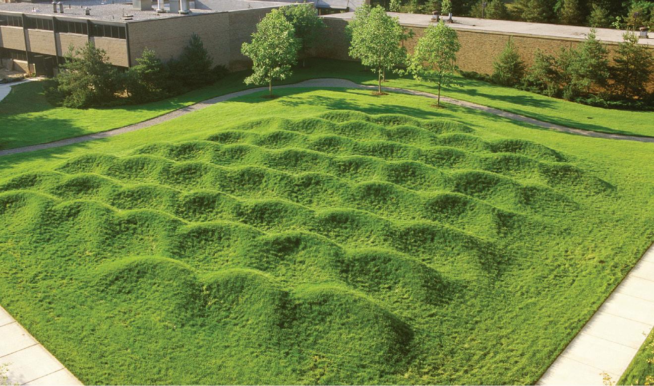
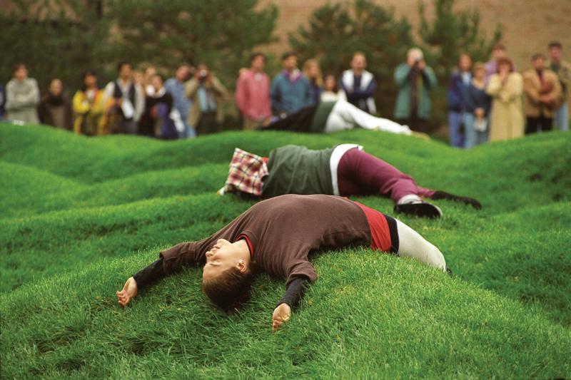
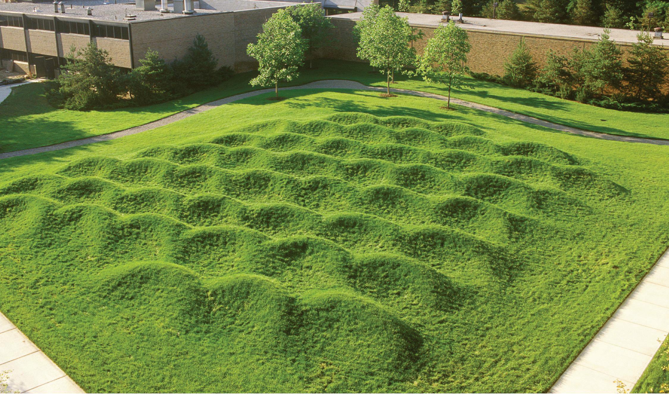
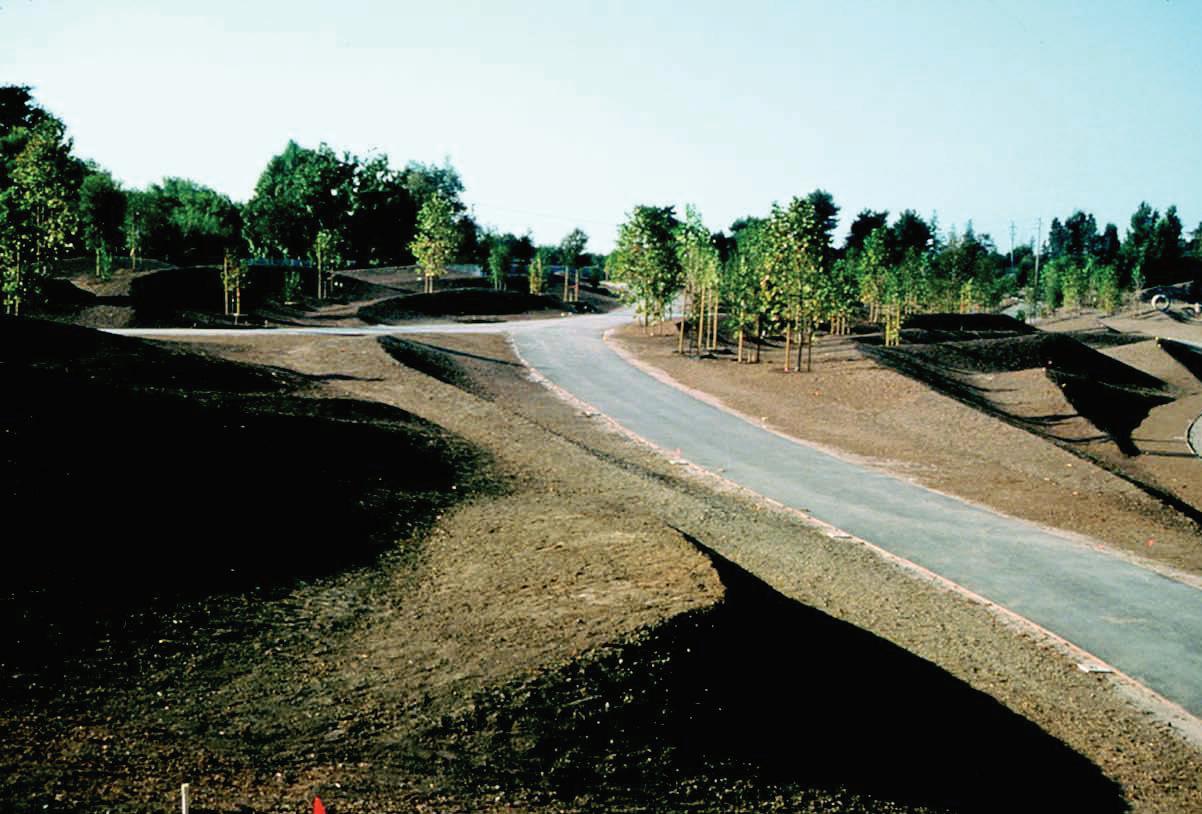
Wavefield by Maya Lin University of Michigan North Campus
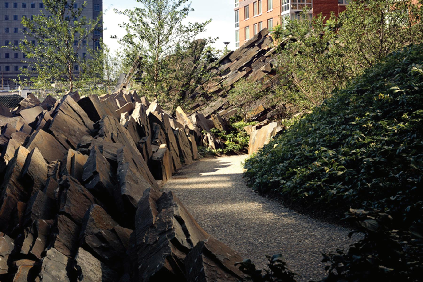
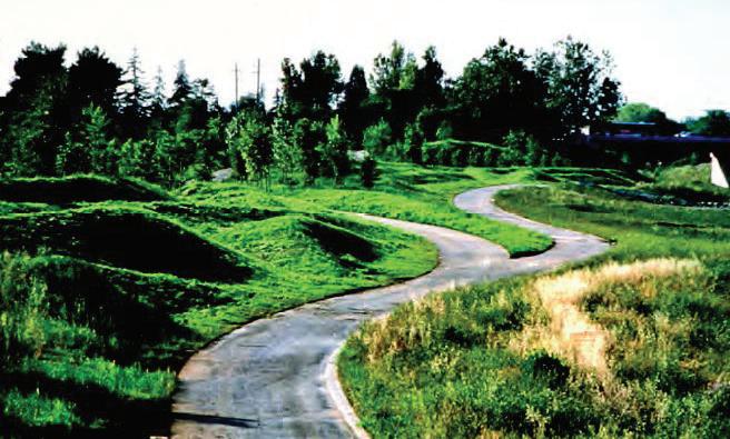
Teardrop Park by Michael Van Valkenburgh Associates Battery Park City, New York
CHAPTER I
Bexley North
Bardwell Park
Turrella
Wolli Creek Train Station
Arncliffe Train Station
Banksia Train Station
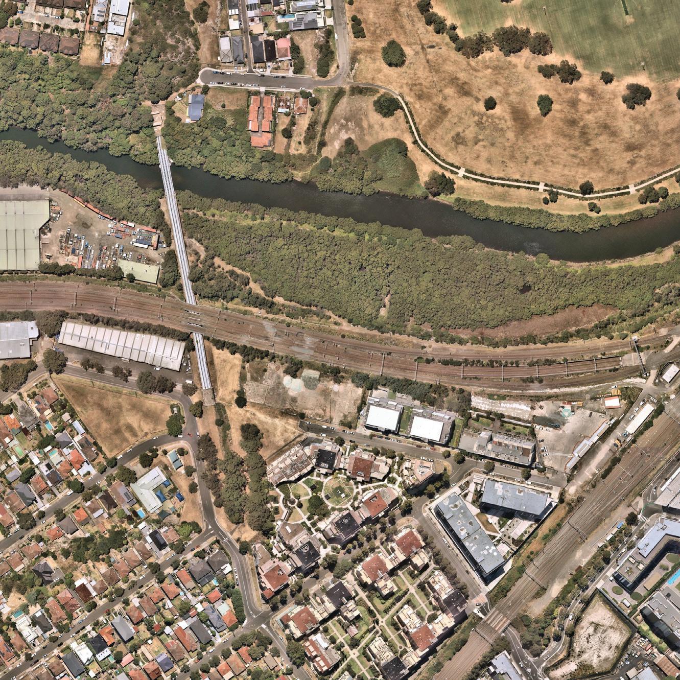
Context
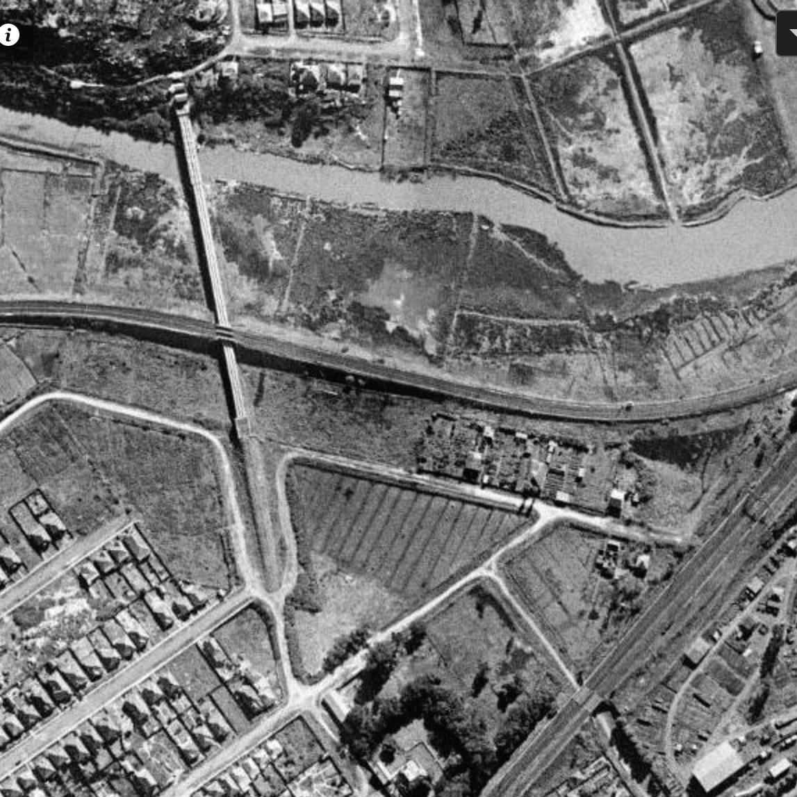
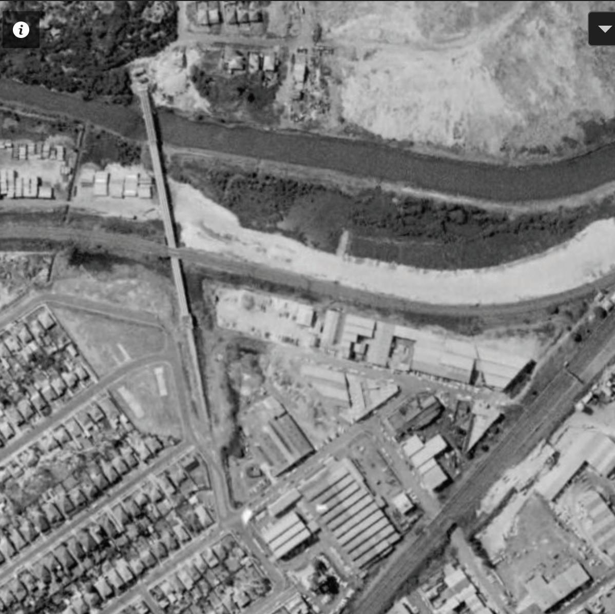
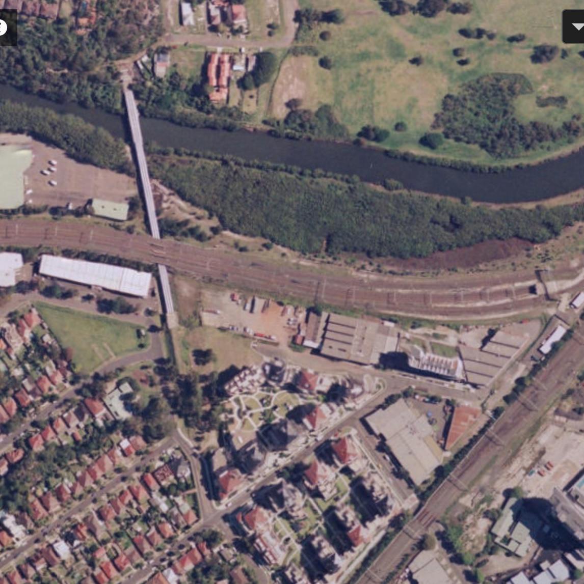
NSW Government Historic Imagery Viewer and NEARMaps
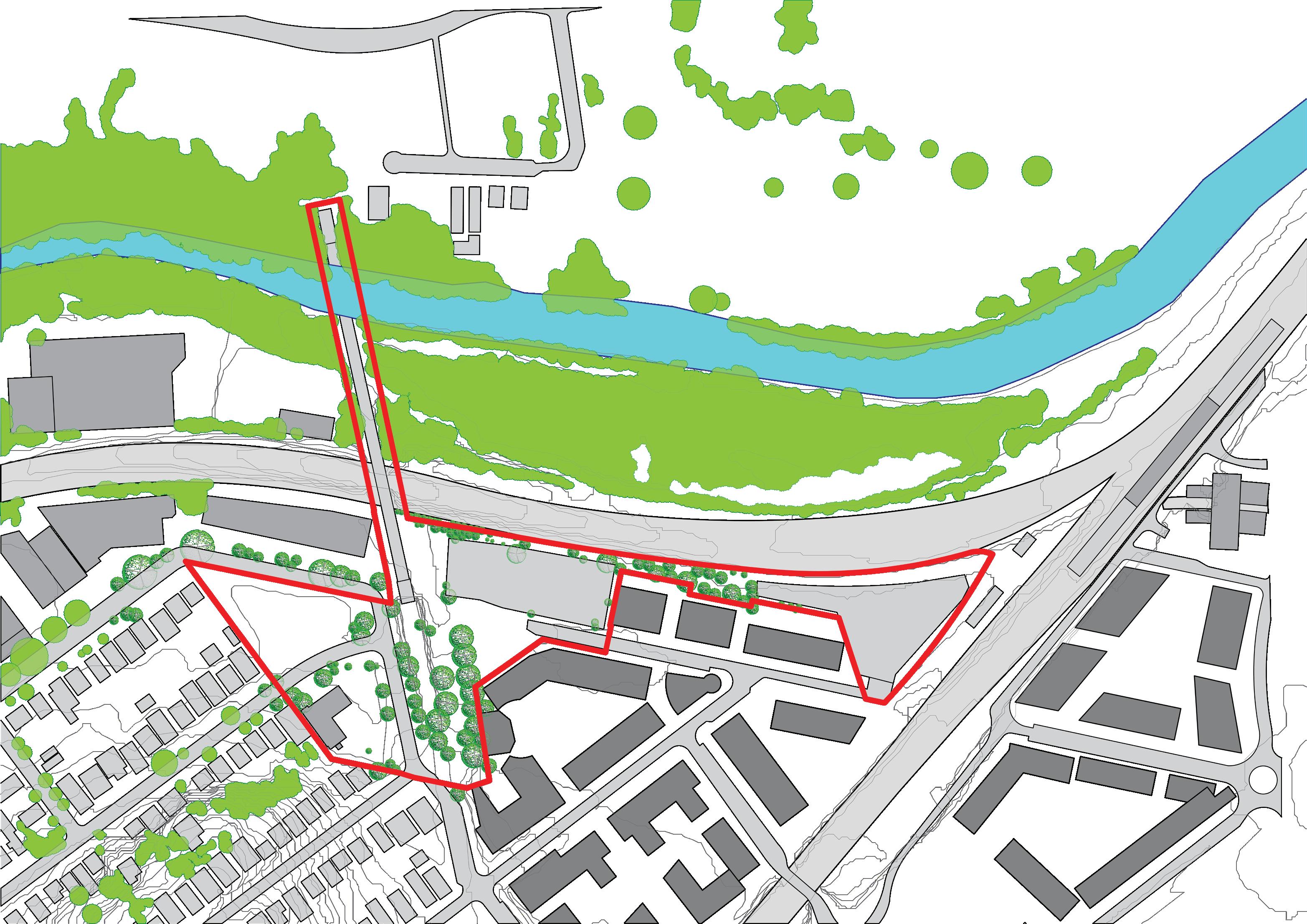
Site Boundary
Subsequent changes in built environment
Subsequent changes in vegetation communities and canopy cover
Farmlands along Wolli Creek produce food and sell fresh product at a farmer’s market across Wolli Creek. However, street network is also established for existing houses and for future growth.
60% of site area was converted to industrial use, 15% consists of the sewage aqueduct, and remaining 25% is green open space. Mangrove growth is observed along Wolli Creek.
Industrial area to the SE of the site was converted to high-rise residential, freeing up space for green infrastructure.
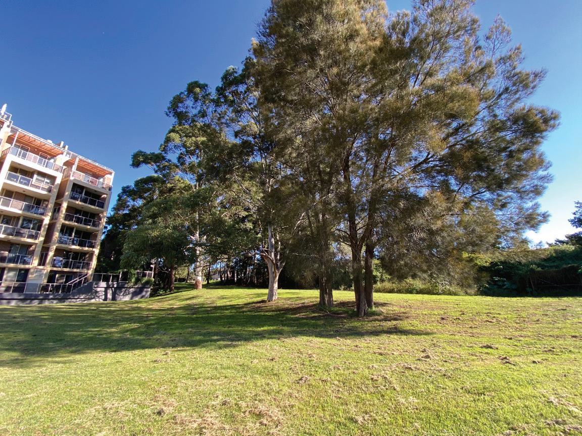
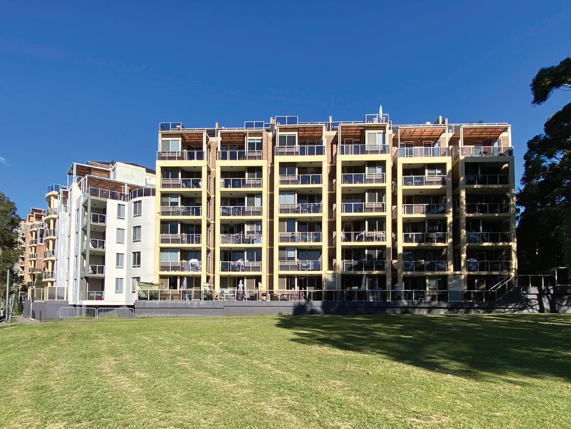
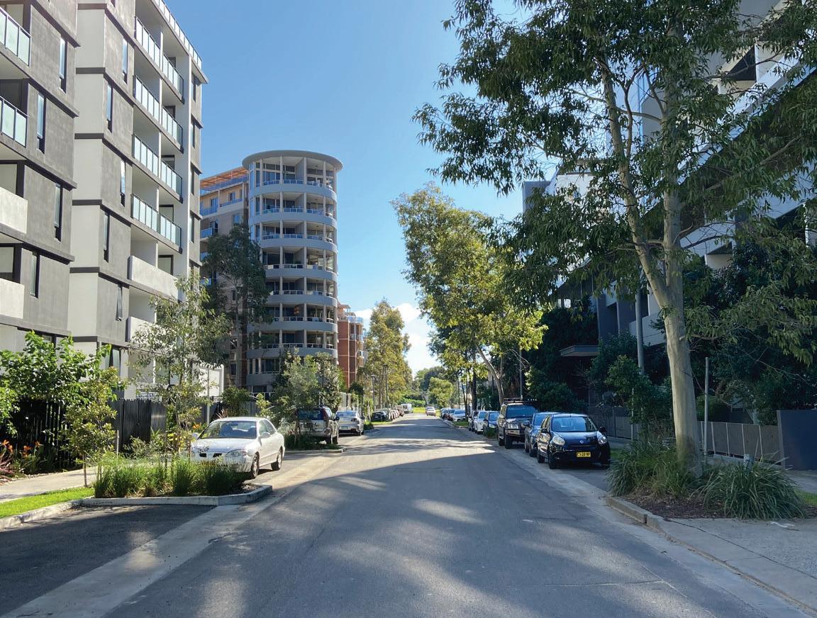
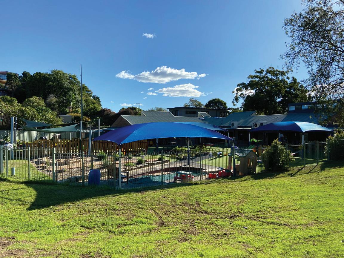
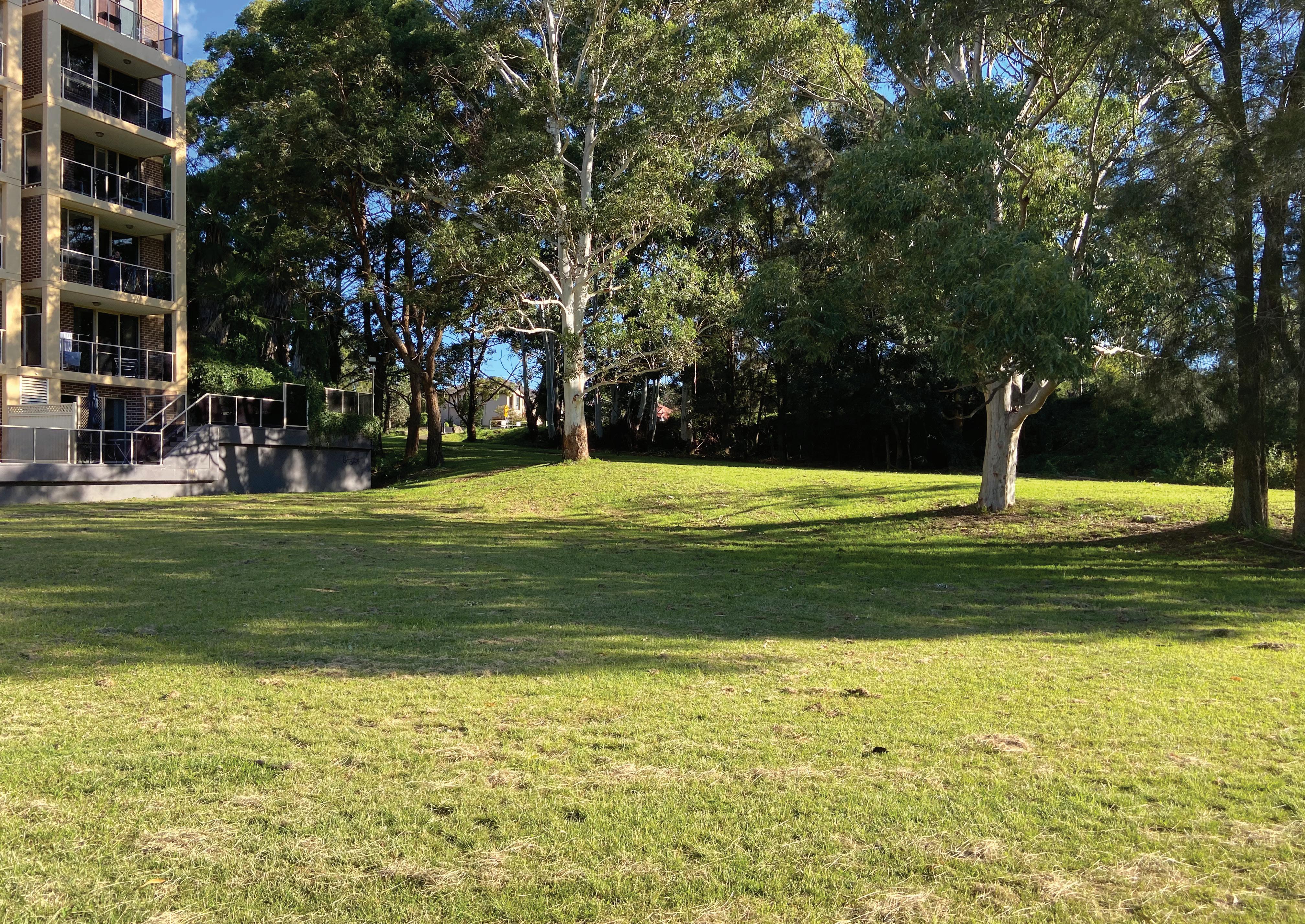
Current condition of site and surroundings.
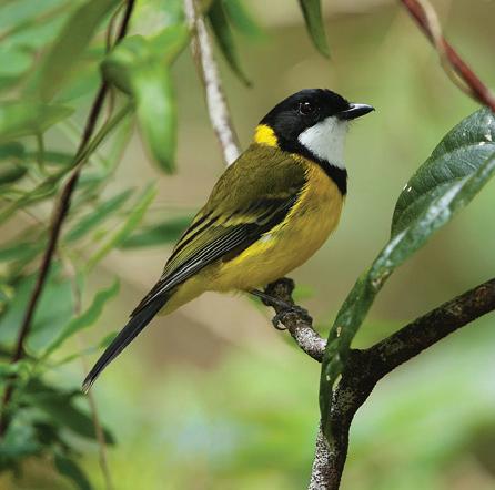
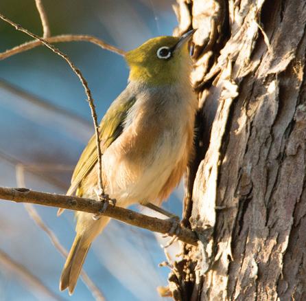
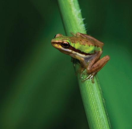
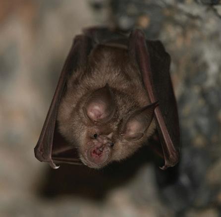
Recorded Fauna species
Rockdale Biodiversity Strategy Volume 1 and 2.
Green & Golden Bell Frog Australian Microbat Grey Headed Flying Fox
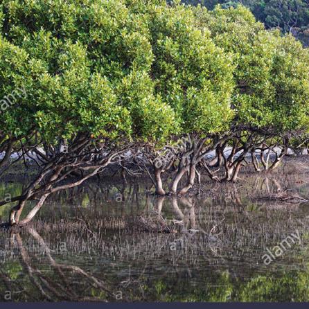
Grey Mangroves
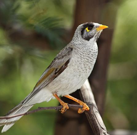
Noisy Miner
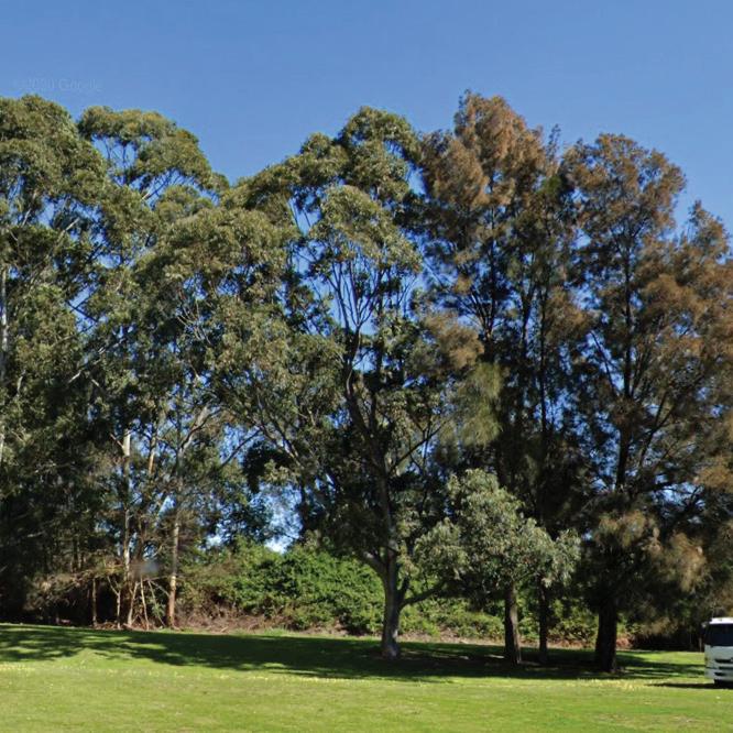
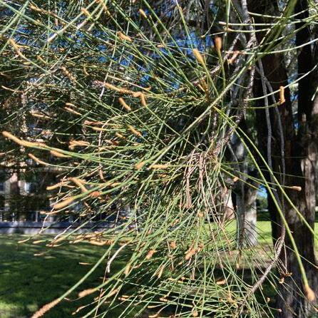
Eucalyptus species
Casuarina equisetifolia
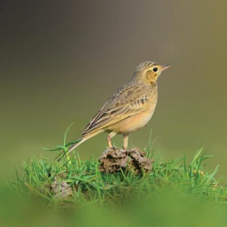
Golden Whistlers Silver Eye Pipits
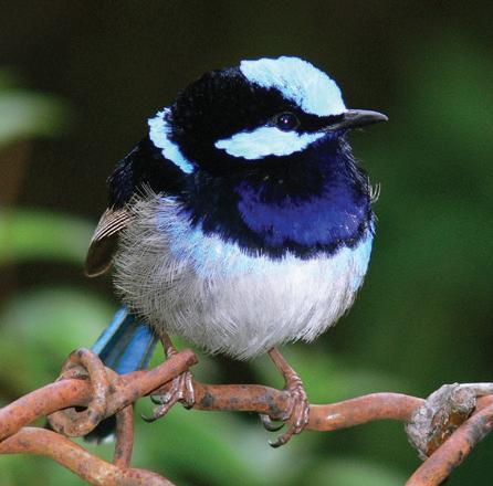
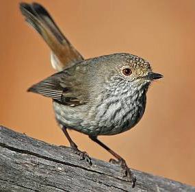
Superb Fairy Wrens Australian Thornbills
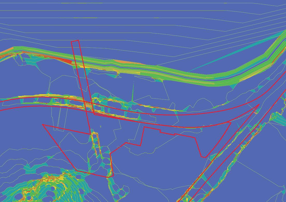
Site Flood Analysis
• Flood water enters the site from under the railway tracks and from before the railway mound starts, which is as shown in the image.
• Intervention like flood wall and/or a well designed stormwater system is required to cater to this large quantity of water.
Water flows in from under the sewage aquaduct, and is retained due to topography
Street Flooding Street Flooding
Flood water flows into the site from under the archway of the aqueduct’s built mass
Flood water retention Needs more impervious surfaces and well designed stormwater drainage
Retention only due to impervious surface, which can be avoided by design interventions
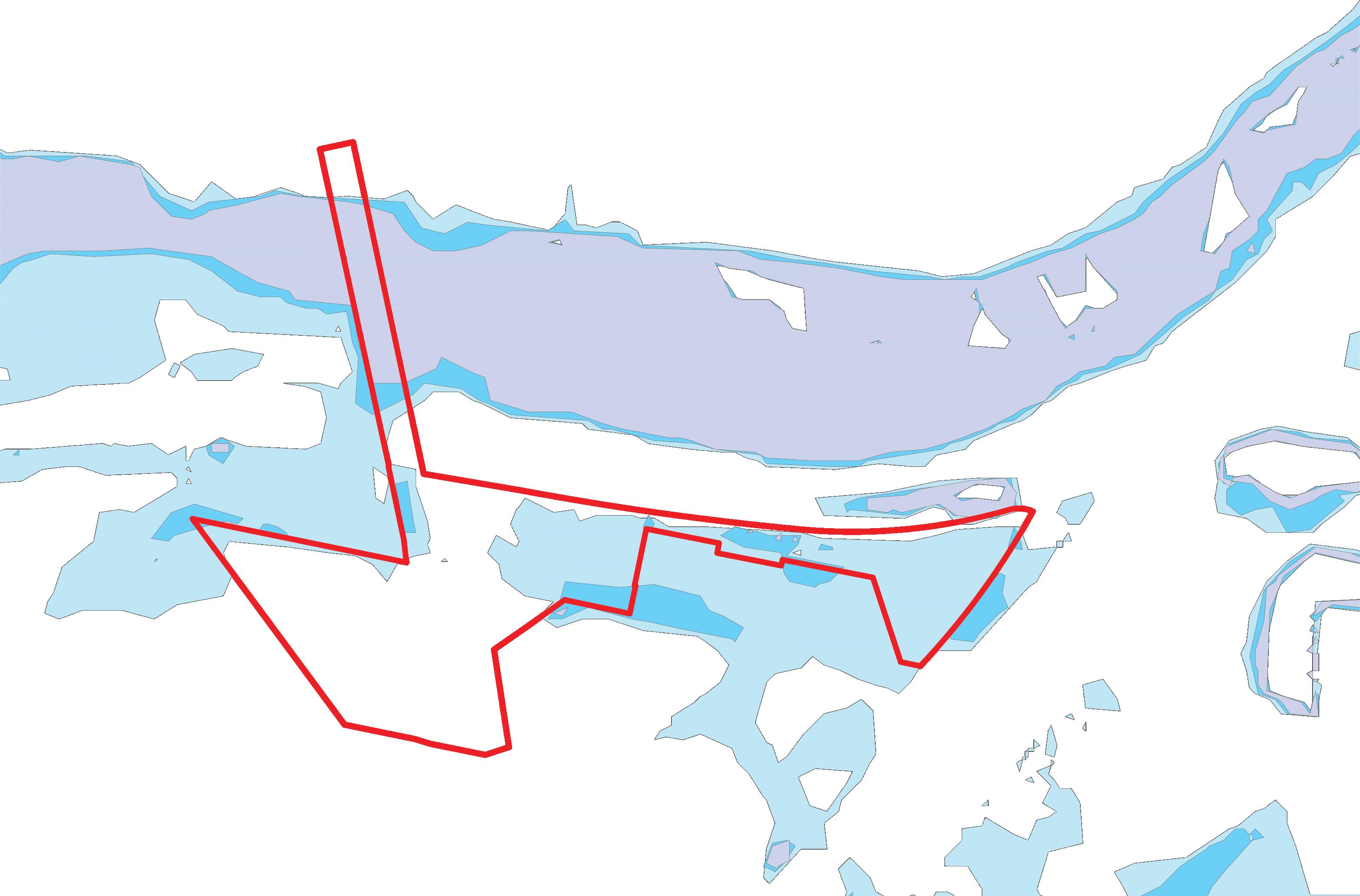
Site Topography Analysis
Area to address while designing
• 80% of the site is gently sloping with a slope of 10% or less.
• Balance 20% is where the mound is located which is an extension to the sewage aqueduct.
• The mound seamlessly merges with the surrounding terrain but has a slope of 75% to some areas with a more than 100% slope.
• This creates a barrier on the eastern side of the site, similar to how the mound on which the train line runs in the north.
• Slope across the train line is in northern direction towards Wolli Creek, where excess surface water merges with Wolli Creek.
Turrella Train Line
Wolli Creek
Conditions
• Edges with residences need to be carefully resolved to avoid peeping.
• Street edges need to be carefully resolved to avoid accidents.
The sewage aquaduct has served as an integrated system for Sydney and its suburbs since 1895 and is still in use. It is the only direct connection to biodiversity rich mangroves along Wolli Creek across the train tracks.
Protected Mangrove Forest demarcated for conservation strategies
Mangrove Vegetation
Waterworth Park
Train Tracks to Turrella North, Bardwell Park and south.
Wolli Creek
Train Tracks to Wolli Creek, Arncliffe and south.
Wolli Creek Station
Creek
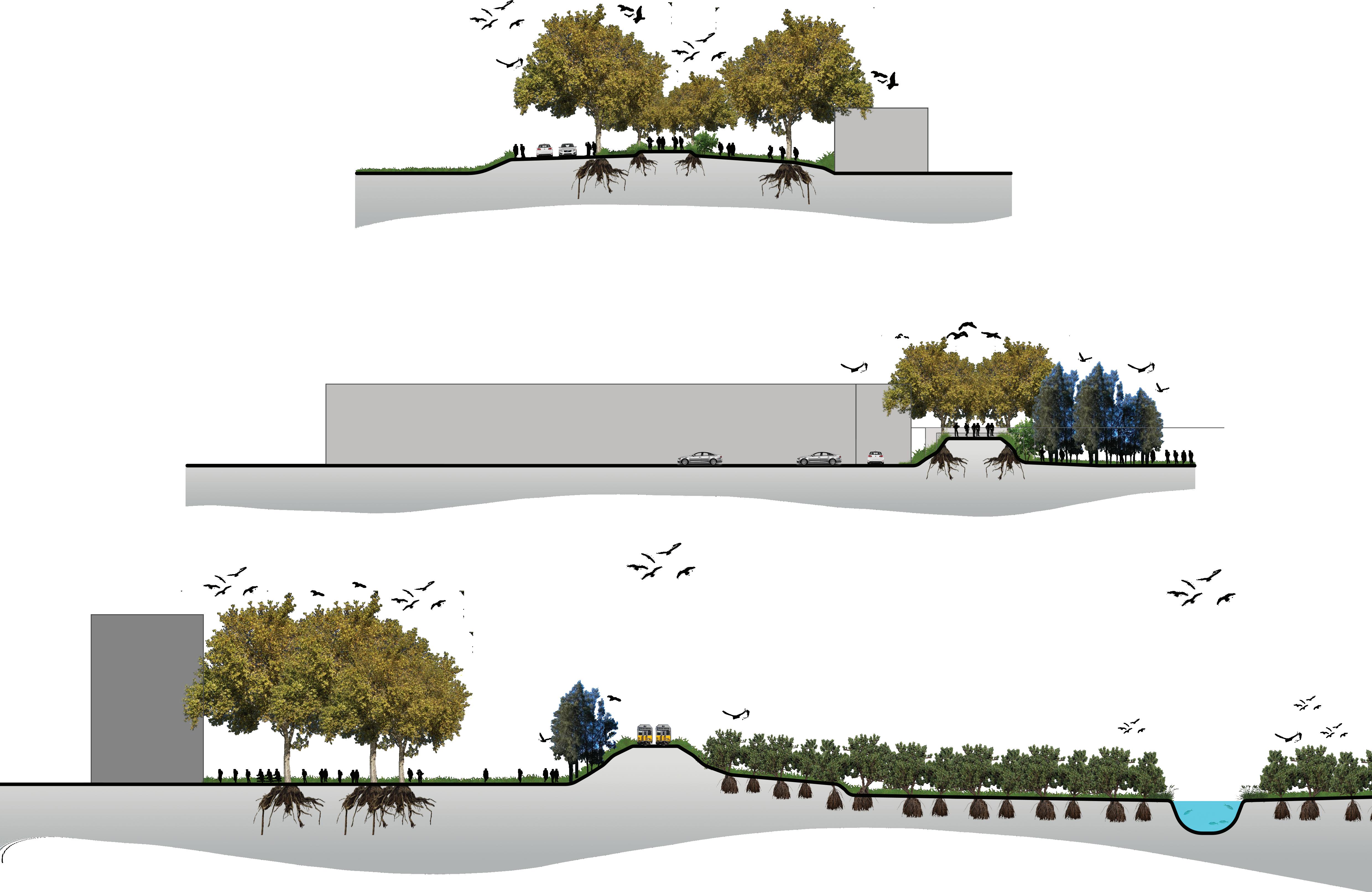
Section A Day Care Centre
Sewage Aqueduct Mound Lusty Street Reserve
High-rise residential
Section B
Industrial Block
Sewage Aqueduct Mound
Lusty Street Reserve
Section C
High-rise residential Eucalyptus in Lusty Street Reserve
Train Line
Protected Mangrove Area
Wolli Creek
Context
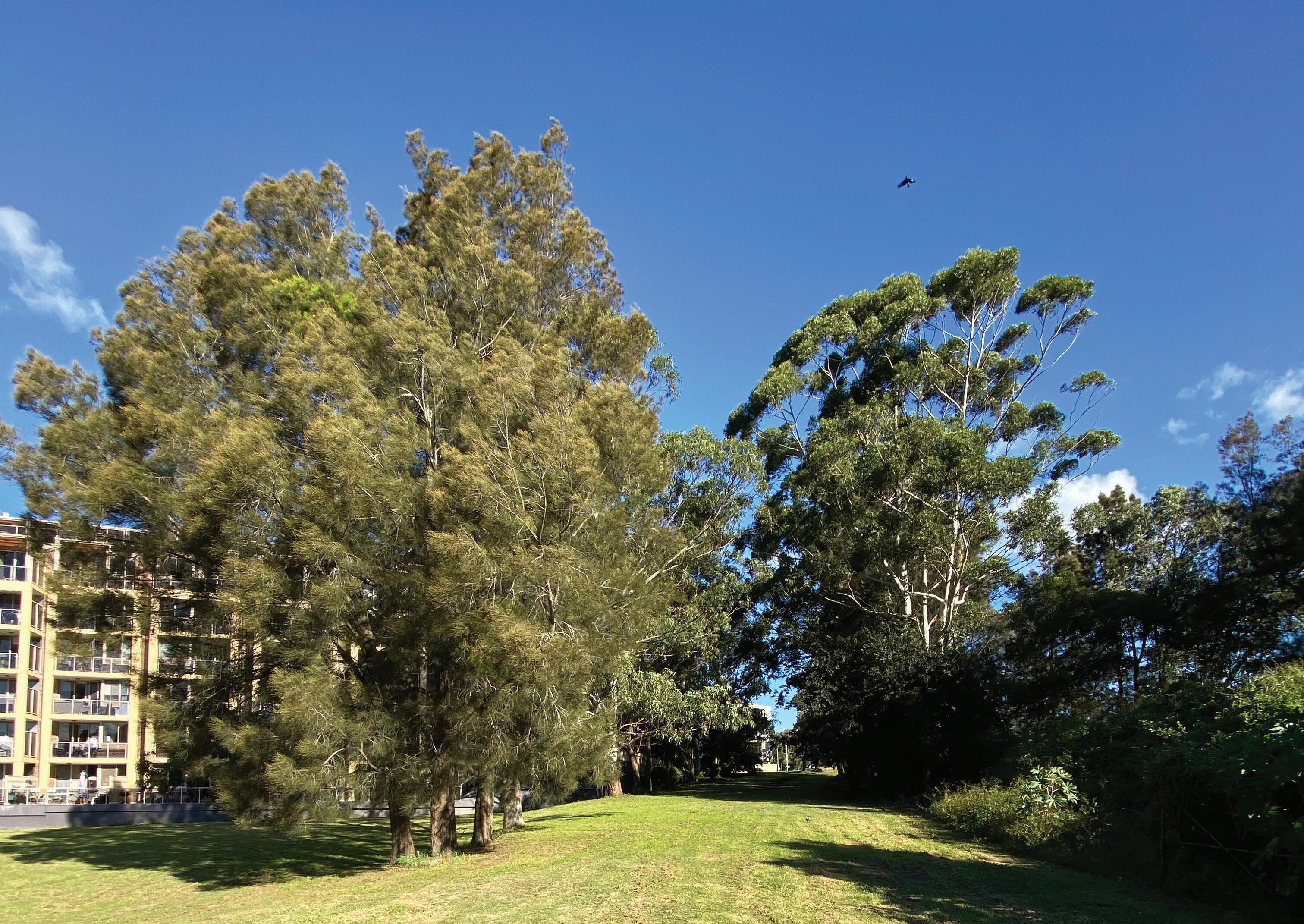
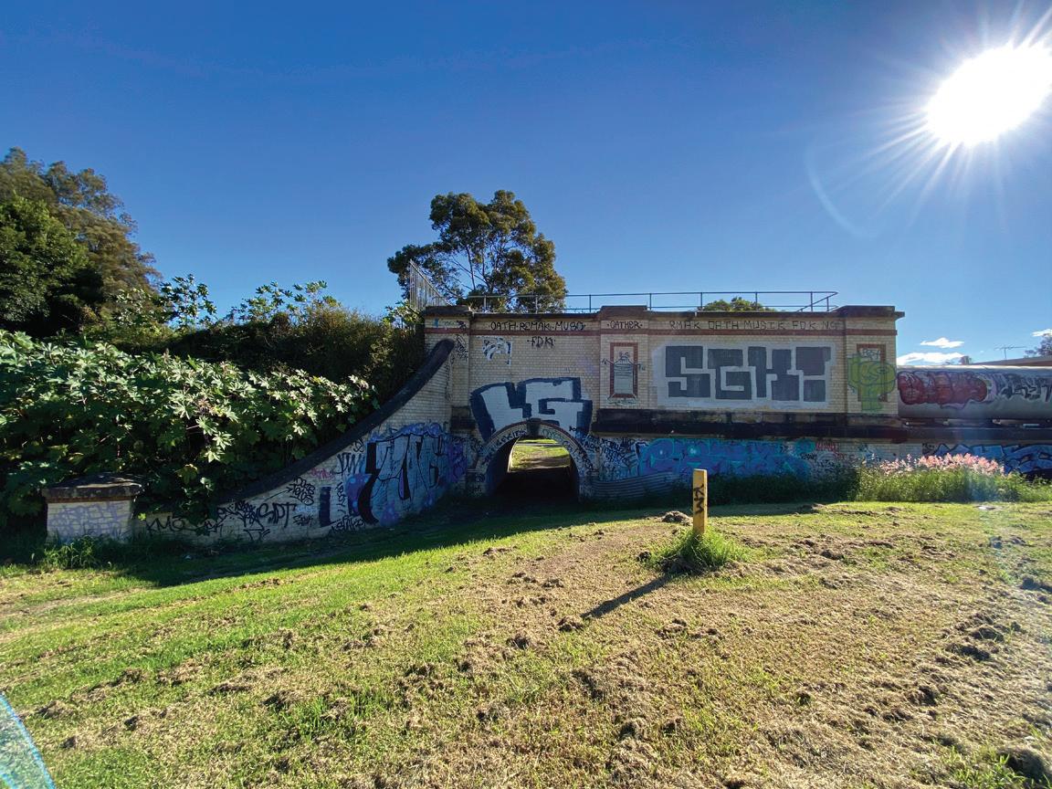
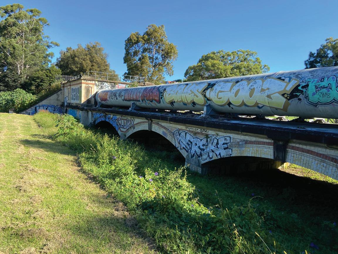
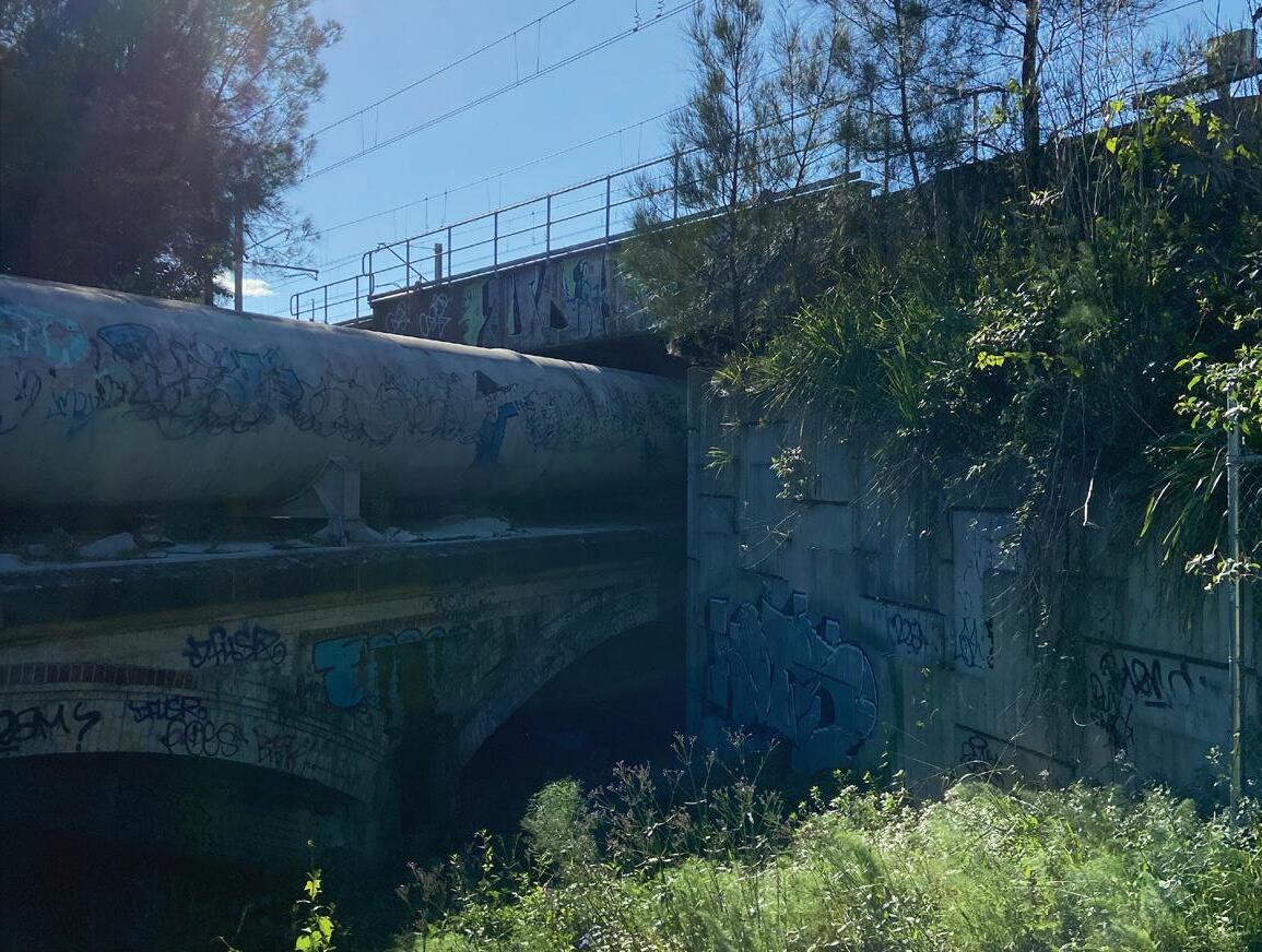
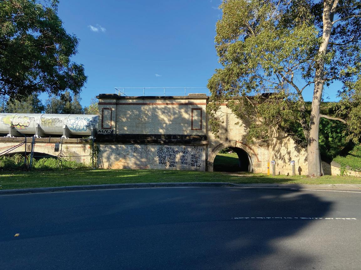
Existing Site Condition Images
1. Graffiti on the eastern side due to low surveillance of the space.
2. Brick structure with segmental arch supports that can be a design highlight.
3. Narrow connection for people across train tracks through this tunnel.
4. Brick structure as support for sewage pipes with a conneciton to the site.
5. Mature Eucalyptus trees in one line create shade as well as a feature.
6. G+5 apartment blocks that overlook the site and Wolli Creek.
7. Well-designed street infrastructure leading to the site.
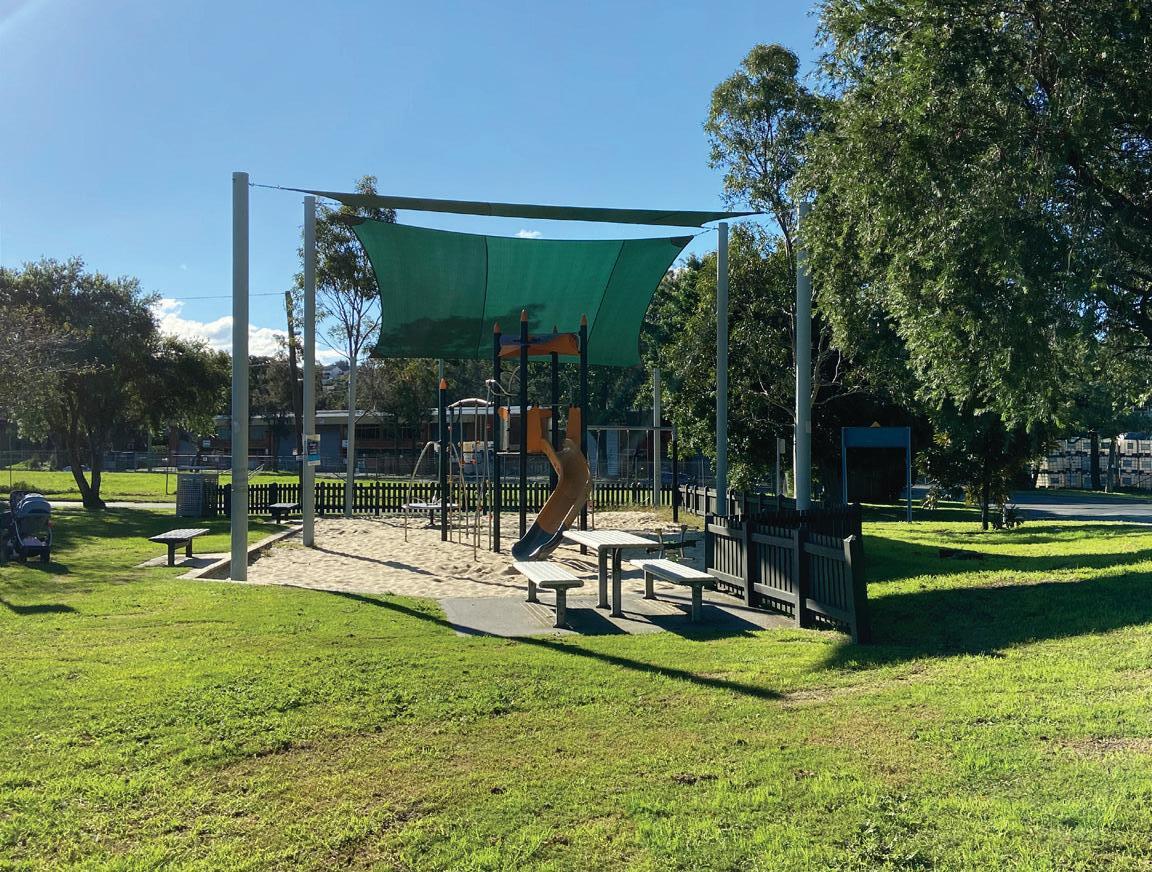
8. Day Care Centre that provides play equipment, but not nature play.
9. Public play equipment just outside Day Care Centre boundaries.
Image
Image
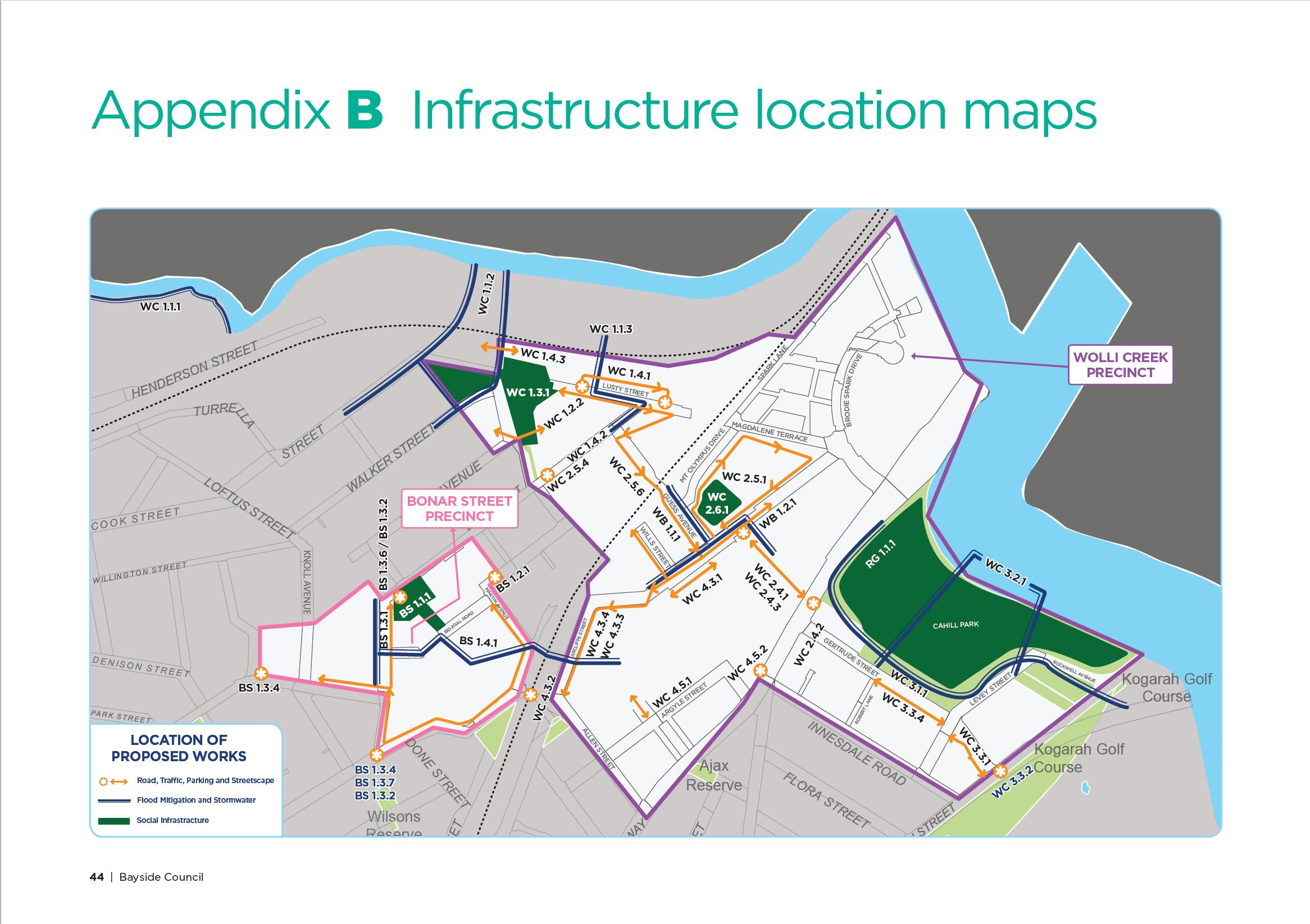
Wolli Creek and Bonar Street Precincts Urban Renewal Area Contributions Plan 2019
CHAPTER II
Precedents
Wavefield by Maya Lin Guadalupe River Park by George Hargreaves
University of Michigan North Campus, Ann Arbor, Michigan, USA San Jose, California, USA
Precedents
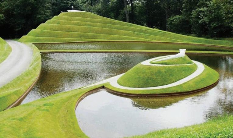
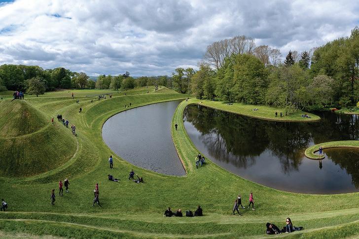
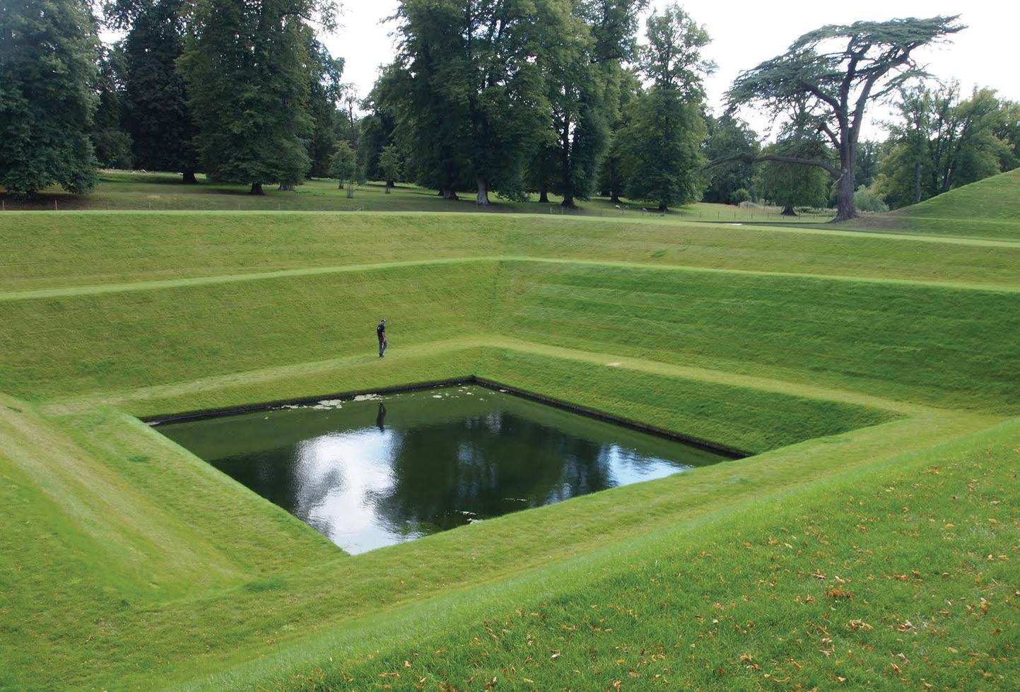
Garden of Cosmic Speculation by Charles Jencks
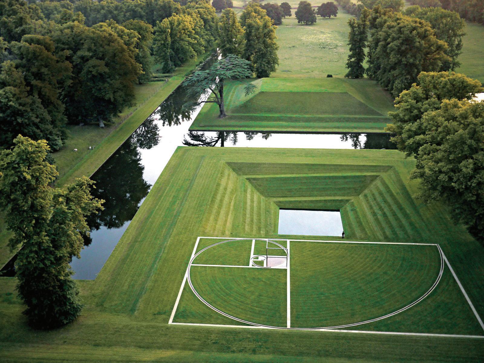
Orpheus by Kim Wilkie
Portrack House, in Dumfriesshire, Scotland
Boughton House, Northamptonshire, London
CHAPTER III
Key Principles and Strategies
Provide recreational opportunities that connect to Wolli Creek Strategies
1. Connect people to the mangroves and across Wolli Creek via a tunnel from under the train infrastructure.
2. Provide education and recreational opportunities, sustainability and ecology related lessons, nature-based activities for all.
3. Utilise renewable energy sources to create a safe environment for the local community and visitors during nights.
4. Utilise abstract sculptural landform to stimulate a variety of recreational responses.
Provide a sequence of enhanced visual experiences throughout the site Strategies
1. Create a plant palette that stimulates a positive visual experience.
2. Plant species that enhance your visual experience (e.g., flowering and coloured leaf shrubs.)
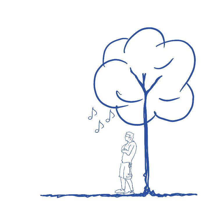
3. Planting species that enhance your auditory experience. (e.g., creaking bamboo, whistling tree)
Flood Mitigation and Stormwater Drainage Infrastructure Strategies
1. Provide flood protection by utilising landform design and flood retention walls.
2. Implementation of underground drainage, bioswale, rainwater harvesting trap and other strategies to prevent property damage.
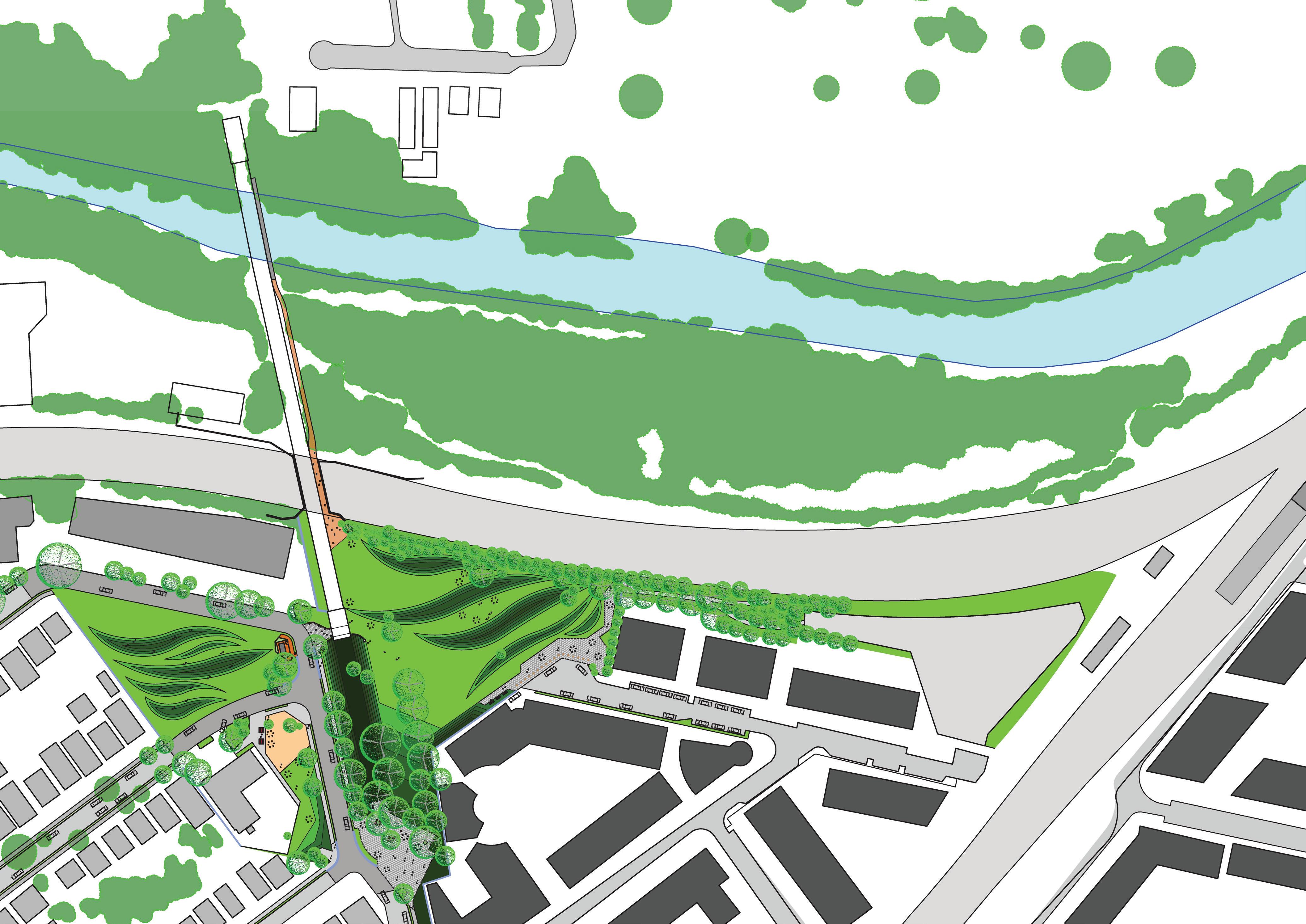
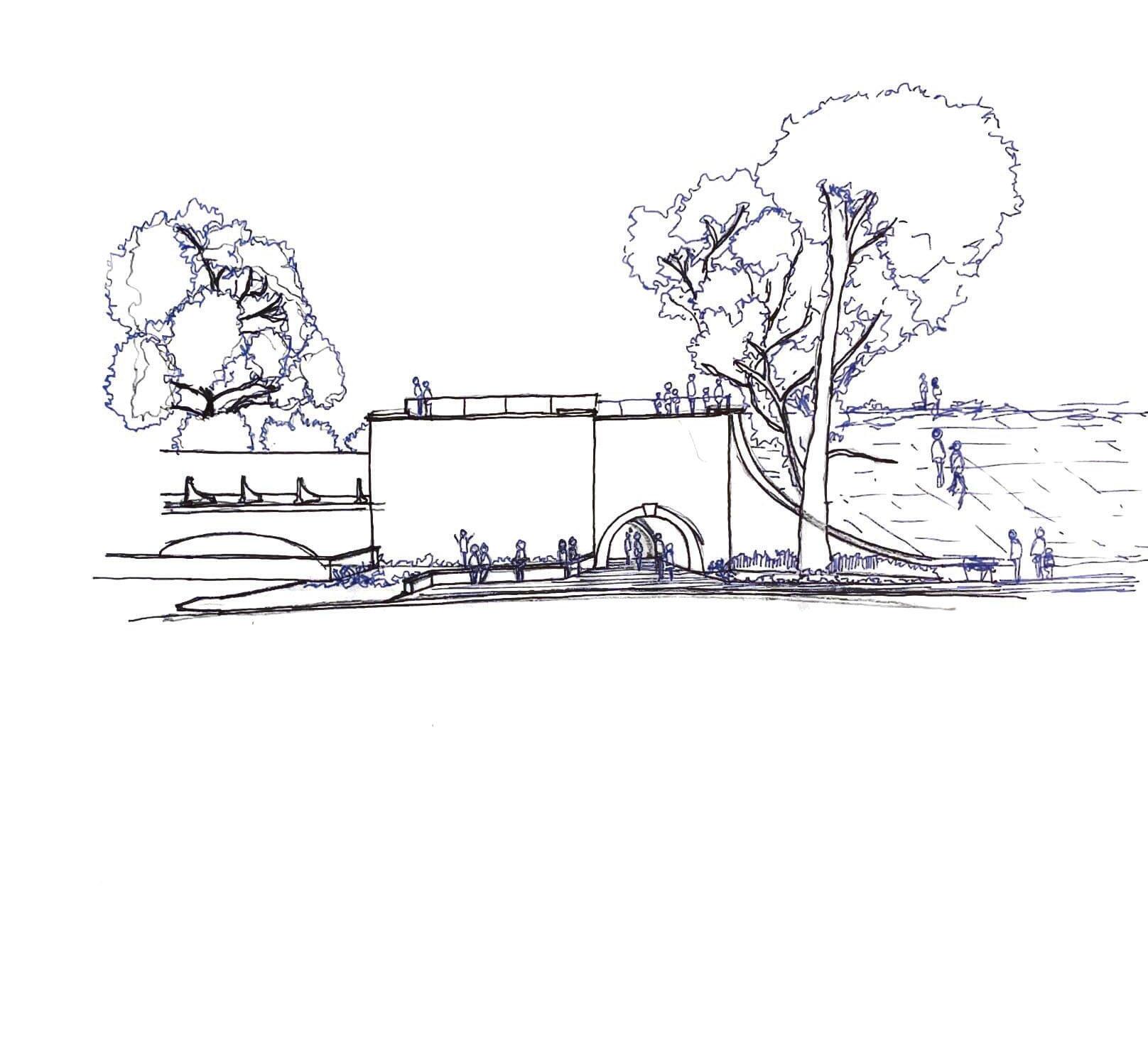
Design Strategies
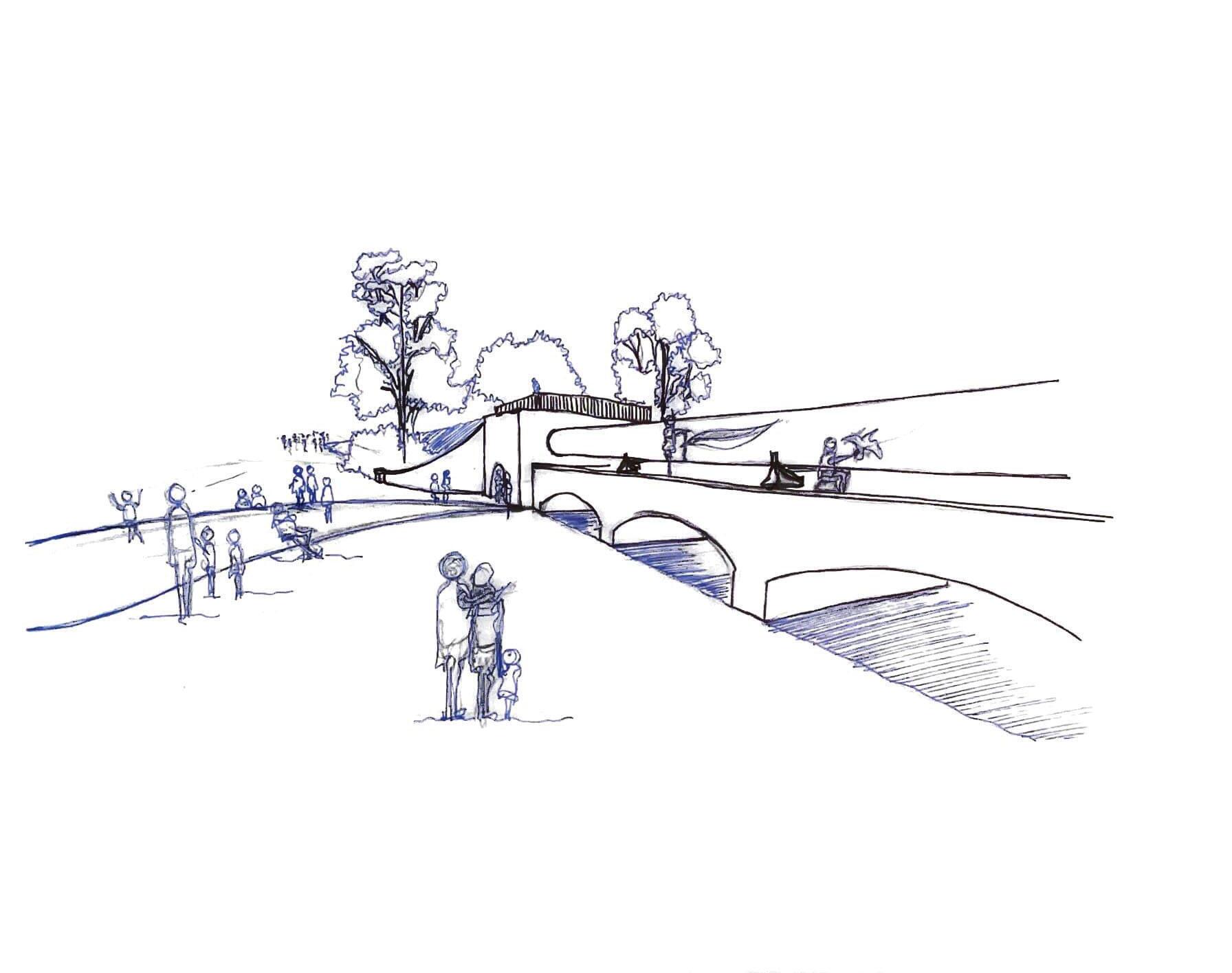
Underground connection to Wolli Creek Station
Train Tracks
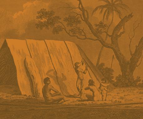
Pemulwuy – the leader
The Bidjigal clan is inseparable from its leader Pemulwuy (a name derived from ‘bimul’ meaning ‘earth’) who, in December 1790, ambushed and fatally speared Governor Phillip’s game hunter, John McEntire.
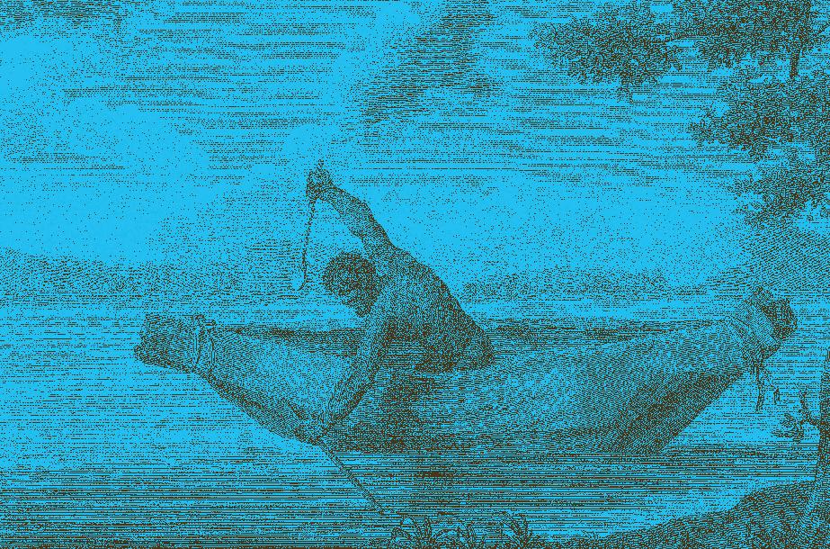
Samuel John Neeles’ engraving of ‘Pimbloy’ is the only known image of Pemulwuy. resemblance is thought to be striking by those who have seen him,’ wrote James Grant, captain of the sloop Lady Nelson.
Pemulwuy became a formidable resistance leader. In 1797, following a battle in Parramatta, he escaped after having been filled with buckshot and was described as one that ‘No gun or pistol can kill’. Governor King outlawed Pemulwuy in 1801, offering spirits and other rewards for his capture ‘dead or alive’. Pemulwuy was shot dead on 2 June 1802.
He was decapitated and his head, preserved
Illustration of traditional landowners of Wolli Creek
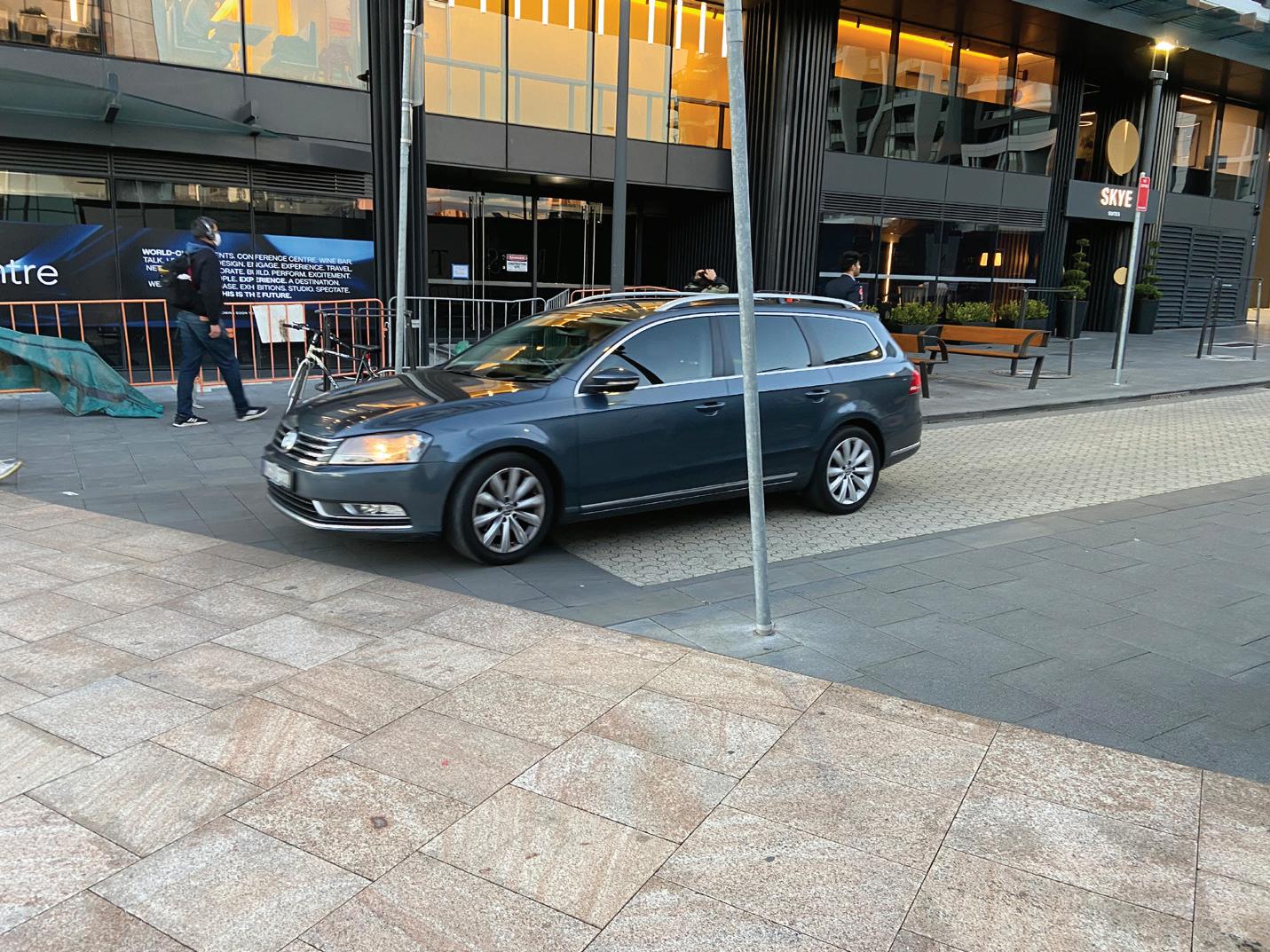
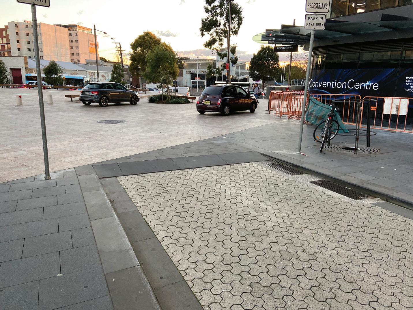
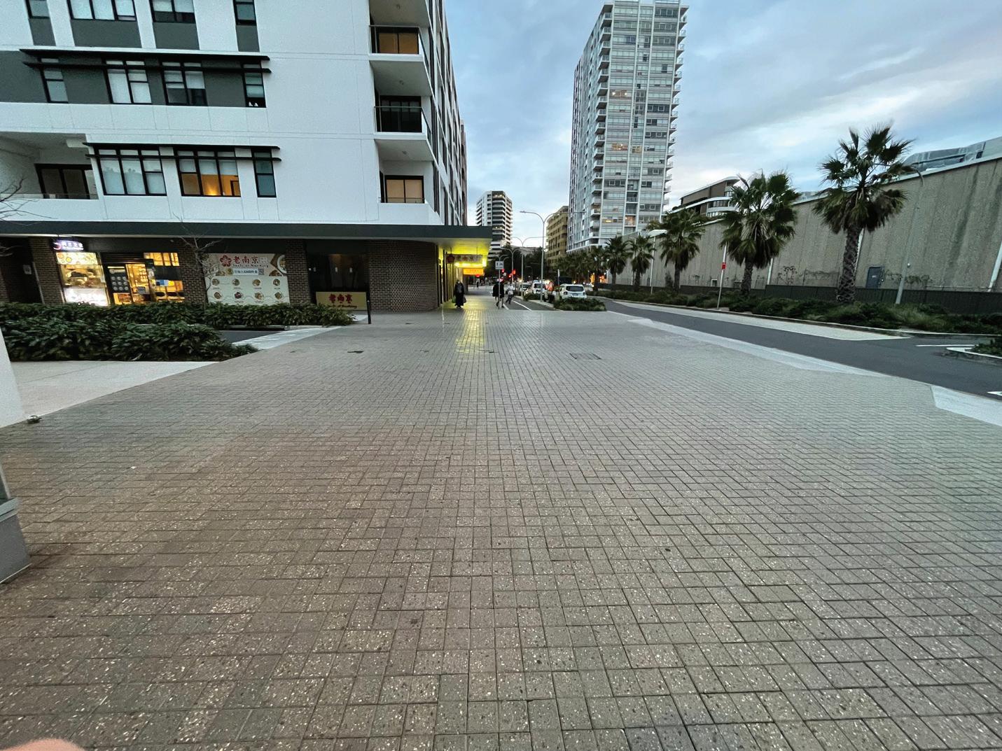
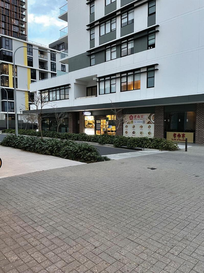
Pedestrian and Vehicular shared road in Green Square
Pedestrian and Vehicular shared road in Green Square
Pedestrian and Vehicular shared road in Zetland
Pedestrian and Vehicular shared road in Zetland
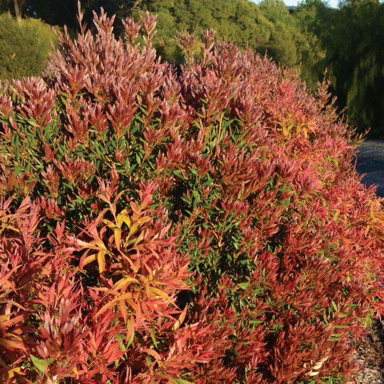
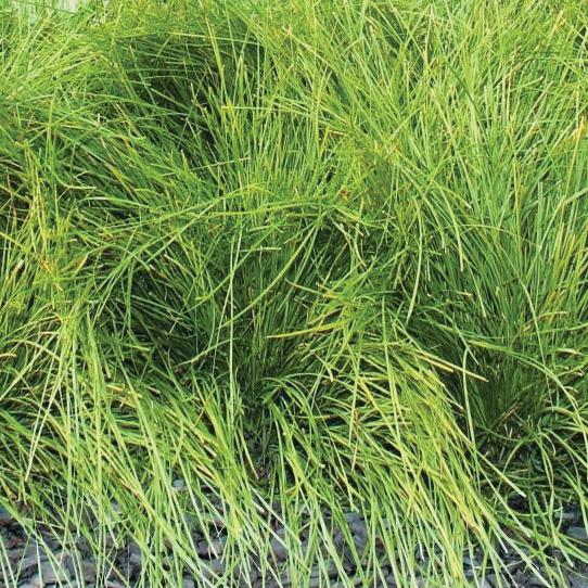
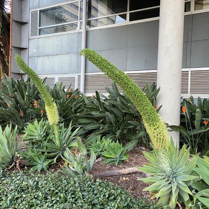
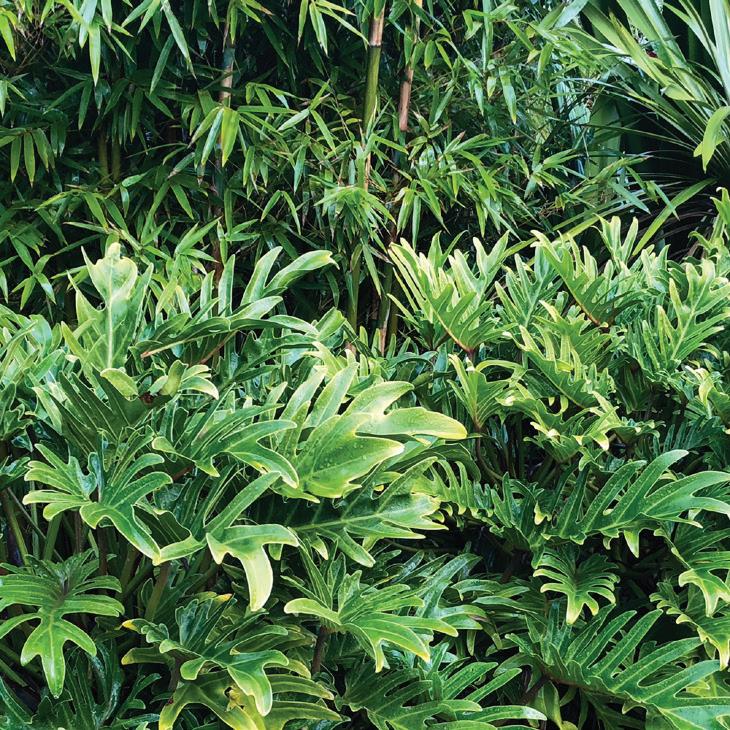
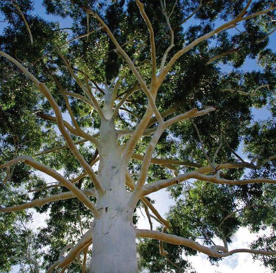
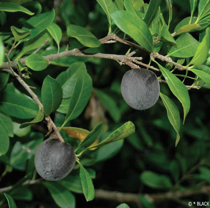
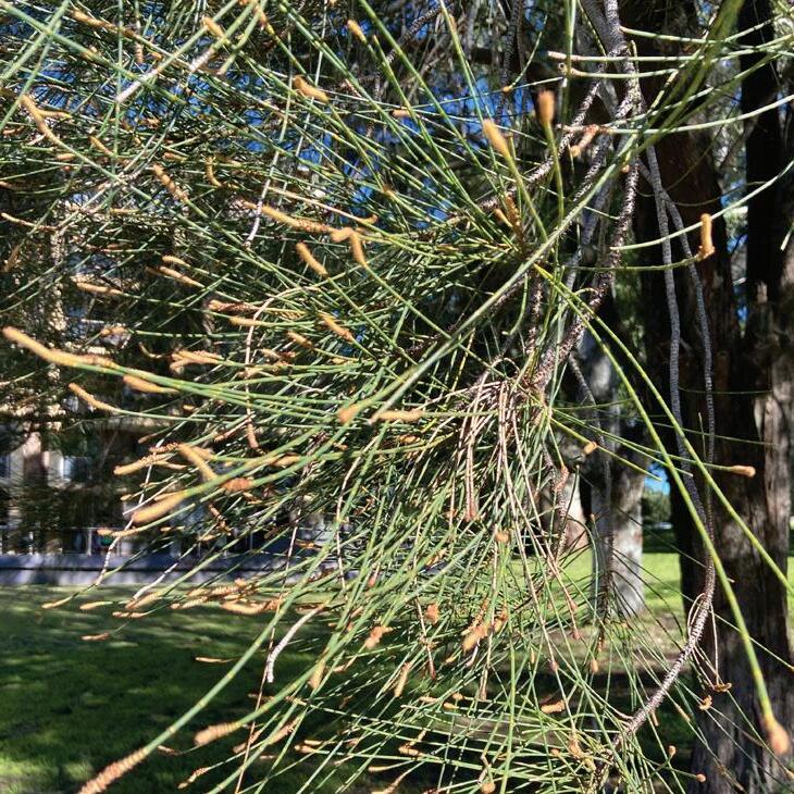
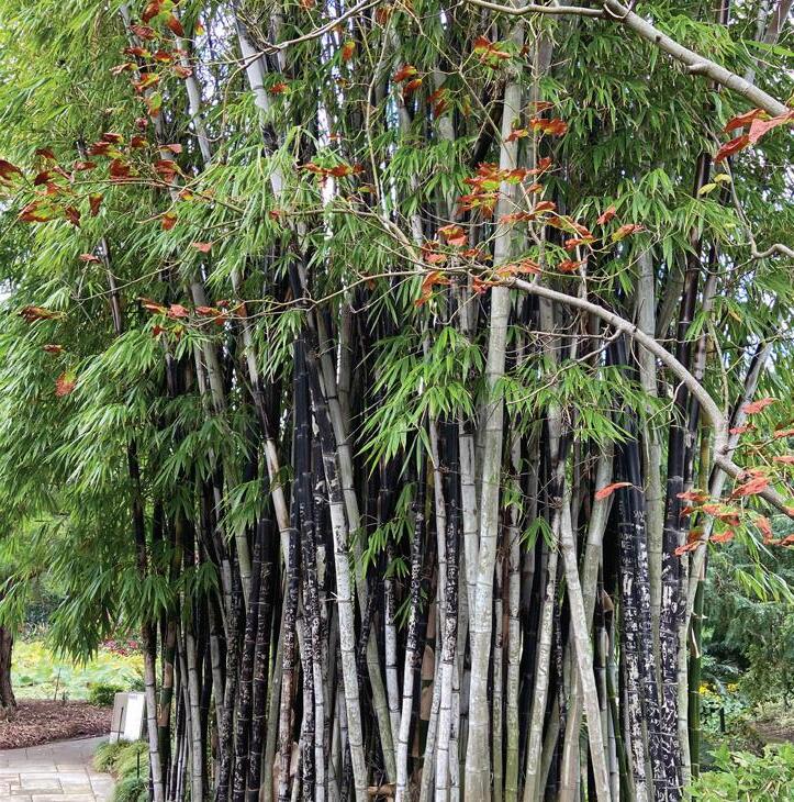
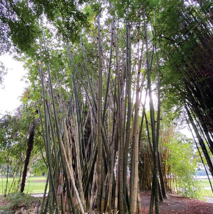
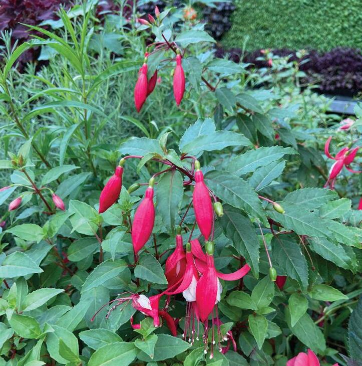
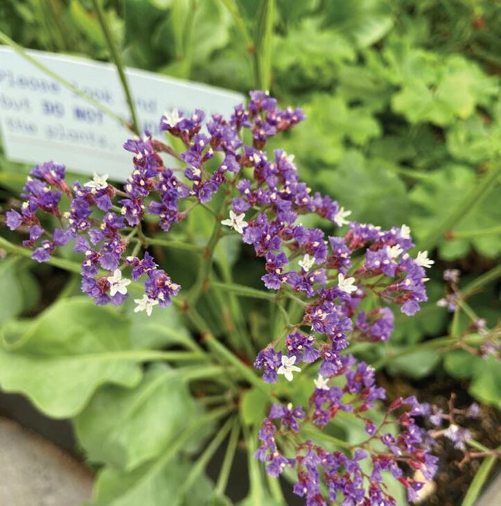
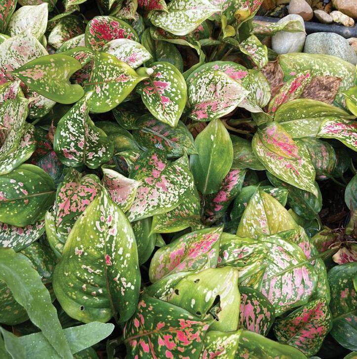
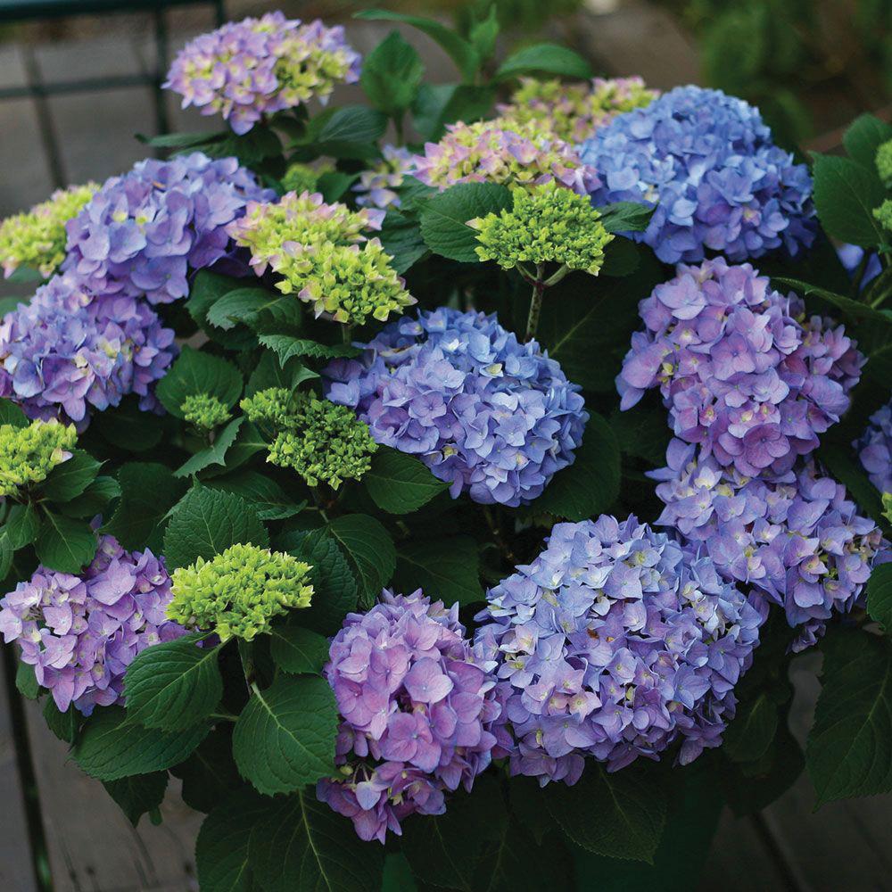
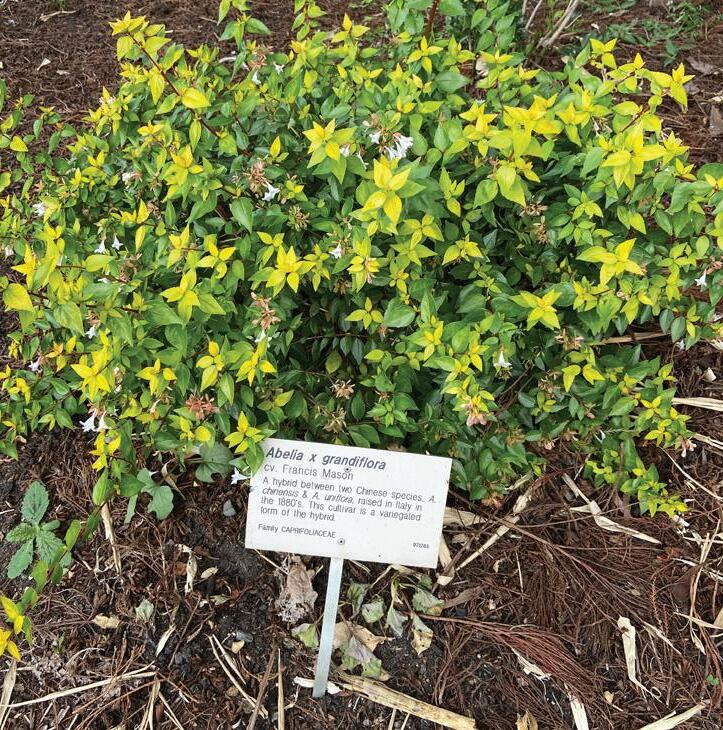
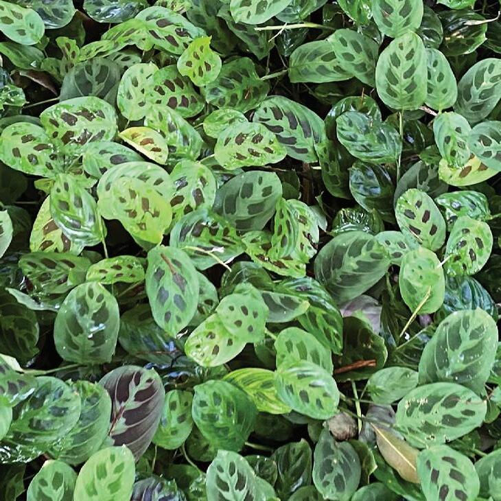
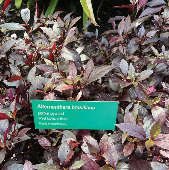
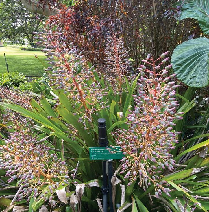
Planting Proposal
Planting for site is proposed with 80% Australian Native Species and balance ornamental non-native species for varied visual experiences, planted according to their solar requirements.
Callistemon salignus ‘Great Balls of Fire’
Lomandra labill.’LM600′ PBR Evergreen Baby
Philodendron xanadu
Agave attenuata (Fox Tail Agave)
Eucalyptus robusta
Dendrocalamus latiflorus
Eucalyptus grandis
Fuchsia magellanica
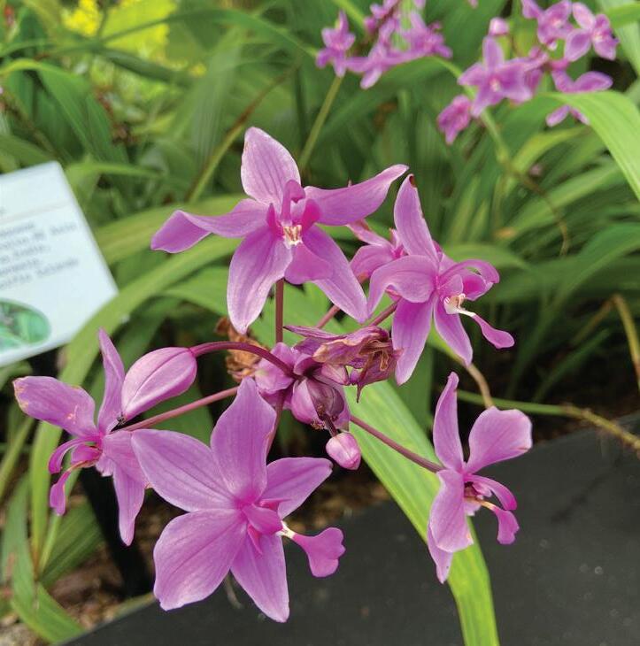
Spathoglottis sp. (purple orchid)
Cassurina sp.
Abelia x grandiflora
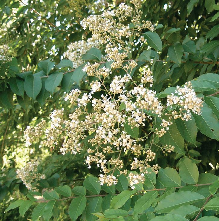
Lagerstroemia subcostata var. orientalis
Alternanthera brasiliana
Pianchoneila australis (black apple)
Limonium perezii
Aglaonema commutatum (philippines evergreen)
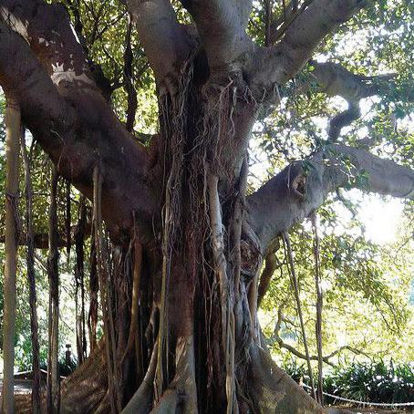
Ficus macrophylla f. columnaris
Maranta leuconeura
Bambusa oldhamii (creeking bamboo)
Portea petropolitana var. extensa
Hydrangea macrophylla
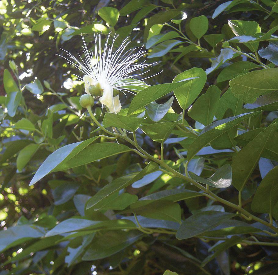
Capparis arborea
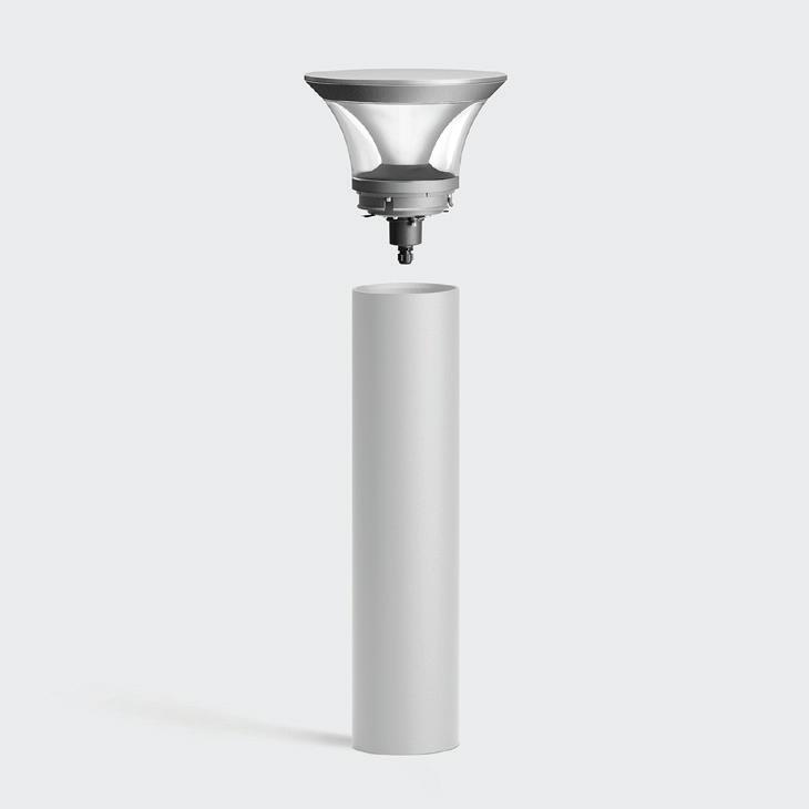
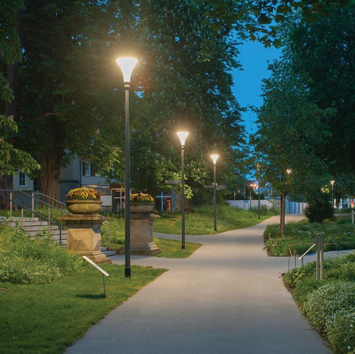
Design Lighting Proposal
Lighting for site is proposed with both solar-powered as well as regular lighting fittings but with LED IP65 rating. Site access points will be installed with maximum fittings for visibility. The inner sections will be installed with area-lights spaced out and with a low-light feature for local habitat consideration and energy-saving.
Frame
Landforms generated as a response to flooding and for recreational purposes.
Perennial and seasonal flowering species planted around the mound.
Regular maintenance, once every fortnight in summers and once every month in winters.
Maintenance of the designed landscape by pruning shrubs, irrigation, and trimming the grass over gently sloping landforms, to avoid overgrowth.
A possibility of overgrowth due to lack of maintenance of mound.
In this case, the landforms will be planted over with flowering and/ or coloured leafy species to evolve the landscapes’ visual factors.
A drastic reduction in social and physical recreational engagement.
A possibility of completely flattening the landform to create space for a standard equipment-based playground area for children, young and the elderly.
Why? Ease in maintenance of the designed landscape.
Design
Landscape Performance
Economic Performance
Benefit Description Method
Property Value Change in assessed value of nearby properties. This change might occur in phases when the park is under development and completed.
Economic Development Establishment of new businesses nearby and the existing businesses observe an expansion in sales.
Environmental Performance
Can be assessed by accessing property tax collected by government.
Can be assessed by accessing sales data from each business.
Benefit Description Method
Water Conservation Reduction in water use associated with plant selection.
Stormwater Management Reduction in annual volume and percent of total runoff retained on-site. Annual volume of water redirected through stormwater drainage system during flooding.
Energy Use Reduction in annual energy use due to renewable sources.
Reused and Recycled Materials
Social Performance
Can be assessed by checking and comparing existing water flow data with improved water flow data.
Compare annual rainfall data with stormwater drainage system data including groundwater recharge.
Compare existing and improved energy data.
Cost-saving for reusing on-site materials. Improving environmental impact by using recycled materials for construction. Compare labour, transport cost and carbon footprint to get an estimate.
Benefit Description Method
Health and Well-Being Improvement in mood, workplace satisfaction and quality of life.
Noise Mitigation Percent reduction in perception of undesirable noise.
Recreational and Social Value Design of landsacped space to engage visitors in recreational and social activities.
Can be assessed by conducting a user survey of the surrounding community and visitors.
Can be assessed by conducting a user survey of the surrounding community and visitors.
Utilisation of policies, site observations and user surveys to determine the type of activities.
Safety Increase in perception of safety, both during the day and during night time, from people as well as wildlife. Can be assessed by conducting a user survey of the surrounding community and visitors.
Transportation Convenient connection to public transportation services and expansion of pedestrian and cyclist lanes to connect to the rest of the city.
Identify key linkages that were generated as a part of the project.
Thank you
1. Rockdale City Council 2014. Rockdale Biodiversity Strategy Volume 1. Prepared by Eco Logical Australia
2. Rockdale City Council 2014. Rockdale Biodiversity Strategy Volume 2. Prepared by Eco Logical Australia
3. WILSON, G. C. 2015. Uncovering the Hidden History of the Wolli Creek Valley. Sydney.
4. KIRKWOOD, N. & KENNEN, K. 2015. Phyto: Principles and Resources for Site Remediation and Landscape Design, Taylor and Francis.
5. Bayside Council 2019. Bardwell Creek 2D Flood Study ReviewVolume 1.
6. Bayside Council 2019. Bardwell Creek 2D Flood Study ReviewVolume 2.
7. Local Strategic Planning Statement 2020. A land-use vision to 2036. Prepared by Bayside Council.
9. Bureau of Meteorology Australia. Station Number: 066037. Station Name: Sydney Airport NSW
10. Andreasens Green Wholesale Nurseries. <https://andreasensgreen. com.au>
11. ROSSI, P. D. 2021. Can Active Play Encourage Physical Literacy in Children and Young People? In: KHAN, M., BELL, S. & WOOD, J. (eds.) Place, Pedagogy and Play : Participation, Design and Research with Children (Edition 1). Abingdon, Oxon: Routledge.
12. KOCHETKOVA, E. S. 2020. Horizon as a Symbolic Category in Contemporary Site-Specific Art. International Art in the 20th and 21st Centuries, 10, 576–585.
13. HERRINGTON, S. 2017. Landscape theory in design, Abindton, Oxon, Routledge.
14. M’CLOSKEY, K. 2013. Unearthed : the landscapes of Hargreaves Associates, Philadelphia, Philadelphia : University of Pennsylvania Press.
15. PETICAN, L. 2012. The arte povera experience: Nature represented. In: CROWTHER, P. & WÜNSCHE, I. (eds.) Meanings of Abstract Art; Between Nature and Theory. 1st Edition ed. New
York: Routledge.
16. Stuart Brown: Play is more than just fun, 2008. Directed by TEDTALKS.
17. BEARDSLEY, J. 2006. Earthworks and beyond : Contemporary Art in the Landscape, New York, Abbeville Press Publishers.
18. HERRINGTON, S. & STUDTMANN, K. 1998. Landscape interventions: new directions for the design of children’s outdoor play environments. Landscape and Urban Planning, 42, 191-205.
19. arts.umich.edu. 2021. Wave Field | Arts & Culture. [online] Available at: <https://arts.umich.edu/museums-cultural-attractions/wavefield/> [Accessed 1 April 2021].
20. Smithsonian American Art Museum. 2007. The Wave Field. [online] Available at: <https://americanart.si.edu/blog/eyelevel/2007/06/1191/wave-field> [Accessed 1 April 2021].
21. en.wikipedia.org. 2021. Stokes Wave. [online] Available at: <https:// en.wikipedia.org/wiki/Stokes_wave> [Accessed 1 April 2021].
22. sites.google.com. n.d. Maya Lin - Eco-Friendly Art. [online] Available at: <https://sites.google.com/site/ecofriendlyart/artists/ maya-lin> [Accessed 1 April 2021].
23. Kochetkova, Ekaterina S. (2020). Horizon as a Symbolic Category in Contemporary Site-Specific Art. Actual Problems of Theory and History of Art: Collection of articles. Vol. 10. Ed: A. V. Zakharova, S. V. Maltseva, E. Iu. Staniukovich-Denisova. — Lomonosov Moscow State University / St. Petersburg: NP-Print, 2020, pp. 576–585. ISSN 2312-2129. http://dx.doi.org/10.18688/aa200-3-51
24. Key plants used by Australian birds - Eucalyptus. <https:// mdahlem.net/birds/plant/eucalypt.php>
25. GADGIL, R. 2021. (z5289479) Being at Leisure; A study of form and space in designed landscapes that create opportunities for recreational play. LAND7311_2021 Faculty of Built Environment, UNSW, Sydney, Australia.
26. GADGIL, R. 2021. (z5289479) Poster_7311 _Gadgil R. Sculptural Landscape through Constructed Landforms. LAND7311_2021 Faculty of Built Environment, UNSW, Sydney, Australia
27. GADGIL, R. 2021. (z5289479) Precis_7311 _Gadgil R. Sculptural Landscape through Constructed Landforms. LAND7311_2021 Faculty of Built Environment, UNSW, Sydney, Australia.