MOVE at the Bays

Hybrid Question
How can active infrastructure complement the post-industrial waterfront character of The Bays, in order to increase physical activity and social engagement for youth?
What if Glebe Point Island found place and identity as a headland park within the Sydney Harbour, whilst also celebrating the Industrial heritage throughout innovative active recreation interventions?
What if active infrastructure is sequentially introduced at The Bays following disuse of industrial function and increased resident population upon Glebe Point Island?
How can a linear headland park encourage a trend in residents across the wider Sydney population to move more and interact with the Sydney Harbour waterfront?

2413 Project 3 - REgenerate
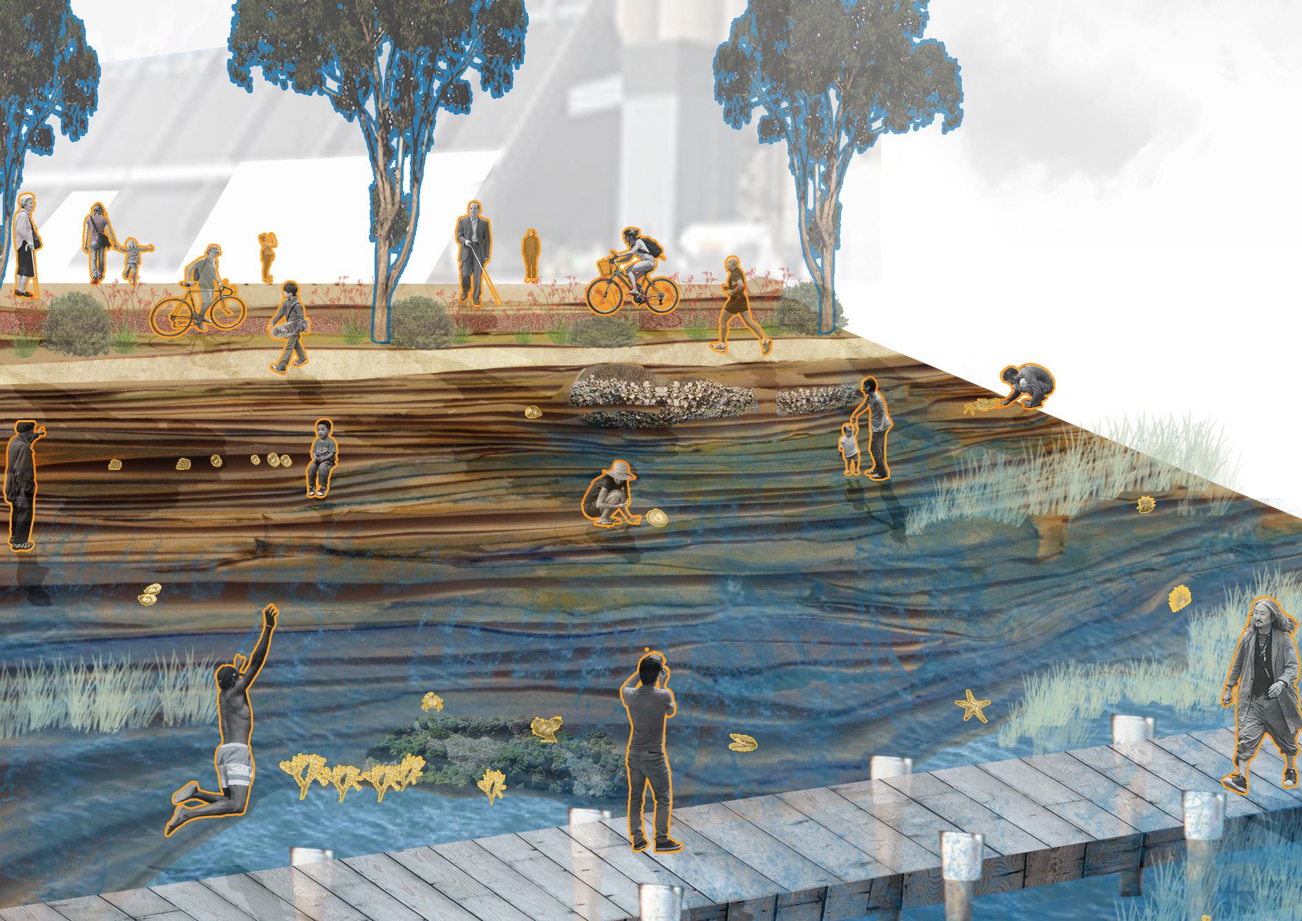
How can the imperfections and qualities of Glebe Point Islands edge, activate movement within humans and intertidal communities?


Opening Themes
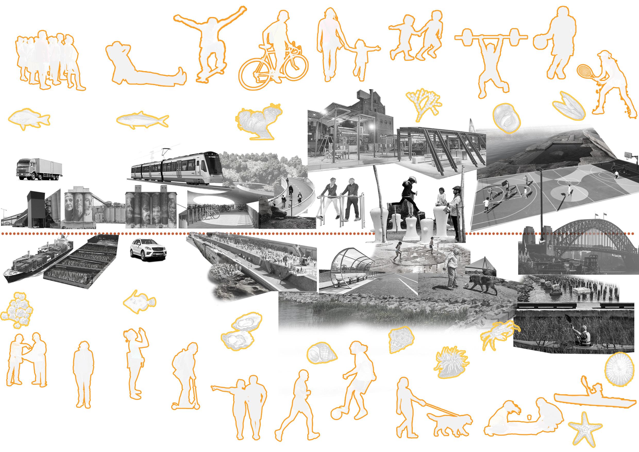
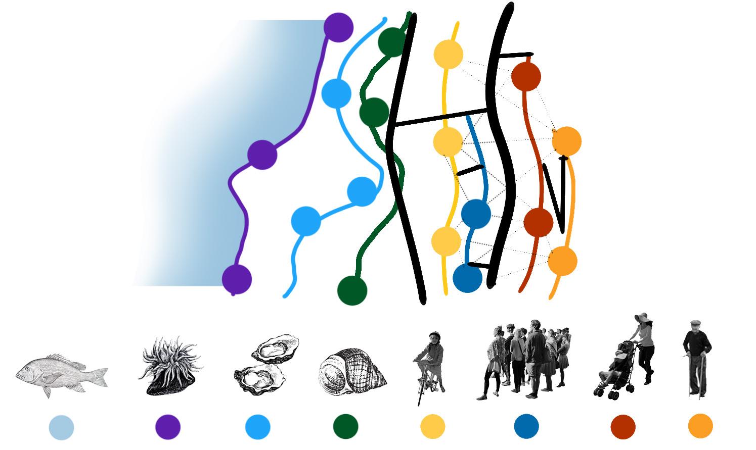
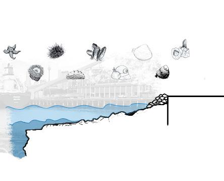
Active Design and Intertidal Biodiversity

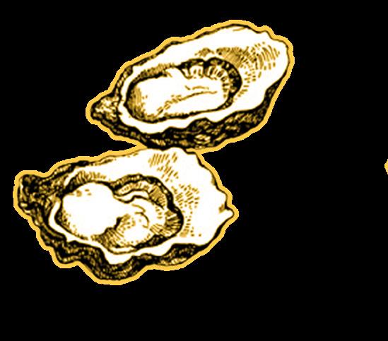
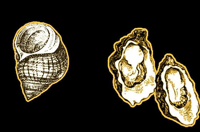
1 Oyster filters up to 190 litres of water a day.
1 acre rocky oyster shore means 36 Olympic swimming pools of polluted water cleaned from the harbour a day
“Healthy humans in a healthy Harbour”

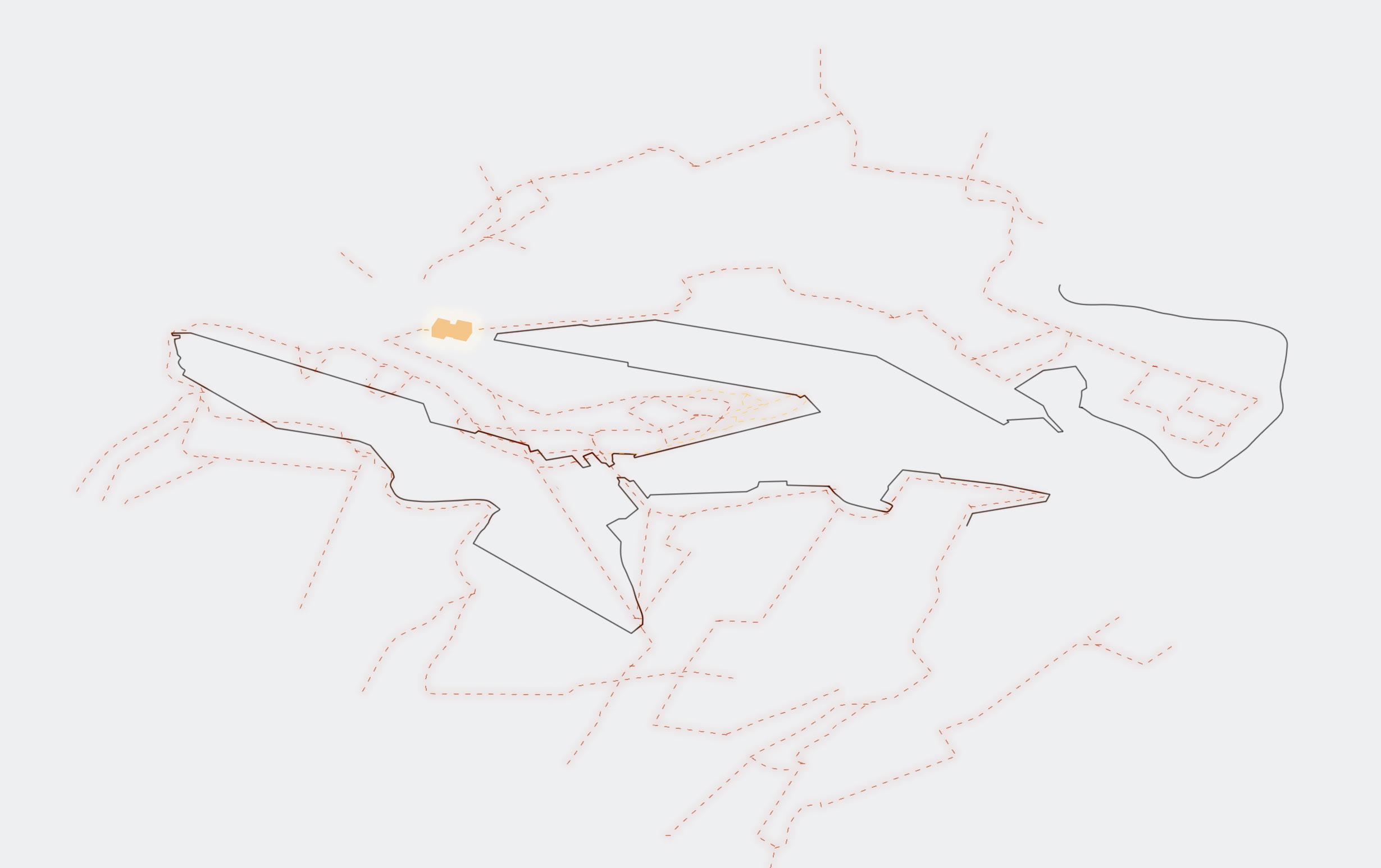
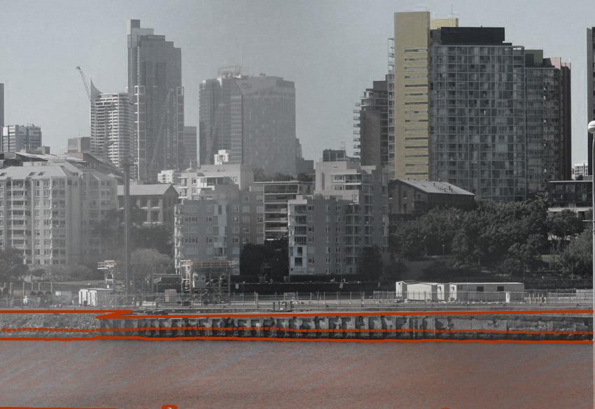
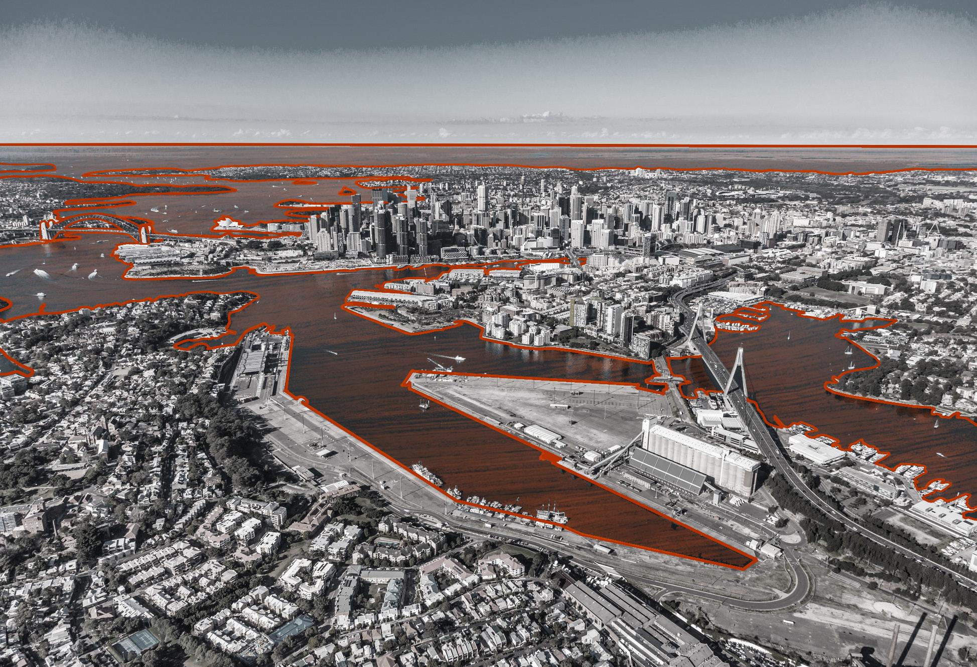
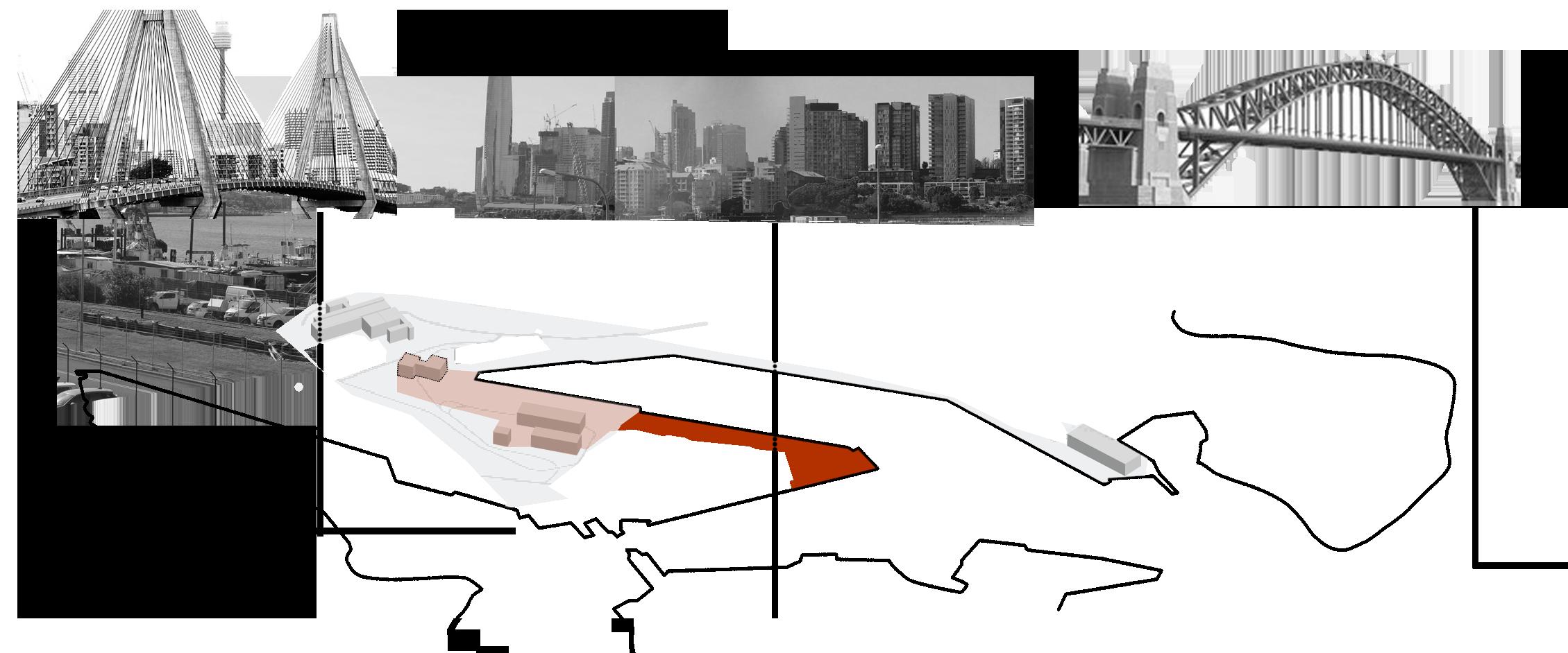
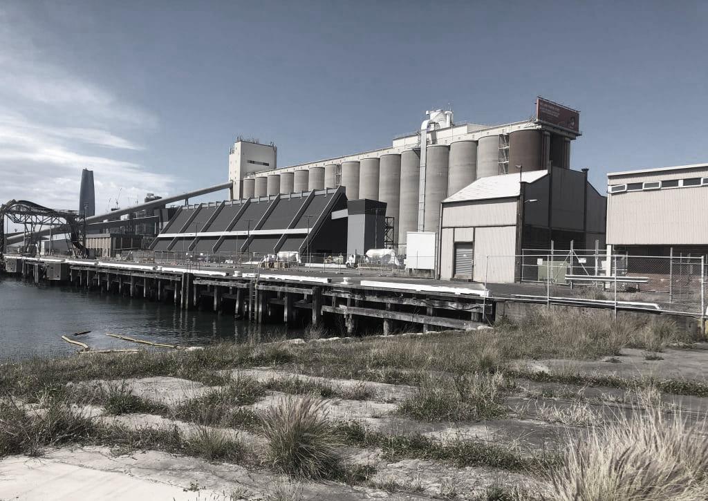
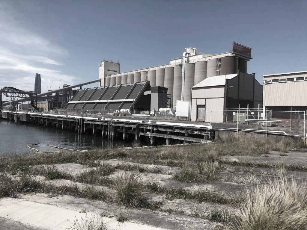
Context
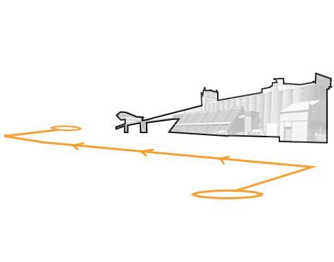
Where
XL
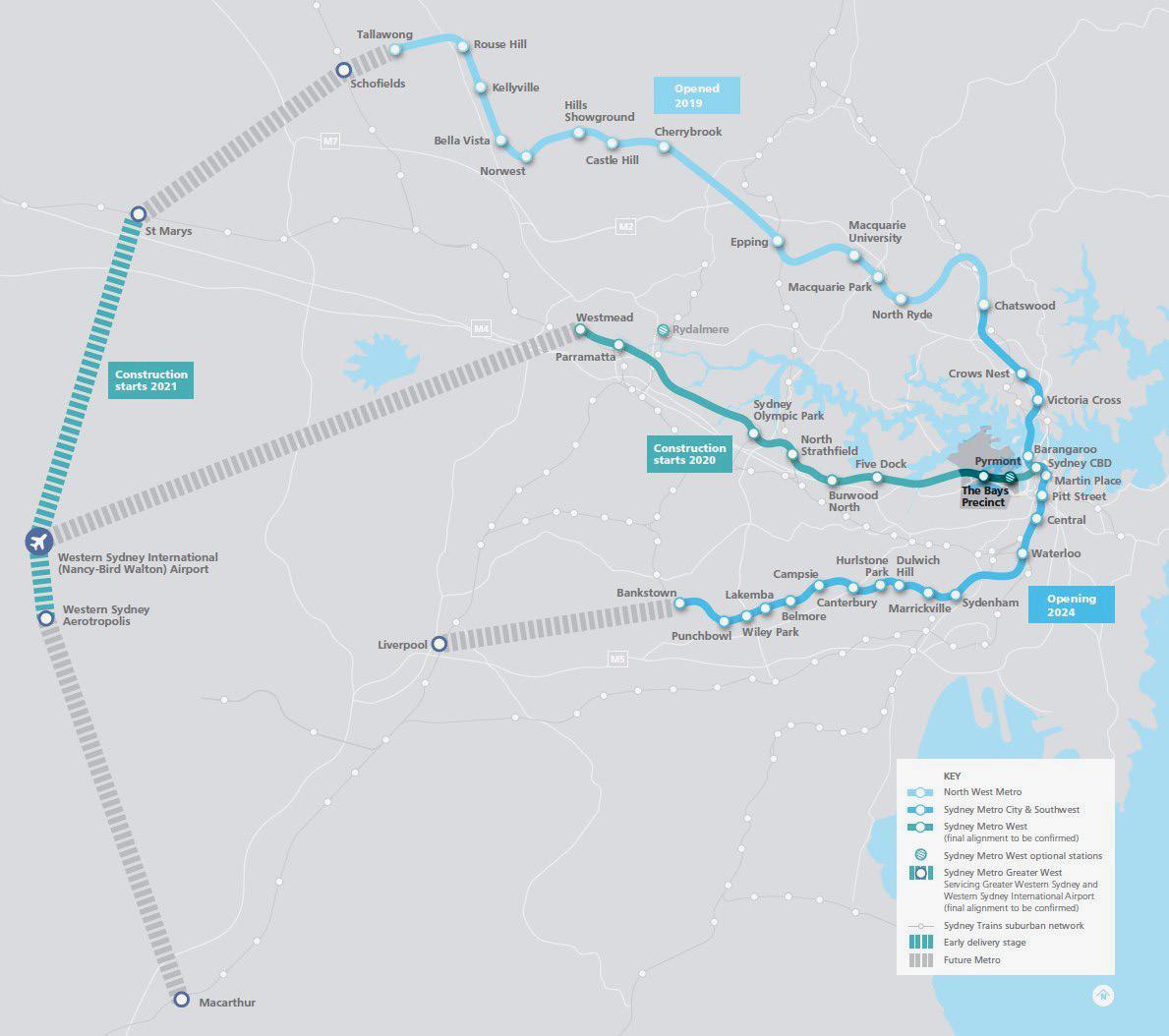
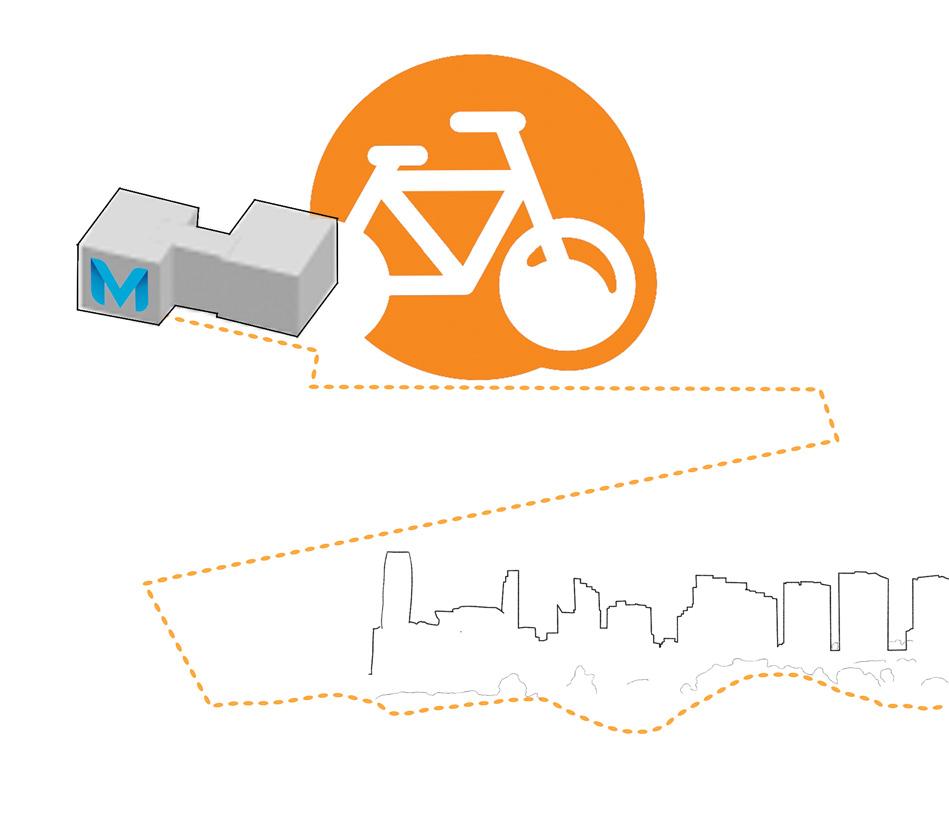
The infrastructure of the Metro Station is integral to the bigger picture of the active transport issue. “The new metro line will take about 110,000 car journeys off local roads every day by 2056” - Sydney Metro,2020.
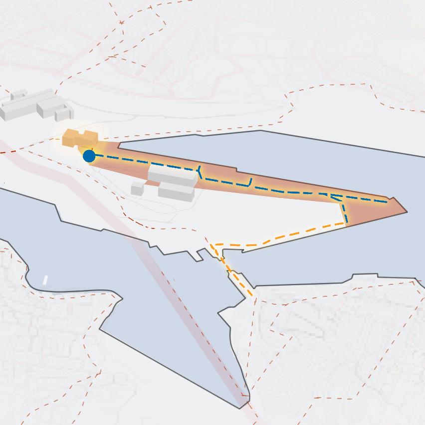
LAt present the site holds huge potential to mend a missing link that will connect Bicycle networks to Pyrmont, Rozelle, Balmain and Sydney CBD.
Along with the Metro this infrastructure extends the active transport options to Greater Sydney
Timeline of The Bays
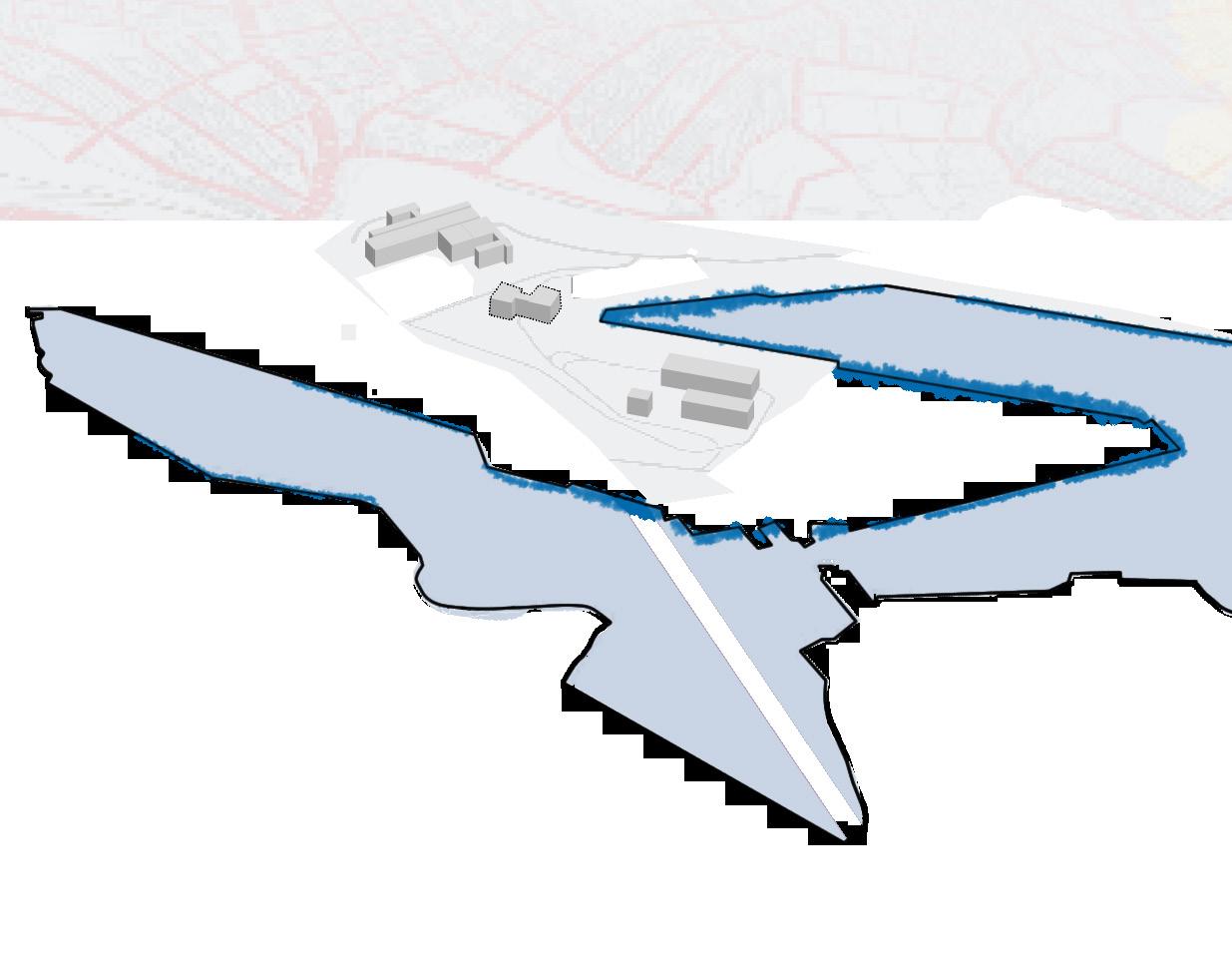
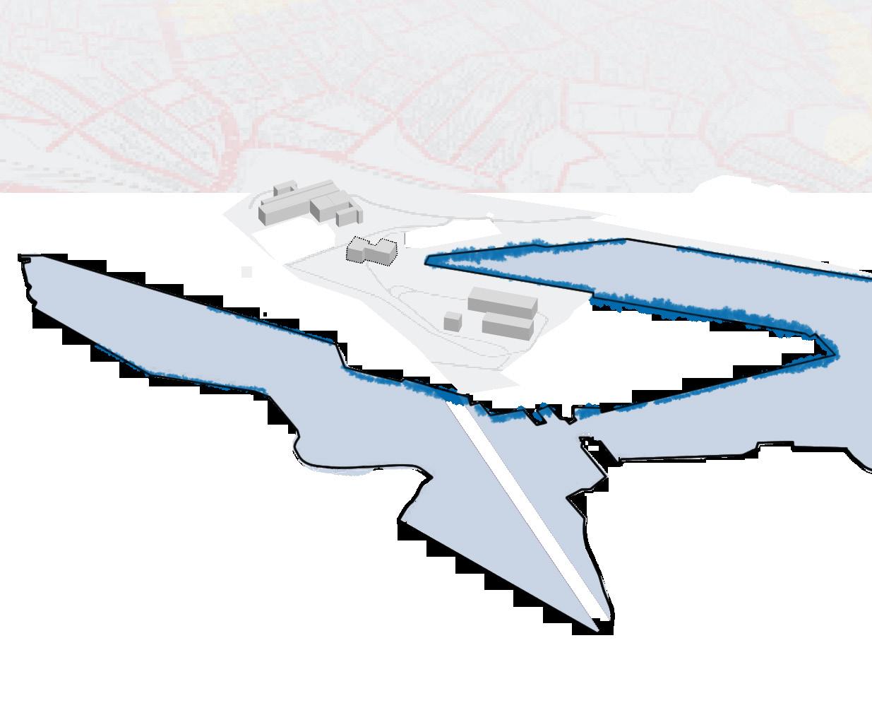
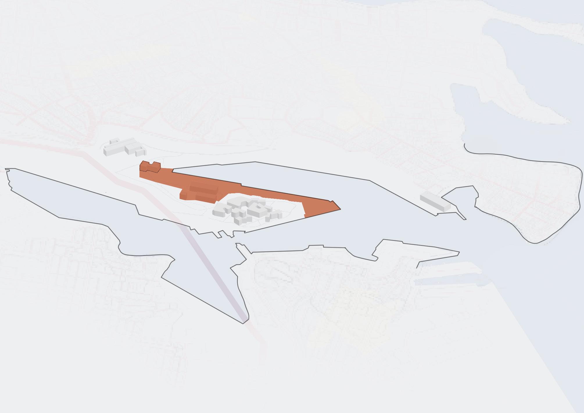
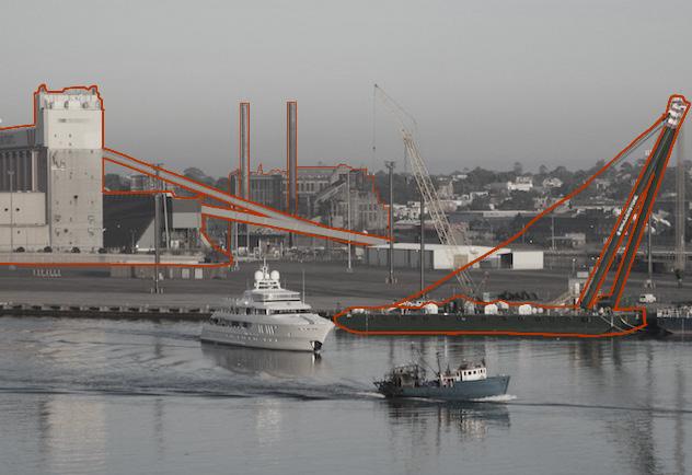
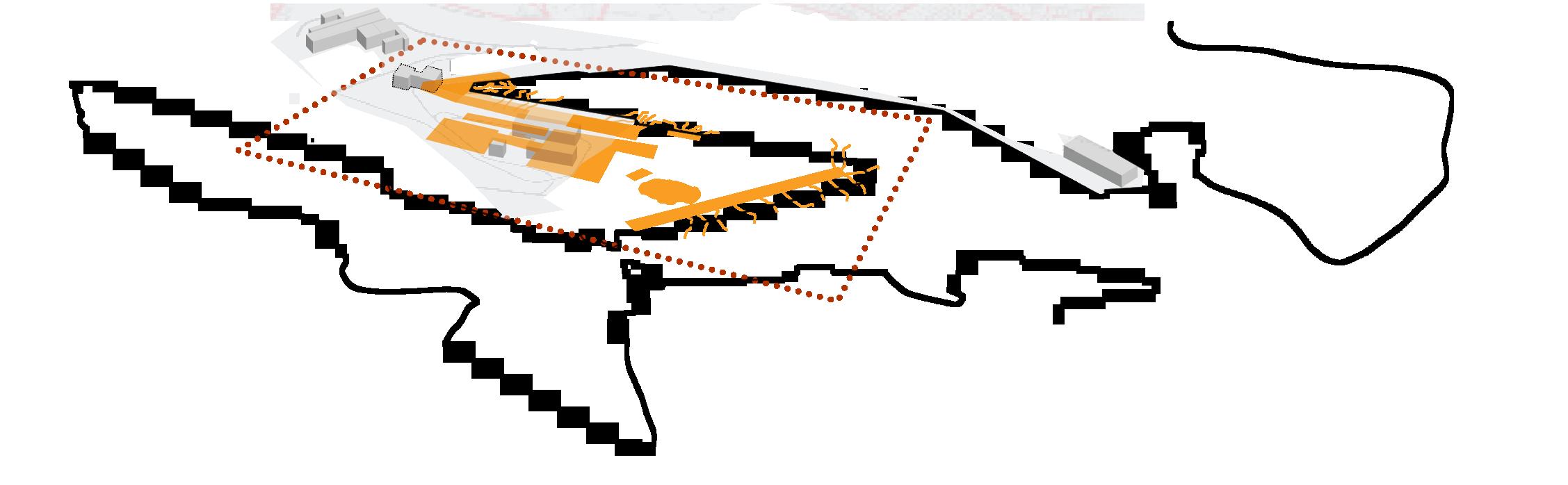
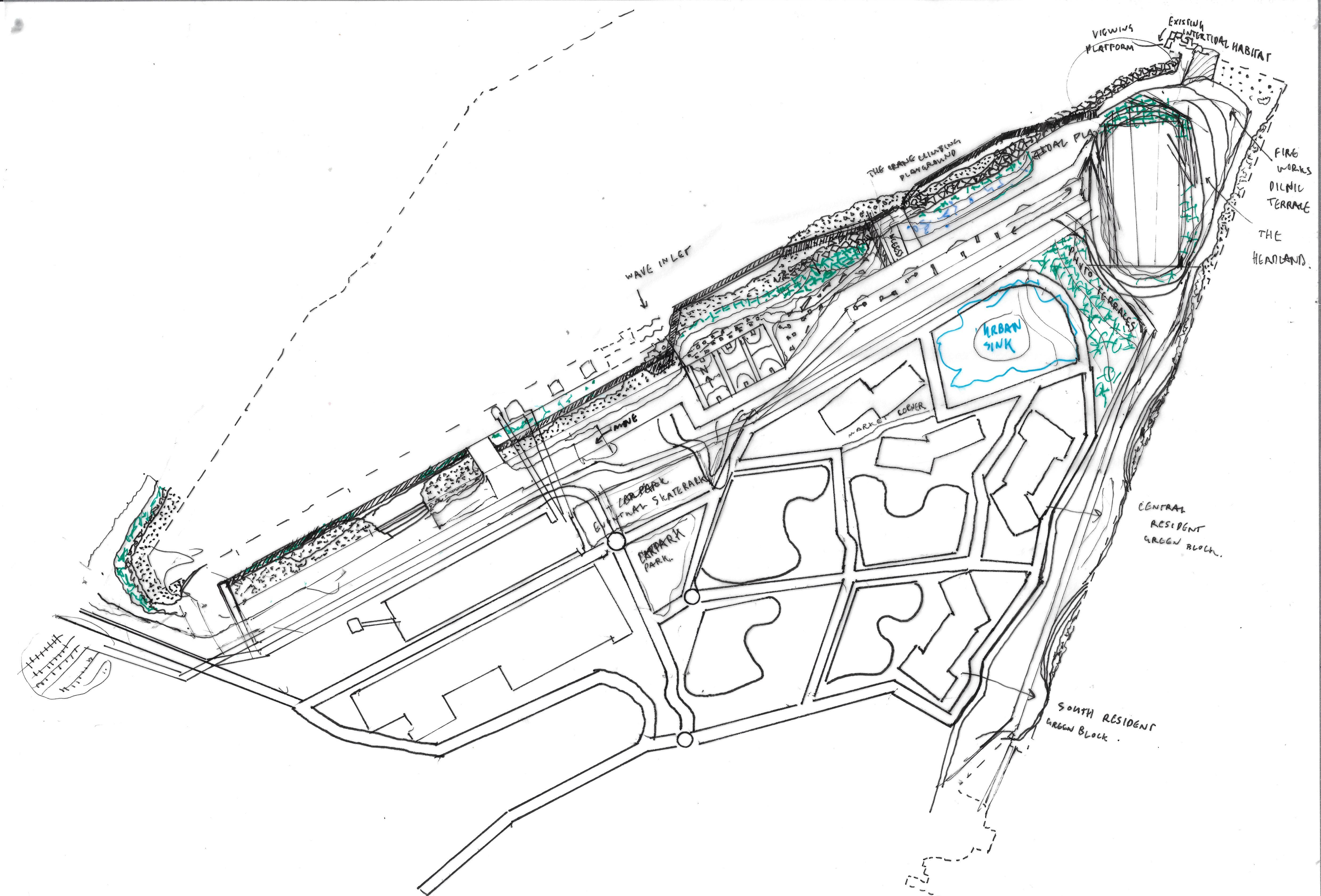
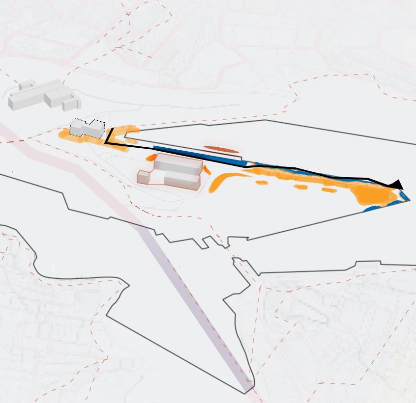
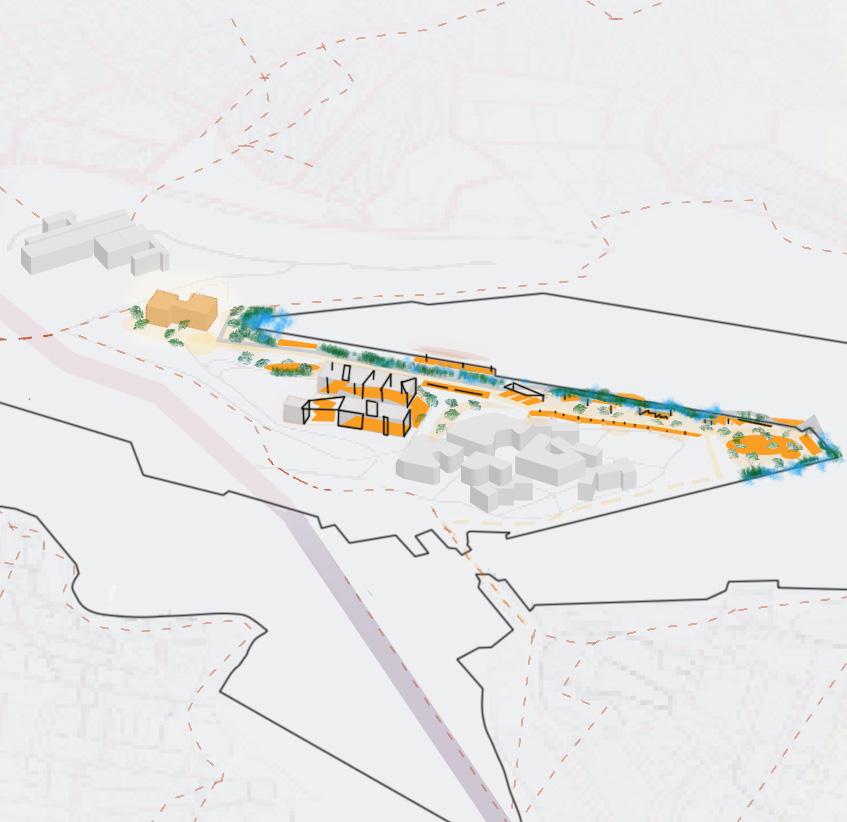
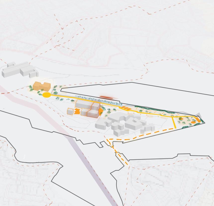
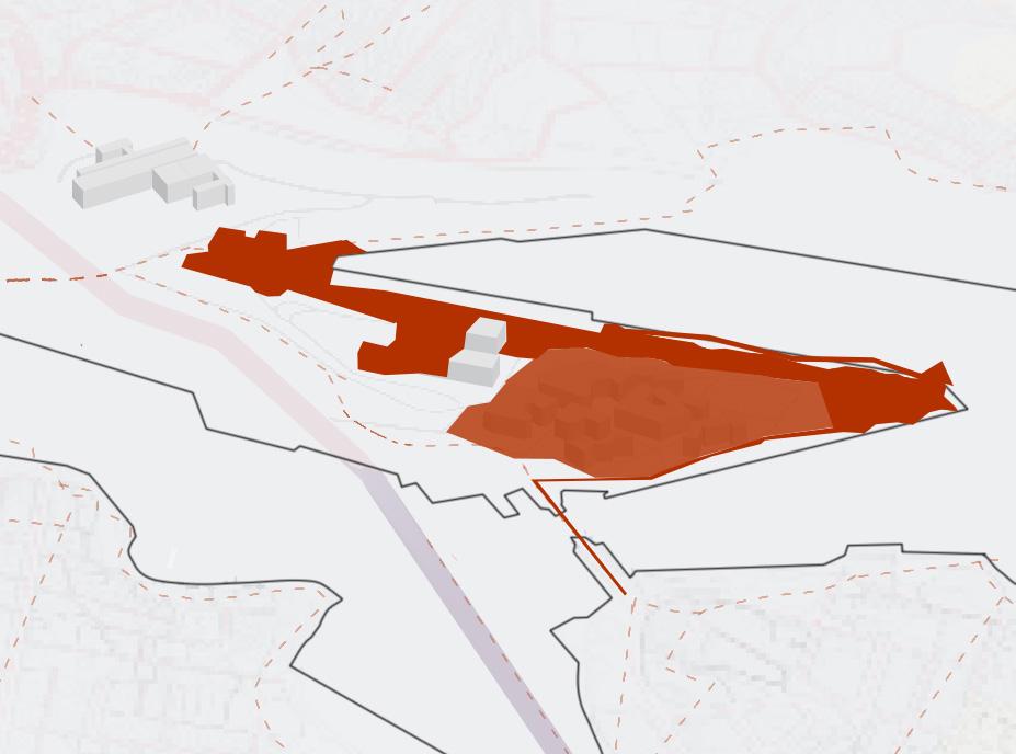
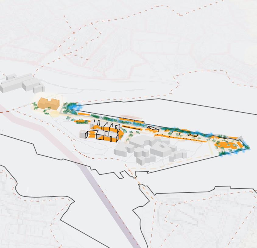
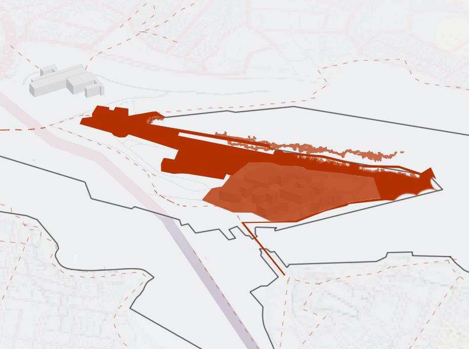
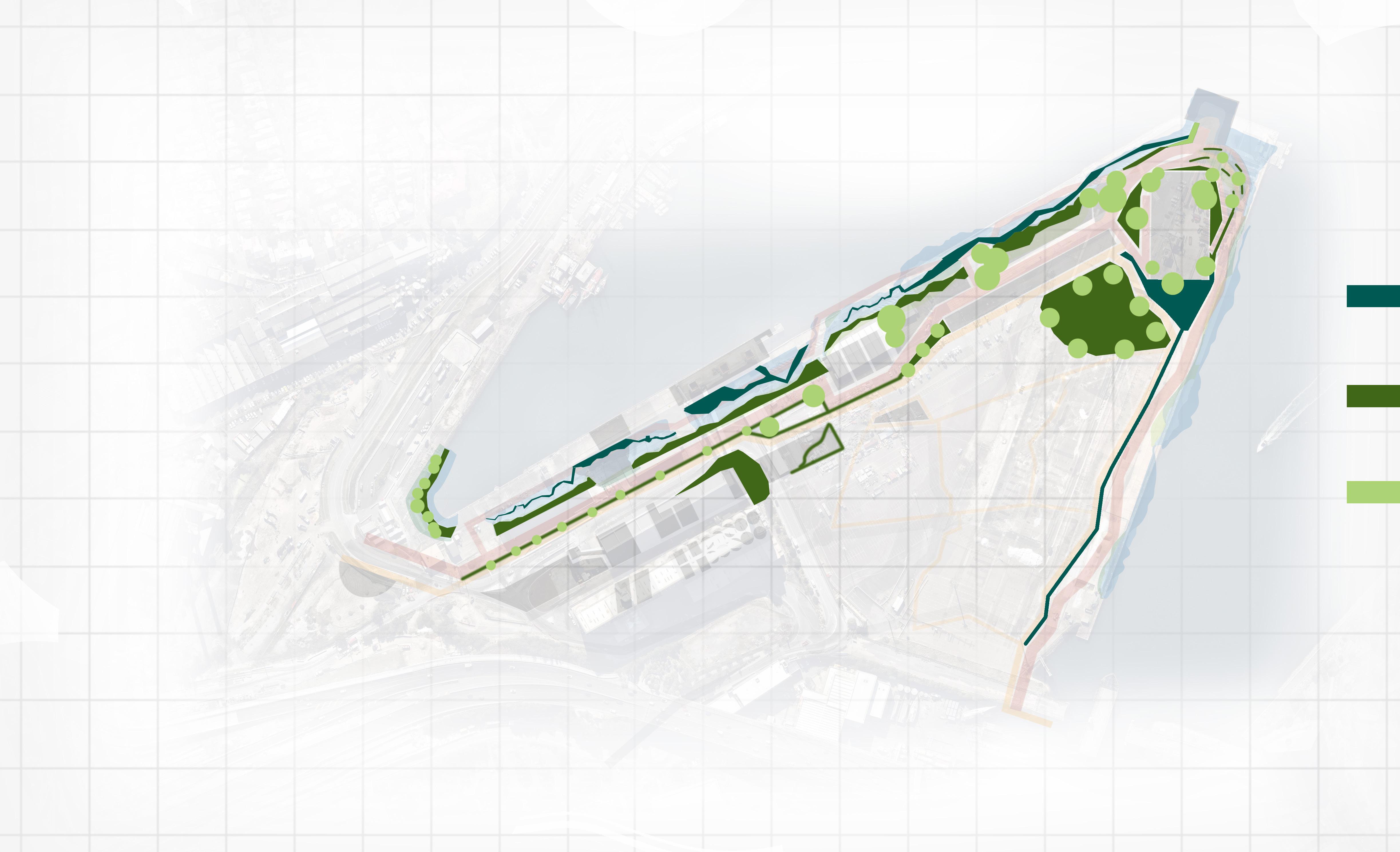
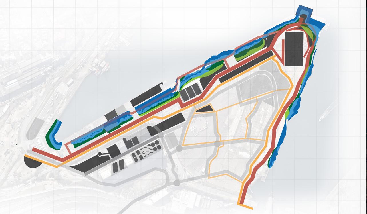
The Site
FINAL SITE
Approx. 54,000m2
How can the imperfections and qualities of Glebe Point Islands edge activate movement within humans and intertidal communities?
Fundamental Assets
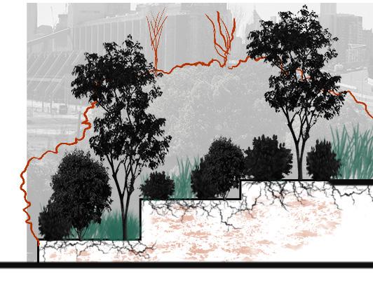
What makes the northern edge of Glebe Point Island a significant place?
POST-INDUSTRIAL
WATERFRONT
IN SYDNEY HARBOUR
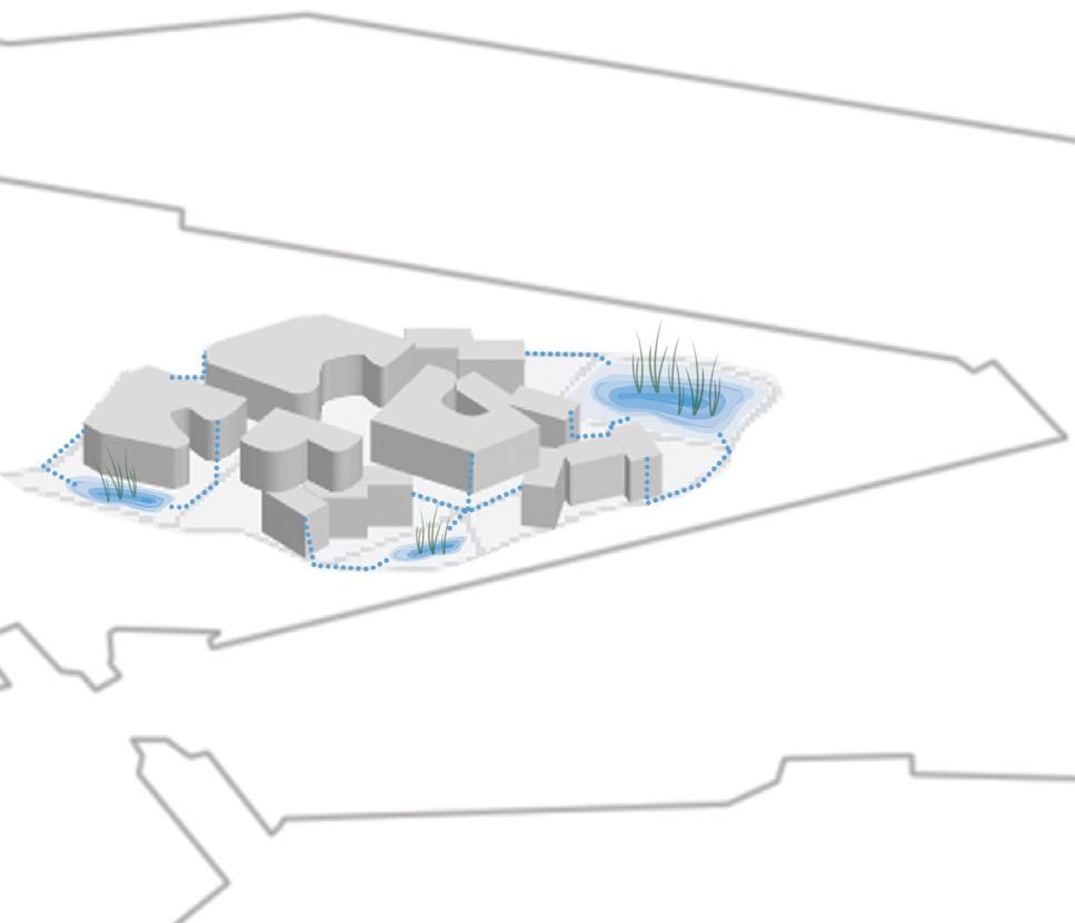
Fundamental Assets
Glebe Point Island
Industrial Assets
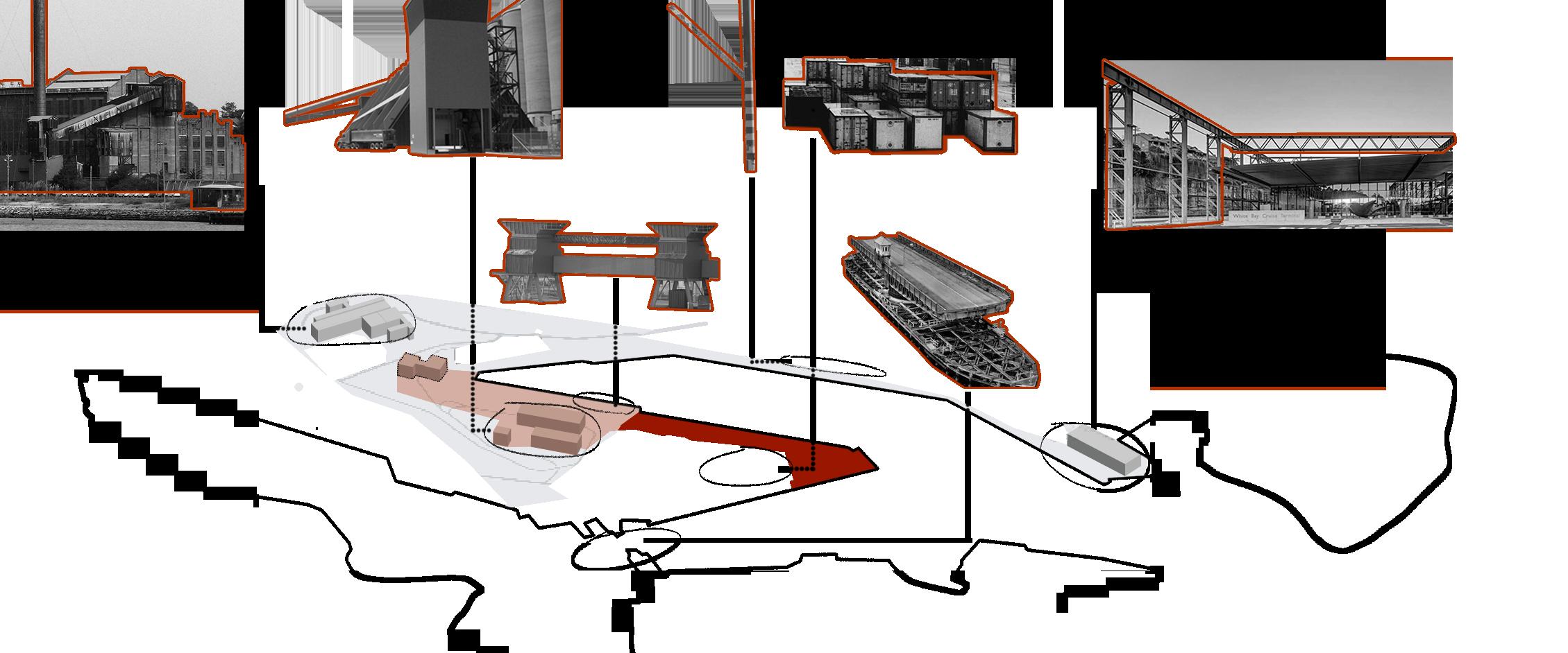
Scenographic Assets
Material Assets
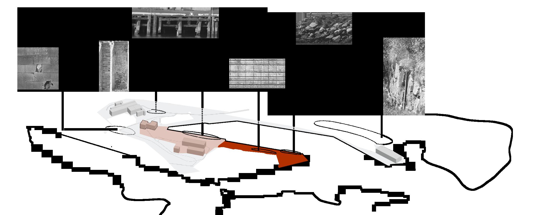
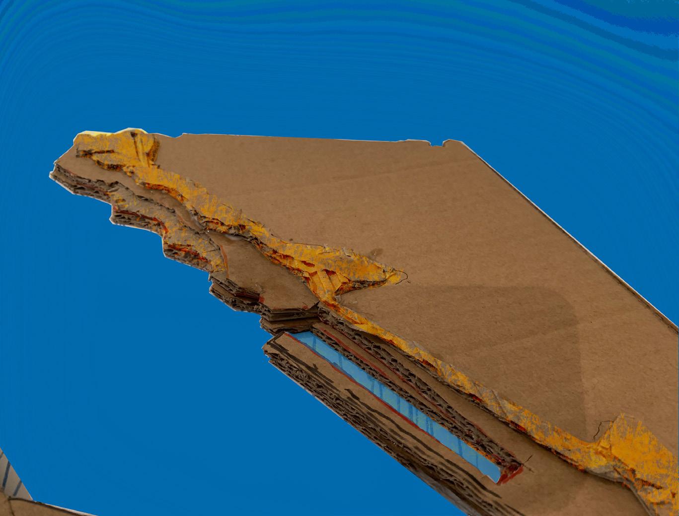
Post-Industrial Analysis
Design Process
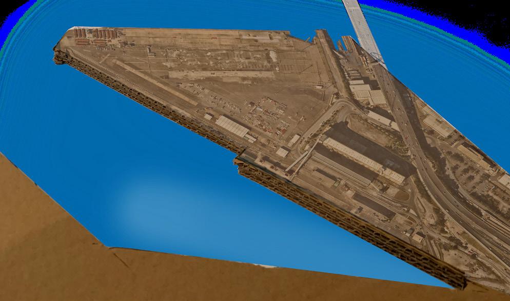
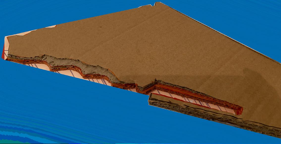

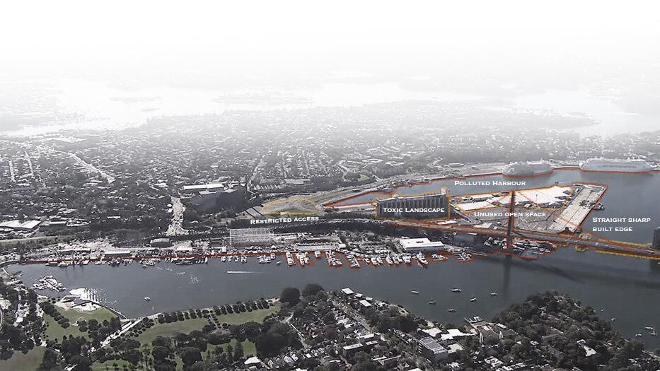
Current Glebe Island Landscape
Pollutants Analysis

Site Infrastructure
Heavy metals,Tph, VOCS,PAHs, OCPS,BCBs,COPCs
Fill - Ballast Dredge “ “ Herbicides, Asbestos, Ground Gases

Rail Slidings + Fill
Heavy metals,Tph, VOCS,PAHs, OCPs,PCBs,Asbestos, ground gases, Phenols, Nitrates, Ammonia, Asbestos
Cut Contaminated cut for reuse as fill

Former railway Lines Phenols, Nitrates, Ammonia, Asbestos

Substations
Heavy metals,TPH, VOCS, PCBs, Phenols
Mechanical equipment Solvents, Degreasers
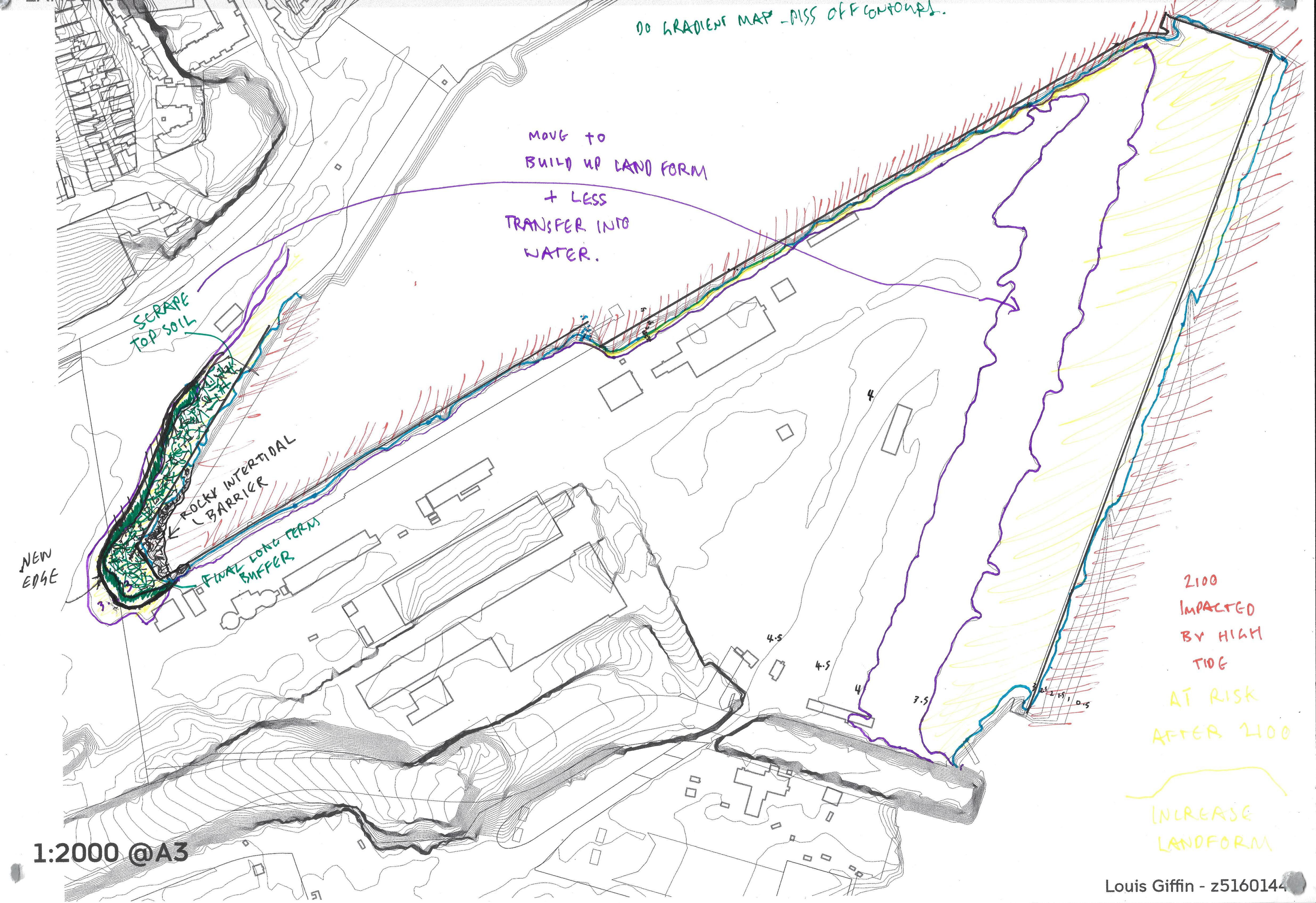
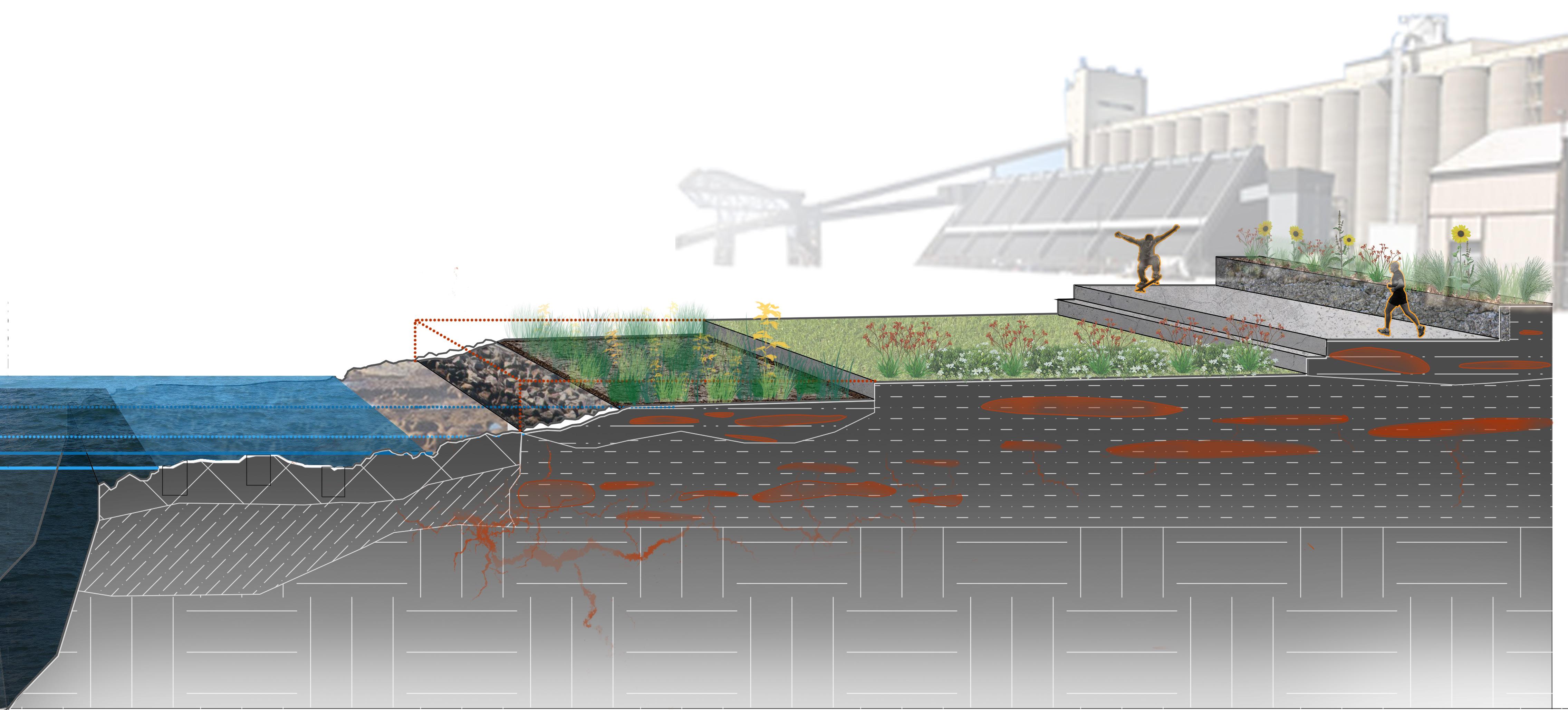
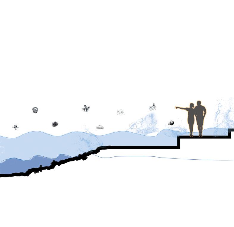
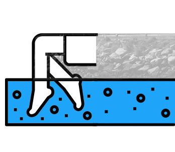
Tidal Edge
Activated Terrace Design
Fill to create terraced landform
2100 Sea-level Impact
Tidal Edge
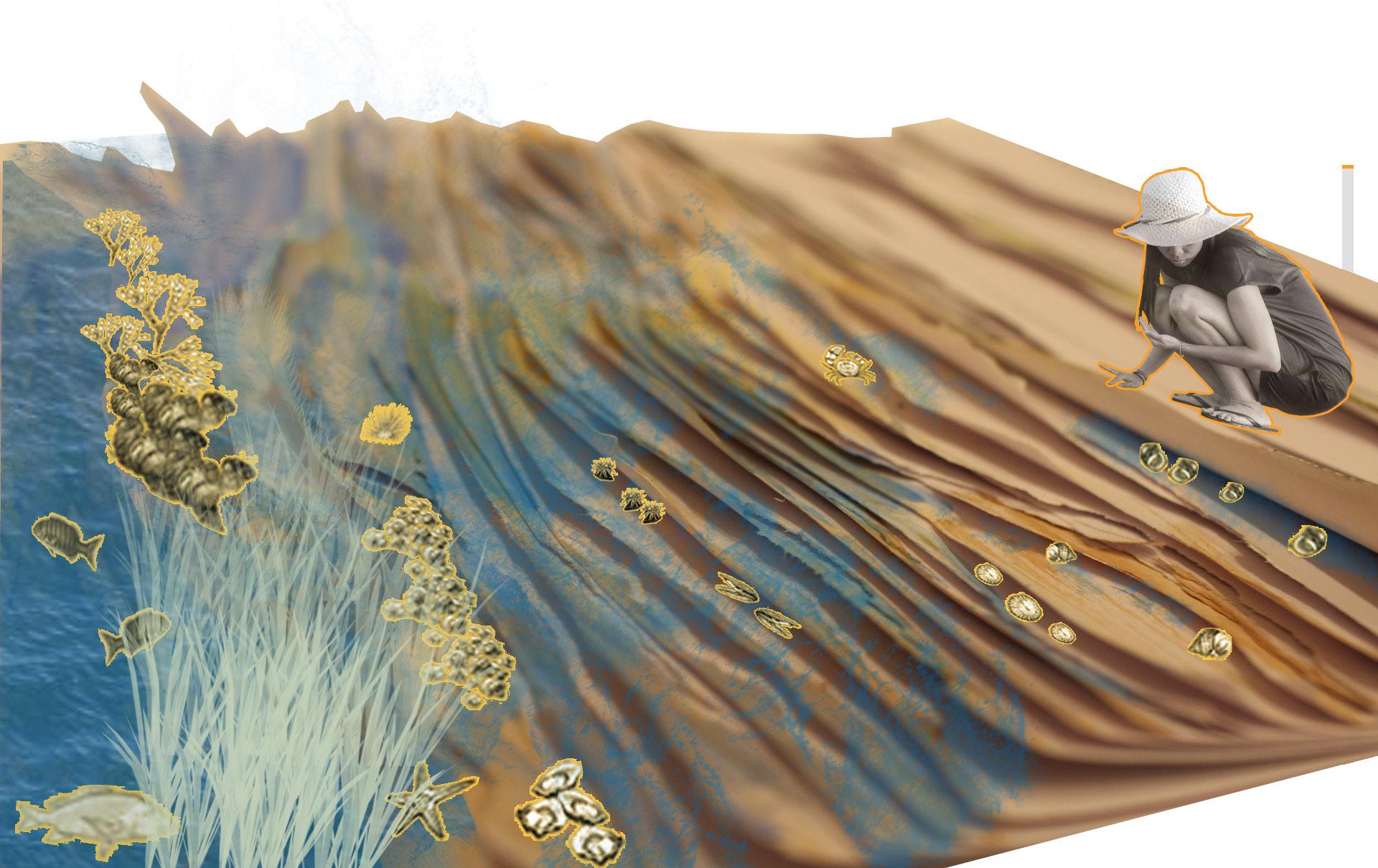
Phytoremediation planting to clean toxic fill and intertidal ‘blue engineer’ creatures clean harbour.

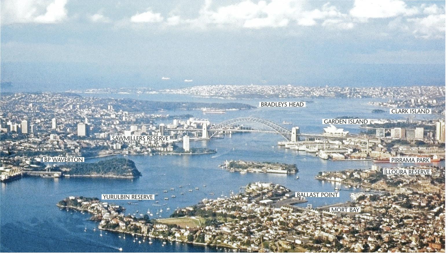
Harbour Analysis
Headland System
Glebe Point Island is a part of a rhythm of headlands within Sydney Harbour.
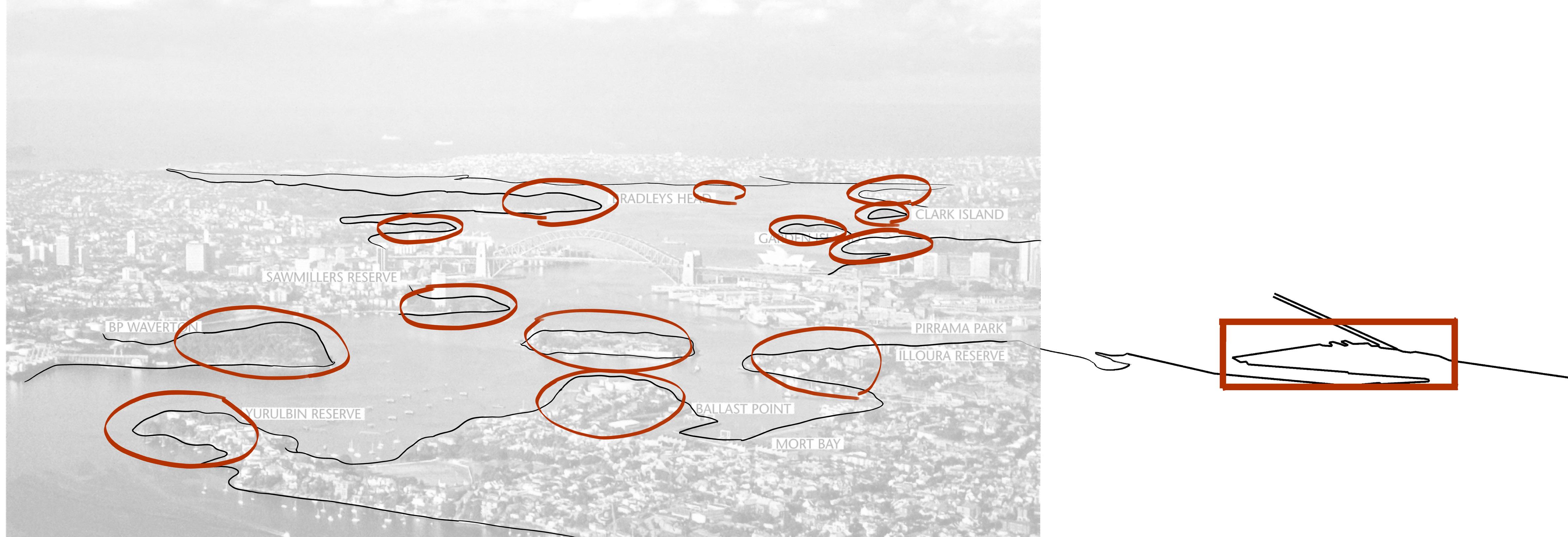
However at the moment it is a note out of tune.
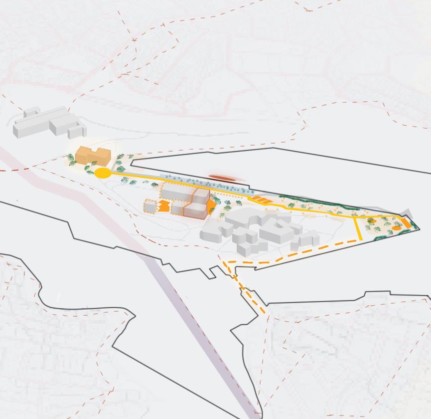
Concept
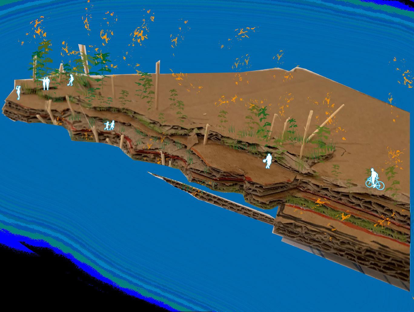
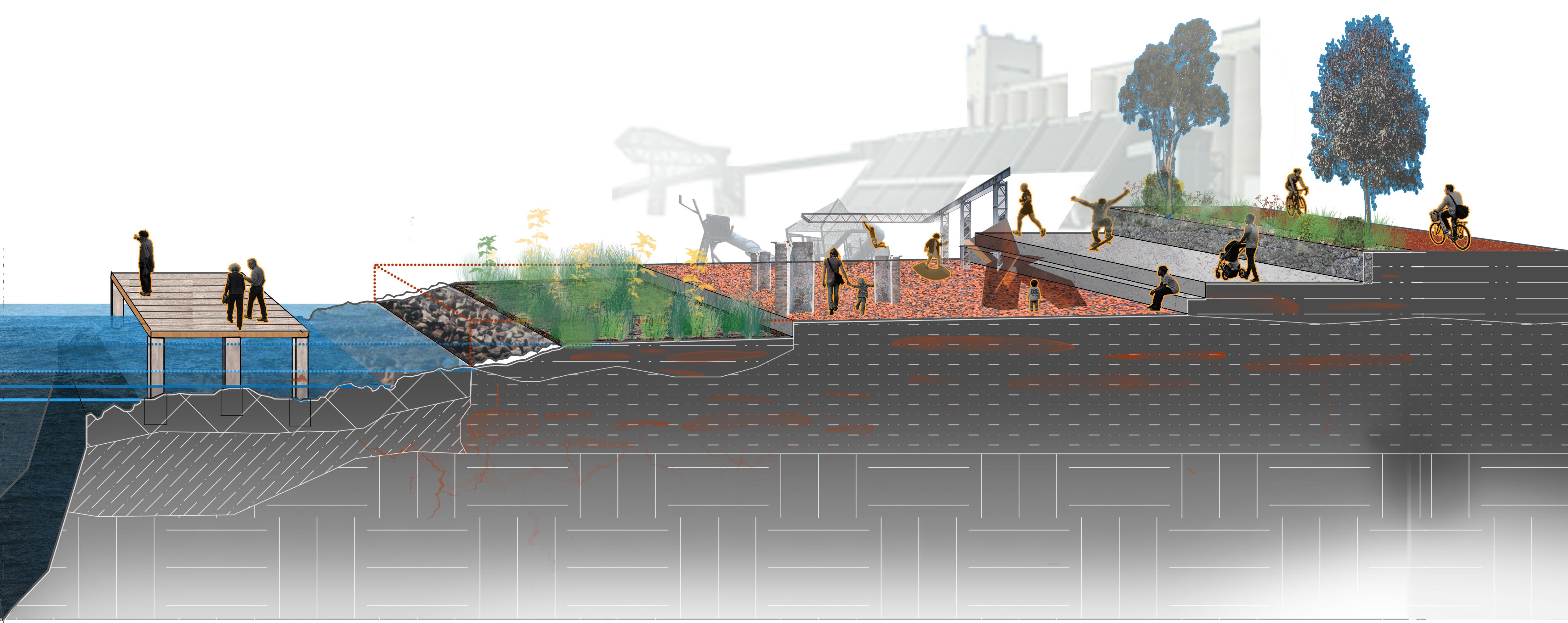
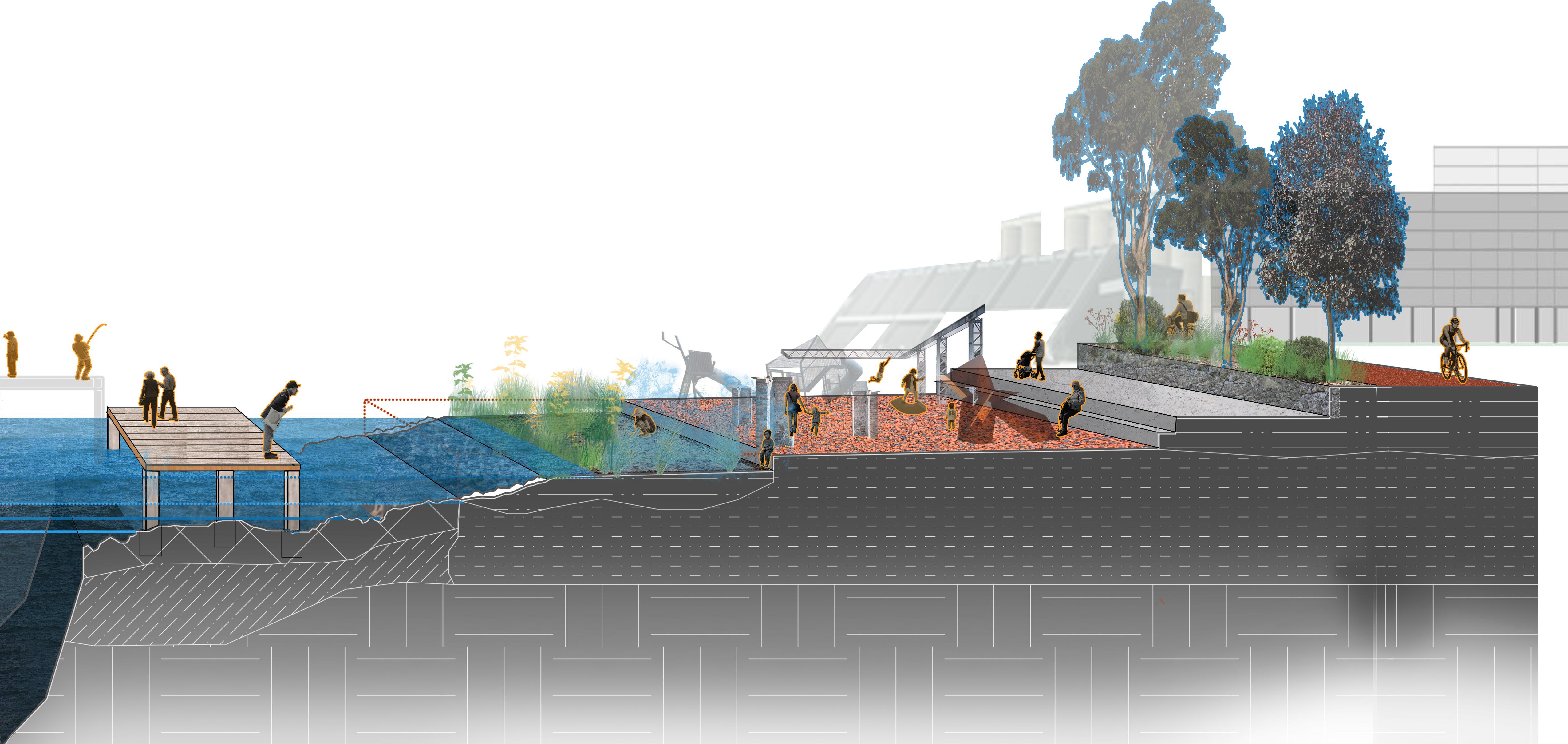
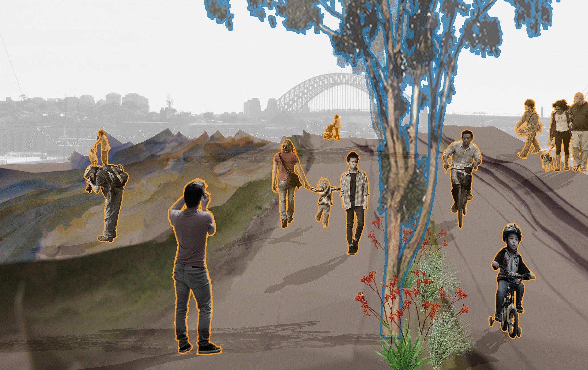
A terraced landscape
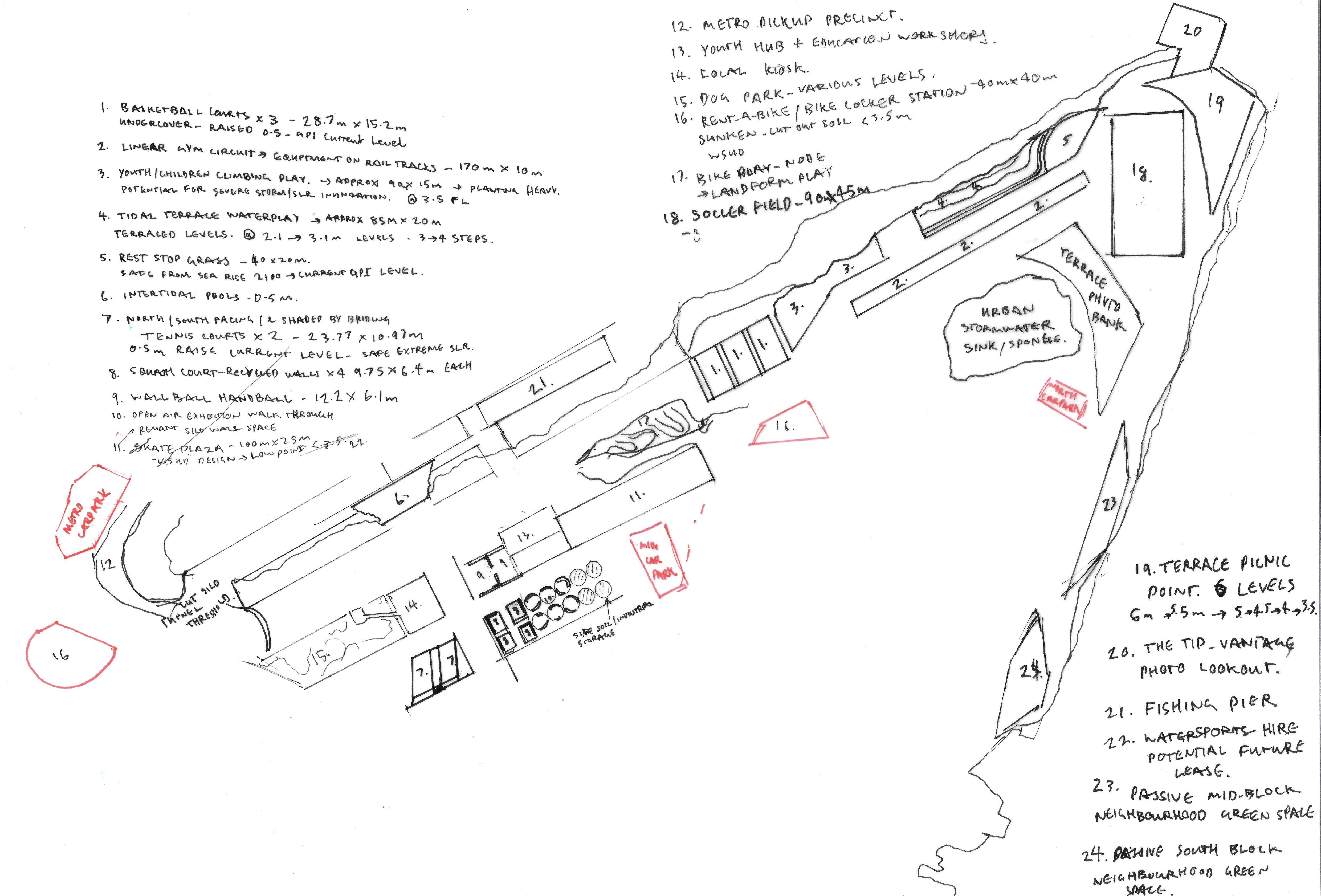
Levels of activity nodes accommodate a broad array of site users. Human and non-human
Accessible connections between linear terraces and clear visual access to the waterfront achieves a sense of Surveillance.
All levels spanning off the promenade are heavily activated. Both by a diverse group of intertidal creatures and human users.
Maintained active spaces with distinct site character offer proud civic Ownership.
Night program enhanced in lit active rooms and ecological nocturnal process stimulated in tidal edge.
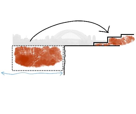
Historical Site
Headland Landscape
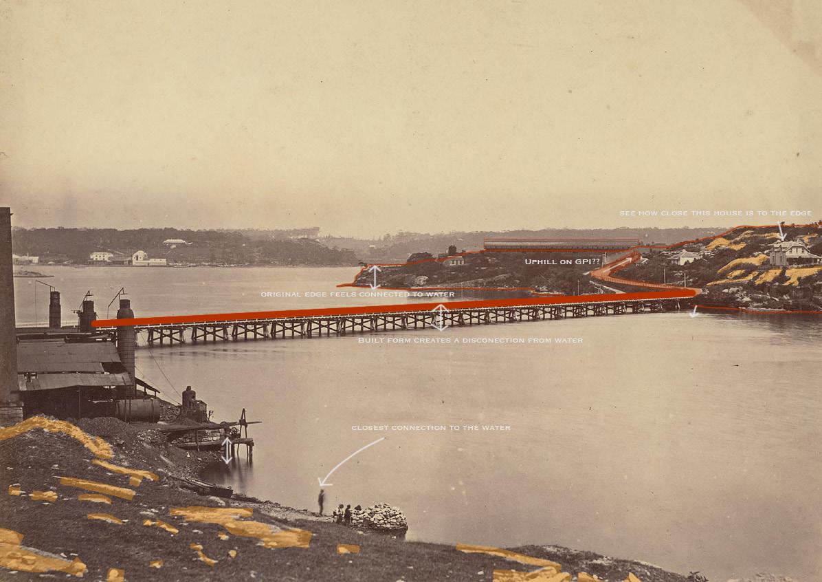
Present Site
Unhealthy, Inaccessible, Un-programmed
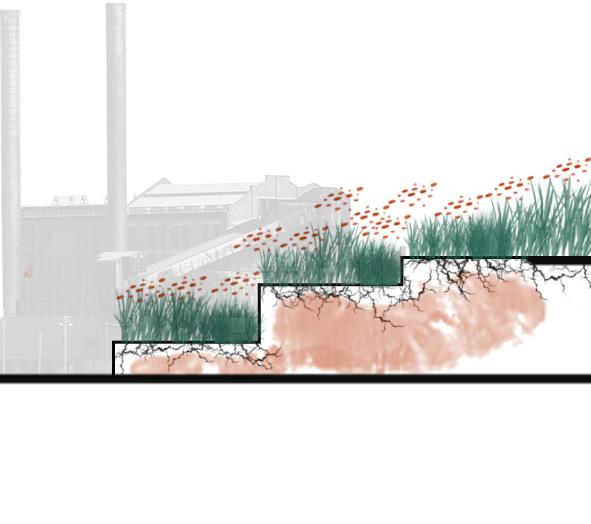
Site Vision
Activated Waterfront
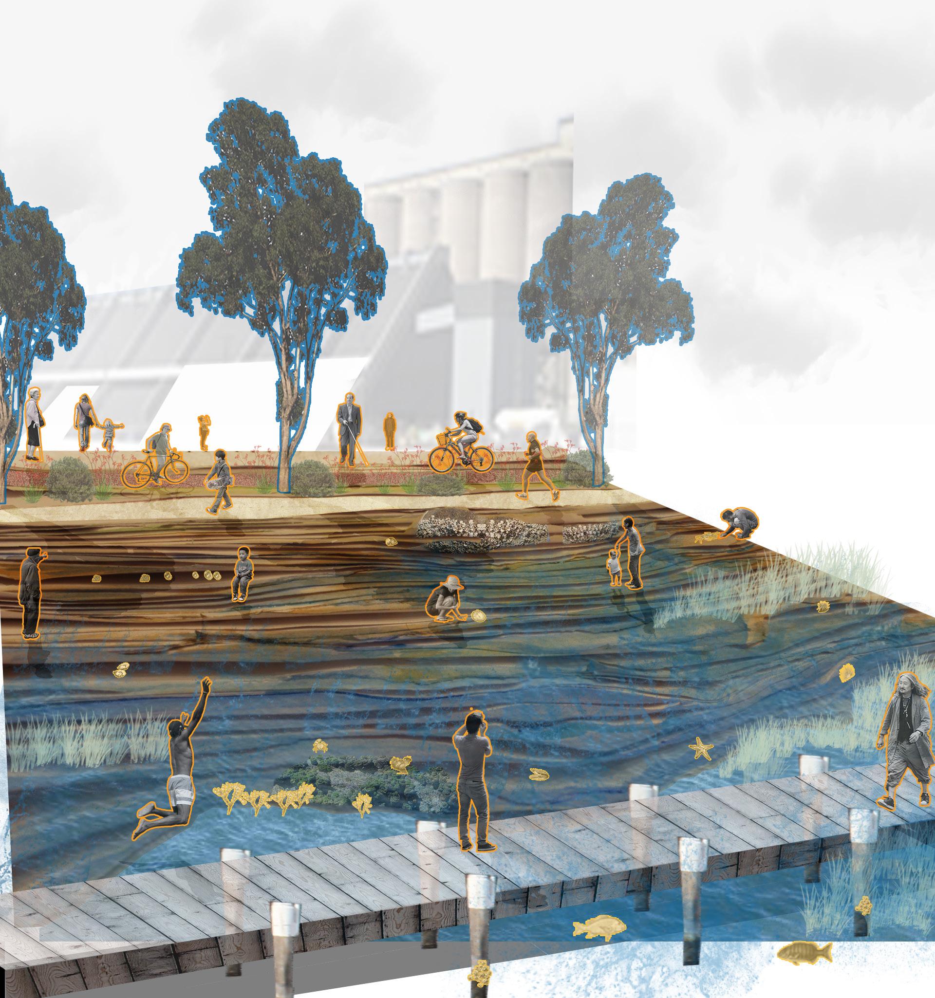
Active waterfront provides multiple health benefits to human users.
Clean rocky shore providing habitat for Intertidal species.
Intertidal species act as ‘pollutant engineers’.
Positively impacting the health of the Harbour
Design
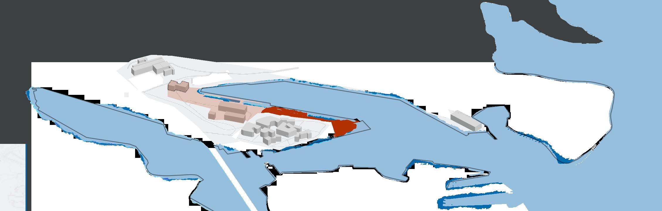
Development Edge and Proposed Development
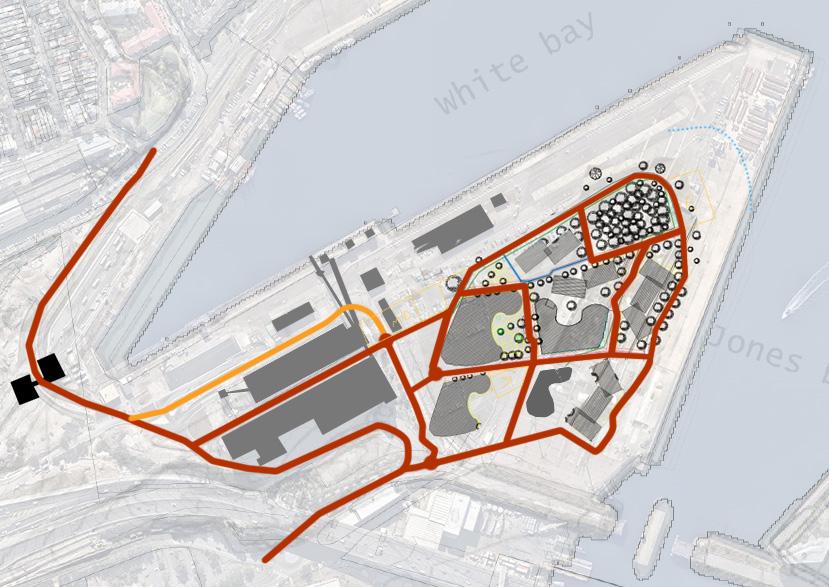
Design Development
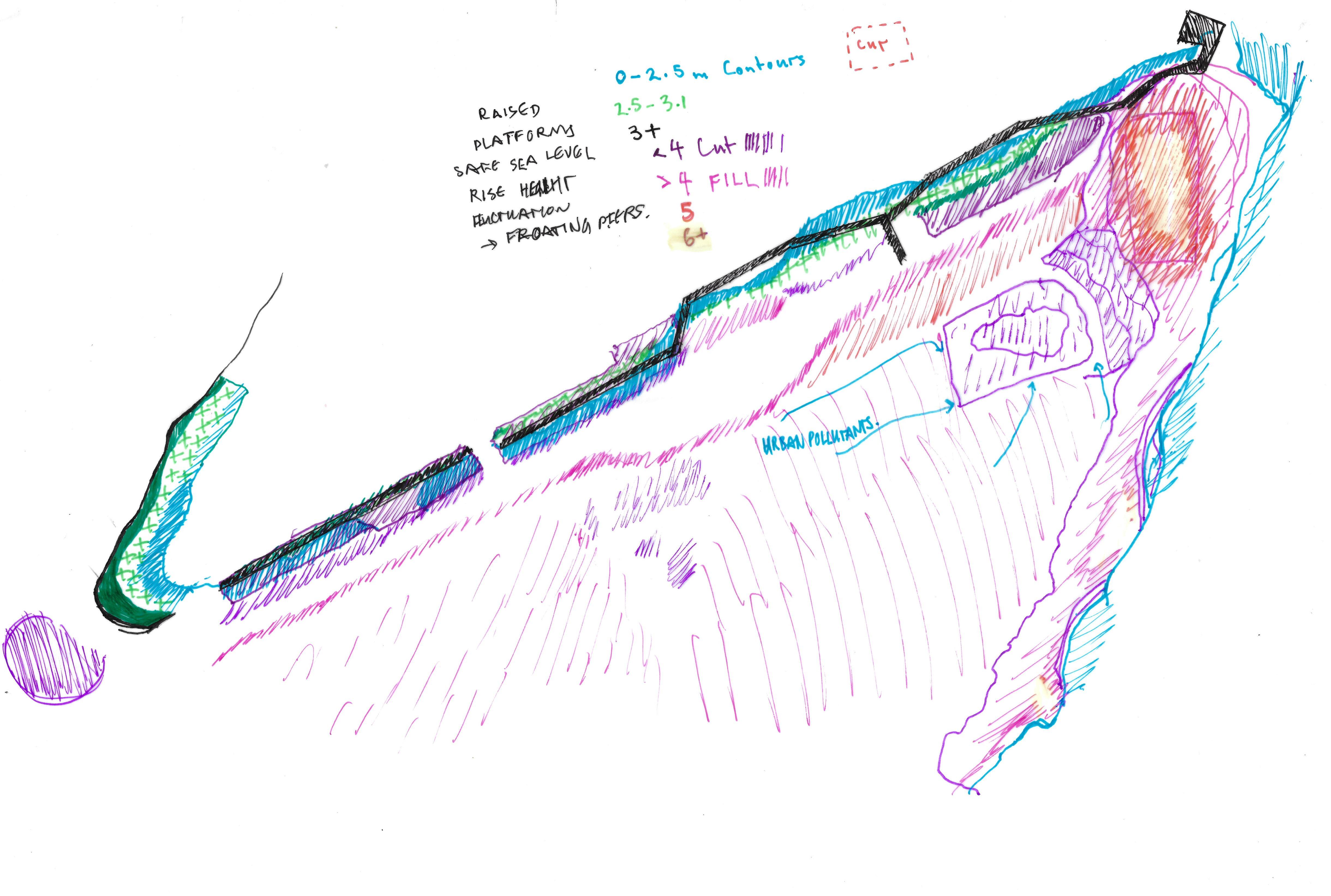
Sea Level Rise Mitigation - Terraced Edge
Design Development
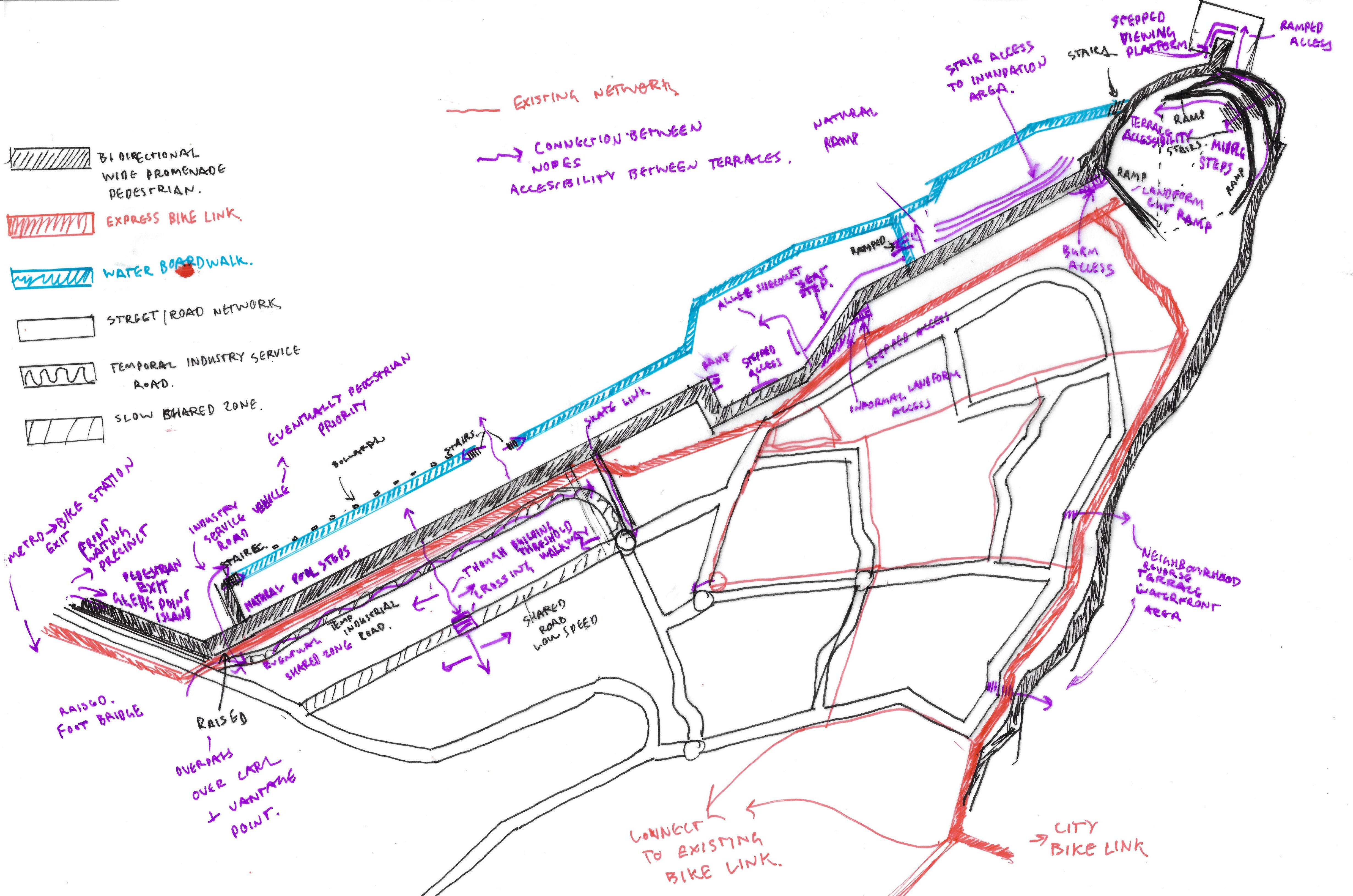
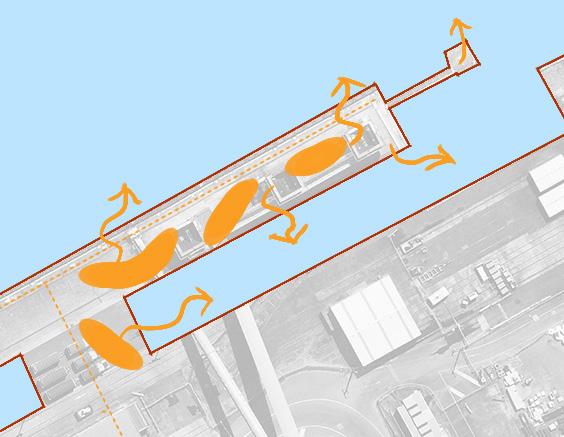
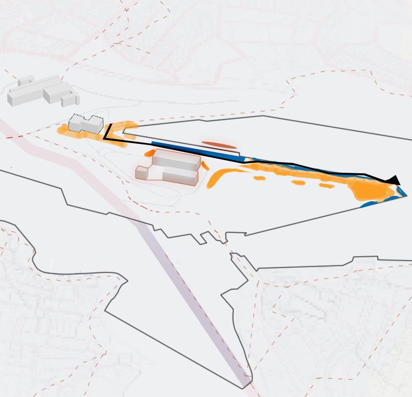
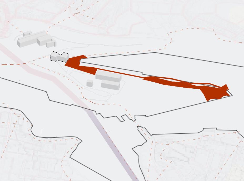
Active Path Network
Design Development
Design Development
Abiding events
Project lifespan
Human Lifespan


Project Lifespan


A child today could experience MOVE as they grow up. How will the landscape change over their lifetime?
Stage
Stage 1 - Section
Design Moves
Stage 2 - Section
Design Moves
Stage 3 - Section
Design Moves

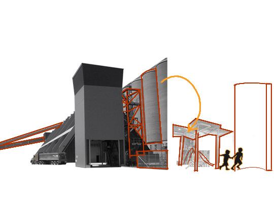
Reprogram disused port for waterfront activity
Repurpose all abandoned industrial infrastucture for active use.
Manage urban developments pollutants
Utilise tidal inundation for water play
Stage 1

Site accommodates activity of X amount of people
Site forms intertidal habitat
Stage 2

Site accommodates activity of XX amount of people
Stage 3
Urban Development
Site accommodates activity of XXX amount of people
- Foundations created for resilient landscape.
- Human connection to the waterfront personality of Sydney Harbour
Stage 1
Phase Details
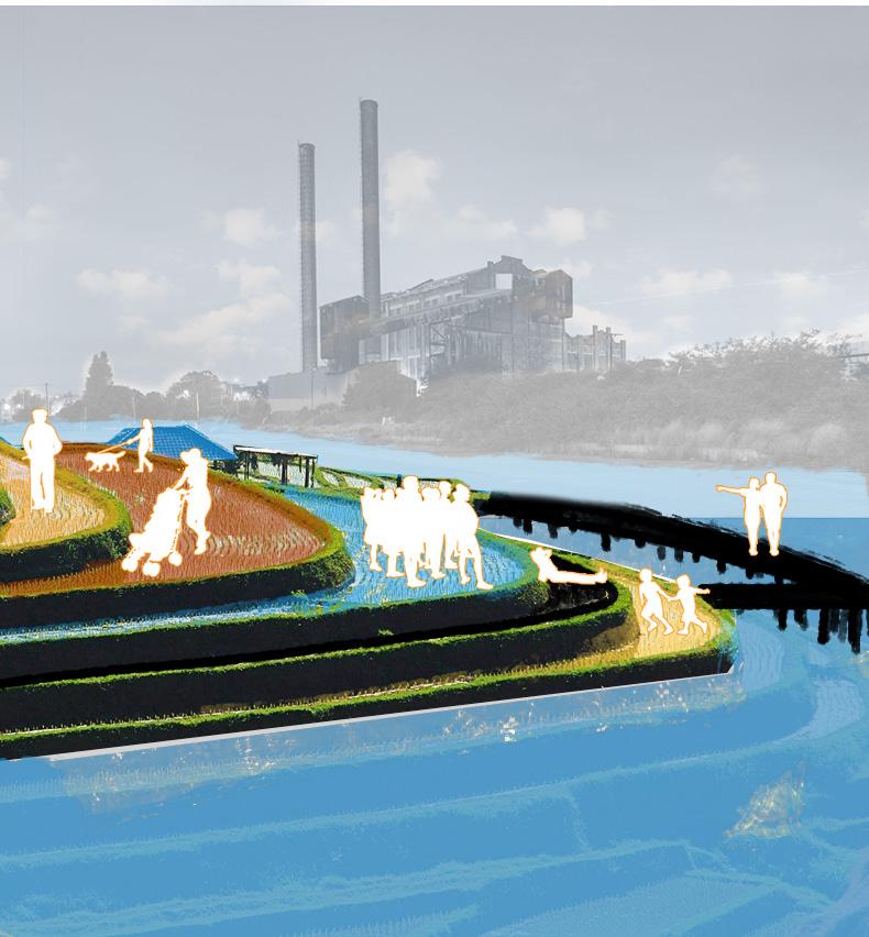
Waterfront promenade opened.
Glebe point island tip soccer match
Glebe Point tip New years Fireworks gathering.
First Turban Snail found on site
Oyster colony established

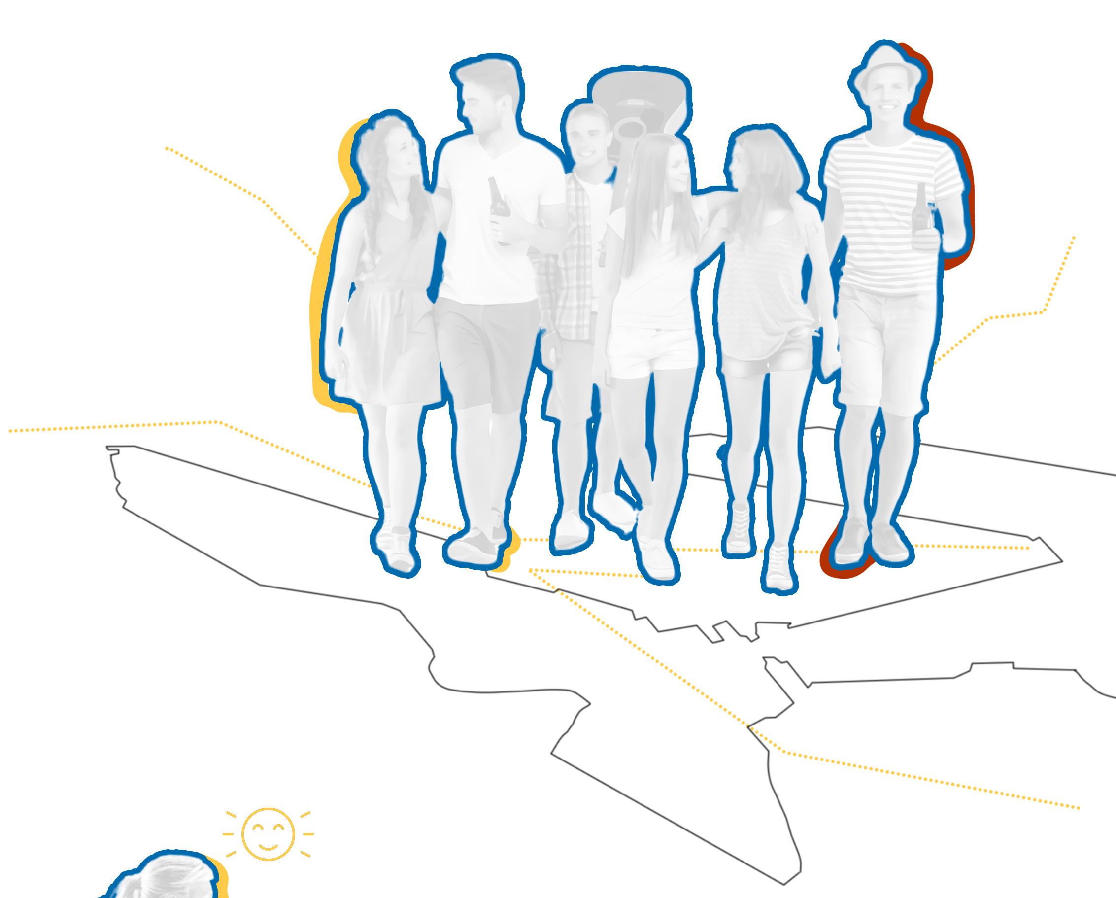
10% Syd. Population Users
Annual visit respective to accommodating activities
2-8 years
Site accommodates activity of X amount of people
Site accommodates activity of XX amount of people
Site grows biodiversity within intertidal habitat
- Soil fill remediation and intertidal biodiversity increases overall health of the Landscape
- Industrial disuse empowers infrastructure repurpose for activity and broad bike link connections.
Stage 3
Development
Site accommodates activity of XXX amount of people
Stage 2
First Metro ride 2028
Industry disuse
Sport Centre opened
First basketball match
Bio-diverse Intertidal communities found on site
‘Blue Engineering’ working at impactful scale
Soil partially remediated


8-80 years 40% Syd. Population Users Increased Biodiversity
Site accommodates activity of X amount of people
Site accommodates activity of XX amount of people
Stage 3
Urban Development
Site accommodates activity of XXX amount of people
Site remediated and ecologically engineered
- Industrial abandonment given new life through active infrastructure
- Edge interventions respond to sea-level rise offering waterfront opportunities
- Increased urban development
Stage 3
Residents move into urban development
Sea level rise moves intertidal species closer to shore
Soil remediated
Headland park character matured
Decreased pollutants recorded in Harbour
Humans interact with intertidal species


80-200 years 80% Syd Population users Increase in Subtidal species
Moving through..
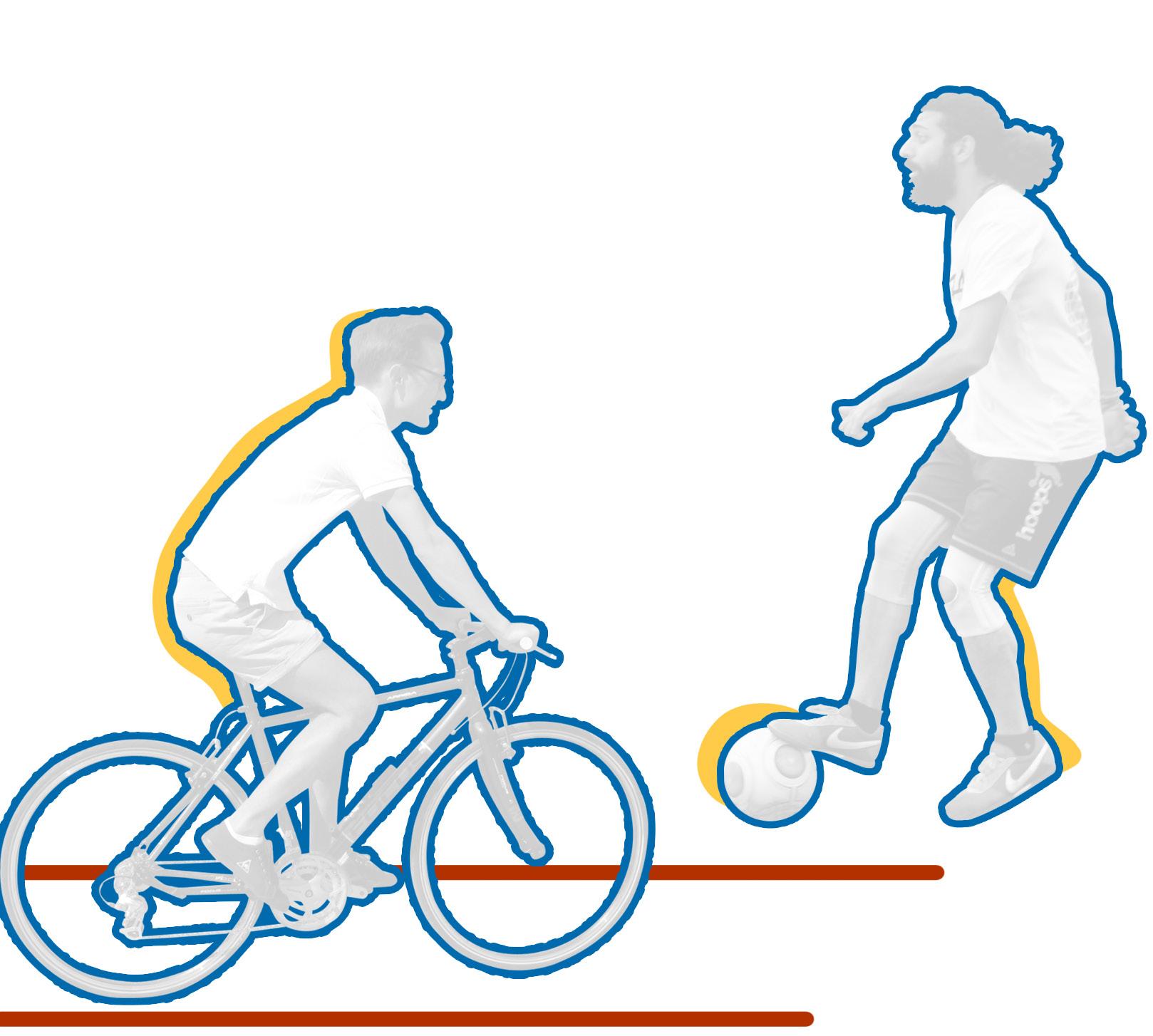
Human Activity
Activated Pathways Activity Rooms
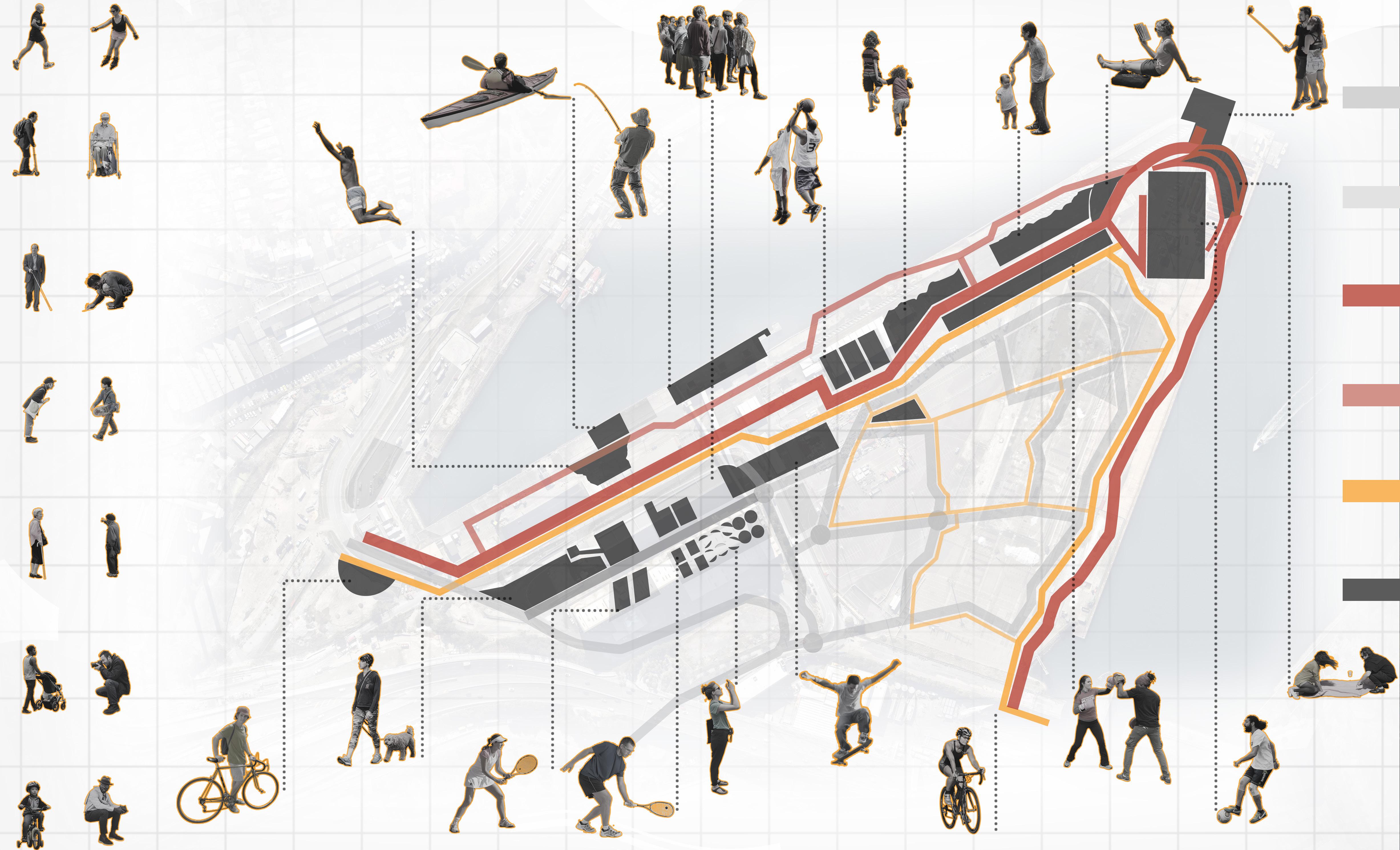
Moving through..
Ecological Activity
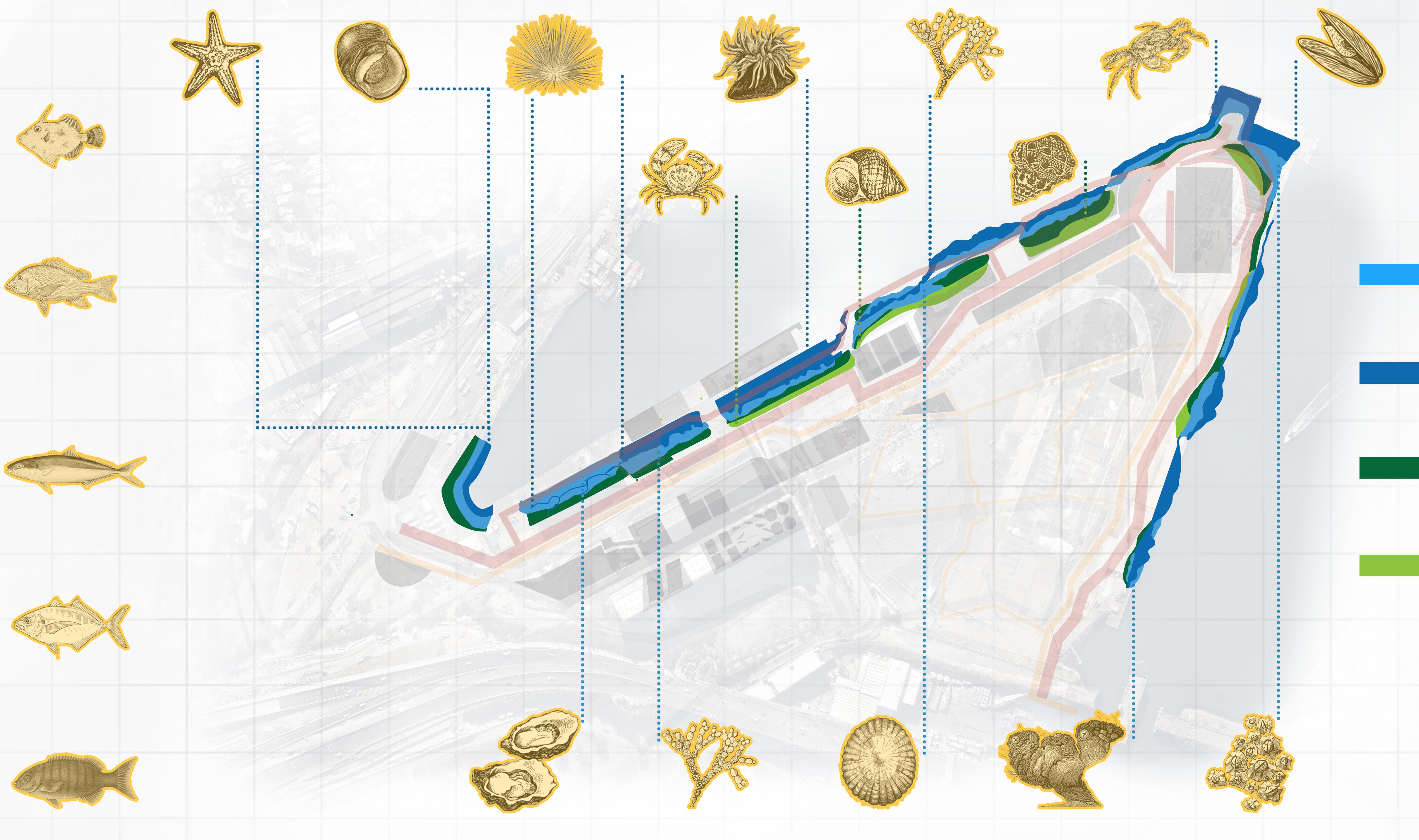
Subtidal passengers
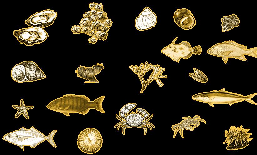
Intertidal Habitats
Seastars
Sea Urchins Gastropods
Crabs
Sea Anenome
Periwinkle
Algae Molluscs
Crabs Mussels
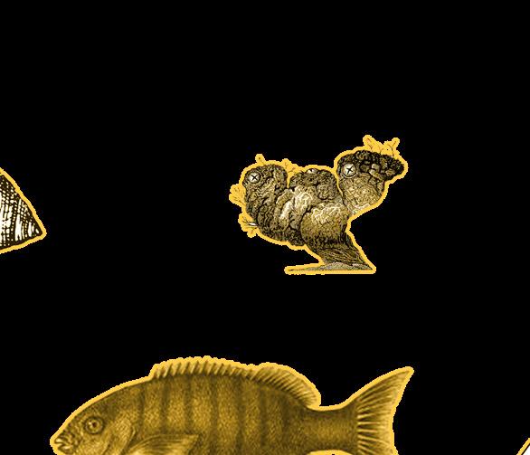
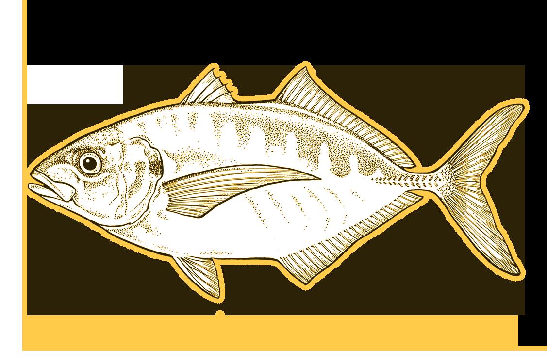
Australian Biscuit Seastar
Leatherjacket Snapper
Yellowtail Kingfish
Silver Trevally
Luderick
Purple Sea Urchin
Turbo Shell Snails
Variegate Shore Crab
Warratah anenome
‘True’ Periwinkle
Neptunes Necklace
Tubercled Noddiwink
Rock Crab
Blue Mussel
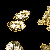
Oysters Lichens
Limpets
Sea Squirts Barnacles Saccostrea glomerata Foliose Algae
Cellana tramoserica
Cunjevoi Pyura stolonifera
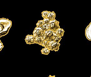
Acorn Barnacle
Moving through..
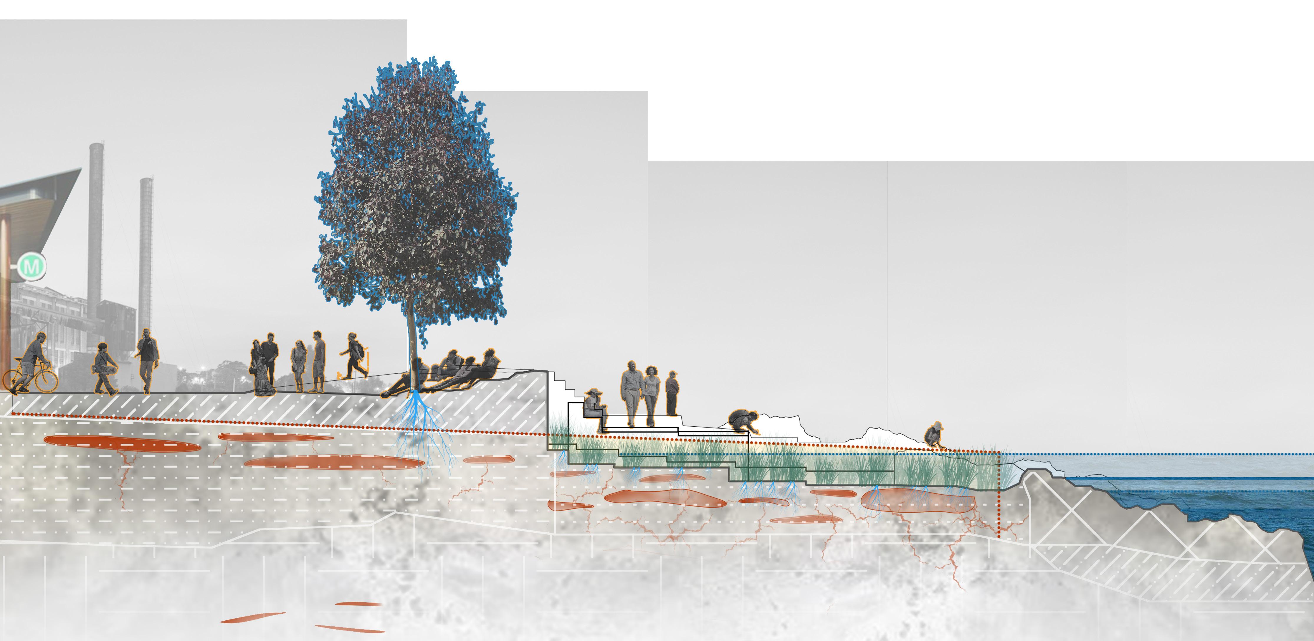
Phytoremediation and Planting
Pollutants Cleaned


Phyto
Aesthetic
Headland Park
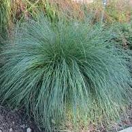
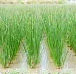
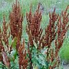
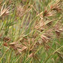
Tussock Grass
Sunflowers
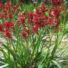
Kangaroo Paw
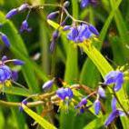
Blue Flax Lily
Common Rush
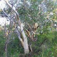
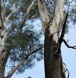
Black Butt Eucalyptus
Melaleuca
Scribbly Gum
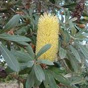
Banksia Scrub
Kangaroo Grass
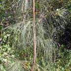
Allocasurina
Curly Dock
Moving through..


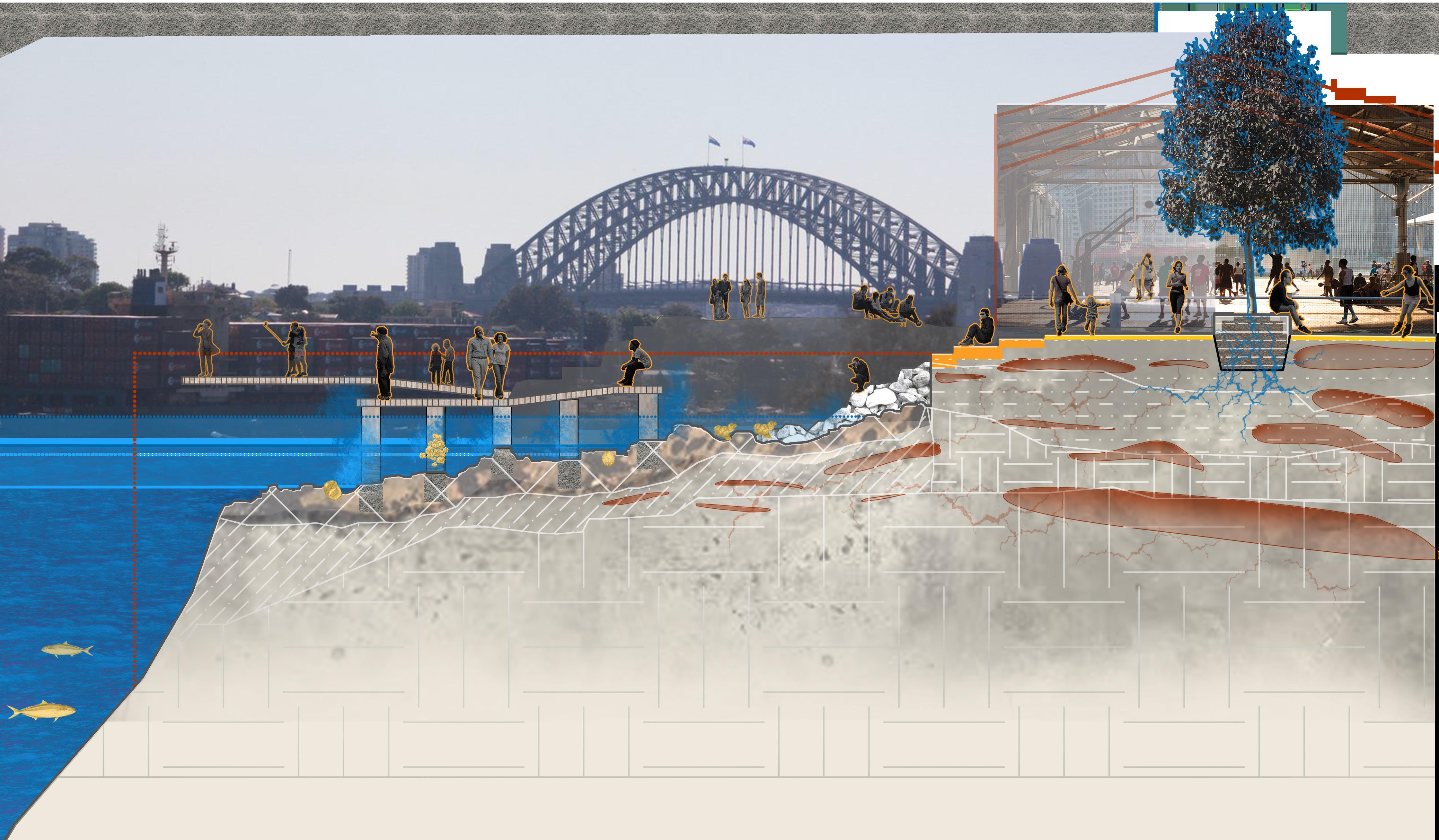
Sydney Rocky Shore Intertidal Habitat
Sydney Harbour Bridge Views
Moving through.. Pinnacle
Design Point

closest human interaction with waterfront

Intertidal ecology & waterfront connection
Phytoremediation cleans soil prior to 2100 interaction with tide
The Bays Metro station Metro meeting precinct
headland park landmark tree Rent-a-bike station
Moving through The Bays Model
- Human Activity
Moving through The Bays
Model - Intertidal Detail
At The Bays