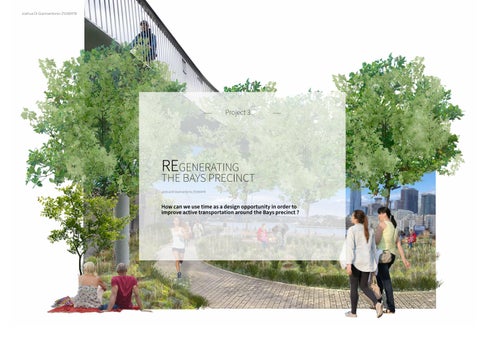
How can we use time as a design opportunity in order to improve active transportation around the Bays precinct ?
Project 3
Joshua Di Giannantonio Z5160478
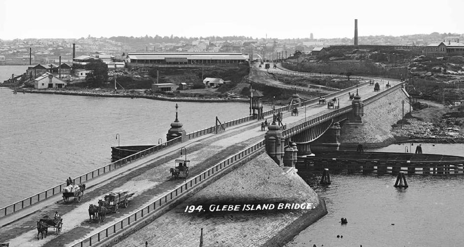
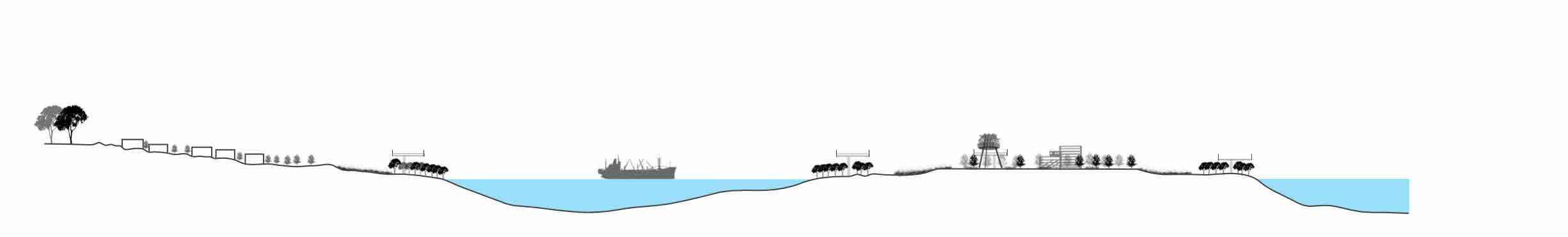
Past
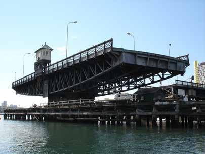
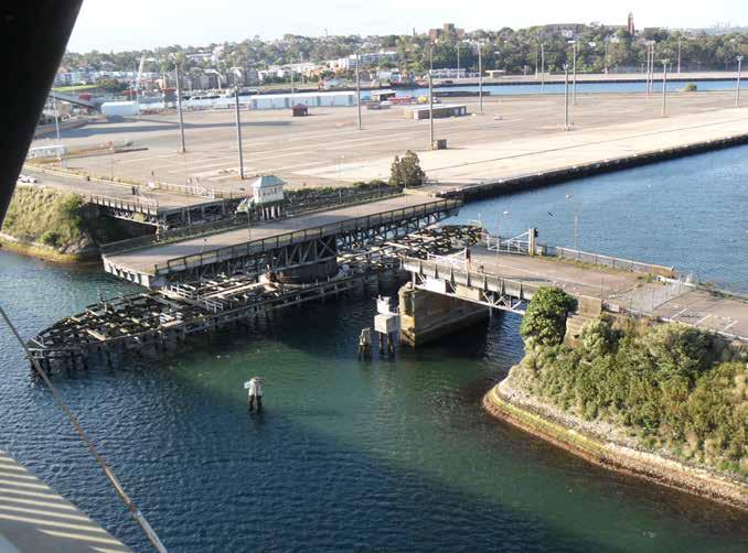
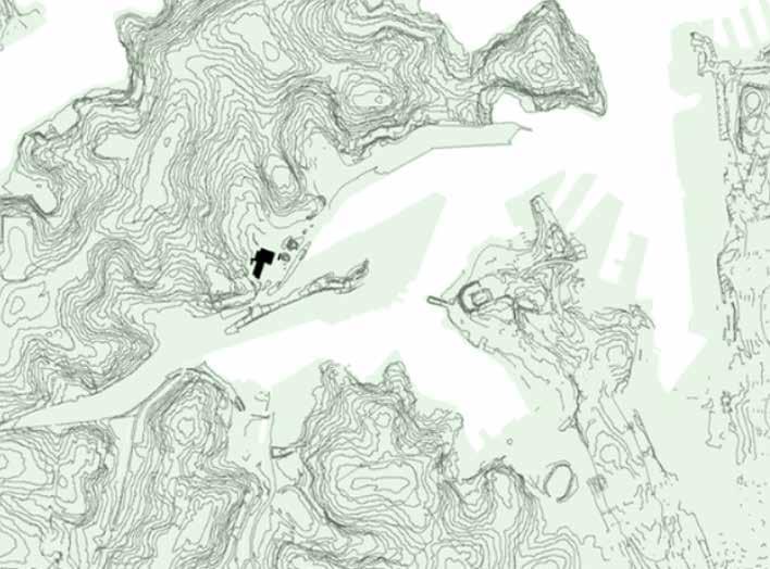
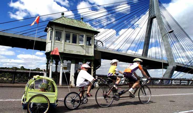
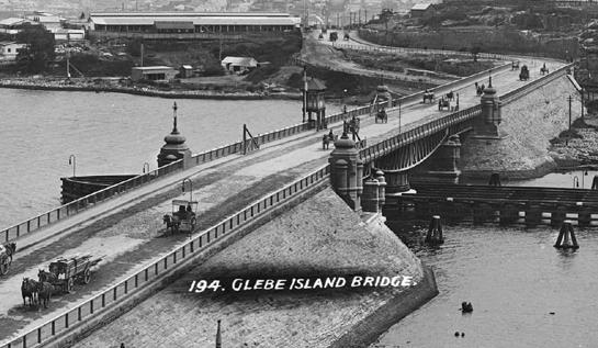
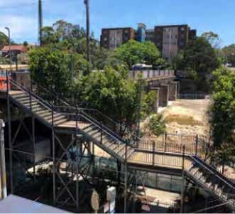
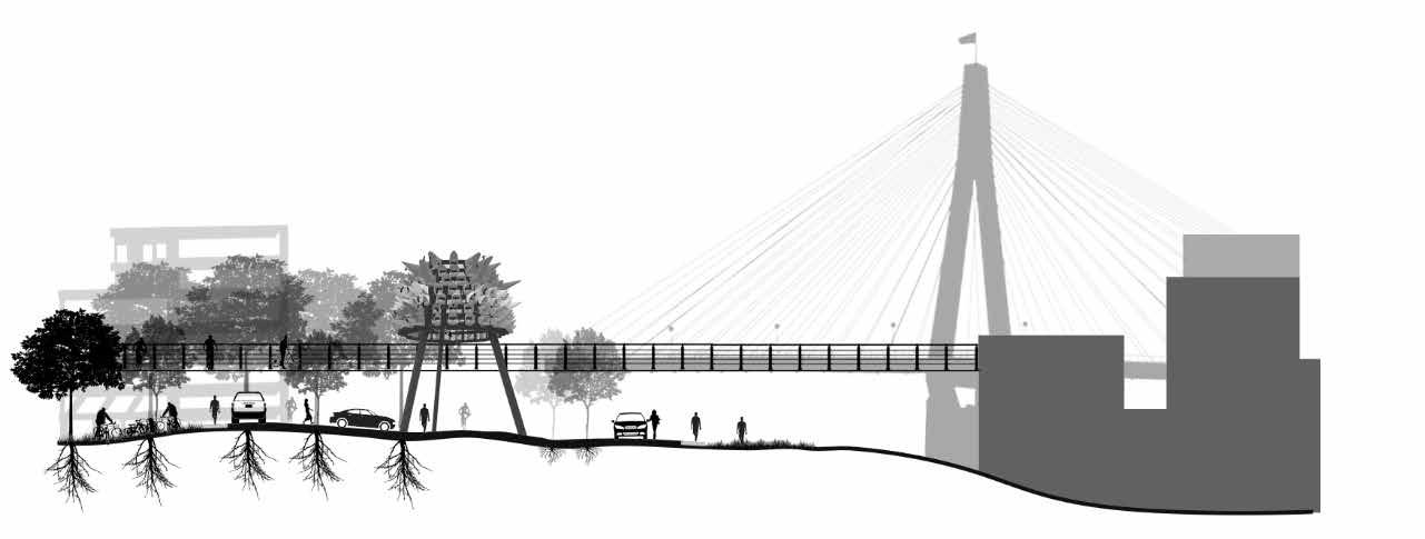
Glebe Island Bridge
How can we link the history of the site to active transport in order to represent how time has passed through the bays precinct ?
Can the Past inform the Present ? How can we learn from the sites Transportation history ?
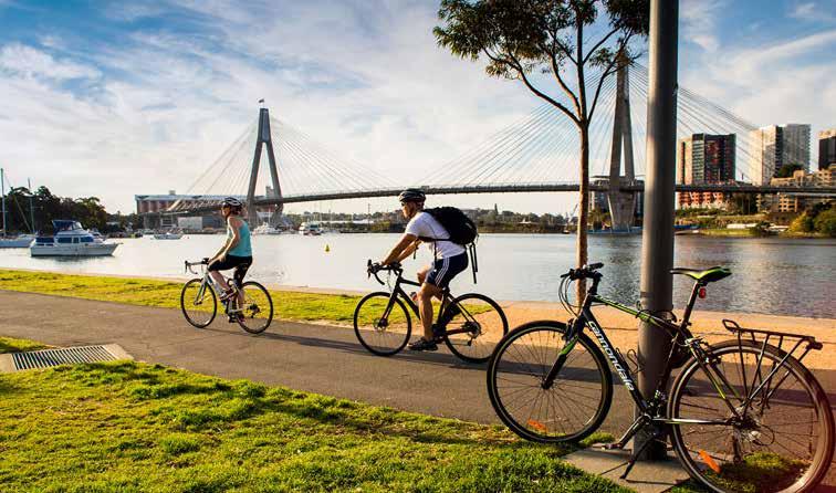
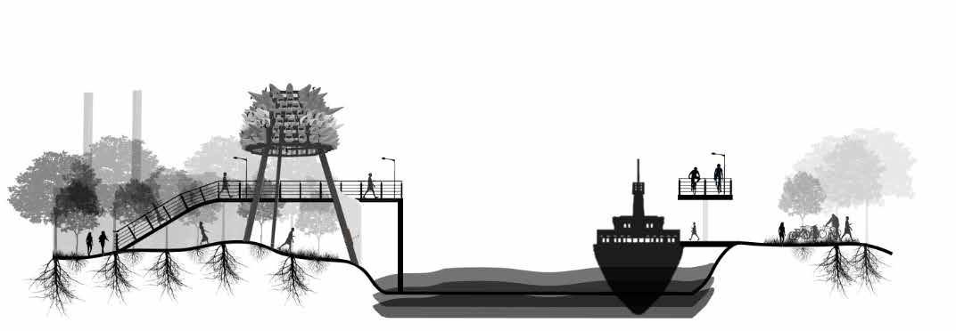
1855, THE OPENING OF THE SYDNEY GOODSLINE
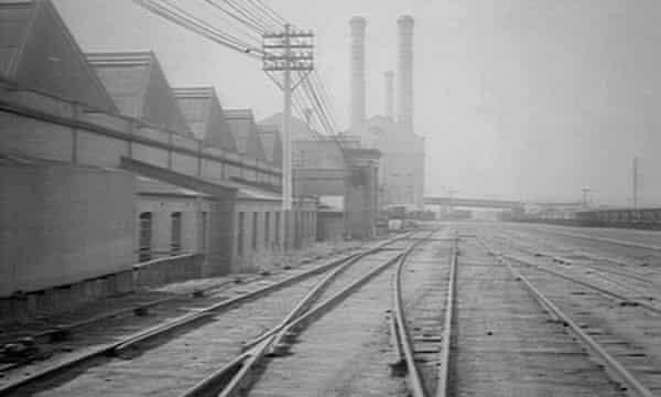
Present
Transport Today
What can we do now ? How can the current conditions of the site inform or influence future change around the Bays Precinct ?
1855, THE OPENING OF THE SYDNEY GOODSLINE
Future
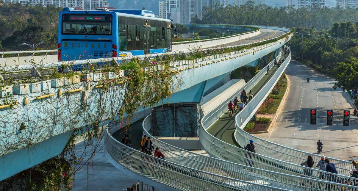
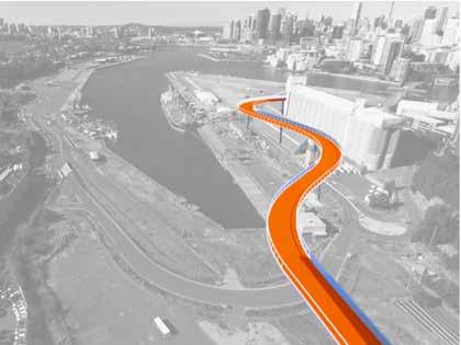
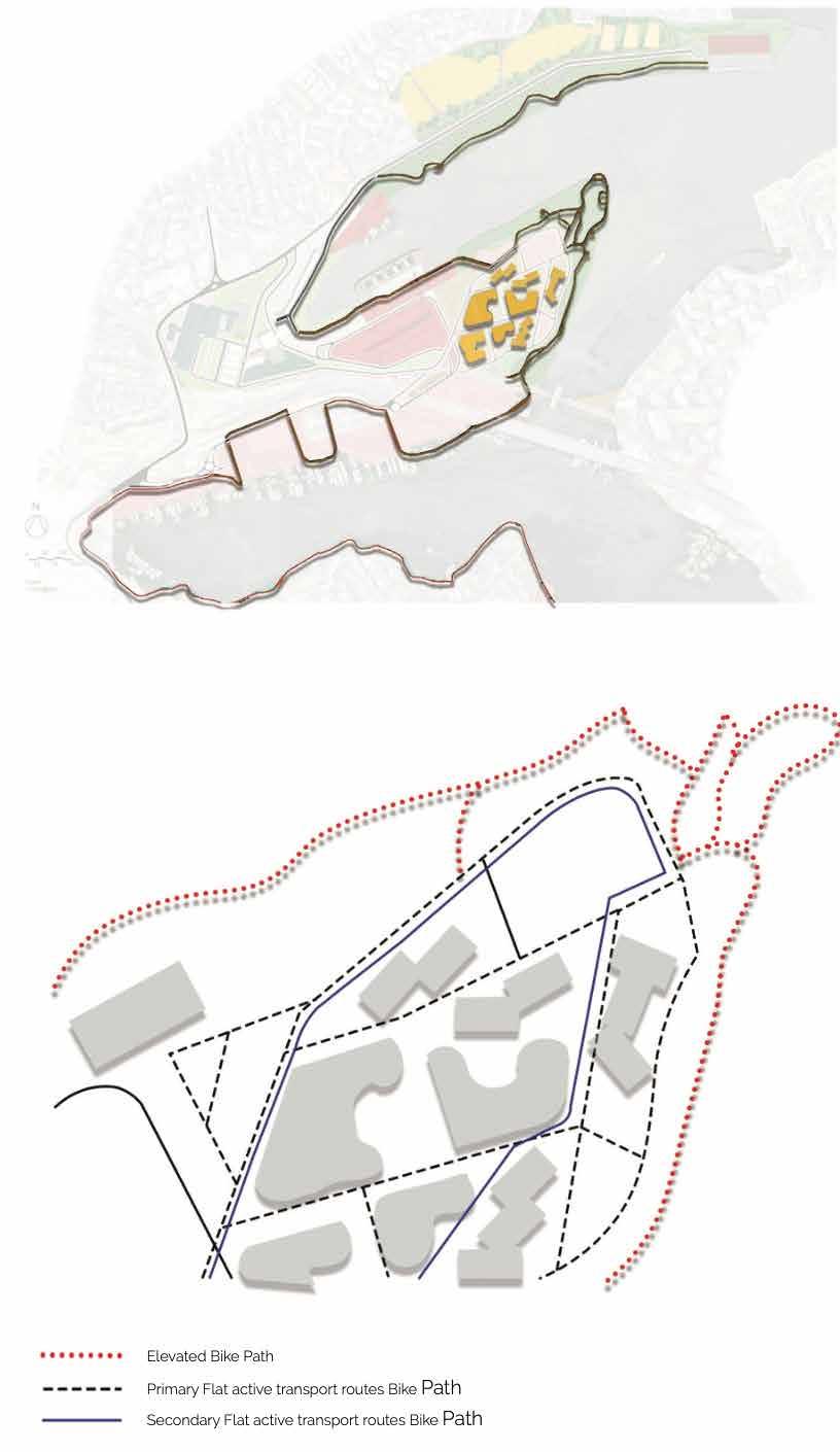
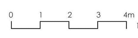
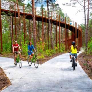
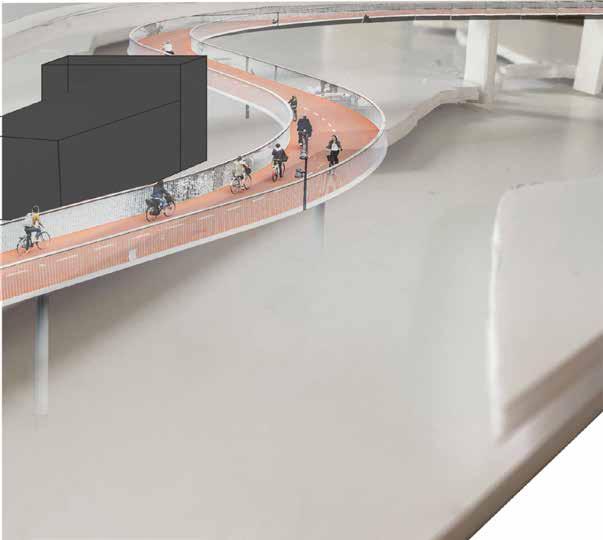
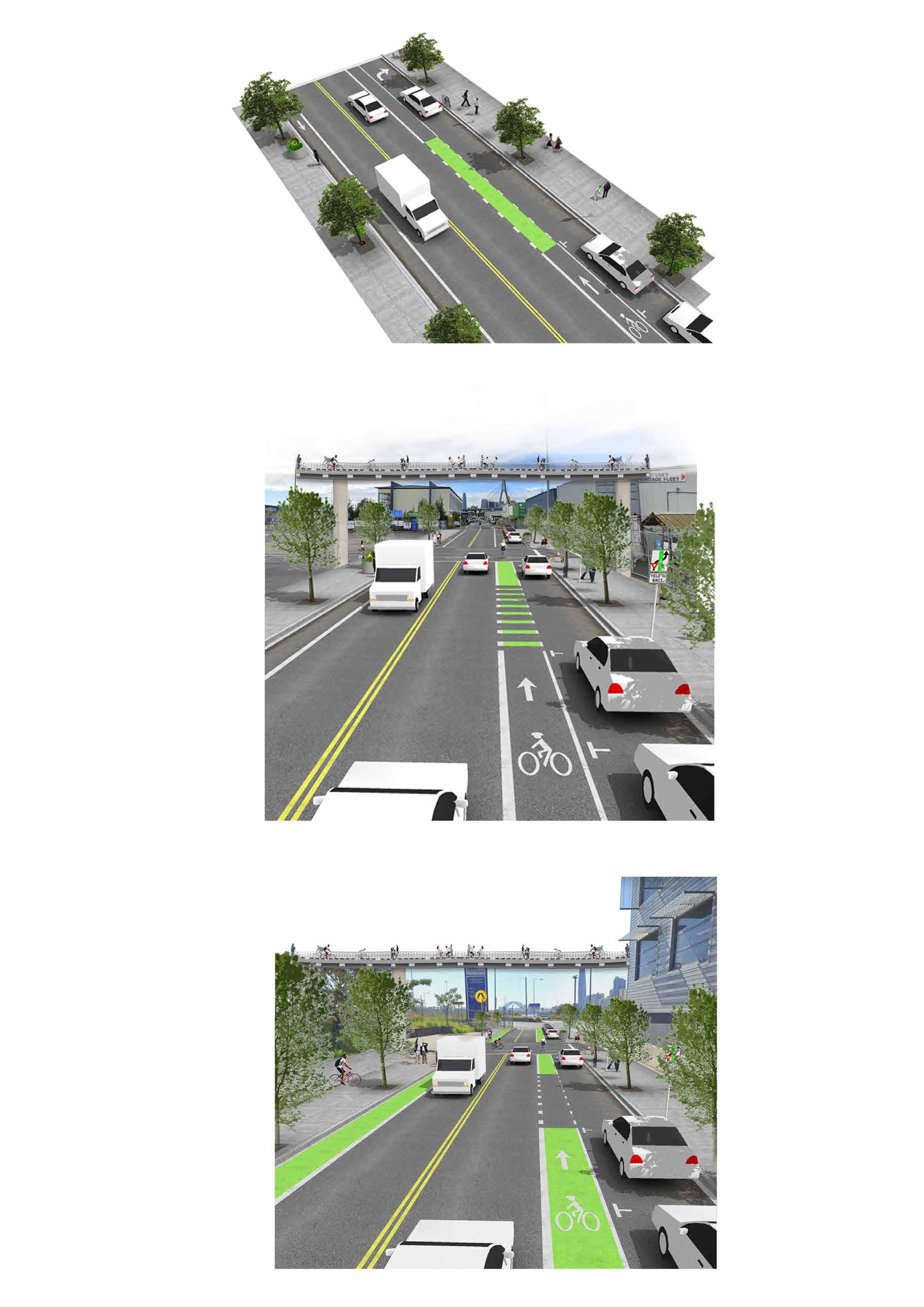
Elevated Bike Path Network
How can we REgenerate these existing historical markers at the Bays precinct. How do these existing historical markers change over the next 50,100, 200,500 years ?
1855, THE OPENING OF THE SYDNEY GOODSLINE
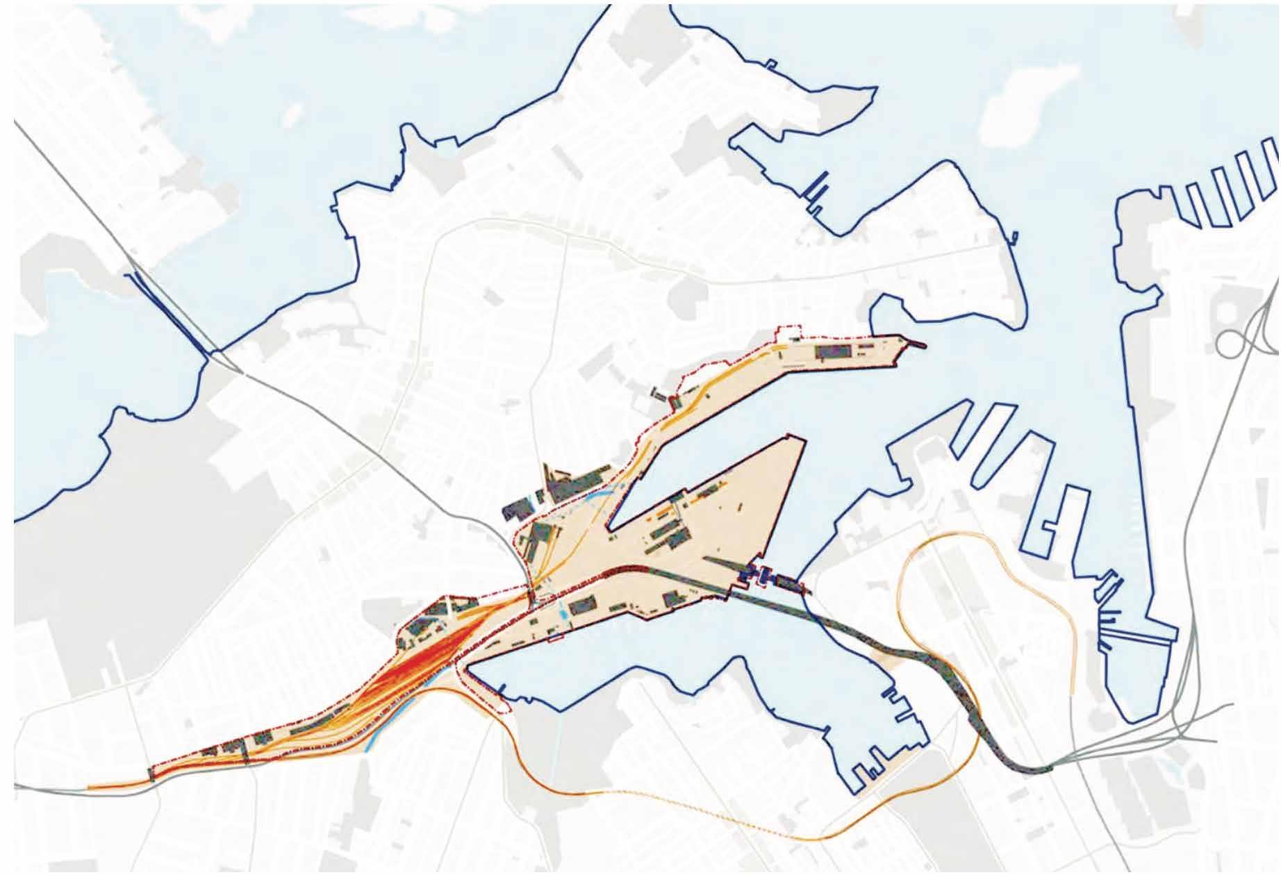
FUNDAMENTAL ASSEST
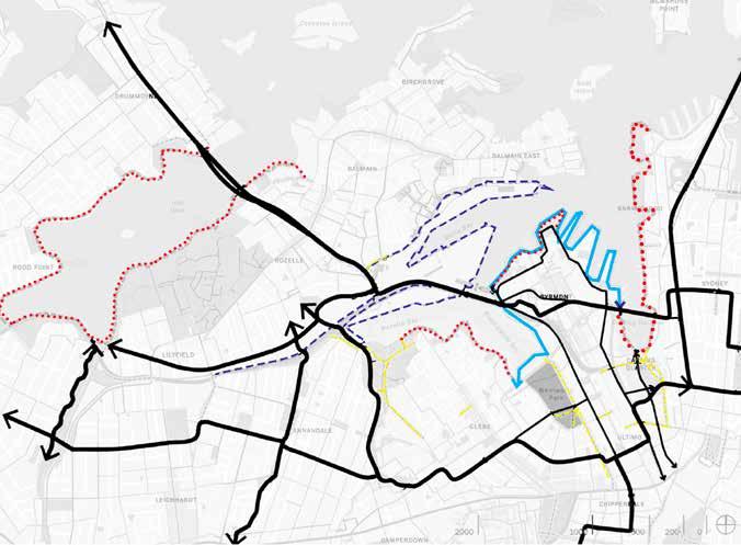
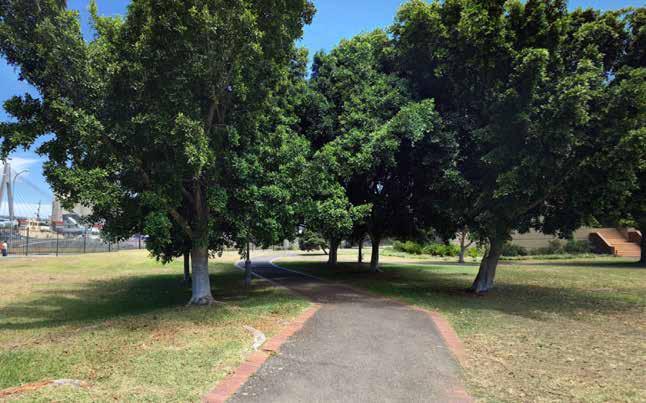
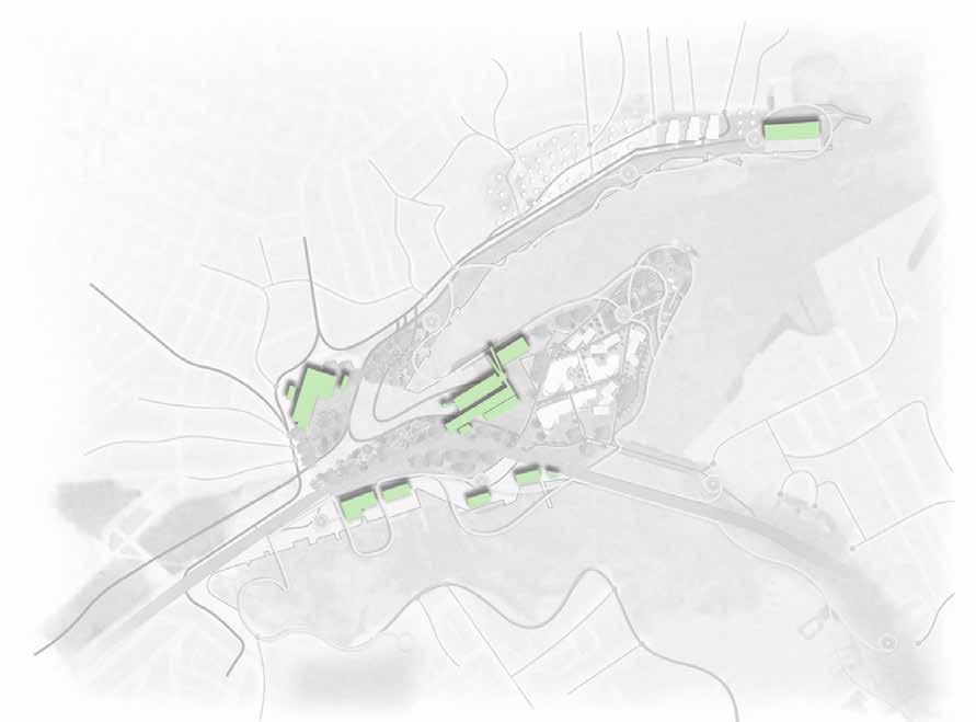
Connections to surrounding open space
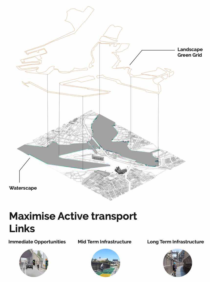
Unlock permeability at precinct edges via access nodes aligned to existing connections, greater permeability along the boundary to Balmain/Rozelle and connections to surrounding open spaces including callan Park
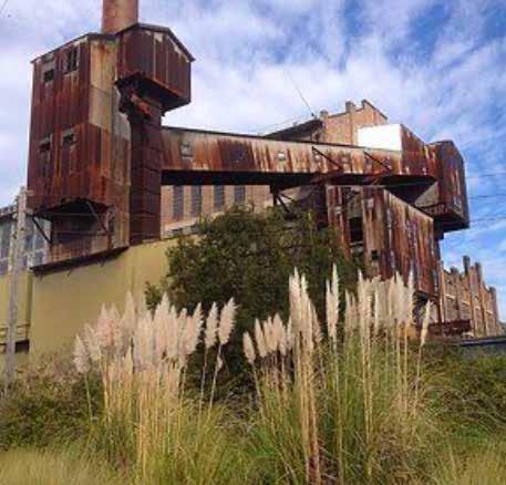
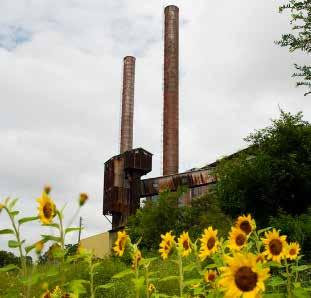
Historical Markers
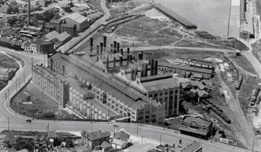
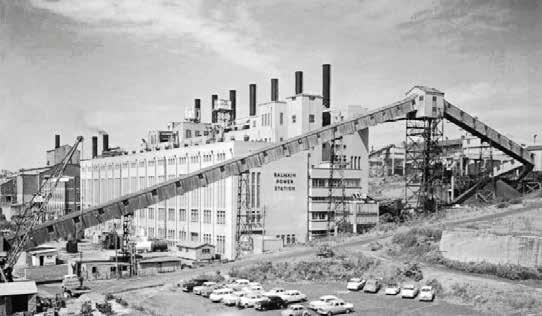
How can we REnew these existing historical markers at the Bays precinct specifically looking at Glebe Island bridge and WhiteBay Power Station. How do these existing historical markers change over the next 50,100, 200,500 years ? How do these influence active transport around the site ?
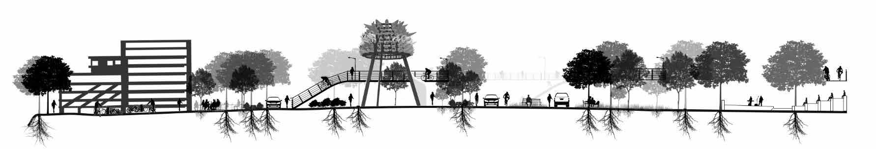
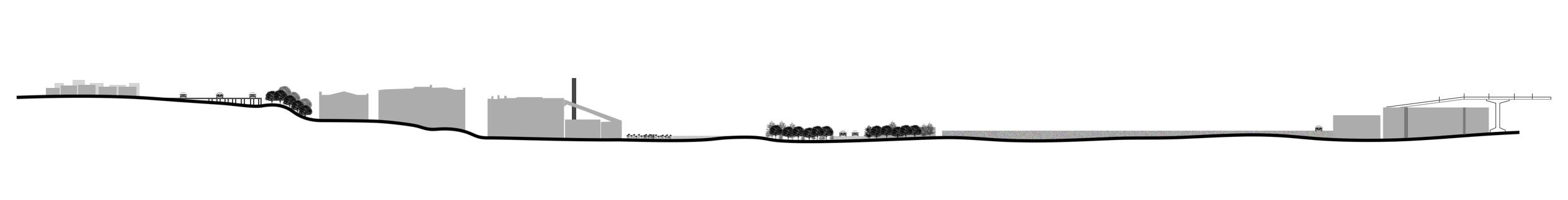
Infrustructure and Topography
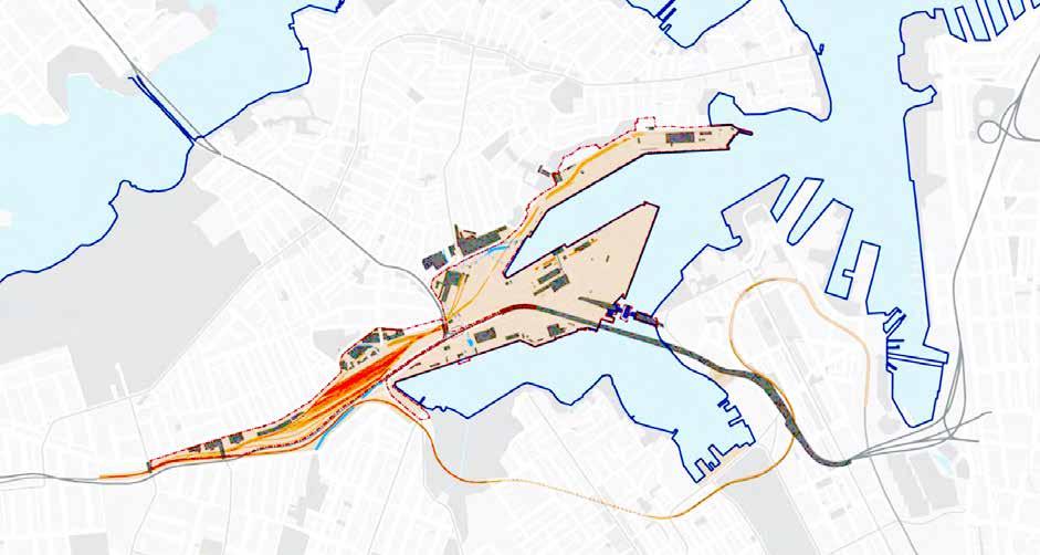
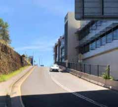
The road infrastructure has evolved beginning with the widening of Victoria Road in the 1930s. The changing ways the land has been used has cut the precinct off from its surroundings. Major transport routes today are a product of the topography, the Harbour and the settlement pattern. The White Bay Power Station is at nexus of these routes. These have resulted in strategic benefits but also natural environmental impacts.
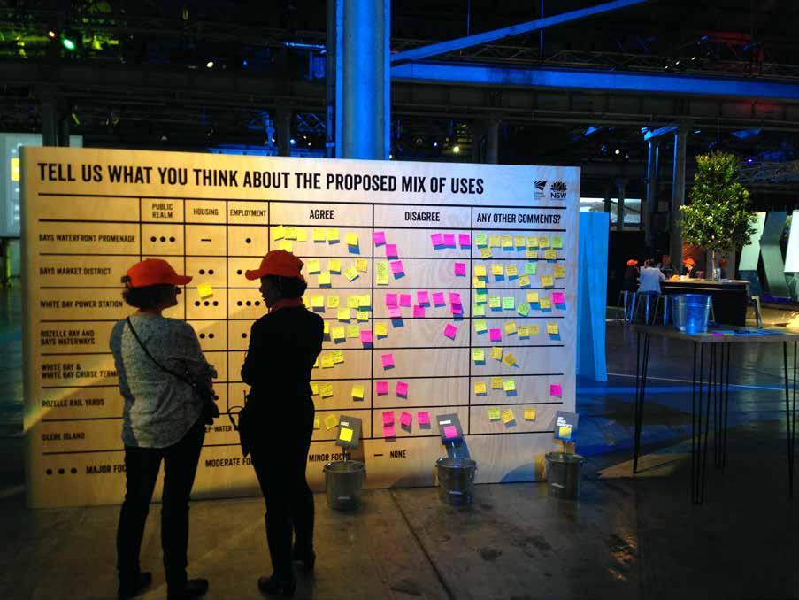
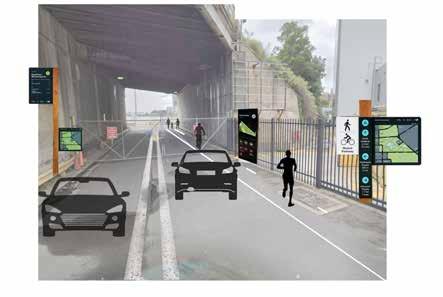
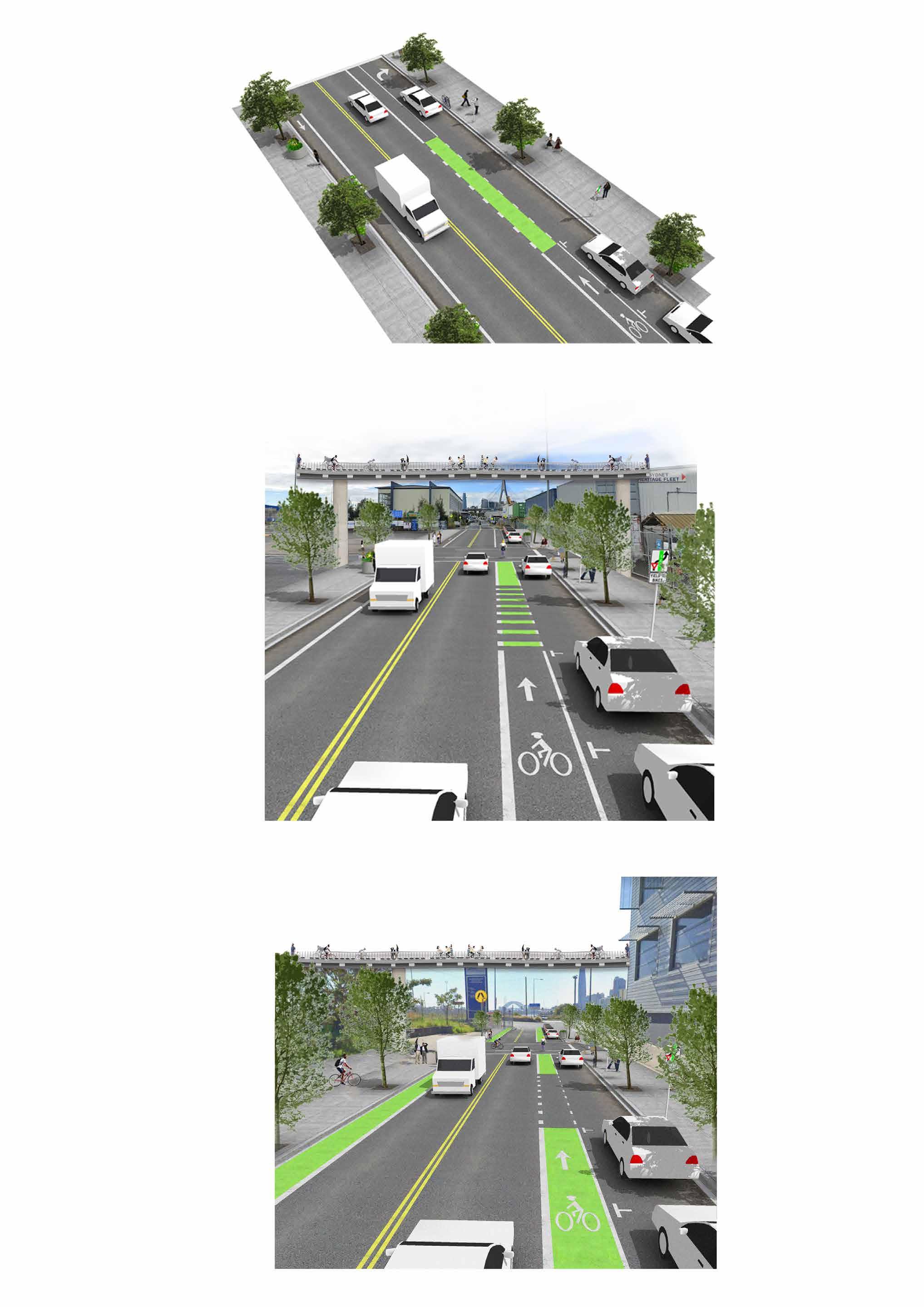
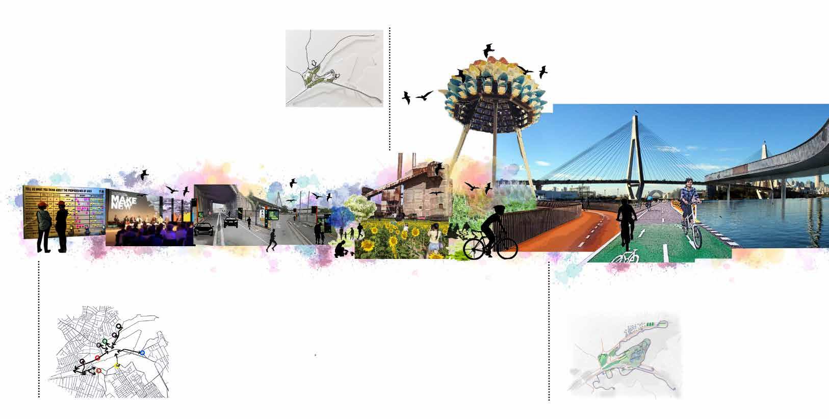
PREVIOUS ACTIVE TRANSPORT COMMENTS:
(Inner west residents)
What
can we do NOW ?
- “ Some cycling routes are in poor condition and are opportunities to improve accessibility.”
- “ Cycling infrastructure also needs to be provided.”
- “Cycleways that are not lit can be dangerous at night.”
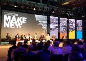
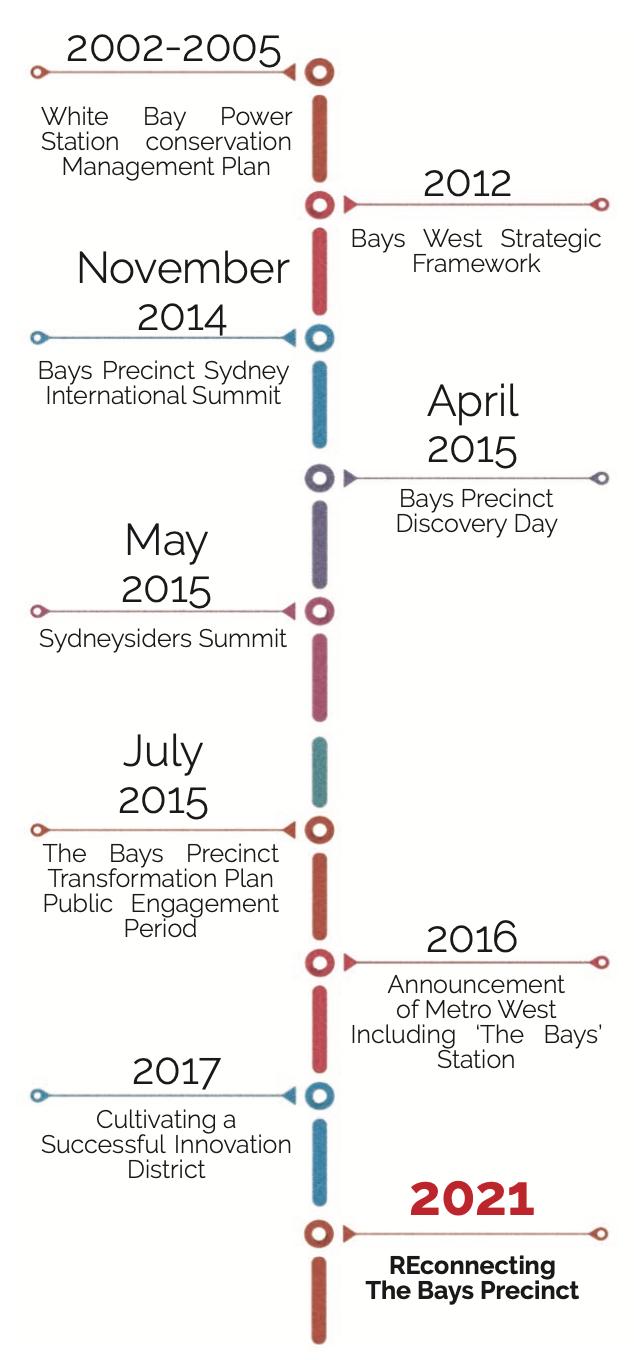
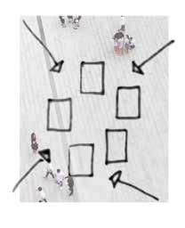
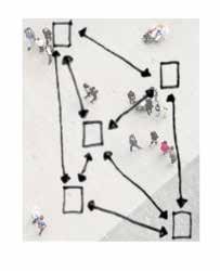
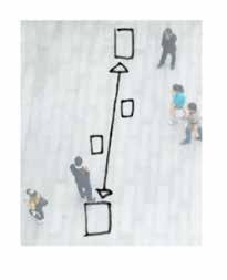
Community Stakeholder Consultation Timeline
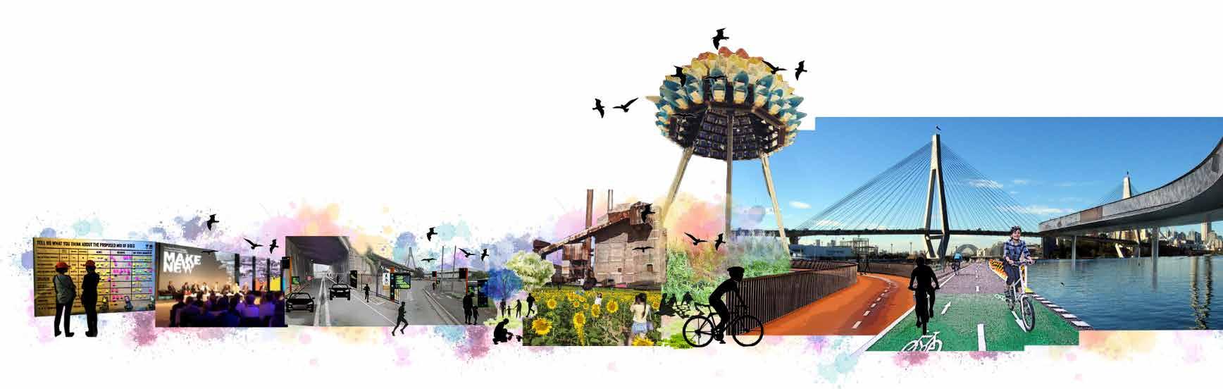
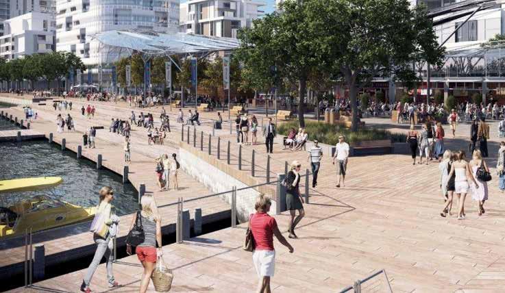
REgenerating The Bays Precinct
VISION
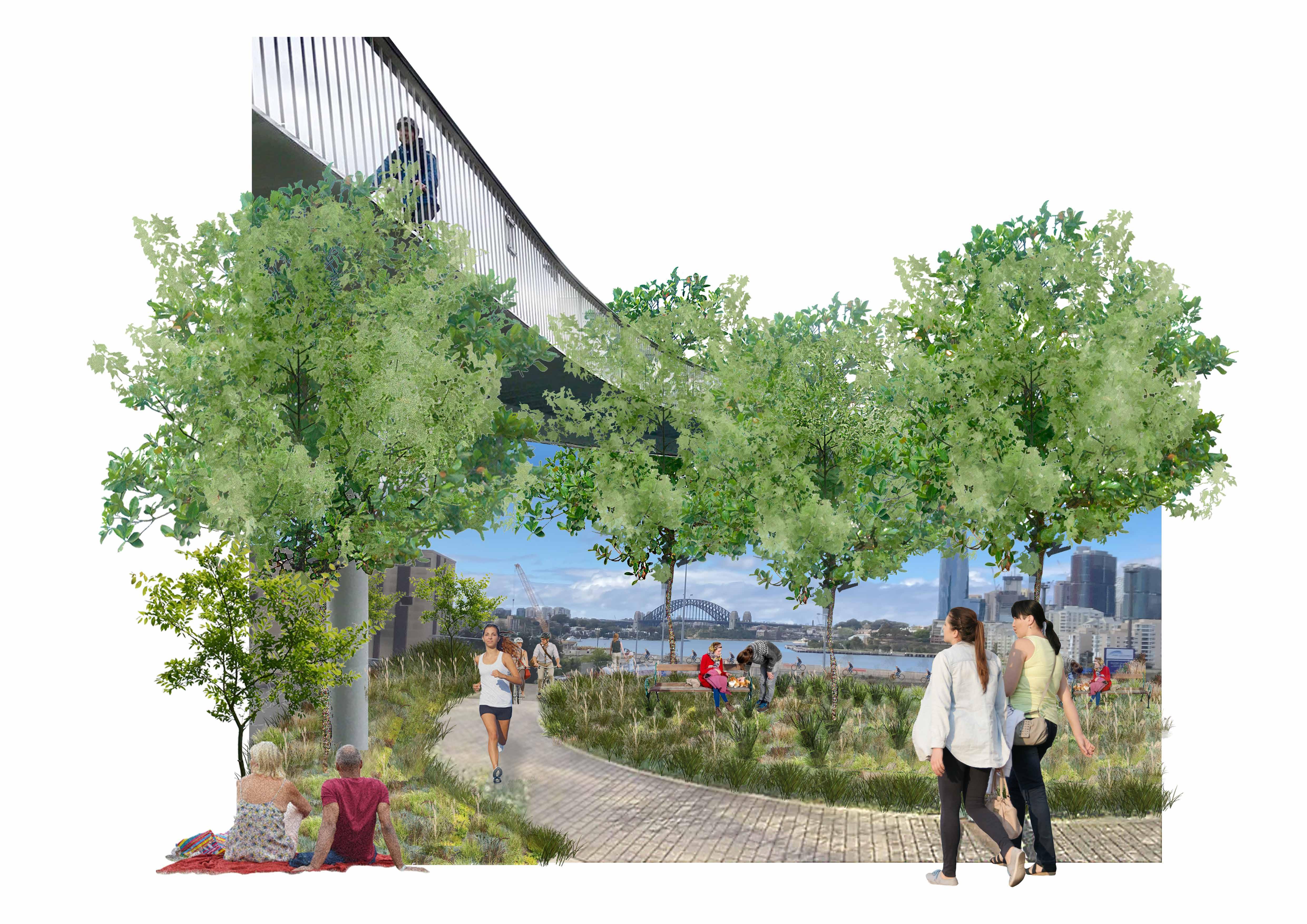
REgenerating the Bays
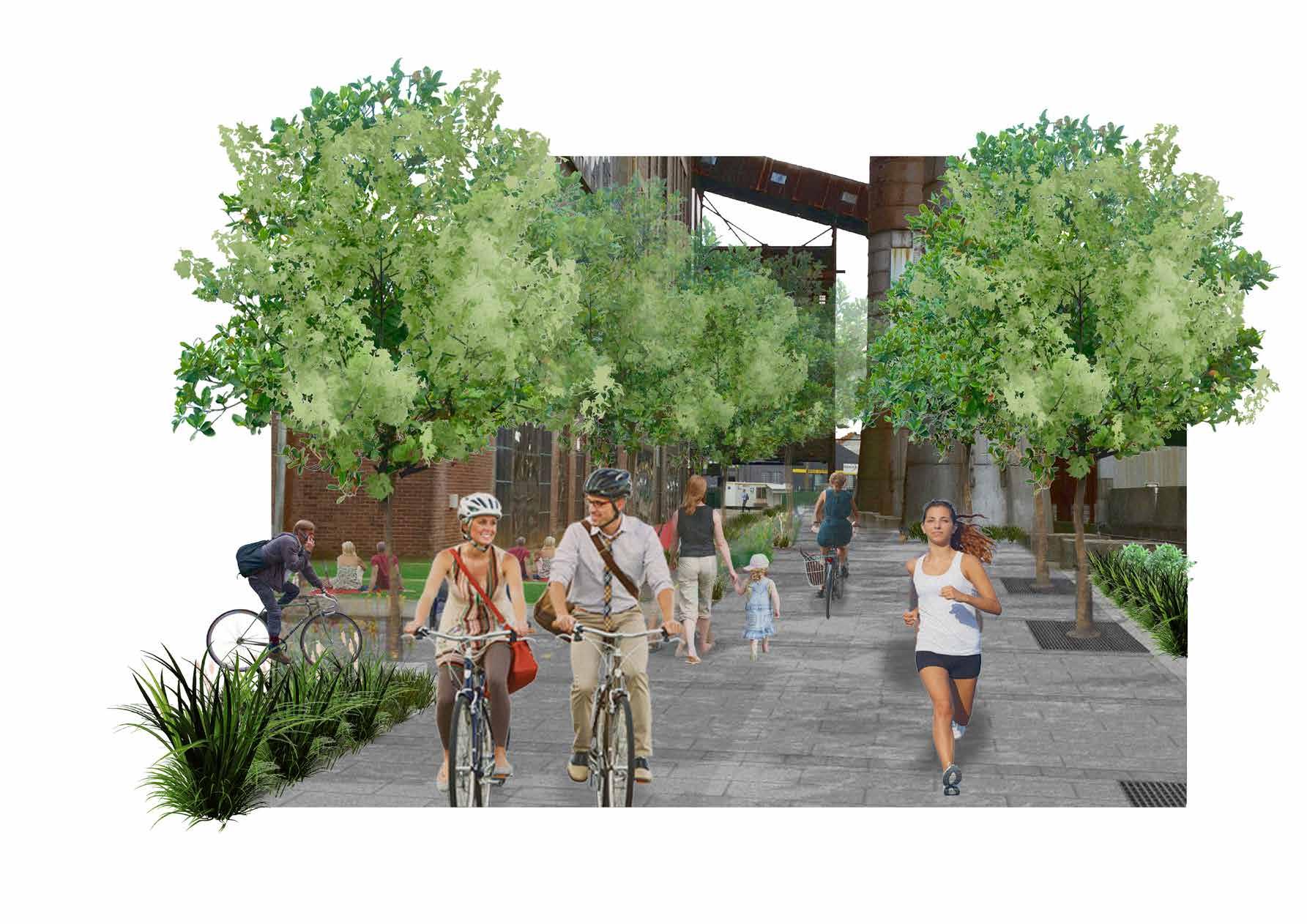
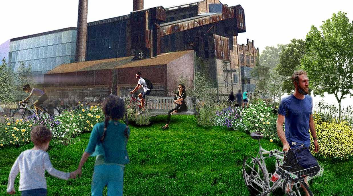
The Bays Precinct will become a world-class active transport community. Everyone in the Bays Precinct will be able to travel by bicycle on a comfortable, safe and connected bicycle network. Bicycling will become a viable transportation option and will elevate the quality of life for people traveling to and from the Bays Precinct.
THE BAYS PRECINCT
GUIDING PRINCIPLES
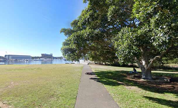
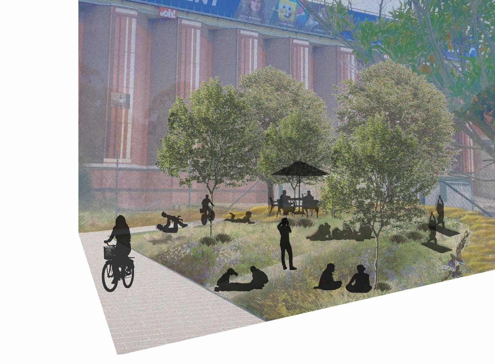
Relaxing and taking in the expansive view of the harbour as well as surrounding green spaces.
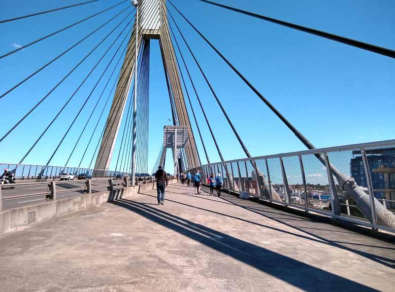
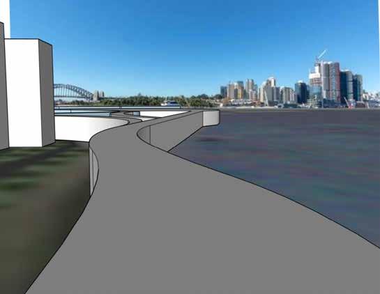
Wide pathways and designated bike path over Glebe island bridge
Understand the prior use of the Glebe Island Bridge and its role in transportation.
Visitors enjoy a community event that will be held on Glebe Island as well as use of active transport networks.
Cycle routes connecting the precinct for everyone to use
Existing active transport and wide generous pathways to link with Glebe Island.
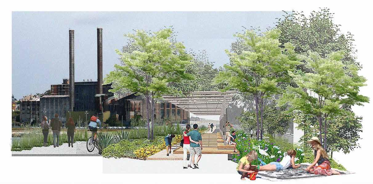
Wide pathways and modern seating in the historic Glebe Island.
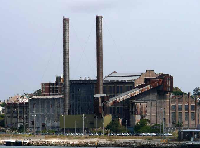
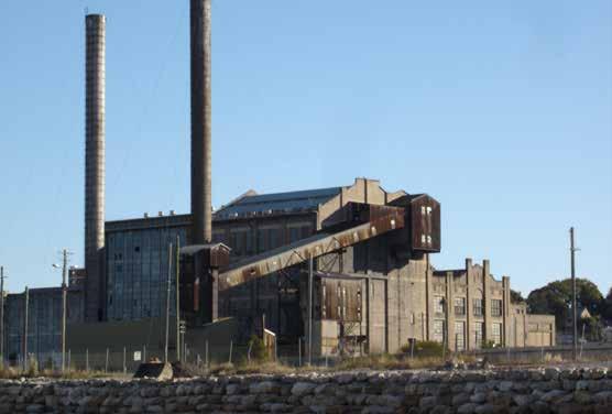
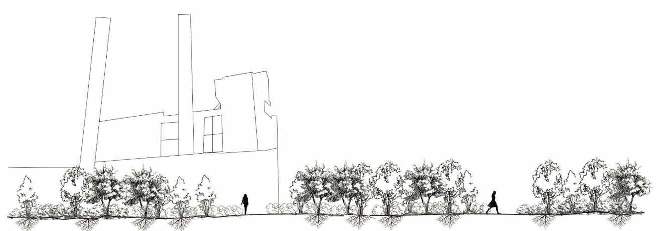
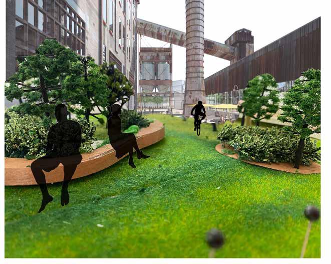
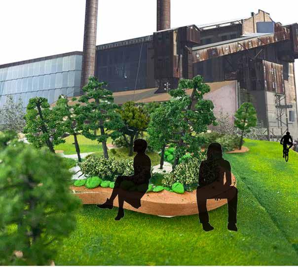
White Bay Power Station.
phytoremediation to be conducted outside of White Bay Power station with the main objective to clean contaminated soils over time
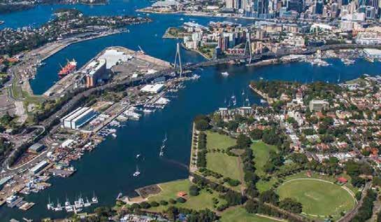
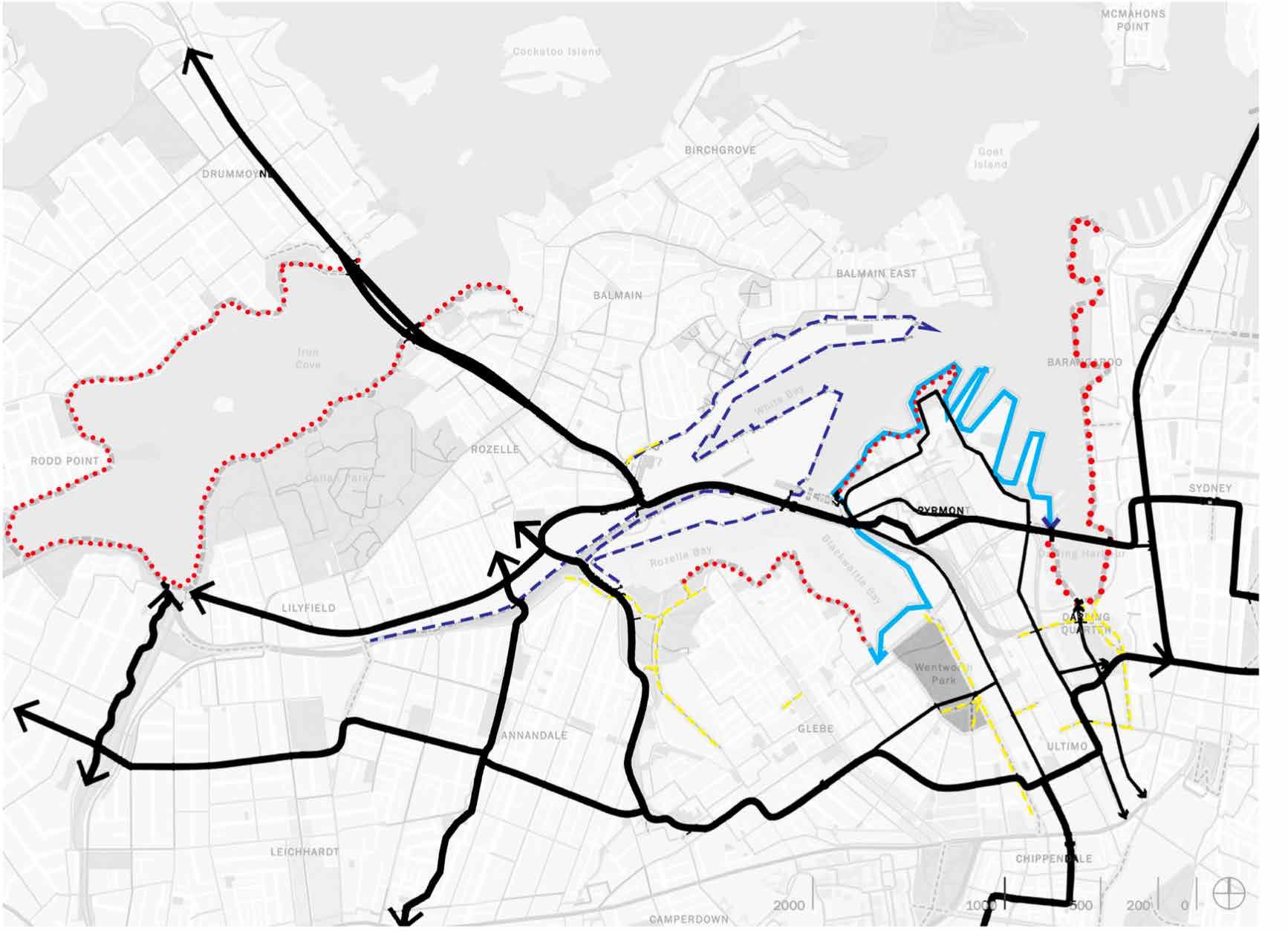
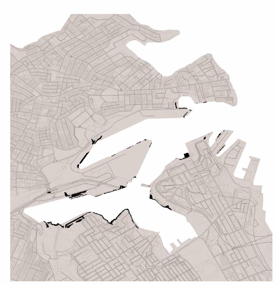
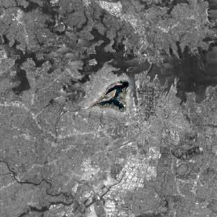
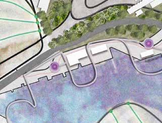
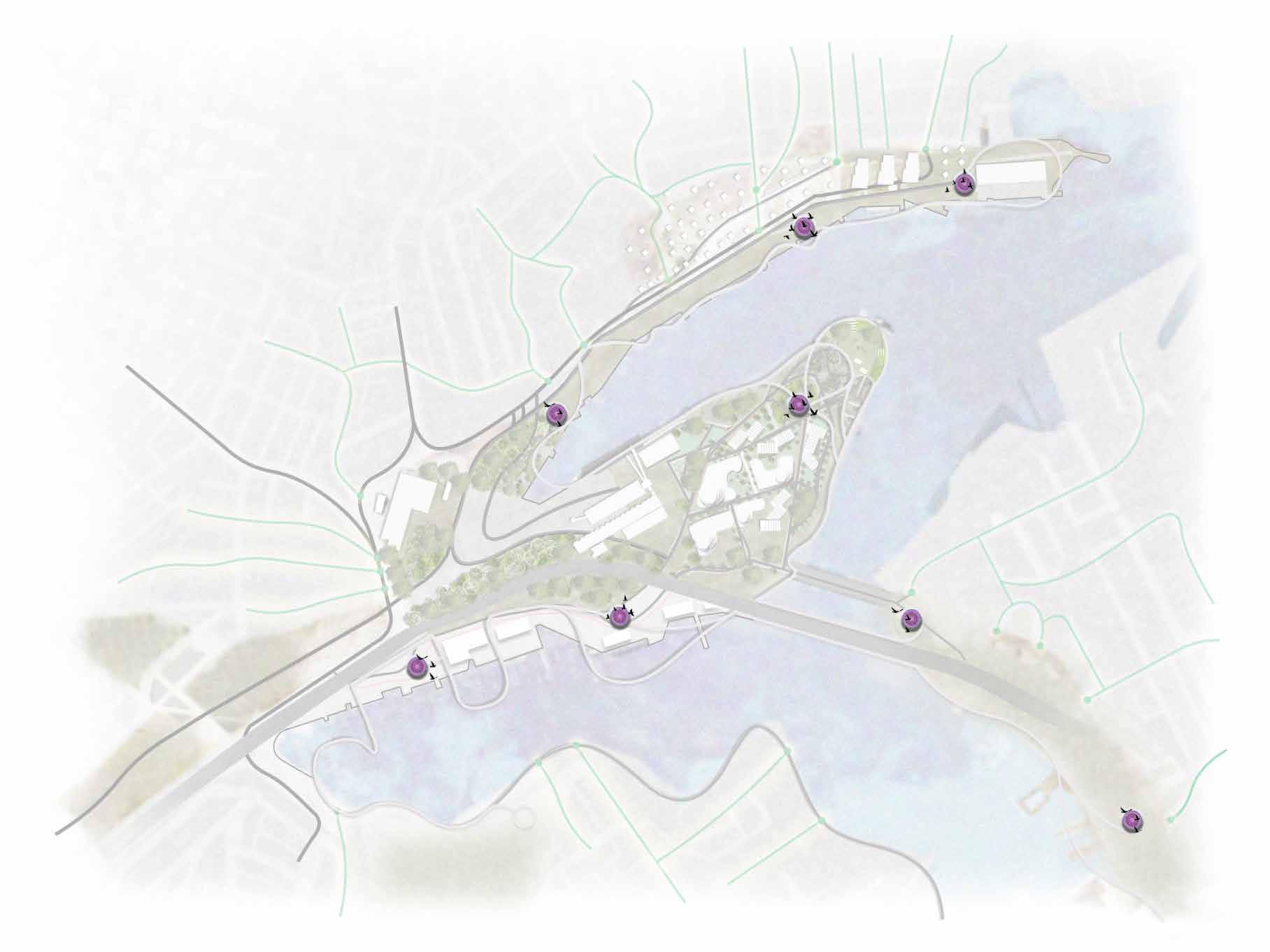
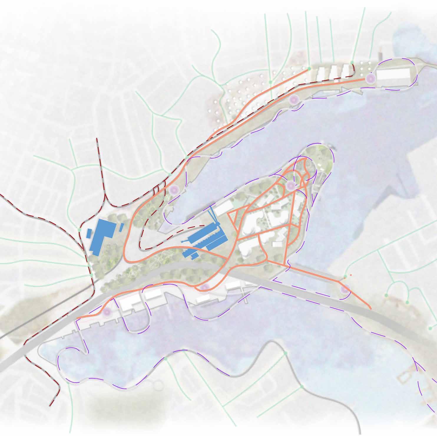
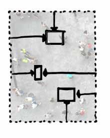
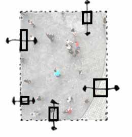
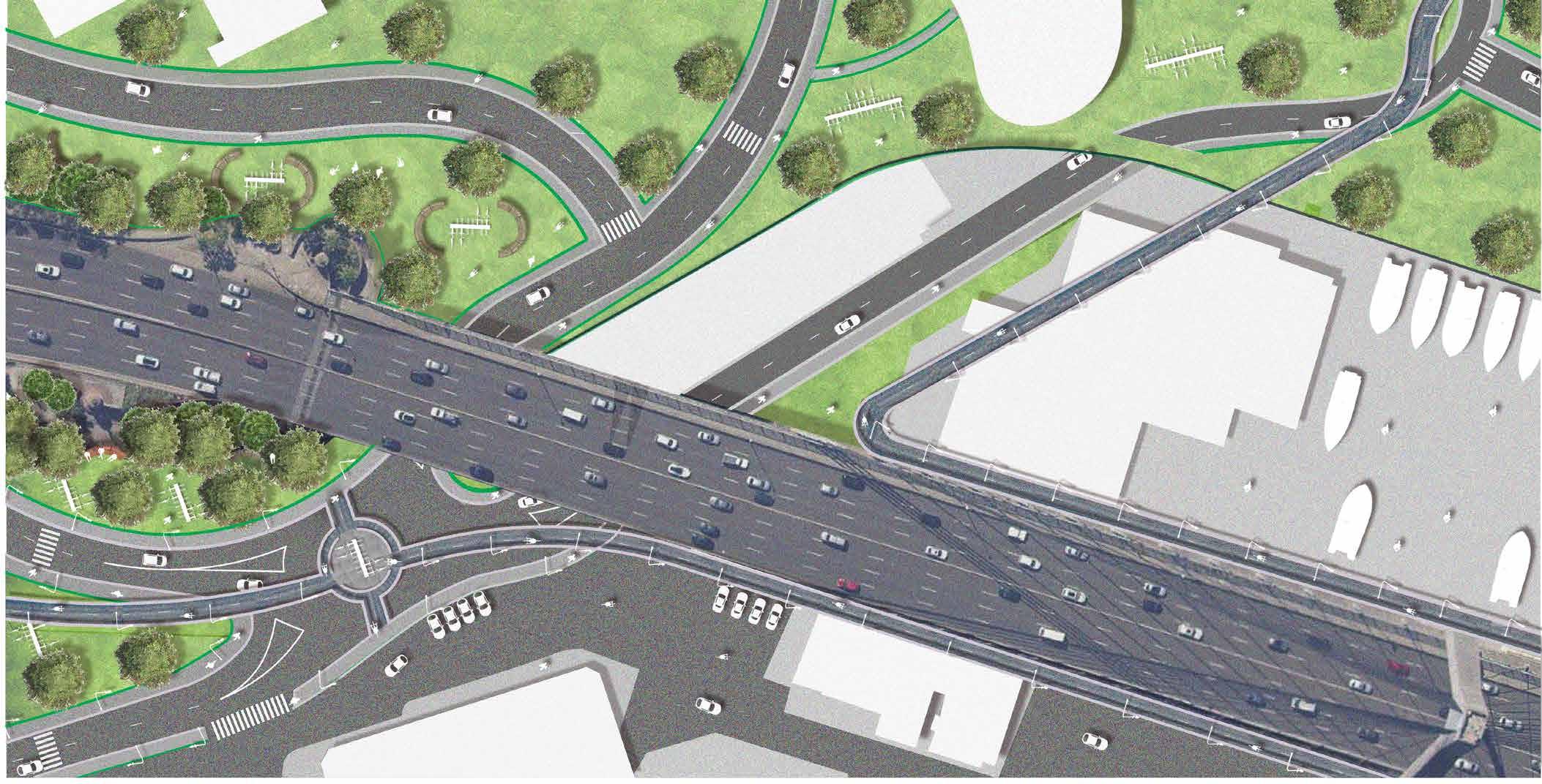
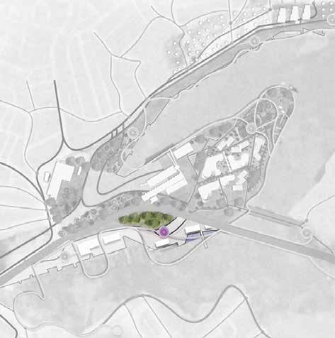
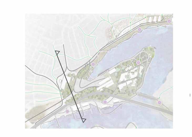
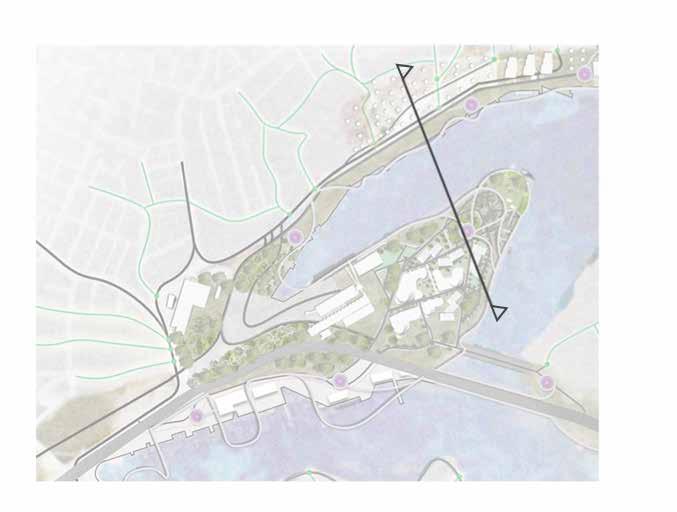
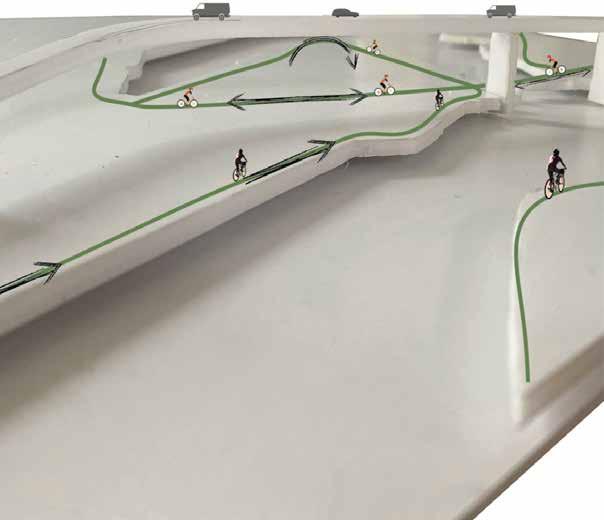
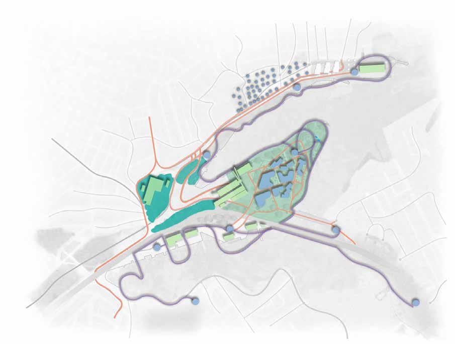
SITE ANALYSIS
What if we could Improve the precinct’s connectivity and integration into its locality and surrounding areas ?
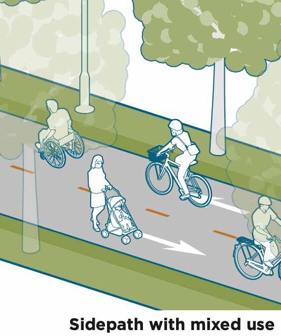
Regional Active Transport network
Off road shared path network
Harbour Foreshore walk
Foreshore shared path network
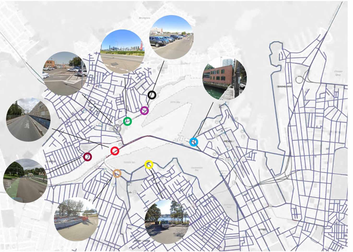
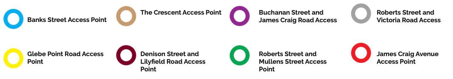
Access for active transport
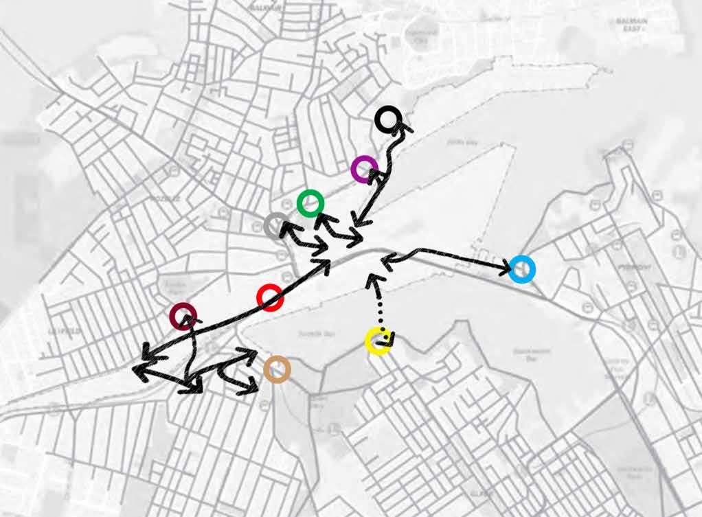
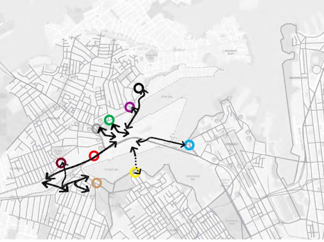
What if we were able to access more of the site ?
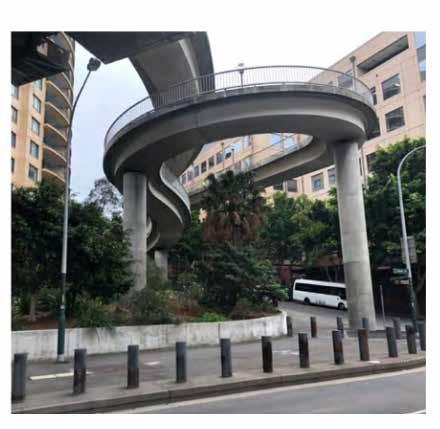
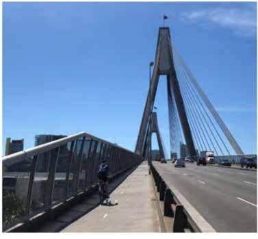
Anzac Bridge pedestrian ramp in Pyrmont
Off road shared path in Bicentenial Park
Anzac Bridge shared path
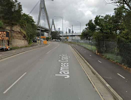
Steep Topography changes on Glebe Island
Sandstone cutting under Anzac bridge towards Glebe Island Bridge
Lilyfield light rail station
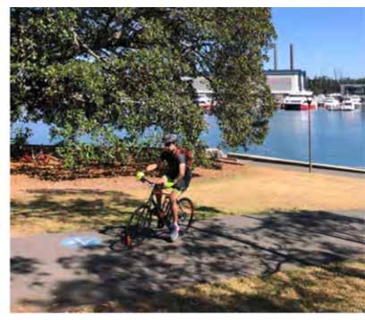
BEFRIEND: Images were sourced from Isabel Peng, Georgie Purkiss and Harry Dunn helping me locate access points around the site
BEFRIEND: Images were sourced from Isabel Peng, Georgie Purkiss and Harry Dunn helping me locate access points around the site
SITE ANALYSIS
How can we combat the impacts of sea level rise ? How does active transportation look at the Bays ?
Sea level rise scenario to observe how the 2100 high tide inundation changes
2100 I + 0.74m Highest Tide
Maximise Active Transport Links
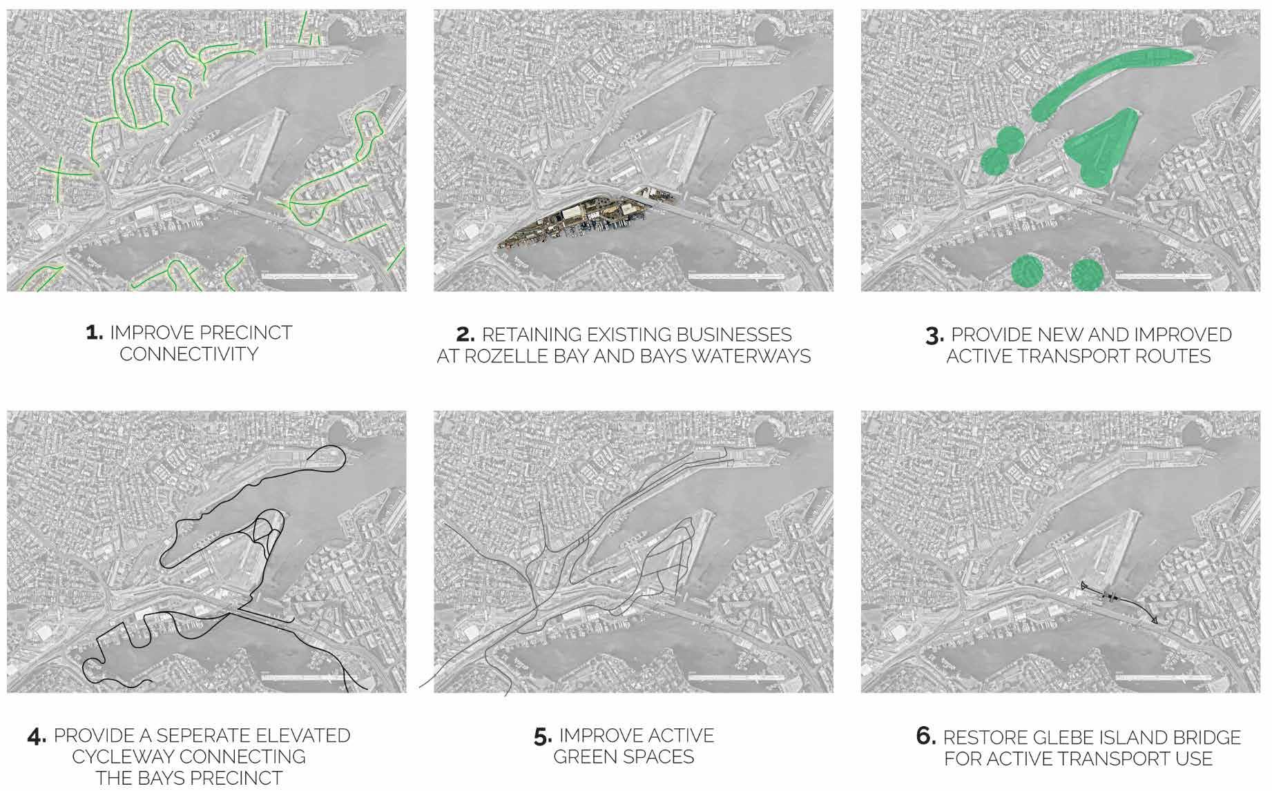
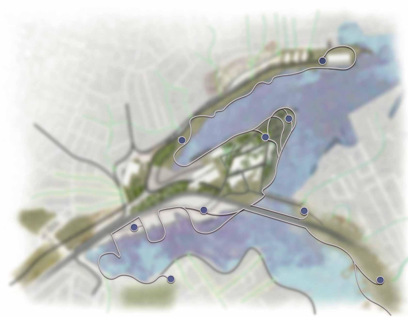
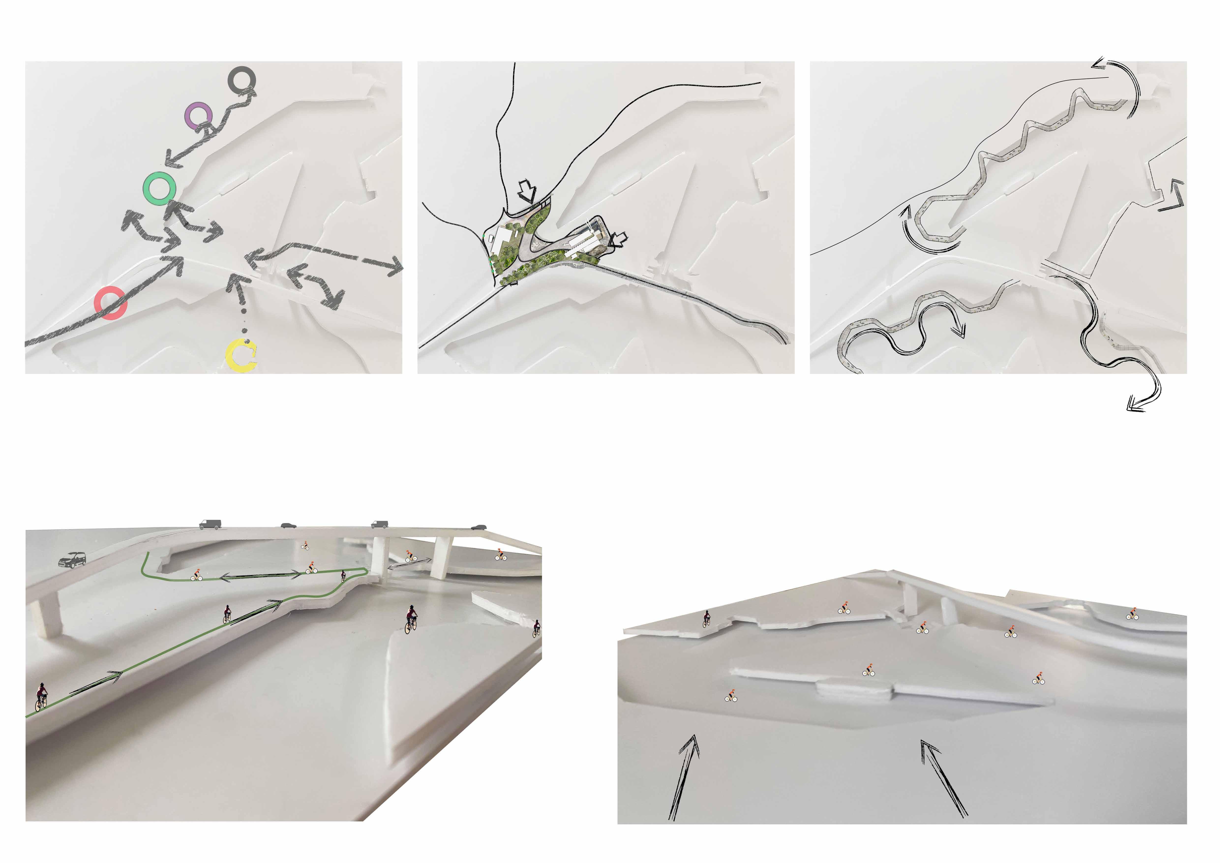
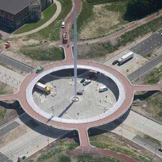
KEY MOVES
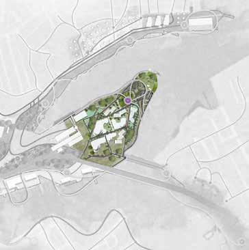
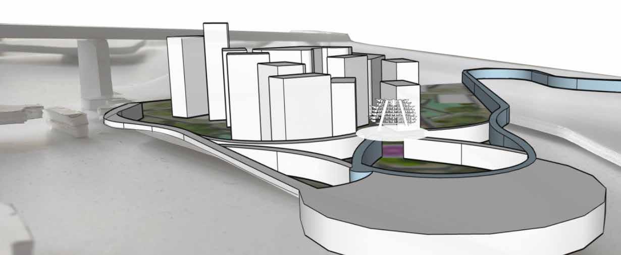
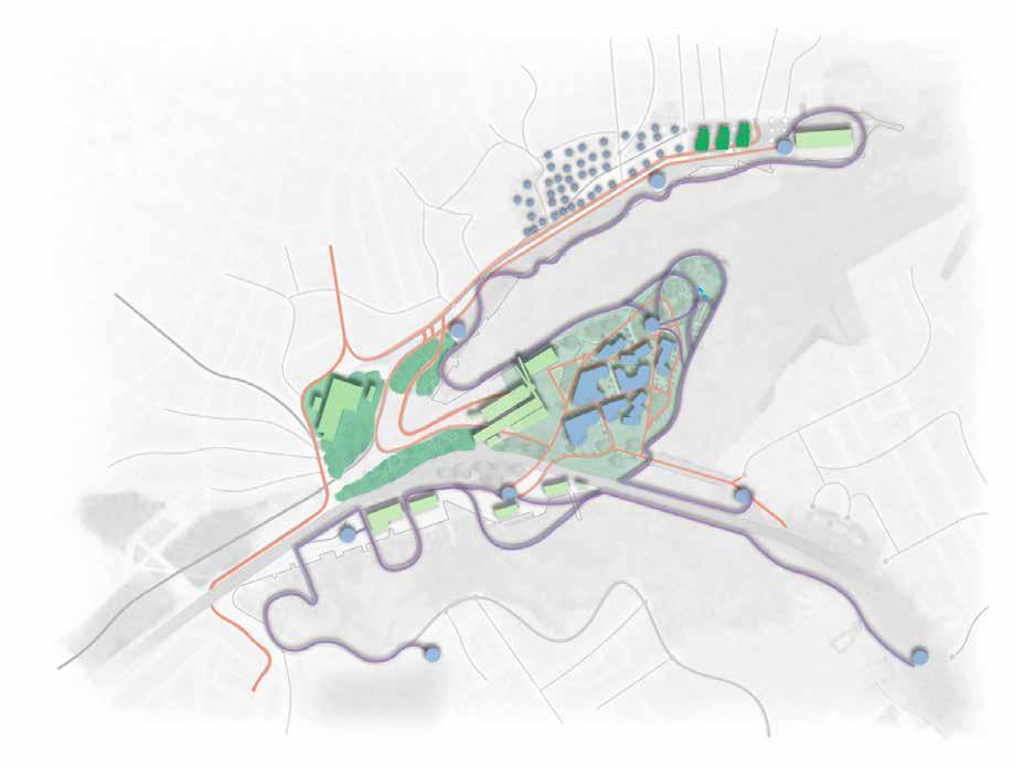
1. IMPROVE PRECINCT CONNECTIVITY
2. RETAINING EXISTING BUSINESSES AT ROZELLE BAY AND BAYS WATERWAYS
3. PROVIDE NEW AND IMPROVED ACTIVE GREEN SPACES
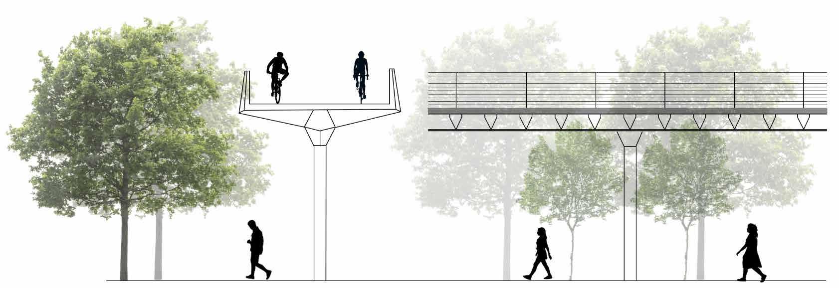
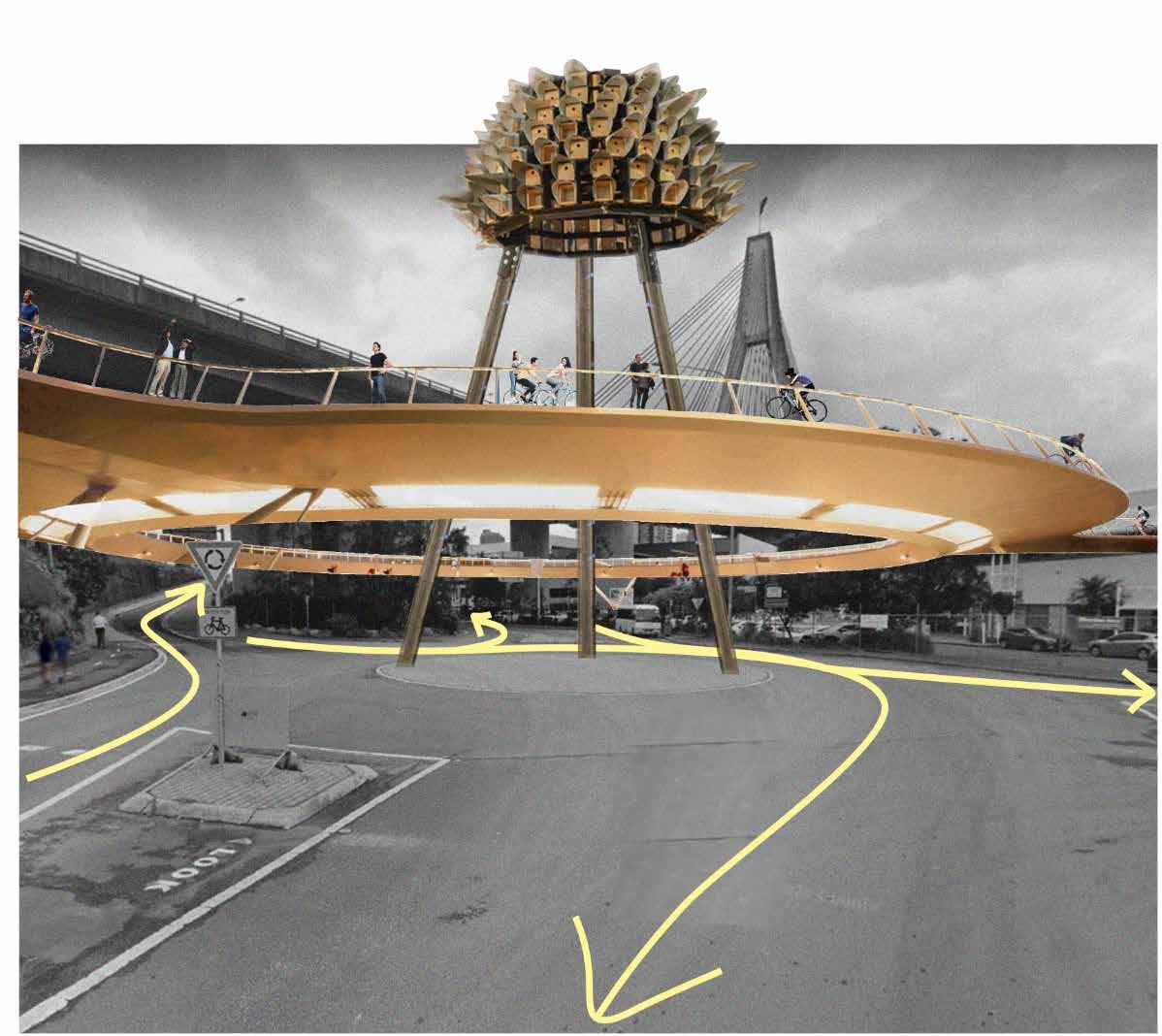
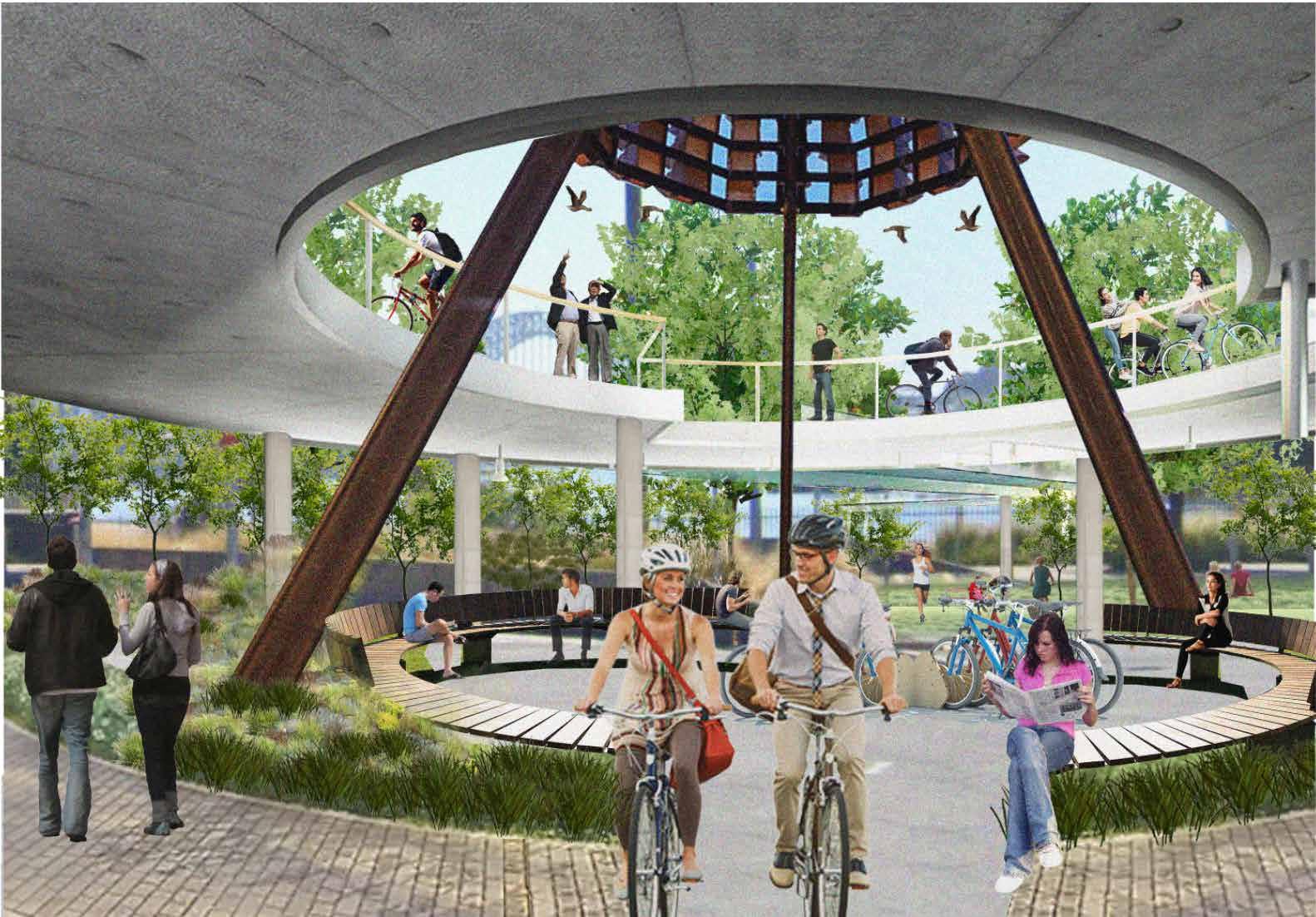
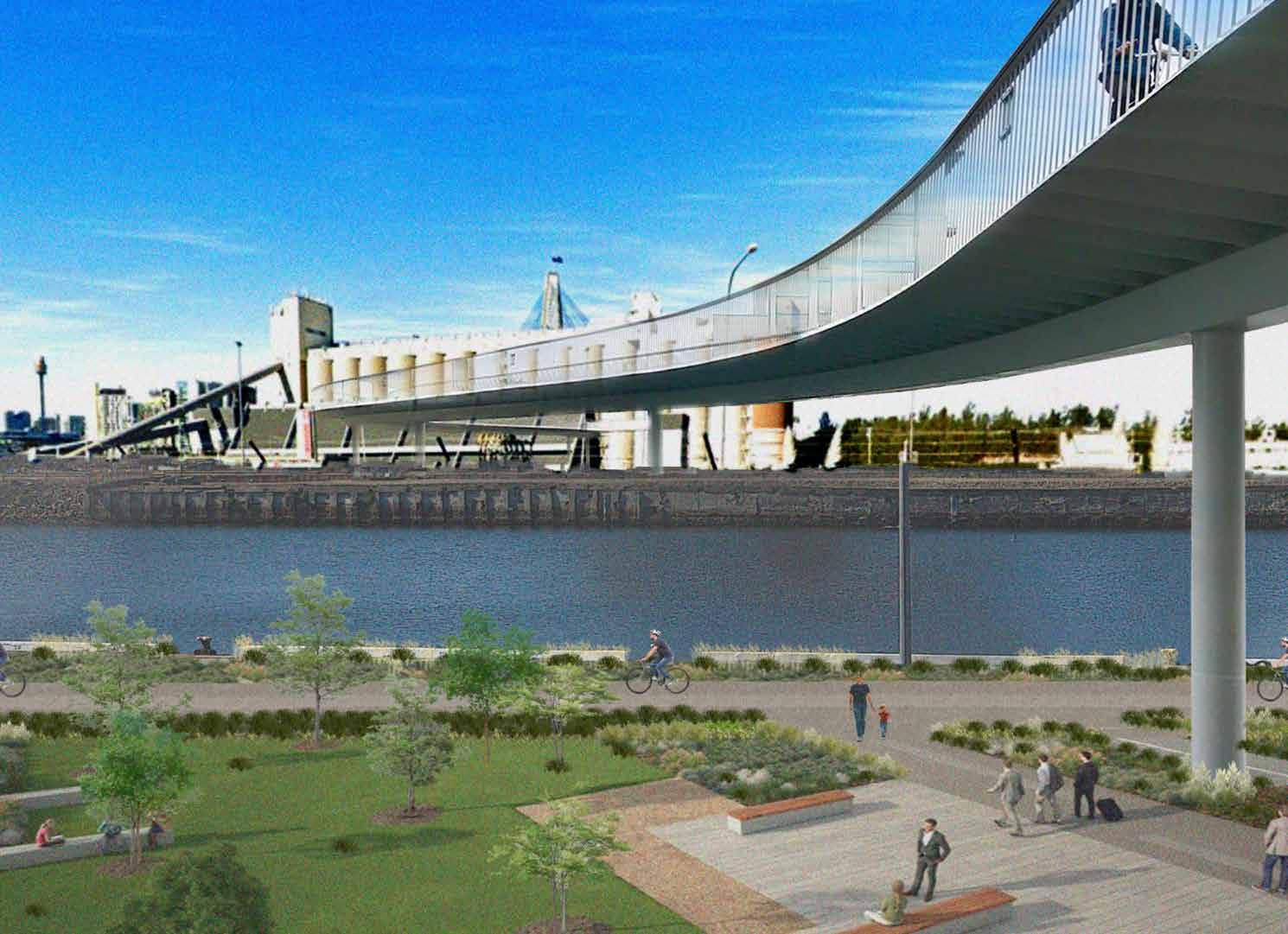
4. PROVIDE A SEPERATE ELEVATED CYCLEWAY CONNECTING THE BAYS PRECINCT
5. IMPROVE ACTIVE TRANSPORT ACCESS AROUND THE SITE
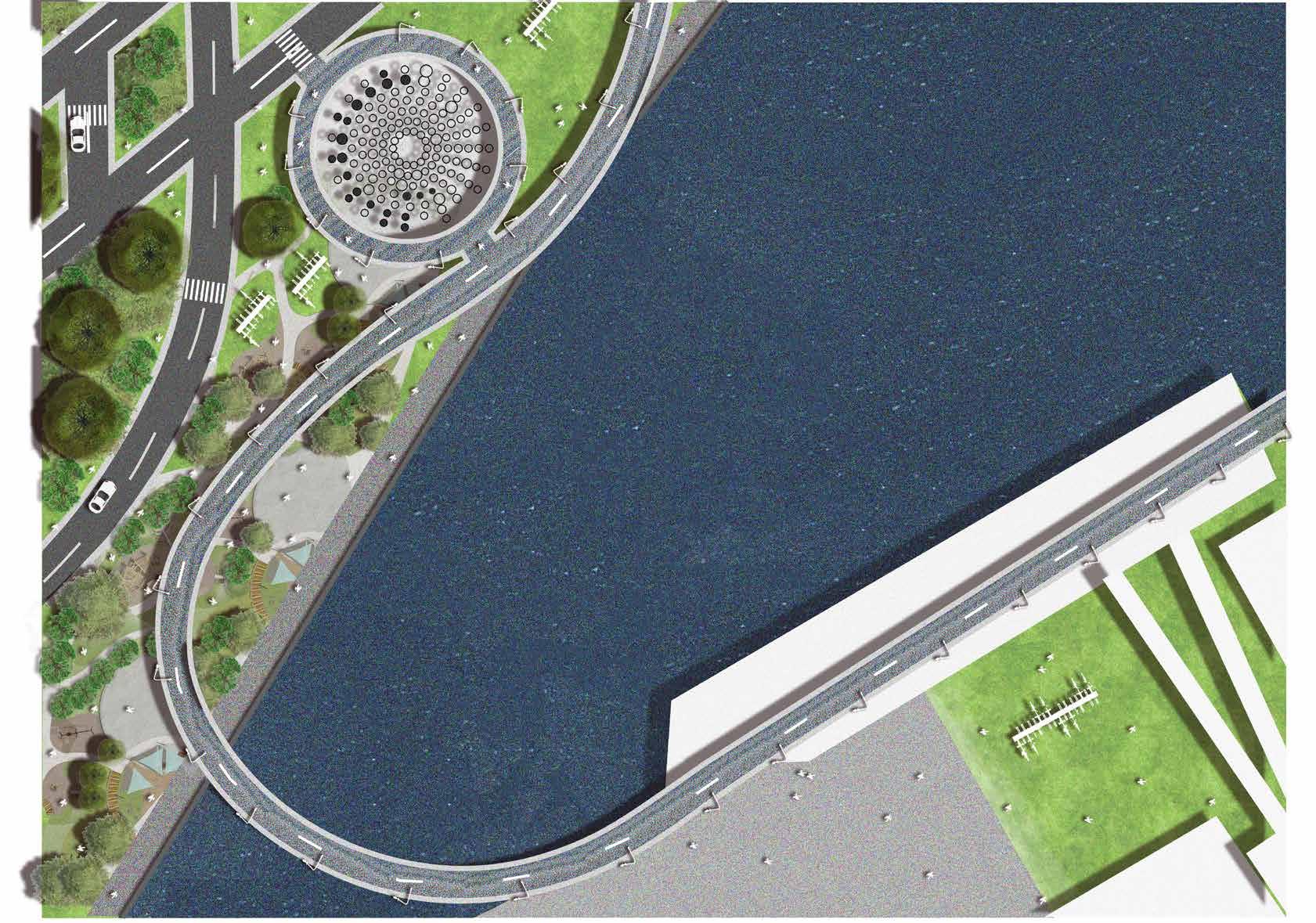
6. RESTORE GLEBE ISLAND BRIDGE FOR ACTIVE TRANSPORT USE
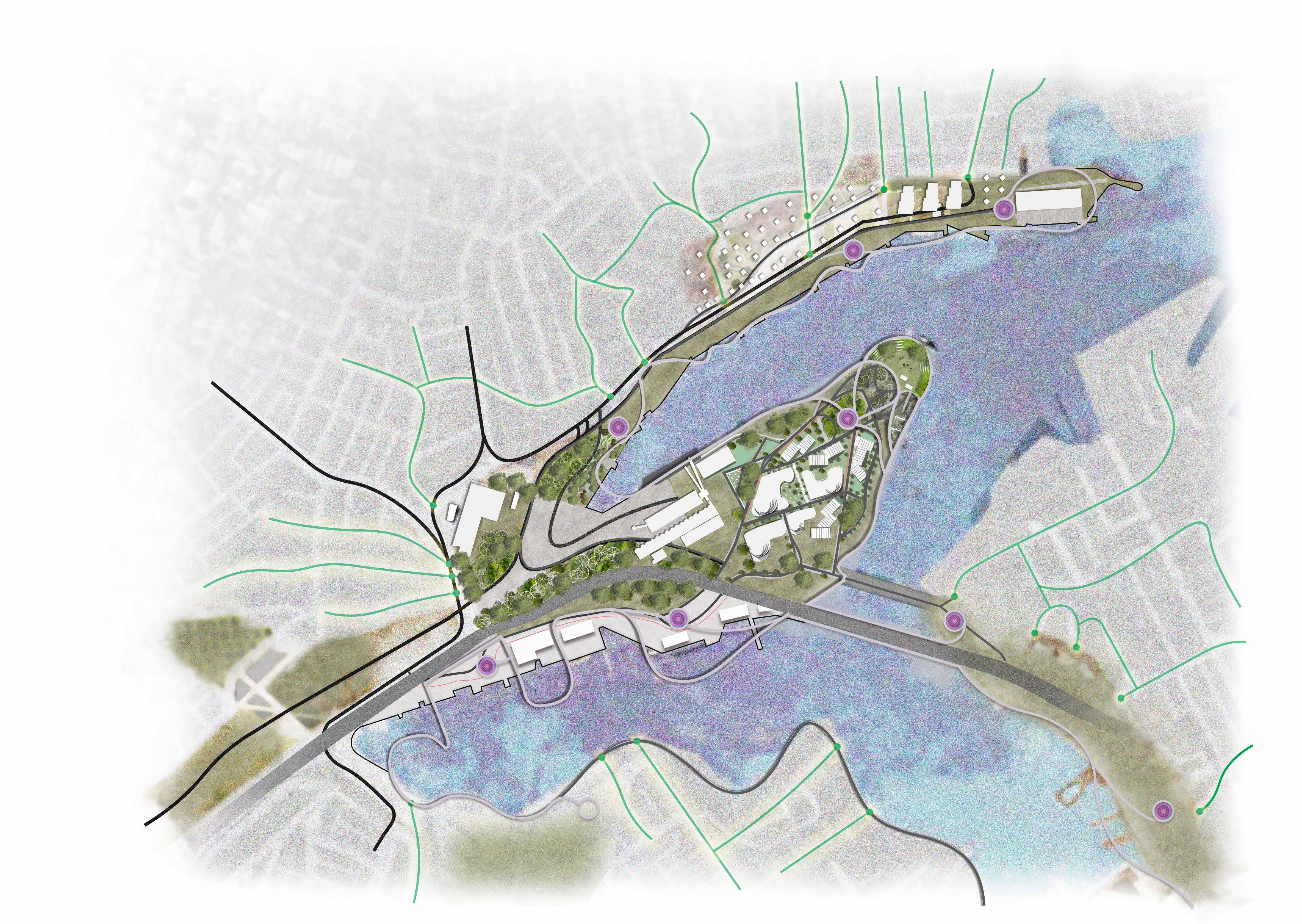
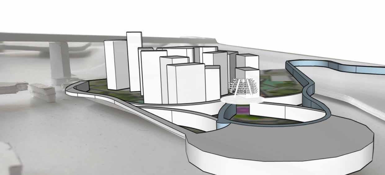
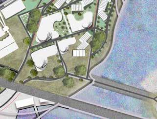
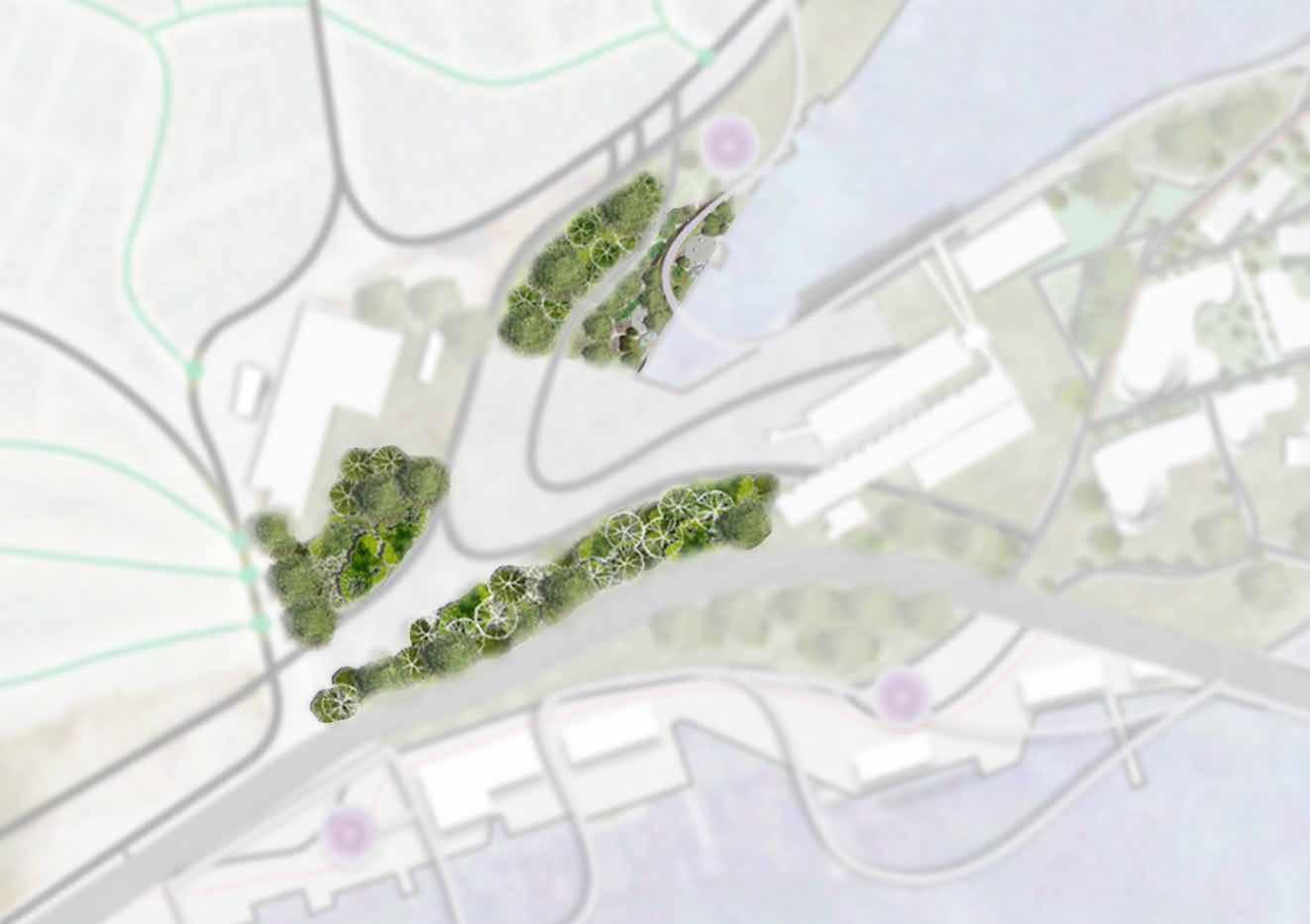
MASTER PLAN
REGENERATE
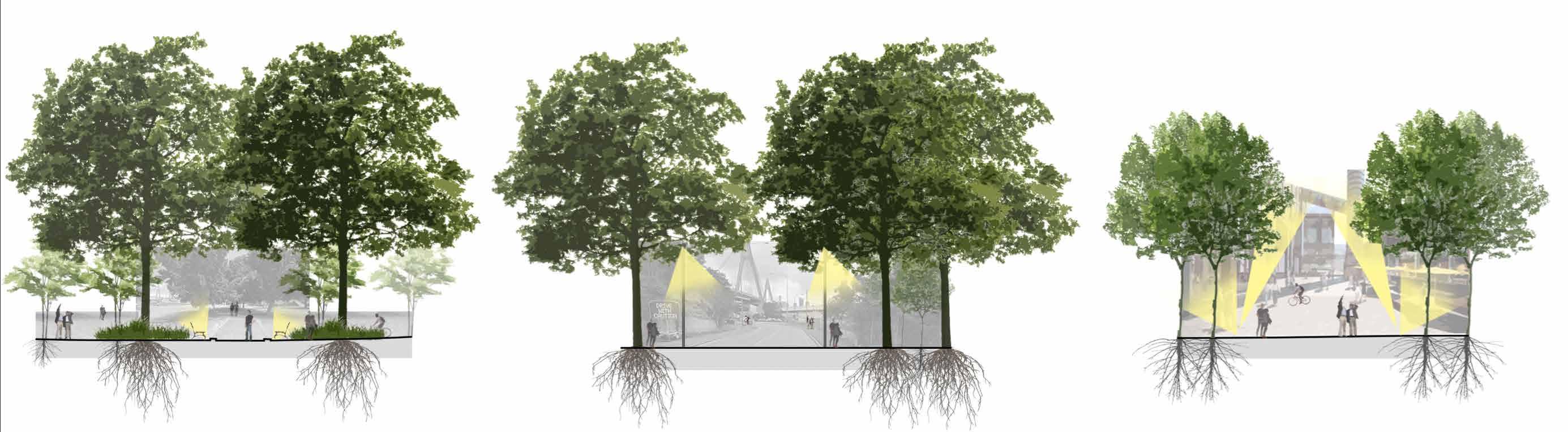
PRECINCT MATERIALS
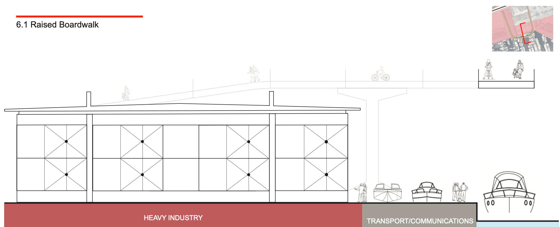
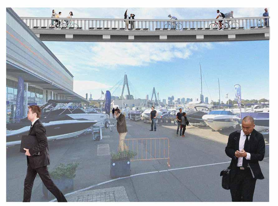
ELEVATED PATH
ELEVATED PATH
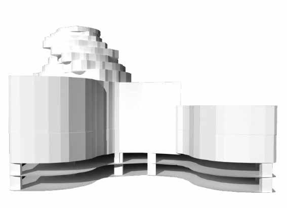
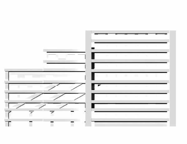
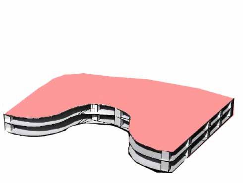
PRECINCT BLOCK TYPES
Natural Form Complex Terraced Apartment
GFA: 270,300m2
Type 1: 90,600m2
Type 2: 45,300m2
No of Dwellings:
Type 1: 1812
Type 2: 906
Population No:
Type 1: 5436
Type 2: 2718
GFA: 241,450m2
Type 1: 22,300m2
Type 2: 21,150m2
No of Dwellings:
Type 1: 2203
Type 2: 210
Population No:
Type 1: 6,609
Type 2: 630
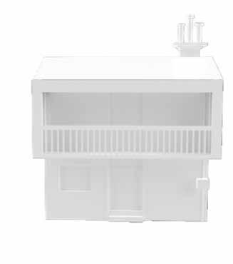
Residential House Residential + Commercial
GFA: 17,100m2
Type 1: 17,100m2
No of Dwellings:
Type 1: 144
Population No:
Type 1: 1035
GFA: 23,600m2
Type 1: 19,600m2
Type 2: 4000m2
No of Dwellings:
Type 1: 50
Type 2: 8
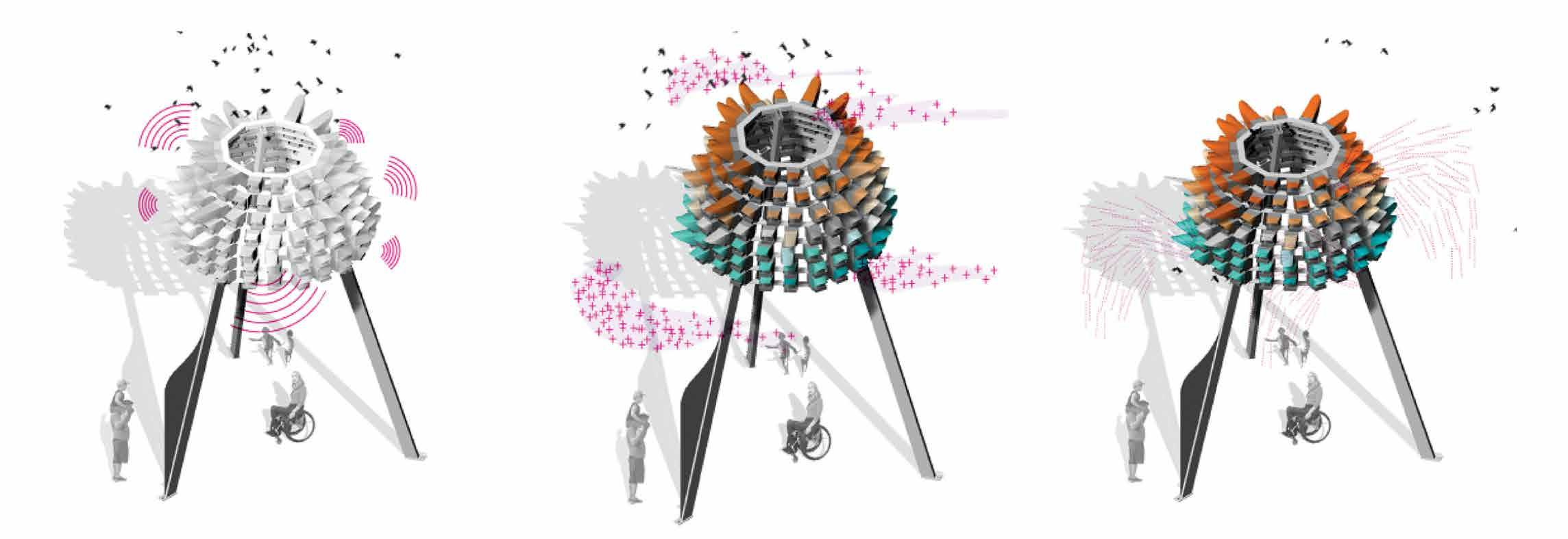
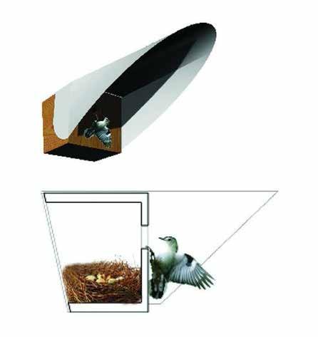
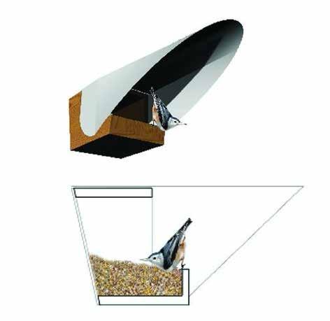
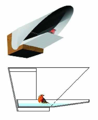
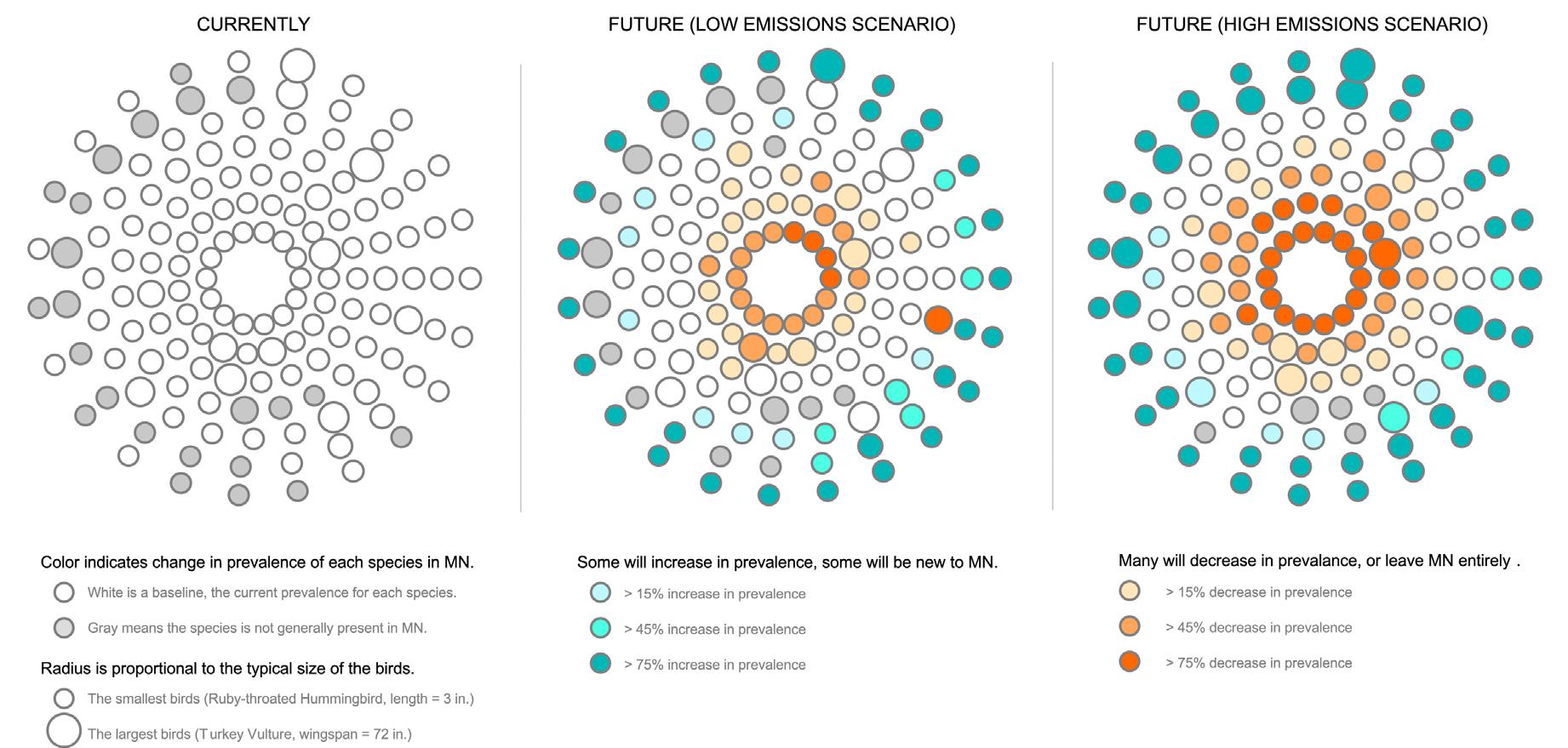
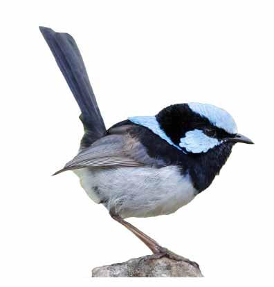
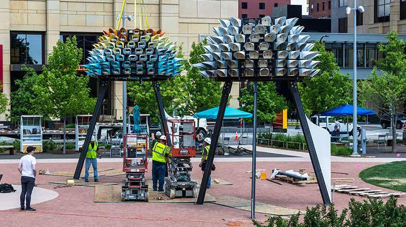
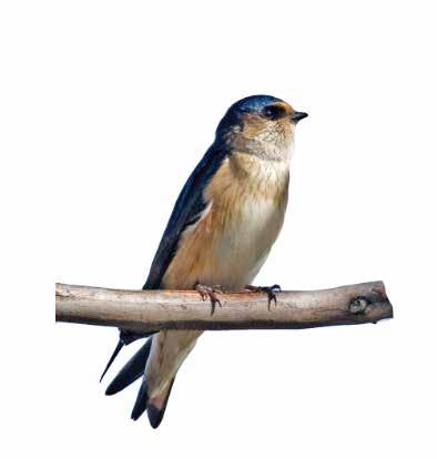
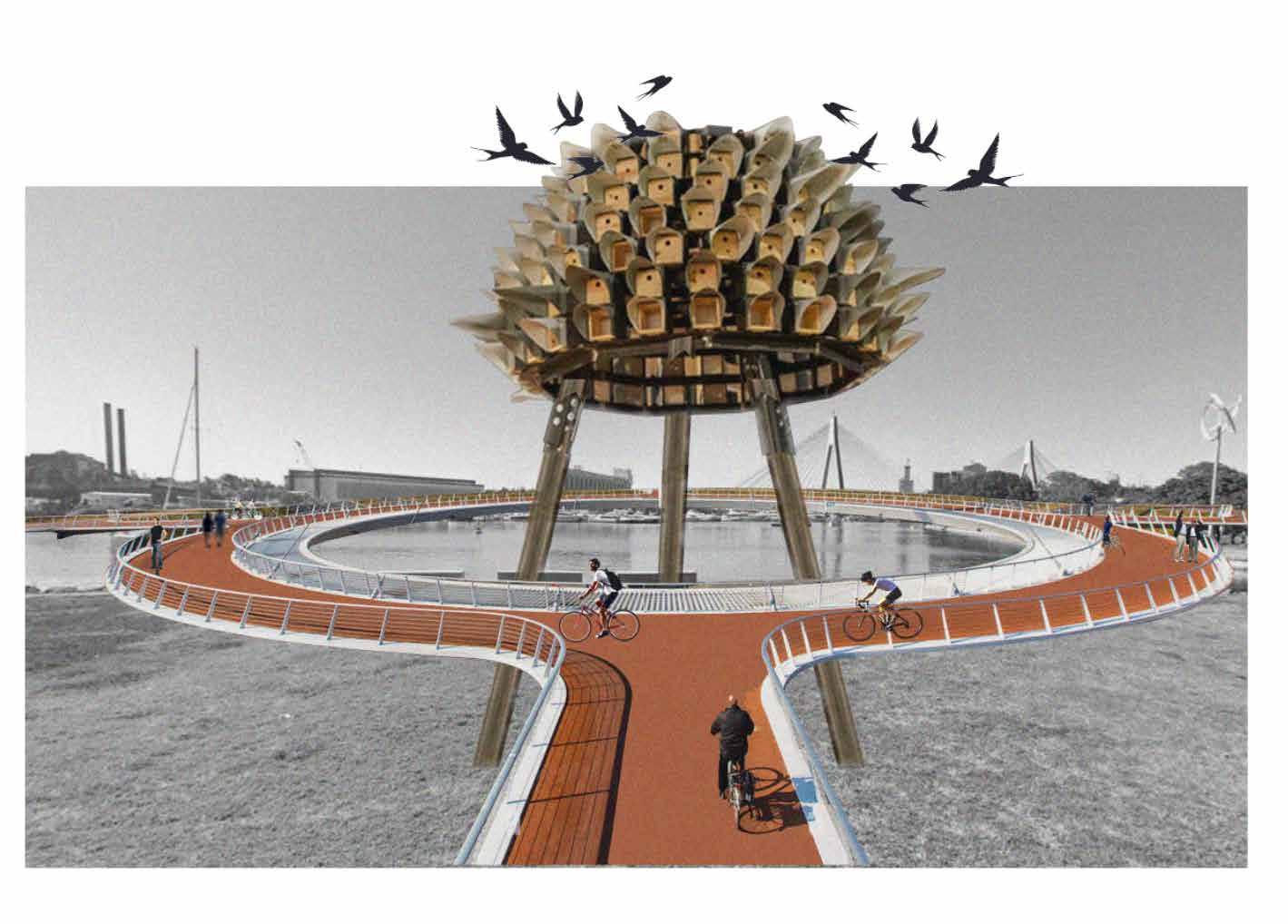
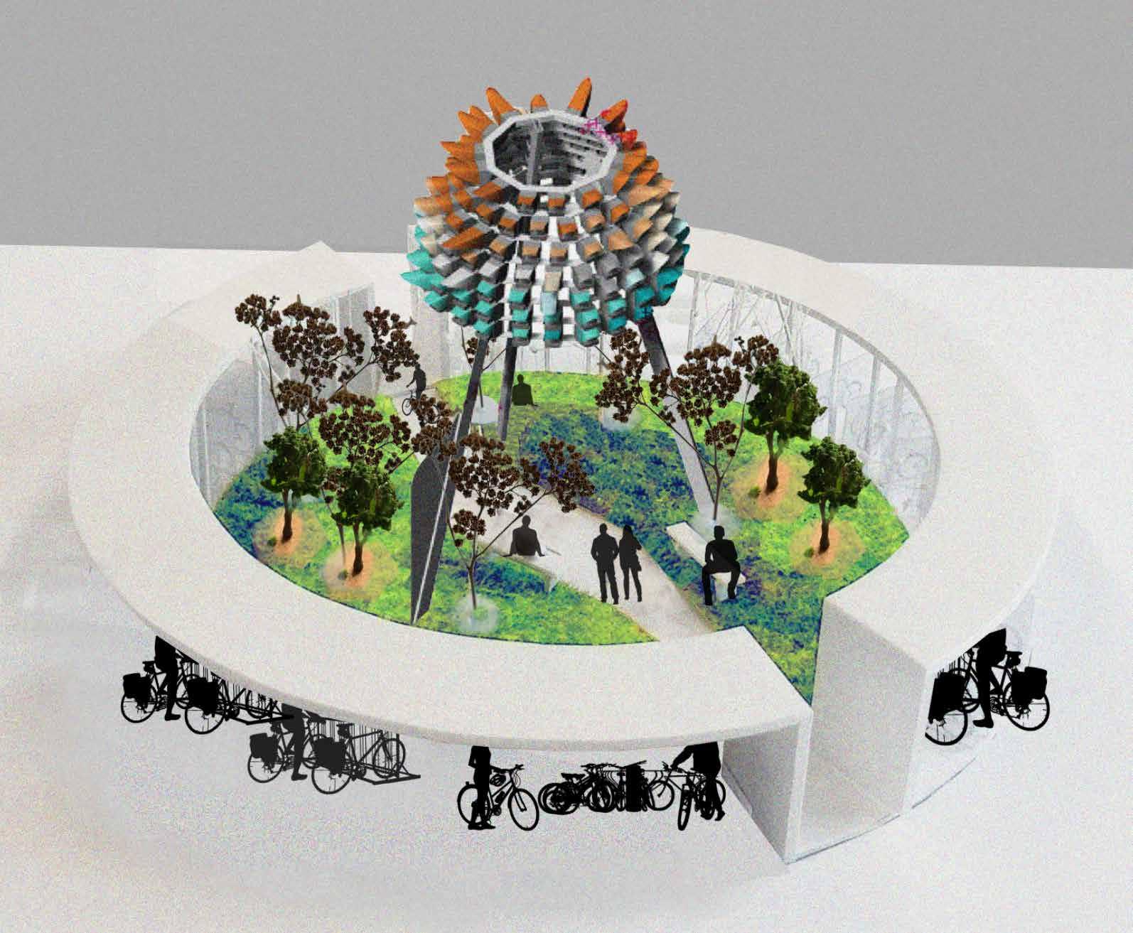
BIRD HABITAT
ORBACLES
How can we further Biodiversity at the Bays Precinct ?
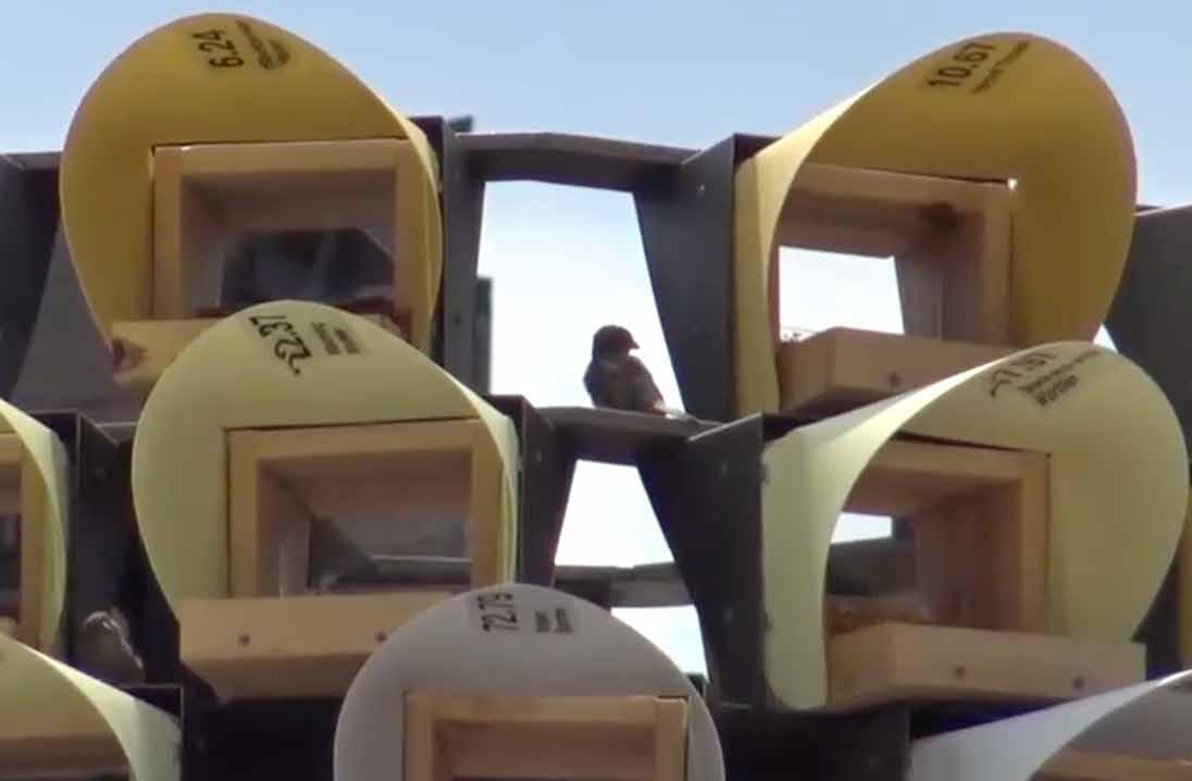
ORBACLE A / BIRD HOUSE PRESENT (2021) BIRD POPULATION
HOUSE - SOUND
The bird houses are filled with nesting materials, and activated with bird sounds, coming from speakers hidden in the modules,powered by solar panels. ORBACLE B / BIRD FOOD
FOOD - SCENT
The
BATH - WATER
BIRD HABITAT
Can we protect local bird species from climate change over the next 100 years through the implamentation of these bird habitats ?
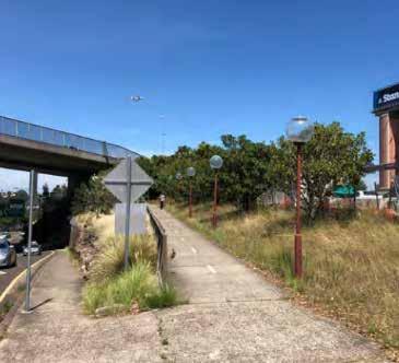
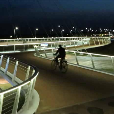
Lighting is to be upgraded throughout the Bays precinct to provide improved safety as well as to highlight and celebrate significant features in the precinct. It is recommended that new column lighting be provided around the precinct. This custom column light could be designed using the distinctive red colour of the existing poles.
The adoption of improved LED light fittings will enhance safety and reduce light spill and energy consumption. These would be located on key pedestrian through site links, including the diagonal path linking Denison Street and Lilyfield Road access point to Glebe point road access point.
LIGHTING
TYPE 1: Primary Path
Accent and up lighting
2: Primary Path Colum lighting
3:
lighting Heritage items
TYPE
TYPE
ACTIVE SPACES
SHOPFRONTS
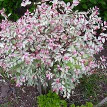
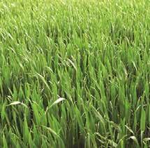
PHYTOREMEDIATION
Can we commence Phytoremediation in 2023 ?
PRECINCT PLANTING PHYTOREMEDIATION
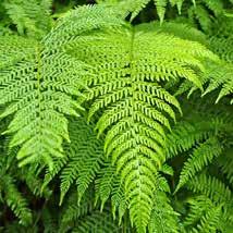
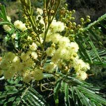
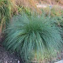
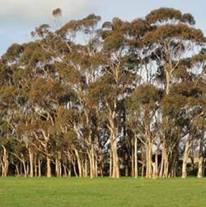
REMEDIATION PLANTS
Existing plants species (present industrial context)